Acorn Wood

Wood, Forest in Gloucestershire Forest of Dean

England

Acorn Wood

Farm drive to Knappers Farm The winding farm drive leading to Knappers Farm near Newent.  A public footpath follows this drive.
Farm drive to Knappers Farm Credit: Philip Halling

Acorn Wood is a charming woodland located in Gloucestershire, England. Covering an area of approximately 100 acres, this forest is a haven of natural beauty and tranquility. It is situated near the village of Acorn, hence its name.

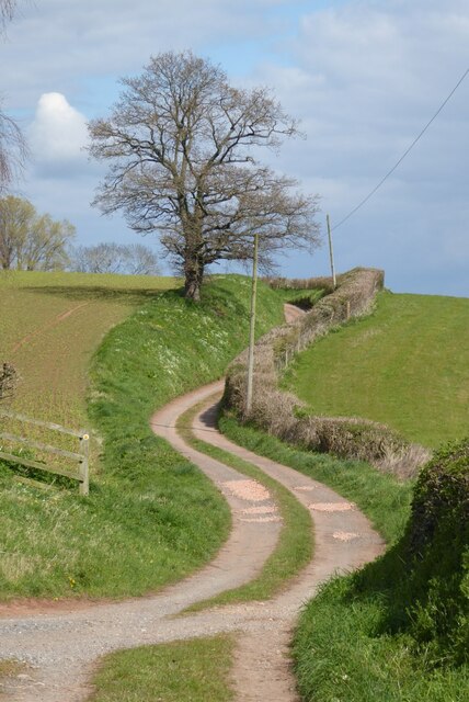
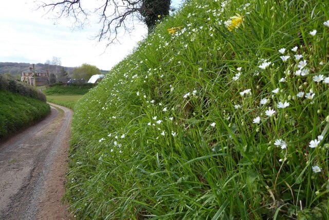
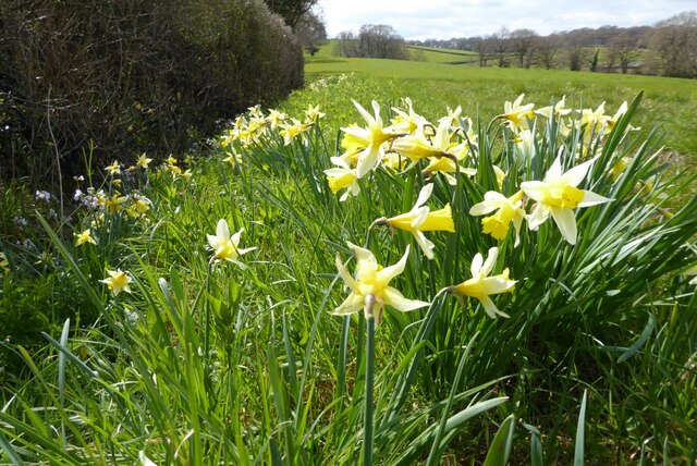
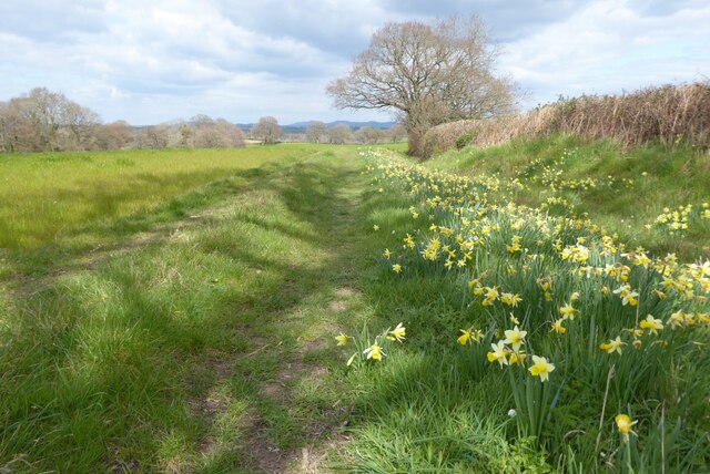
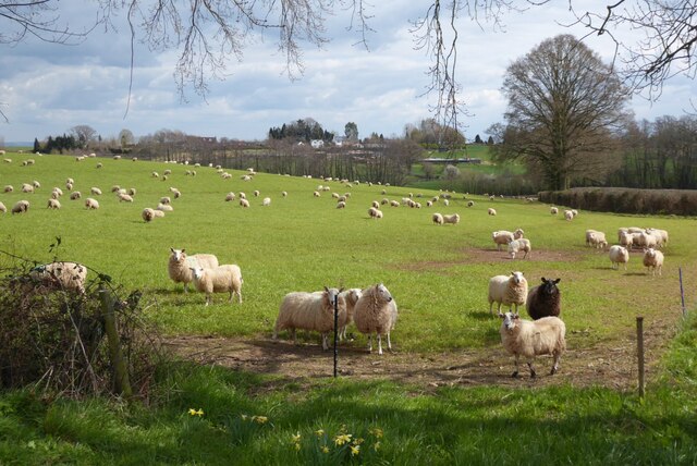
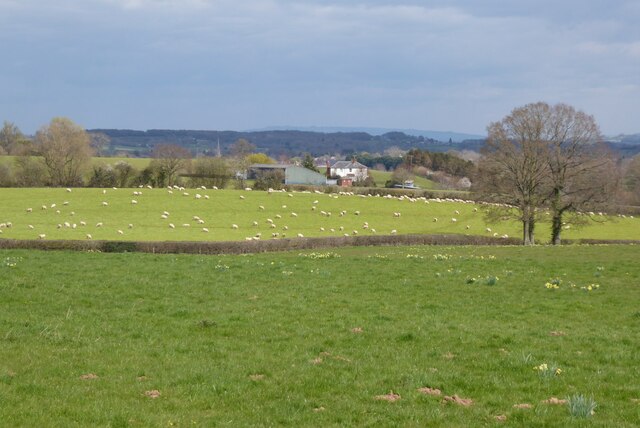
The woodland is predominantly composed of broadleaf trees, such as oak, beech, and ash, which create a dense canopy overhead, providing shade and shelter for a variety of flora and fauna. The forest floor is adorned with a vibrant carpet of wildflowers, including bluebells, primroses, and wood anemones, which bloom in spring, creating a picturesque scene.

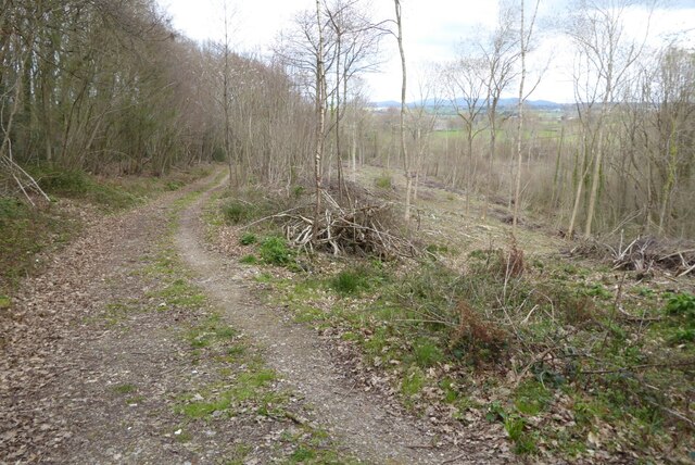
Acorn Wood is a popular destination for nature lovers and outdoor enthusiasts. It offers a network of well-maintained walking trails and pathways, allowing visitors to explore the forest at their own pace. These trails meander through the woodland, revealing hidden streams, enchanting glades, and ancient trees.

The woodland is also home to a diverse range of wildlife. Birdwatchers can spot species such as woodpeckers, nuthatches, and tawny owls, while lucky visitors may catch a glimpse of elusive mammals like foxes, badgers, and deer. The forest provides a vital habitat for these creatures and plays an essential role in maintaining the local ecosystem.

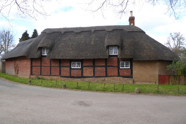
Acorn Wood is not only a place of natural beauty but also holds cultural and historical significance. It has been a source of inspiration for artists, writers, and poets throughout the years. Its ancient trees and mystical atmosphere create a sense of timelessness and allow visitors to connect with nature on a deeper level.

In conclusion, Acorn Wood is a captivating forest in Gloucestershire, offering a serene escape from the hustle and bustle of everyday life. Its diverse wildlife, stunning flora, and tranquil ambiance make it a must-visit destination for nature enthusiasts and those seeking a peaceful retreat.

If you have any feedback on the listing, please let us know in the comments section below.
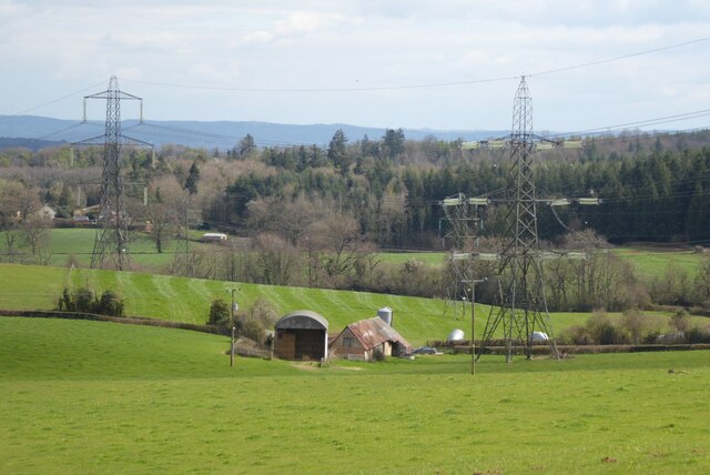
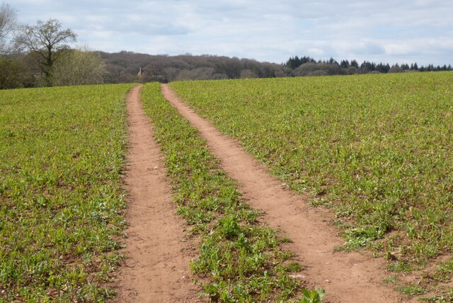
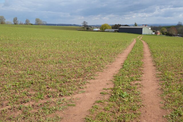
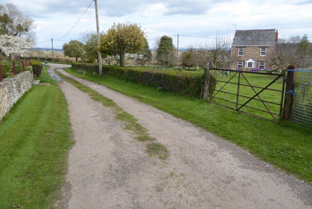
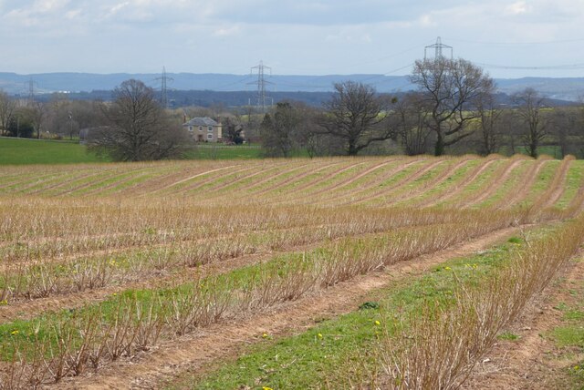
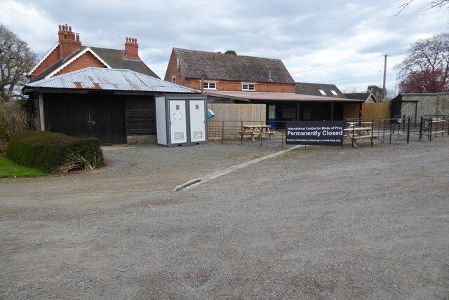
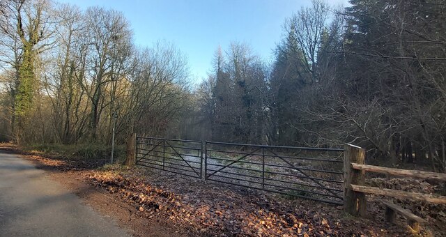
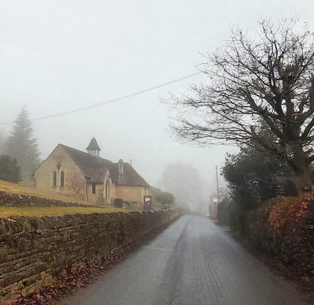
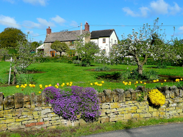
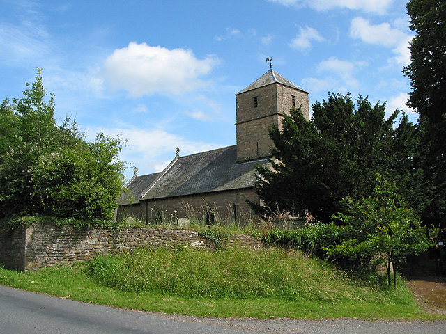
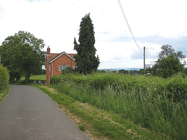
Acorn Wood Images

Images are sourced within 2km of 51.91517/-2.4355755 or Grid Reference SO7024. Thanks to Geograph Open Source API. All images are credited.

Farm drive to Knappers Farm The winding farm drive leading to Knappers Farm near Newent.  A public footpath follows this drive.
Farm drive to Knappers Farm
The winding farm drive leading to Knappers Farm near Newent. A public footpath follows this drive.
Spring blooms on the roadside The farm drive to Knappers Farm has become sunken, no doubt from centuries of use.  Spring bloom as colour to the grass bank.  The farmhouse can be seen in the background.
Spring blooms on the roadside
The farm drive to Knappers Farm has become sunken, no doubt from centuries of use. Spring bloom as colour to the grass bank. The farmhouse can be seen in the background.
Wild daffodils Wild daffodils beside a field hedgerow near Knappers Farm.
Wild daffodils
Wild daffodils beside a field hedgerow near Knappers Farm.
Daffodils and a footpath This footpath near Knappers Farm is the route of the Geopark Way.  Wild daffodils are a feature of this corner of Gloucestershire.
Daffodils and a footpath
This footpath near Knappers Farm is the route of the Geopark Way. Wild daffodils are a feature of this corner of Gloucestershire.
Sheep near Knappers Farm Sheep in a field beside the Geopark Way to the south-west of Knappers Farm.
Sheep near Knappers Farm
Sheep in a field beside the Geopark Way to the south-west of Knappers Farm.
Farmland around Knappers Farm View to the north-east from the Geopark Way where it enters Acorn Wood.  Sheep graze a field in the middle distance with Knappers Farm beyond.  The spire of Newent Church can be seen to the left of centre.
Farmland around Knappers Farm
View to the north-east from the Geopark Way where it enters Acorn Wood. Sheep graze a field in the middle distance with Knappers Farm beyond. The spire of Newent Church can be seen to the left of centre.
Bradfords Cottage An early 17th century timber-framed thatched cottage just outside Newent.  The cottage is Grade II listed, see: <span class="nowrap"><a title="https://historicengland.org.uk/listing/the-list/list-entry/1172282?section=official-list-entry" rel="nofollow ugc noopener" href="https://historicengland.org.uk/listing/the-list/list-entry/1172282?section=official-list-entry">Link</a><img style="margin-left:2px;" alt="External link" title="External link - shift click to open in new window" src="https://s1.geograph.org.uk/img/external.png" width="10" height="10"/></span>
Bradfords Cottage
An early 17th century timber-framed thatched cottage just outside Newent. The cottage is Grade II listed, see: LinkExternal link
Footpath through Acorn Word The Geopark Way follows this footpath through Acorn Wood to the south of Newent.  Here the wood is partially felled.
Footpath through Acorn Word
The Geopark Way follows this footpath through Acorn Wood to the south of Newent. Here the wood is partially felled.
Farm buildings Farm buildings and electricity pylons near Clifford Mesne.
Farm buildings
Farm buildings and electricity pylons near Clifford Mesne.
Footpath crossing an arable field The Geopark Way follows this footpath across this field near Knappers Farm.
Footpath crossing an arable field
The Geopark Way follows this footpath across this field near Knappers Farm.
Footpath approaching Knappers Farm The Geopark Way follows this footpath approaching Knappers Farm.
Footpath approaching Knappers Farm
The Geopark Way follows this footpath approaching Knappers Farm.
Footpath and track Footpath and track near Clifford's Mesne.
Footpath and track
Footpath and track near Clifford's Mesne.
Farmland near Clifford's Mesne I am not sure what the bushes are in this field, possibly currents.
Farmland near Clifford's Mesne
I am not sure what the bushes are in this field, possibly currents.
Former Newent Falconry centre Sadly this falconry centre is no longer open.
Former Newent Falconry centre
Sadly this falconry centre is no longer open.
A field of broad beans Broad beans beside a footpath in a field to the south of Newent.
A field of broad beans
Broad beans beside a footpath in a field to the south of Newent.
Footpath approaching Brook Farm Footpath approaching Brook Farm to the south of Newent.
Footpath approaching Brook Farm
Footpath approaching Brook Farm to the south of Newent.
Gated Track in Newent Woods
St Peter's Church - Clifford's Mesne
Show me another place!

Acorn Wood is located at Grid Ref: SO7024 (Lat: 51.91517, Lng: -2.4355755)

Administrative County: Gloucestershire

District: Forest of Dean

Police Authority: Gloucestershire

What 3 Words

///hamper.kindness.impressed. Near Newent, Gloucestershire

Related Wikis

Nearby Amenities

Located within 500m of 51.91517,-2.4355755
Ravenhill
Is In: Gloucestershire, England, UK
Place: hamlet
Source: NPE
Lat/Long: 51.9164116/-2.4385618
Bus Stop
Falconry Centre
Naptan AtcoCode: 1600GL3433
Naptan Bearing: NE
Naptan CommonName: Falconry Centre
Naptan Indicator: Opp
Naptan NaptanCode: gloamjwa
Naptan Street: Newent Rd
Naptan Verified: no
Source: naptan_import
Lat/Long: 51.9139862/-2.4287315
Bus Stop
Falconry Centre
Naptan AtcoCode: 1600GL3434
Naptan Bearing: SW
Naptan CommonName: Falconry Centre
Naptan NaptanCode: gloamjwd
Naptan Street: Newent Rd
Naptan Verified: no
Source: naptan_import
Lat/Long: 51.9139323/-2.4287165
Bus Stop
Woodbar Cottage
Naptan AtcoCode: 1600GLF043
Naptan Bearing: N
Naptan CommonName: Woodbar Cottage
Naptan NaptanCode: gloamjmw
Naptan Street: Newent Rd
Naptan Verified: no
Source: naptan_import
Lat/Long: 51.9118809/-2.4315755
Bus Stop
Woodbar Cottage
Naptan AtcoCode: 1600GLF044
Naptan Bearing: S
Naptan CommonName: Woodbar Cottage
Naptan Indicator: Opp
Naptan NaptanCode: gloamjpa
Naptan Street: Newent Rd
Naptan Verified: no
Source: naptan_import
Lat/Long: 51.9117462/-2.431516
Barrier: kissing_gate
Lat/Long: 51.9192038/-2.4379924
Barrier: stile
Lat/Long: 51.9112974/-2.4379302
Barrier: kissing_gate
Lat/Long: 51.9178305/-2.438875
Barrier: stile
Lat/Long: 51.9149371/-2.4411433
Barrier: kissing_gate
Lat/Long: 51.9149531/-2.4412635
Ravenhill
Power: pole
Transformer: distribution
Voltage Primary: 11000
Lat/Long: 51.9170344/-2.4392653
Power: pole
Lat/Long: 51.9173806/-2.438985
Power: pole
Lat/Long: 51.9177284/-2.4387348
Power: pole
Lat/Long: 51.918513/-2.4381924
Power: pole
Lat/Long: 51.9194709/-2.4375252
Hudgemore
Power: pole
Transformer: distribution
Voltage Primary: 11000
Lat/Long: 51.9113185/-2.4385625
Power: pole
Lat/Long: 51.9112044/-2.4377967
Power: pole
Lat/Long: 51.9110832/-2.4370055
Power: pole
Lat/Long: 51.9108631/-2.4360359
The data included in this document is from www.openstreetmap.org. The data is made available under ODbL.

Have you been to Acorn Wood?

Leave your review of Acorn Wood below (or comments, questions and feedback).