Crabtree Bank Wood

Wood, Forest in Yorkshire Craven

England

Crabtree Bank Wood

Greystonegill Lane approaching High Barn Looking southward. The rounded outline of Burn Moor can be seen in the far distance.
Greystonegill Lane approaching High Barn Credit: Peter Wood

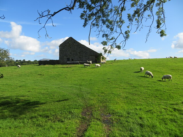
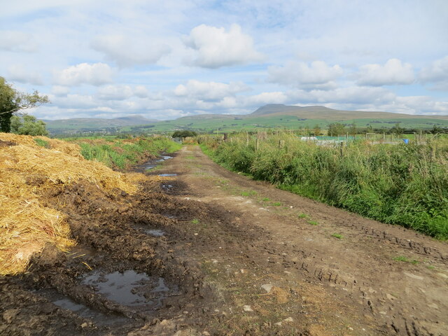
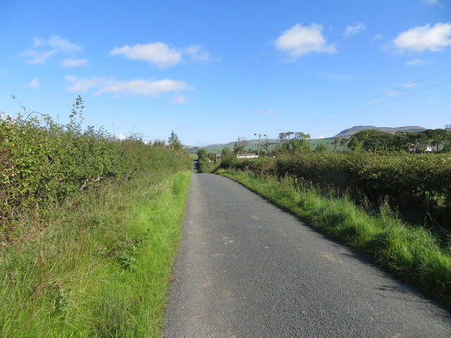
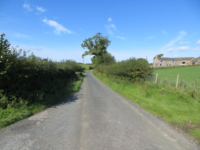
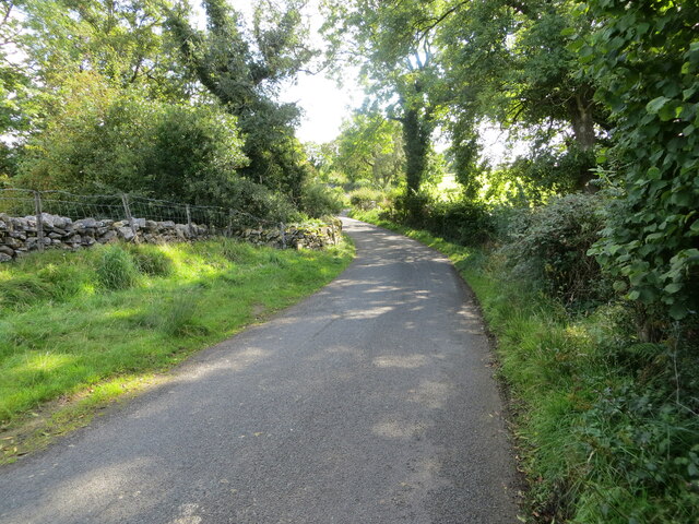
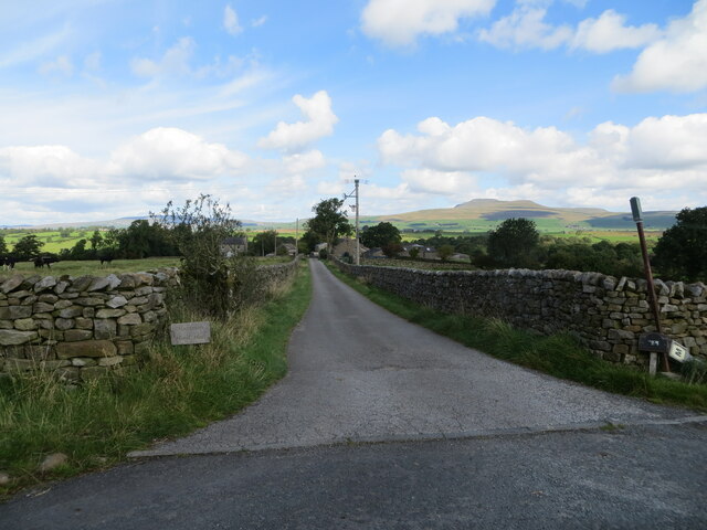
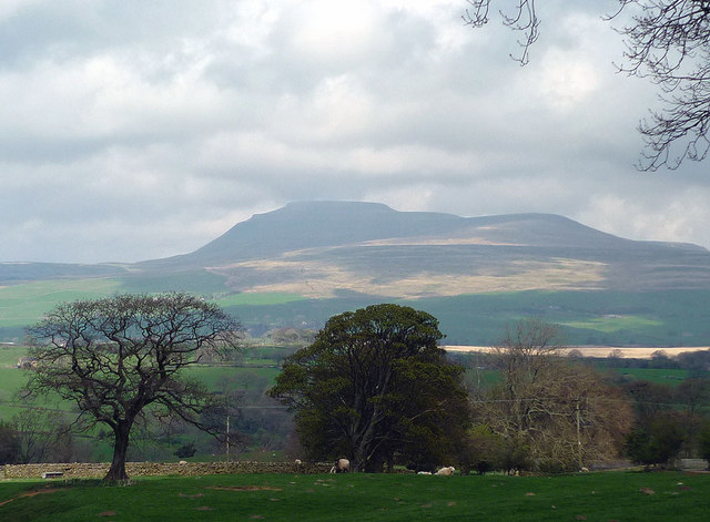
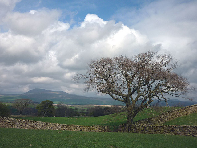
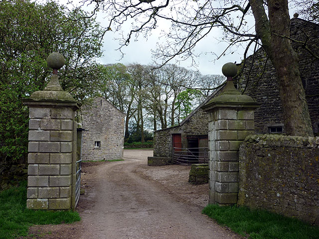
Crabtree Bank Wood is a picturesque woodland located in the county of Yorkshire, England. Situated near the village of Crabtree Bank, it covers an area of approximately 50 acres and is known for its diverse range of flora and fauna.

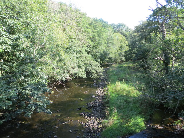
The woodland is characterized by its dense canopy of oak, beech, and ash trees, which provide a majestic and serene atmosphere. The forest floor is adorned with a plethora of wildflowers, including bluebells, primroses, and wood anemones, creating a vibrant and colorful display during the spring and summer months.

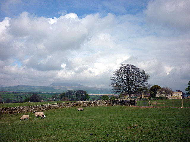
Crabtree Bank Wood is a haven for wildlife enthusiasts, as it is home to various species of birds, such as woodpeckers, owls, and warblers. Additionally, it provides a habitat for small mammals like squirrels, rabbits, and voles. The woodland's diverse ecosystem also supports a range of insects, butterflies, and moths, attracting nature lovers and photographers alike.

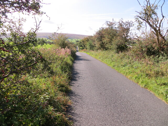
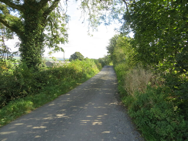
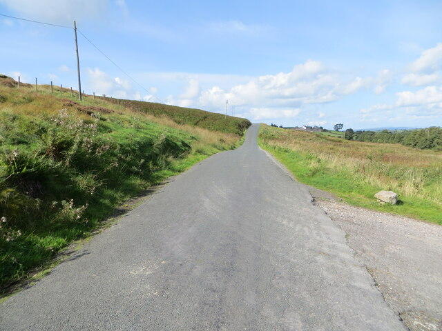
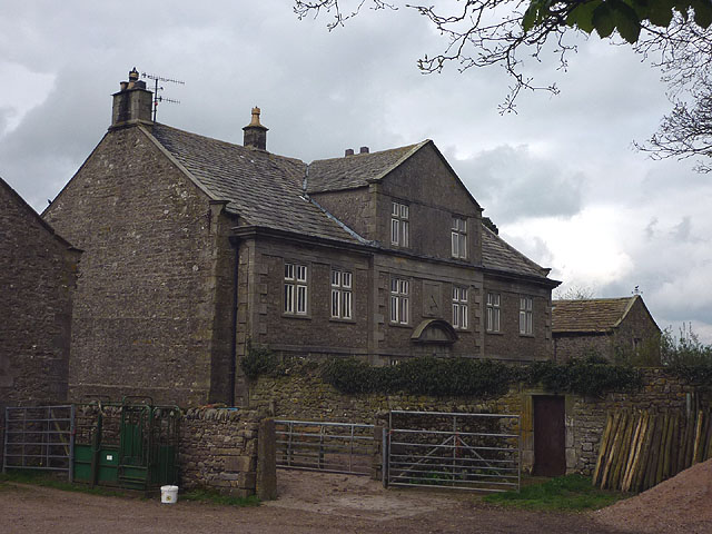
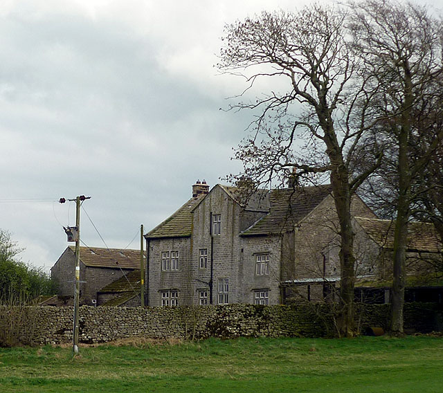
Visitors can explore the wood through a network of well-maintained footpaths and trails, allowing them to immerse themselves in the beauty of nature. The tranquil atmosphere and peaceful surroundings make it an ideal spot for walking, picnicking, and observing wildlife.

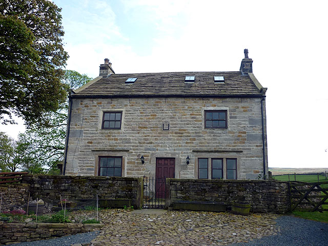
Crabtree Bank Wood is managed by the local authorities, who strive to preserve its natural beauty and protect its delicate ecosystem. They conduct regular maintenance work, ensuring the paths are clear and safe for visitors.

In conclusion, Crabtree Bank Wood is a charming woodland in Yorkshire, offering a peaceful escape from the hustle and bustle of everyday life. Its rich biodiversity and stunning scenery make it a must-visit destination for nature enthusiasts and those seeking tranquility amidst the beauty of the natural world.

If you have any feedback on the listing, please let us know in the comments section below.

Crabtree Bank Wood Images

Images are sourced within 2km of 54.106991/-2.458172 or Grid Reference SD7067. Thanks to Geograph Open Source API. All images are credited.

Greystonegill Lane approaching High Barn Looking southward. The rounded outline of Burn Moor can be seen in the far distance.
Greystonegill Lane approaching High Barn
Looking southward. The rounded outline of Burn Moor can be seen in the far distance.
River Wenning at Greystonegill Bridge Looking north-eastward upstream.
River Wenning at Greystonegill Bridge
Looking north-eastward upstream.
Pastureland and field barn on Buffet Hill Looking north-eastward.
Pastureland and field barn on Buffet Hill
Looking north-eastward.
Mewith Lane approaching New House Looking eastward.
Mewith Lane approaching New House
Looking eastward.
Track between piles of maure and Triangulation Pillar at Lingshaw Cross Looking north-eastward.
Track between piles of maure and Triangulation Pillar at Lingshaw Cross
Looking north-eastward.
Hedge enclosed lane near Chesters Looking north-eastward towards Kiln Lodge. In the far distance (right) Ingleborough can be seen.
Hedge enclosed lane near Chesters
Looking north-eastward towards Kiln Lodge. In the far distance (right) Ingleborough can be seen.
Hedge and fence enclosed lane at Chesters Looking westward.
Hedge and fence enclosed lane at Chesters
Looking westward.
Hollin Lane at Ratton Syke Bridge Looking south-eastward.
Hollin Lane at Ratton Syke Bridge
Looking south-eastward.
Access to Hammon Head Hall Looking northward from Bloe Beck Lane. Ingleborough is visible on the skyline.
Access to Hammon Head Hall
Looking northward from Bloe Beck Lane. Ingleborough is visible on the skyline.
Mewith Lane beside Cinder Hill Looking north-westward.
Mewith Lane beside Cinder Hill
Looking north-westward.
Approaching Crow Trees The footpath from Gruskham heads through sheep pastures with a good view of Ingleborough.
Approaching Crow Trees
The footpath from Gruskham heads through sheep pastures with a good view of Ingleborough.
Crow Trees farmhouse Most of the farmhouses up here in the Forest of Mewith seem to be converted. This one has a 1770 date stone with initials IR. It is Grade II listed <span class="nowrap"><a title="http://www.britishlistedbuildings.co.uk/en-324049-crow-trees-farmhouse-bentham" rel="nofollow ugc noopener" href="http://www.britishlistedbuildings.co.uk/en-324049-crow-trees-farmhouse-bentham">Link</a><img style="margin-left:2px;" alt="External link" title="External link - shift click to open in new window" src="https://s1.geograph.org.uk/img/external.png" width="10" height="10"/></span>
Crow Trees farmhouse
Most of the farmhouses up here in the Forest of Mewith seem to be converted. This one has a 1770 date stone with initials IR. It is Grade II listed LinkExternal link
Looking towards Ingleborough Once the cloud has cleared Ingleborough becomes the object that draws the eye.
Looking towards Ingleborough
Once the cloud has cleared Ingleborough becomes the object that draws the eye.
Walls and Ingleborough Encountered on the path east of Crow Trees.
Walls and Ingleborough
Encountered on the path east of Crow Trees.
Mewith Head Hall An unexpected sight up here almost at the upper edge of the pasture land of Mewith Forest. The hall is 18th Century although the owner(?) told me that he thought it once belonged to a standard bearer of Henry VIII. It is Grade II* listed <span class="nowrap"><a title="http://www.britishlistedbuildings.co.uk/en-324095-mewith-head-hall-wall-to-garden-and-gate" rel="nofollow ugc noopener" href="http://www.britishlistedbuildings.co.uk/en-324095-mewith-head-hall-wall-to-garden-and-gate">Link</a><img style="margin-left:2px;" alt="External link" title="External link - shift click to open in new window" src="https://s1.geograph.org.uk/img/external.png" width="10" height="10"/></span> along with the wall of the garden and the gatepiers.
Mewith Head Hall
An unexpected sight up here almost at the upper edge of the pasture land of Mewith Forest. The hall is 18th Century although the owner(?) told me that he thought it once belonged to a standard bearer of Henry VIII. It is Grade II* listed LinkExternal link along with the wall of the garden and the gatepiers.
Mewith Head Hall - north aspect An unexpected sight up here almost at the upper edge of the pasture land of Mewith Forest. The hall is 18th Century although the owner(?) told me that he thought it once belonged to a standard bearer of Henry VIII. It is Grade II* listed <span class="nowrap"><a title="http://www.britishlistedbuildings.co.uk/en-324095-mewith-head-hall-wall-to-garden-and-gate" rel="nofollow ugc noopener" href="http://www.britishlistedbuildings.co.uk/en-324095-mewith-head-hall-wall-to-garden-and-gate">Link</a><img style="margin-left:2px;" alt="External link" title="External link - shift click to open in new window" src="https://s1.geograph.org.uk/img/external.png" width="10" height="10"/></span> along with the wall of the garden and the gatepiers.
Mewith Head Hall - north aspect
An unexpected sight up here almost at the upper edge of the pasture land of Mewith Forest. The hall is 18th Century although the owner(?) told me that he thought it once belonged to a standard bearer of Henry VIII. It is Grade II* listed LinkExternal link along with the wall of the garden and the gatepiers.
Gate, Mewith Head Hall The hall is Grade II* listed <span class="nowrap"><a title="http://www.britishlistedbuildings.co.uk/en-324095-mewith-head-hall-wall-to-garden-and-gate" rel="nofollow ugc noopener" href="http://www.britishlistedbuildings.co.uk/en-324095-mewith-head-hall-wall-to-garden-and-gate">Link</a><img style="margin-left:2px;" alt="External link" title="External link - shift click to open in new window" src="https://s1.geograph.org.uk/img/external.png" width="10" height="10"/></span> along with the wall of the garden and the gatepiers.
Gate, Mewith Head Hall
The hall is Grade II* listed LinkExternal link along with the wall of the garden and the gatepiers.
Greystonegill Bridge near High Bentham Carrying a minor road over the River Wenning.
Greystonegill Bridge near High Bentham
Carrying a minor road over the River Wenning.
Show me another place!

Crabtree Bank Wood is located at Grid Ref: SD7067 (Lat: 54.106991, Lng: -2.458172)

Division: West Riding

Administrative County: North Yorkshire

District: Craven

Police Authority: North Yorkshire

What 3 Words

///proves.cabinets.flows. Near High Bentham, North Yorkshire

Related Wikis

Keasden Beck

Keasden Beck is a stream in Yorkshire (formerly the West Riding) rising near Keasden Head, joining the River Wenning south west of Clapham. == References... ==

Keasden

Keasden is a hamlet in the civil parish of Clapham-cum-Newby, in the Craven district of the county of North Yorkshire, in the north-western England. It...

Clapham railway station

Clapham is a railway station on the Bentham Line, which runs between Leeds and Morecambe via Skipton. The station, situated 48 miles (77 km) north-west...

St Margaret's Church, High Bentham

St Margaret's Church is in Station Road, High Bentham, North Yorkshire, England. It is an Anglican parish church in the deanery of Ewecross, the archdeaconry...

Bentham railway station

Bentham is a railway station on the Bentham Line, which runs between Leeds and Morecambe via Skipton. The station, situated 19 miles (31 km) east of Lancaster...

Great Stone of Fourstones

The Great Stone of Fourstones, or the Big Stone as it is known locally, is a glacial deposit on the moorlands of Tatham Fells, England, straddling the...

Bentham, North Yorkshire

Bentham is a civil parish in North Yorkshire, England, with a population of 3,027 at the 2011 Census. The parish includes the town of High Bentham, occasionally...

Clapham cum Newby

Clapham cum Newby is a civil parish in the Craven district of North Yorkshire, England. It was formerly in the Settle Rural District. It contains the villages...

Have you been to Crabtree Bank Wood?

Leave your review of Crabtree Bank Wood below (or comments, questions and feedback).