Cheswell Wood

Wood, Forest in Shropshire

England

Cheswell Wood

Cornfield viewed from Hincks Brook Just over the footbridge on the north side of Hincks Brook, due north of Hincks Farm, looking towards Osierbed Covert.
Cornfield viewed from Hincks Brook Credit: ntso

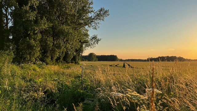
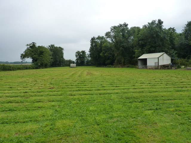
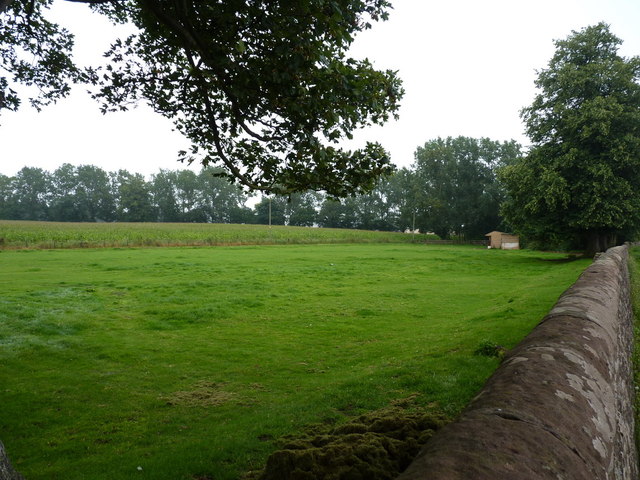
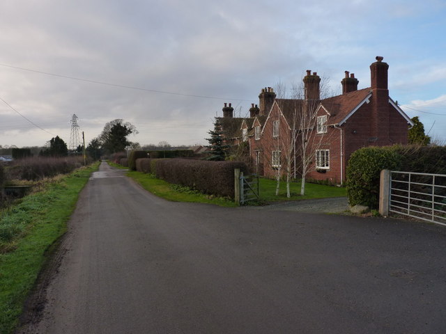
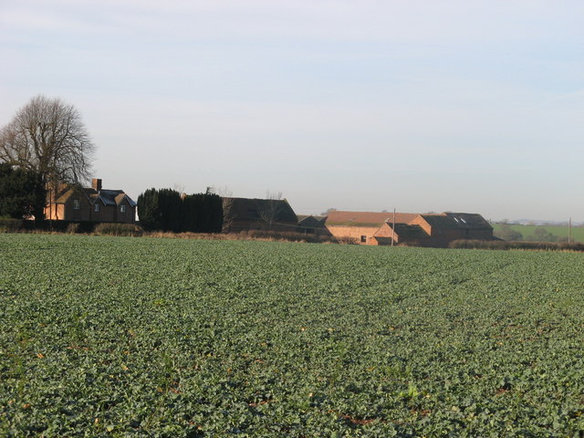
Cheswell Wood is a picturesque forest located in Shropshire, England. Covering an area of approximately 200 acres, it is a popular destination for nature lovers and outdoor enthusiasts alike. The wood is situated on the eastern outskirts of the village of Wood, and it offers a peaceful and tranquil escape from the hustle and bustle of everyday life.

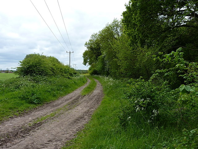
The forest boasts a diverse range of flora and fauna, making it a haven for wildlife enthusiasts. Visitors can expect to see a variety of native trees, including oak, birch, and beech, which provide a stunning display of colors during the autumn months. The woodland floor is carpeted with bluebells in the spring, creating a breathtaking sight.

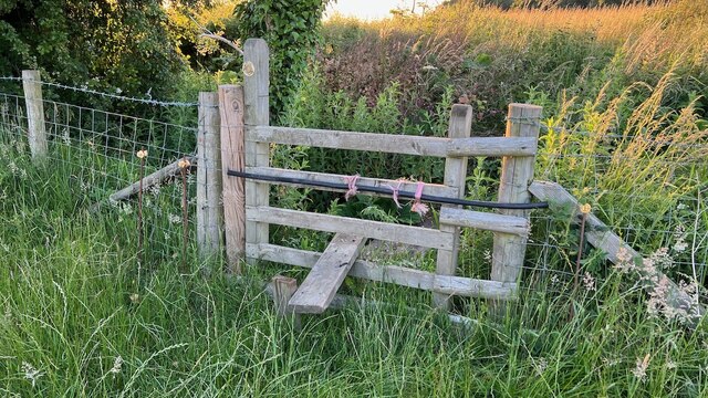
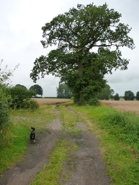
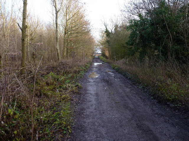
Cheswell Wood is home to numerous walking trails, which allow visitors to explore its natural beauty at their own pace. These paths wind through the forest, leading to enchanting hidden spots and offering breathtaking views of the surrounding countryside. The wood also features a picnic area, where visitors can relax and enjoy a meal amidst the serene surroundings.

In addition to its natural beauty, Cheswell Wood also has a rich historical significance. It is believed that the wood was once part of a vast medieval hunting ground, and remnants of ancient ridge and furrow farming can still be seen in some areas. The wood is also home to the remains of a Roman villa, providing a fascinating glimpse into the area's past.

Overall, Cheswell Wood is a delightful destination for those seeking a peaceful retreat in the heart of nature. Whether it's a leisurely stroll, a picnic with loved ones, or an exploration of its historical sites, this enchanting forest offers something for everyone.

If you have any feedback on the listing, please let us know in the comments section below.

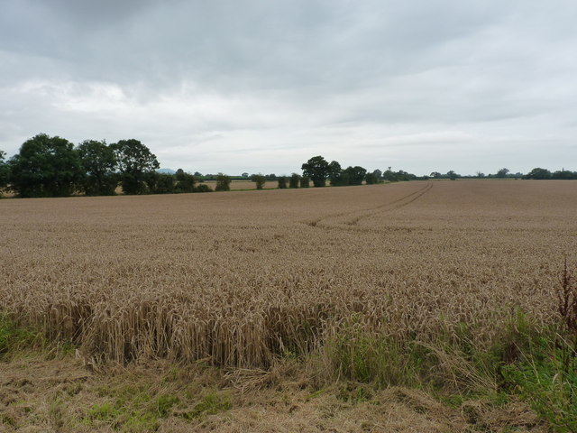
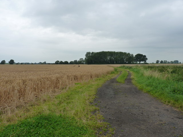
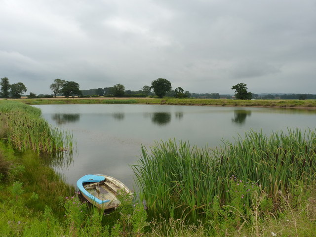
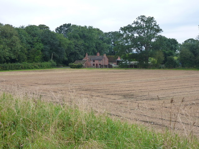
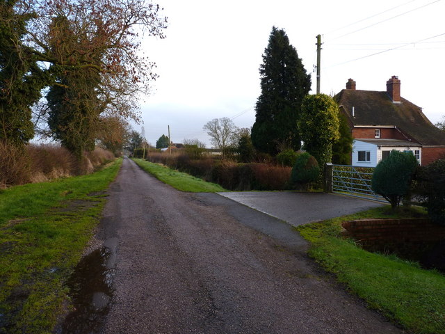
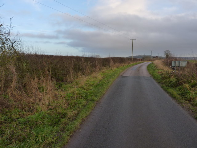
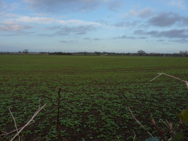
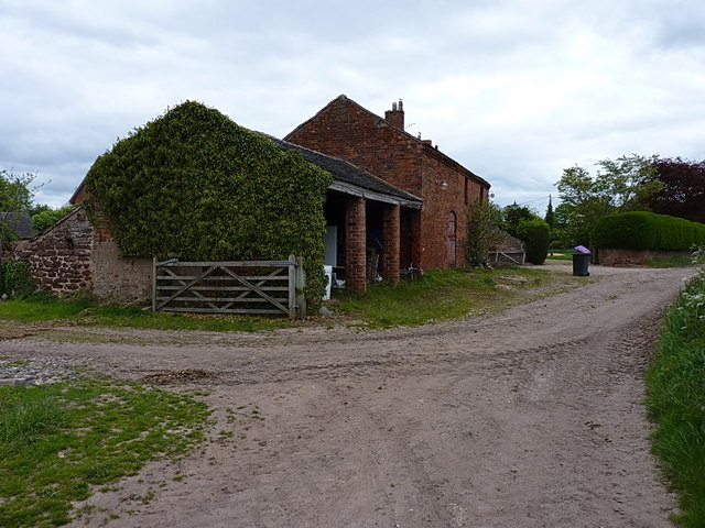
Cheswell Wood Images

Images are sourced within 2km of 52.752715/-2.4344046 or Grid Reference SJ7017. Thanks to Geograph Open Source API. All images are credited.

Cornfield viewed from Hincks Brook Just over the footbridge on the north side of Hincks Brook, due north of Hincks Farm, looking towards Osierbed Covert.
Cornfield viewed from Hincks Brook
Just over the footbridge on the north side of Hincks Brook, due north of Hincks Farm, looking towards Osierbed Covert.
Stile and footbridge across Hincks Brook The public right of way goes over the stile and crosses Hincks Brook via a footbridge consisting of two planks of wood. Behind are the fields beyond.
Stile and footbridge across Hincks Brook
The public right of way goes over the stile and crosses Hincks Brook via a footbridge consisting of two planks of wood. Behind are the fields beyond.
Barnfield cottage outside Edgmond
Track on the Birch Moors The surrounding fields of wheat are ready for harvest.
Track on the Birch Moors
The surrounding fields of wheat are ready for harvest.
Wheat on the Birch Moors Large fields of wheat dominate this area.
Wheat on the Birch Moors
Large fields of wheat dominate this area.
Fields and farm track on the Birch Moors
Irrigation pool near Adeney A large pool, standing above the general level of the surrounding fields in its built embankment.
Irrigation pool near Adeney
A large pool, standing above the general level of the surrounding fields in its built embankment.
Brickkiln Cottages from the NE A view of the cottages from the edge of the nearby irrigation pool.
Brickkiln Cottages from the NE
A view of the cottages from the edge of the nearby irrigation pool.
Field barn and hayfield near Adeney
Roadside wall and field near Red Gables cottage
Bridleway and track through Hincks Plantation The maps describe the whole area as Hincks Plantation, but signs on a couple of gates on the north side of the track suggest that the western part of it is known locally as Adeney Wood, and this eastern part is Tibberton Wood.
Bridleway and track through Hincks Plantation
The maps describe the whole area as Hincks Plantation, but signs on a couple of gates on the north side of the track suggest that the western part of it is known locally as Adeney Wood, and this eastern part is Tibberton Wood.
Wrekin View A pair of semi-detached cottages on Kynnersley Drive, with a distant rural aspect to The Wrekin.
Wrekin View
A pair of semi-detached cottages on Kynnersley Drive, with a distant rural aspect to The Wrekin.
Kynnersley Drive beside Woodside Farm Kynnersley Drive connects Lilleshall to the east with (perhaps unsurprisingly) Kynnersley a couple of miles to the west, crossing the rather marshy Weald Moors on the way. This end of the track is surfaced, but it gives over to an unmade bridleway further west.
Kynnersley Drive beside Woodside Farm
Kynnersley Drive connects Lilleshall to the east with (perhaps unsurprisingly) Kynnersley a couple of miles to the west, crossing the rather marshy Weald Moors on the way. This end of the track is surfaced, but it gives over to an unmade bridleway further west.
Kynnersley Drive near Cheswell Grange Flat agricultural land surrounds this area; the view is towards the Sutherland Monument on Lilleshall Hill <a href="https://www.geograph.org.uk/photo/1785574">SJ7215 : Lilleshall Monument</a>
Kynnersley Drive near Cheswell Grange
Flat agricultural land surrounds this area; the view is towards the Sutherland Monument on Lilleshall Hill SJ7215 : Lilleshall Monument
Next year's crop It's not easy to work out quite what's growing in this field yet, but this is a very similar view to <a href="https://www.geograph.org.uk/photo/418106">SJ7116 : Cheswell.</a>, without the zoom towards the buildings of Cheswell Grange.
Next year's crop
It's not easy to work out quite what's growing in this field yet, but this is a very similar view to SJ7116 : Cheswell., without the zoom towards the buildings of Cheswell Grange.
Really rather muddy No footpath across here (fortunately) but the recent winter rains have left the fields rather waterlogged.
Really rather muddy
No footpath across here (fortunately) but the recent winter rains have left the fields rather waterlogged.
Barns at Cheswell Manor farm Victorian (?) era barns on the trackside at Cheswell
Barns at Cheswell Manor farm
Victorian (?) era barns on the trackside at Cheswell
Field access track beside Cheswell Wood Not strictly on a public right of way, but it's clearly used for tractor access to fields and a small barn to the west of the woodland, so I didn't feel too out of place riding a bike down here.
Field access track beside Cheswell Wood
Not strictly on a public right of way, but it's clearly used for tractor access to fields and a small barn to the west of the woodland, so I didn't feel too out of place riding a bike down here.
Show me another place!

Cheswell Wood is located at Grid Ref: SJ7017 (Lat: 52.752715, Lng: -2.4344046)

Unitary Authority: Telford and Wrekin

Police Authority: West Mercia

What 3 Words

///issuer.occur.pacifist. Near Edgmond, Shropshire

Related Wikis

Cheswell, Shropshire

Cheswell is a hamlet in Shropshire, England on the edge of the Weald Moors. The settlement is overlooked by a rocky, sandstone edge called Cheswell Hill...

Adeney

Adeney is a hamlet in the English county of Shropshire, in the civil parish of Edgmond. Its name was formerly also spelt Adney, and derives from an Old...

Longford, Telford and Wrekin

Longford is a village and former civil parish, now in the parish of Church Aston, in the Telford and Wrekin district, in the ceremonial county of Shropshire...

Talbot Chapel, Longford

Talbot Chapel is the remaining part of a redundant Anglican church in the village of Longford, Shropshire, England. It has been designated by English...

Nearby Amenities

Located within 500m of 52.752715,-2.4344046
Power: pole
Lat/Long: 52.7556751/-2.4288932
Power: pole
Lat/Long: 52.7549089/-2.42973
Power: pole
Lat/Long: 52.7541556/-2.4305508
Power: pole
Lat/Long: 52.7534251/-2.4313661
Power: pole
Lat/Long: 52.7527498/-2.4323934
Power: pole
Lat/Long: 52.7520858/-2.4334395
Power: pole
Lat/Long: 52.7514543/-2.4345017
Power: pole
Lat/Long: 52.7502561/-2.4341637
Power: pole
Lat/Long: 52.7493908/-2.4342468
Power: pole
Lat/Long: 52.7485222/-2.4343407
The data included in this document is from www.openstreetmap.org. The data is made available under ODbL.

Have you been to Cheswell Wood?

Leave your review of Cheswell Wood below (or comments, questions and feedback).