Wrockwardine Wood
Wood, Forest in Shropshire
England
Wrockwardine Wood
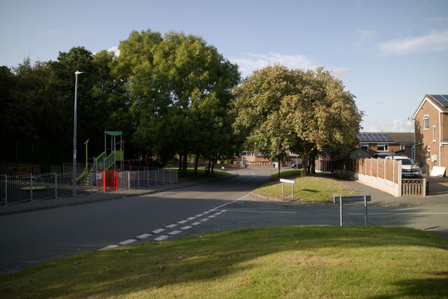
Wrockwardine Wood is a small village located in Shropshire, England. It is situated approximately 4 miles east of Telford town center. The village is part of the larger Wrockwardine parish and is surrounded by beautiful countryside and woodland areas, giving it a peaceful and rural atmosphere.
The village is known for its rich history, with archaeological evidence suggesting that it has been inhabited since Roman times. Wrockwardine Wood was primarily an agricultural community, with farming being the main source of livelihood for its residents. However, over the years, the village has developed into a residential area with a mix of modern housing and traditional cottages.
One of the notable features of Wrockwardine Wood is the presence of Wrockwardine Wood Junior School, which provides education for children aged 4-11. The school has a good reputation and serves as an important hub for the local community.
Wrockwardine Wood is well-connected to other parts of Shropshire through a network of roads and public transportation. The nearby town of Telford offers a wide range of amenities, including shopping centers, restaurants, and leisure facilities, which are easily accessible from the village.
The surrounding woodlands provide ample opportunities for outdoor activities such as walking, cycling, and exploring nature. The area is also home to various species of wildlife, making it a popular destination for nature enthusiasts.
Overall, Wrockwardine Wood offers a tranquil and picturesque setting for those seeking a peaceful village lifestyle while still having access to modern amenities and nearby towns.
If you have any feedback on the listing, please let us know in the comments section below.
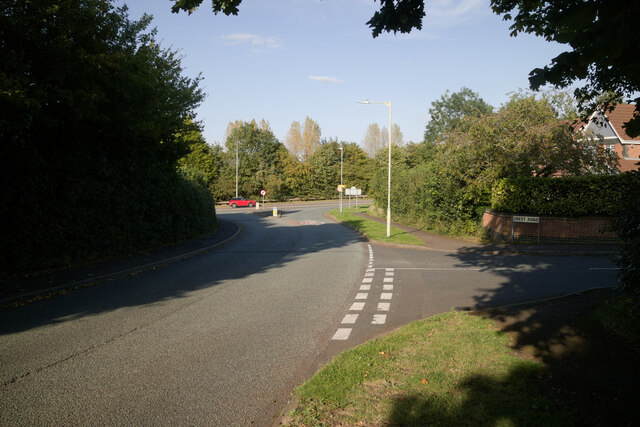
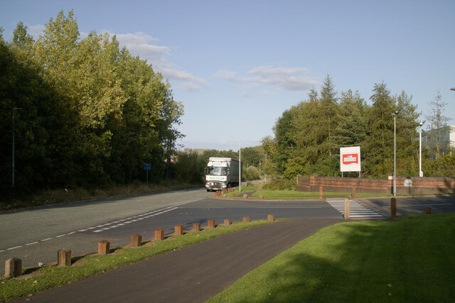
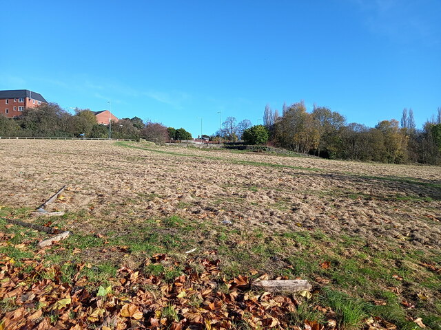
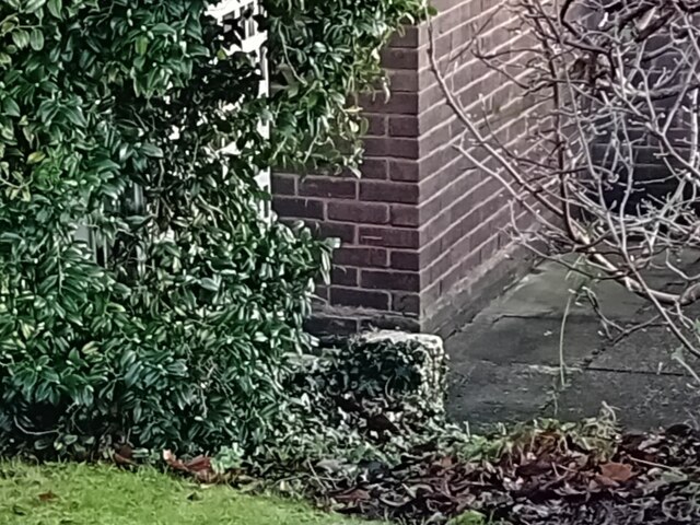
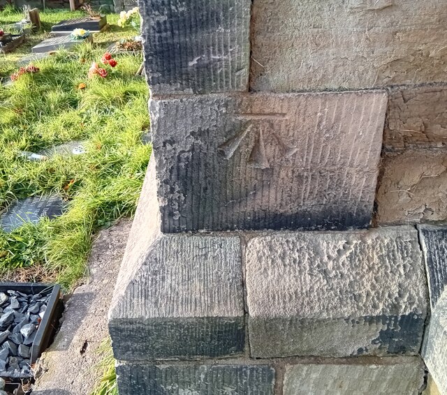
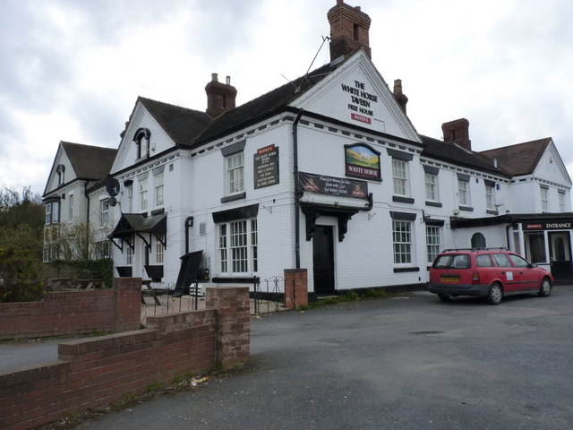
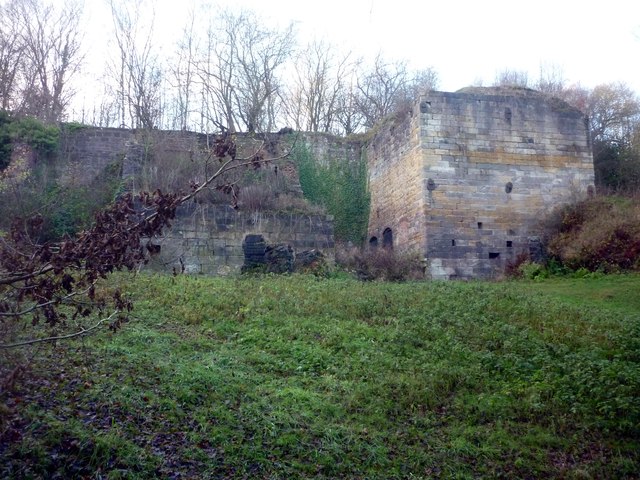
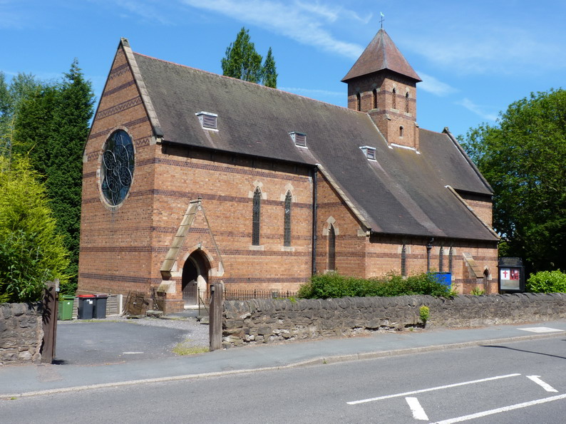
Wrockwardine Wood Images
Images are sourced within 2km of 52.700438/-2.4471296 or Grid Reference SJ6911. Thanks to Geograph Open Source API. All images are credited.


Wrockwardine Wood is located at Grid Ref: SJ6911 (Lat: 52.700438, Lng: -2.4471296)
Unitary Authority: Telford and Wrekin
Police Authority: West Mercia
What 3 Words
///misted.seagulls.partners. Near Oakengates, Shropshire
Nearby Locations
Related Wikis

Wrockwardine Wood
Wrockwardine Wood (pronounced "Rock-war-dine") was originally a detached piece of woodland, then a township, formerly belonging to the manor and parish...

Telford Priory School
Telford Priory School is a coeducational secondary school located in the Wrockwardine Wood area of Telford in Shropshire, England. The school opened in...
Oakengates Market Street railway station
Oakengates Market Street railway station was a station in Oakengates, Shropshire, England. The station was opened in 1860 and closed in 1952. The station...
Oakengates
Oakengates is a constituent town of Telford and a civil parish in the borough of Telford and Wrekin, Shropshire, England. The towns parish population was...
Wombridge Priory
Wombridge Priory was a small Augustinian monastery in Shropshire. Established in the early 12th century, it was supported by a network of minor nobility...

Oakengates railway station
Oakengates railway station serves the town of Oakengates, Telford and Wrekin, Shropshire, England. It has two platforms. Rail services are primarily provided...
Wellington Amateurs F.C.
Wellington Amateurs Football Club is an English football club from Wellington, Shropshire but currently located in Telford. The club plays in the West...
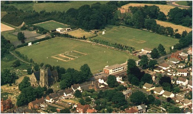
St George's Cricket Ground
St George's Cricket Ground is a cricket ground in Telford, Shropshire. The first recorded match on the ground was in 1957, when Shropshire played the...
Nearby Amenities
Located within 500m of 52.700438,-2.4471296Have you been to Wrockwardine Wood?
Leave your review of Wrockwardine Wood below (or comments, questions and feedback).