Ash Coppice

Wood, Forest in Shropshire

England

Ash Coppice

B4363 at Deuxhill
B4363 at Deuxhill Credit: Rob Purvis

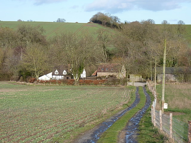
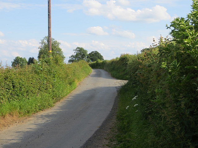
Ash Coppice is a woodland area located in the county of Shropshire, England. Situated on the outskirts of the village of Coppice, this forested region covers an area of approximately 100 hectares. The dominant tree species in Ash Coppice is the ash tree (Fraxinus excelsior), which gives the woodland its name.

The forest is characterized by its dense and mature canopy, creating a shaded and cool environment. The tall and straight trunks of the ash trees create a towering presence, with their branches reaching high into the sky. This creates a unique and picturesque landscape, especially during the spring and summer months when the leaves are in full bloom, providing a lush green cover.

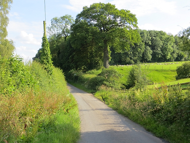
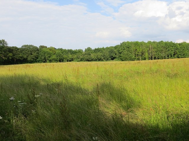
Ash Coppice is home to a diverse range of flora and fauna. The forest floor is carpeted with various wildflowers, including bluebells, primroses, and wood anemones, adding bursts of color to the woodland. The dense vegetation provides a habitat for numerous bird species, such as woodpeckers, thrushes, and owls. Small mammals, such as rabbits, foxes, and badgers, can also be found here.

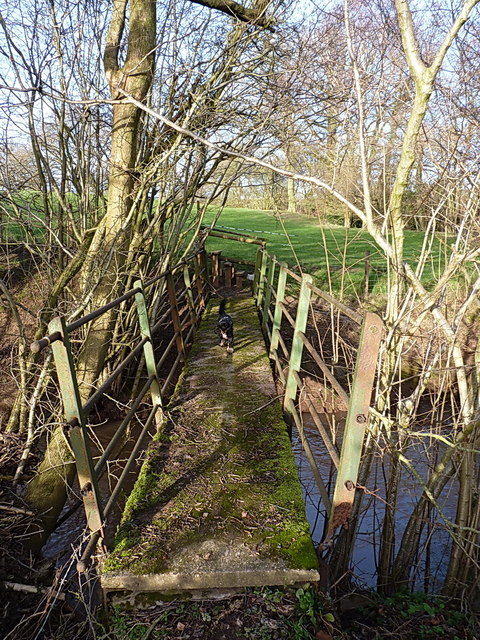
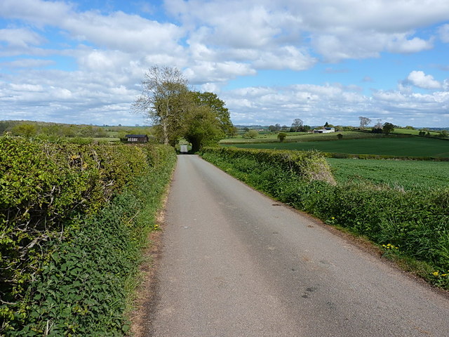
The forest is a popular destination for nature enthusiasts and hikers, offering a tranquil and peaceful setting for outdoor activities. Several walking trails wind through the woodland, allowing visitors to explore its beauty and discover its hidden treasures. Ash Coppice provides an escape from the hustle and bustle of everyday life, offering a serene and natural environment for all to enjoy.

If you have any feedback on the listing, please let us know in the comments section below.
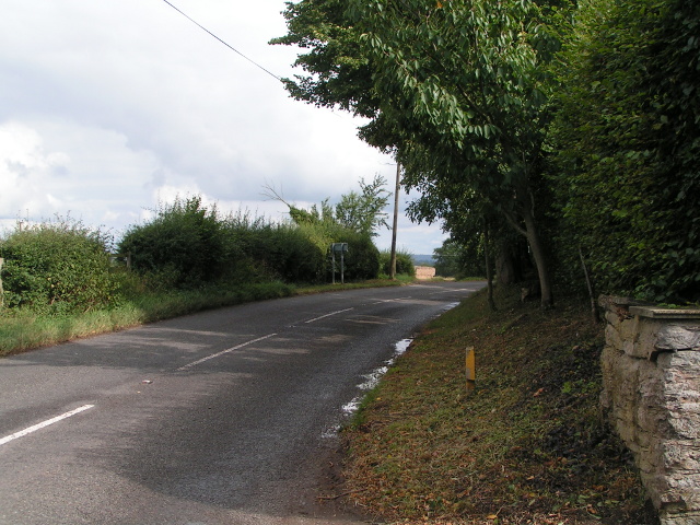
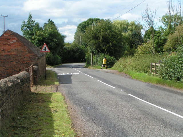
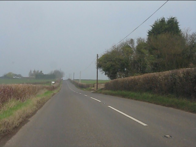
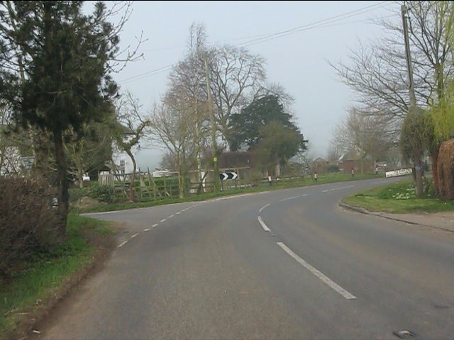
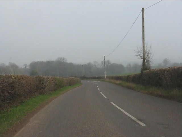
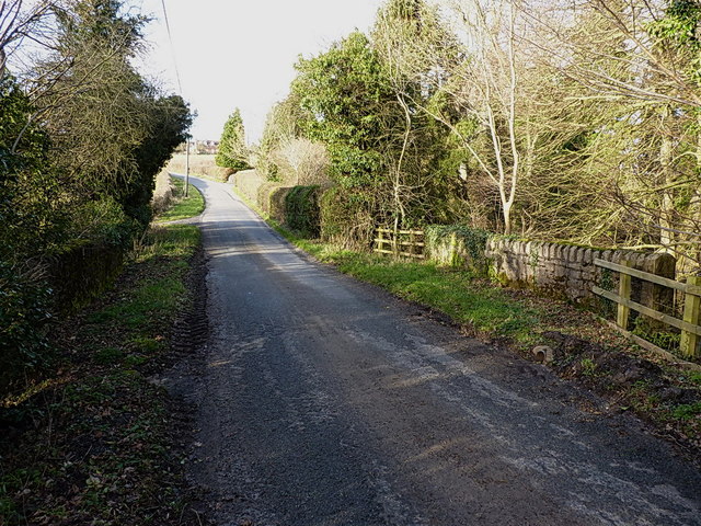
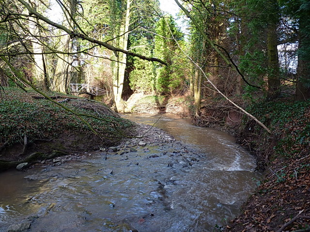
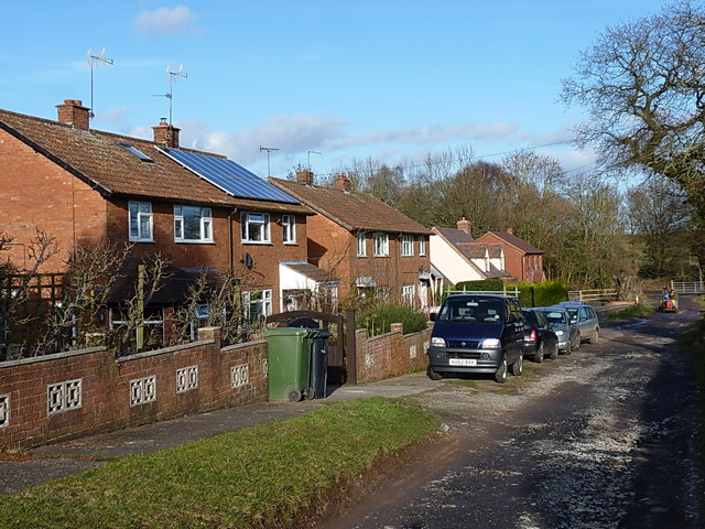
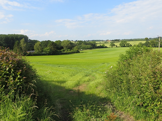
Ash Coppice Images

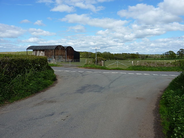
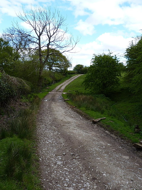
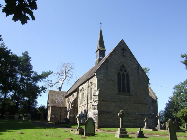
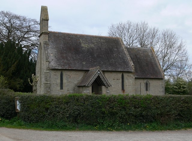
Images are sourced within 2km of 52.496771/-2.4451184 or Grid Reference SO6988. Thanks to Geograph Open Source API. All images are credited.

B4363 at Deuxhill
B4363 at Deuxhill
B4363 at Deuxhill, heading north
B4363 approaching Deuxhill village hall
Deuxhill lane junction
B4363 north of Deuxhill
Down Mill bridge on Milfields Way The bridge carries the lane from The Down to Eudon George across the Borle Brook. There is (or more likely was) an OS benchmark on the end of the sunlit parapet wall nearest to the camera, but it's either obscured by ivy/the fence, or the wall has been rebuilt since the mark was originally cut.
Down Mill bridge on Milfields Way
The bridge carries the lane from The Down to Eudon George across the Borle Brook. There is (or more likely was) an OS benchmark on the end of the sunlit parapet wall nearest to the camera, but it's either obscured by ivy/the fence, or the wall has been rebuilt since the mark was originally cut.
The Borle Brook The stream rises in the area of Meadowley and Upton Cressett to the northwest of here, then heads south and east beyond Billingsley to join the Severn just south of Highley, where the rather magnificent <a href="https://www.geograph.org.uk/photo/1544670">SO7581 : Iron bridge over Borle Brook</a> is found.
The Borle Brook
The stream rises in the area of Meadowley and Upton Cressett to the northwest of here, then heads south and east beyond Billingsley to join the Severn just south of Highley, where the rather magnificent SO7581 : Iron bridge over Borle Brook is found.
Semis beside the track to Eudon Mill A row of houses beside the track and footpath. The furthest one is a new build.
Semis beside the track to Eudon Mill
A row of houses beside the track and footpath. The furthest one is a new build.
Eudon Mill buildings The scattered buildings of the settlement at Eudon Mill, a former water-powered corn mill dating back 500 years or more. Supplementing, or replacing, the original 16th century mill in the main house, a tower mill was built in the 18th, but was demolished in the 1950s, some 20 years after its closure.
Eudon Mill buildings
The scattered buildings of the settlement at Eudon Mill, a former water-powered corn mill dating back 500 years or more. Supplementing, or replacing, the original 16th century mill in the main house, a tower mill was built in the 18th, but was demolished in the 1950s, some 20 years after its closure.
Footbridge over the Borle Brook A small bridge carrying a path through damp fields across the Borle. Daft Dog enjoyed the scent of pheasants around this way.
Footbridge over the Borle Brook
A small bridge carrying a path through damp fields across the Borle. Daft Dog enjoyed the scent of pheasants around this way.
Eudon Looking towards Lower Eudon Coppice.
Eudon
Looking towards Lower Eudon Coppice.
Barley, Glazeley Off a road south Eudon.
Barley, Glazeley
Off a road south Eudon.
Road junction, Tedstill
Farm road, Tedstill Heading for Hillhead and a steep plunge off the plateau.
Farm road, Tedstill
Heading for Hillhead and a steep plunge off the plateau.
Long grass, Eudon Awaiting cutting, probably for silage.
Long grass, Eudon
Awaiting cutting, probably for silage.
Approaching the Deuxhill lane On the way down to the Deuxhill to Eudon George lane junction, after leaving Middleton Scriven.
Approaching the Deuxhill lane
On the way down to the Deuxhill to Eudon George lane junction, after leaving Middleton Scriven.
Dutch barns by the road junction
Bridleway at Eudon George Shared with access to a house just east of the village, this bridleway leads down to Glazeley on the B4363 Cleobury Mortimer road out of Bridgnorth.
Bridleway at Eudon George
Shared with access to a house just east of the village, this bridleway leads down to Glazeley on the B4363 Cleobury Mortimer road out of Bridgnorth.
Show me another place!

Ash Coppice is located at Grid Ref: SO6988 (Lat: 52.496771, Lng: -2.4451184)

Unitary Authority: Shropshire

Police Authority: West Mercia

What 3 Words

///preheated.meatball.emulating. Near Bridgnorth, Shropshire

Nearby Locations

Ash Coppice

Related Wikis

Glazeley

Glazeley is a hamlet and civil parish in Shropshire, England. It is situated on the B4363 road, southwest of Bridgnorth. There is a parish church in the...

Deuxhill

Deuxhill () is a hamlet and very small civil parish in Shropshire, England. The nearest town is Bridgnorth. The hamlet is situated on the B4363 road, north...

Middleton Scriven

Middleton Scriven is a village and civil parish 20 miles (32 km) south east of Shrewsbury, in the Shropshire district, in the county of Shropshire, England...

Chelmarsh

Chelmarsh is a village and civil parish in the English county of Shropshire. It lies 4 miles south of Bridgnorth on the B4555 road to Highley. == Notable... ==

St Peter's Church, Chelmarsh

St Peter's Church is in the village of Chelmarsh, Shropshire, England. It is an active Anglican parish church in the deanery of Bridgnorth, the archdeaconry...

Astbury Hall

Astbury Hall is a stately home, with a 320-acre estate, at Chelmarsh, near Bridgnorth, in Shropshire, England. The building was destroyed by fire in 1889...

Eardington

Eardington is a small village and civil parish in Shropshire, England. It is near the A442 road and is two kilometres south of the town of Bridgnorth,...

Eardington Halt railway station

Eardington Halt, originally named Eardington, is a railway station on the Severn Valley Railway near Eardington, south of Bridgnorth, in Shropshire....

Nearby Amenities

Located within 500m of 52.496771,-2.4451184
Generator Method: photovoltaic
Generator Output Electricity: yes
Generator Source: solar
Generator Type: solar_photovoltaic_panel
Location: roof
Power: generator
Lat/Long: 52.5009994/-2.4440128
Generator Method: photovoltaic
Generator Output Electricity: yes
Generator Source: solar
Generator Type: solar_photovoltaic_panel
Location: roof
Power: generator
Lat/Long: 52.4982627/-2.4429023
Generator Method: photovoltaic
Generator Output Electricity: yes
Generator Source: solar
Generator Type: solar_photovoltaic_panel
Location: roof
Power: generator
Lat/Long: 52.4956402/-2.4400914
The data included in this document is from www.openstreetmap.org. The data is made available under ODbL.

Have you been to Ash Coppice?

Leave your review of Ash Coppice below (or comments, questions and feedback).