Arden
Settlement in Renfrewshire
Scotland
Arden
Arden is a small village located in Renfrewshire, Scotland. Situated approximately 10 miles southwest of Glasgow, Arden offers residents a peaceful and picturesque setting amidst the stunning Scottish countryside. The village is nestled between the River Clyde and the Kilpatrick Hills, providing breathtaking views and ample opportunities for outdoor activities.
Arden is known for its close-knit community and friendly atmosphere. The village features a range of amenities, including a primary school, a community hall, and a local shop, catering to the needs of its residents. The nearby town of Dumbarton offers additional shopping, dining, and entertainment options.
Nature enthusiasts will find plenty to explore in Arden and its surroundings. The Kilpatrick Hills provide numerous walking and hiking trails, allowing visitors to marvel at the diverse flora and fauna. The village's proximity to Loch Lomond and The Trossachs National Park offers even more possibilities for outdoor adventures, with opportunities for boating, fishing, and camping.
Transportation in Arden is convenient, with regular bus services connecting the village to nearby towns and cities. The M8 motorway is easily accessible, providing a direct link to Glasgow and other major Scottish cities.
Overall, Arden presents an idyllic setting for those seeking a tranquil lifestyle away from the hustle and bustle of city living. Its natural beauty, community spirit, and convenient location make it an appealing place to call home.
If you have any feedback on the listing, please let us know in the comments section below.
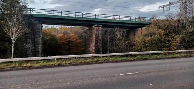
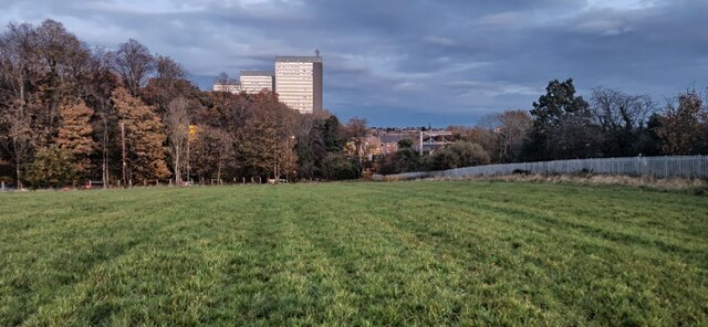
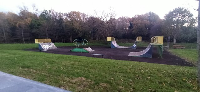
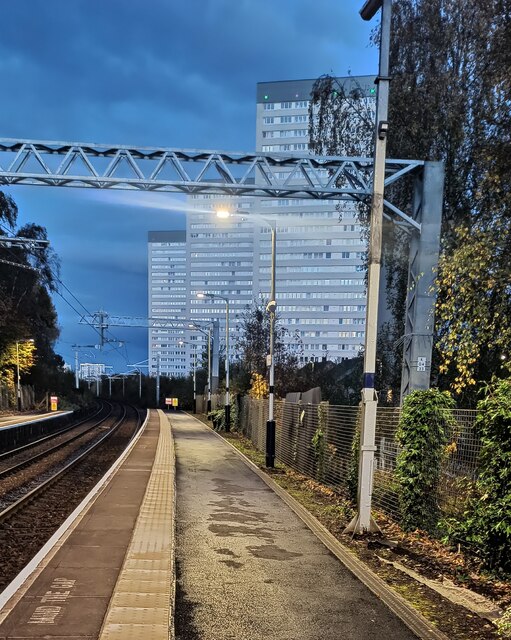
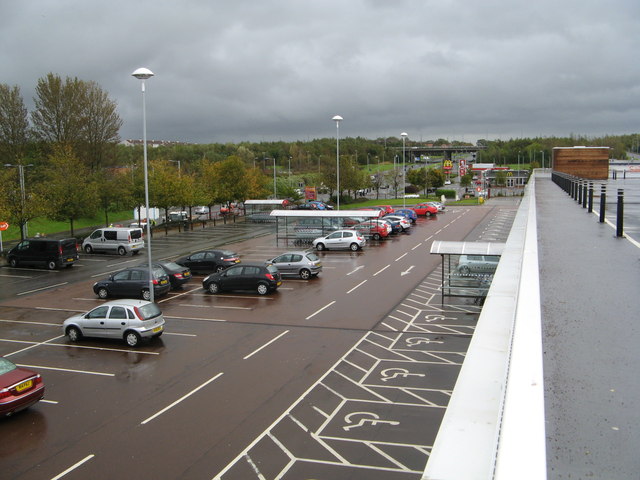
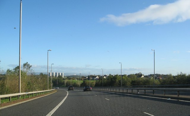
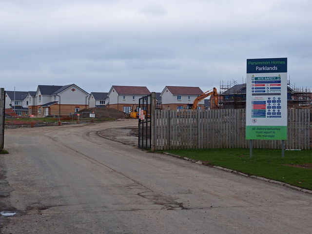
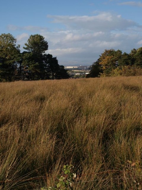
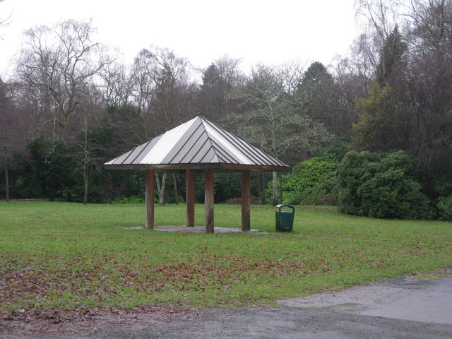
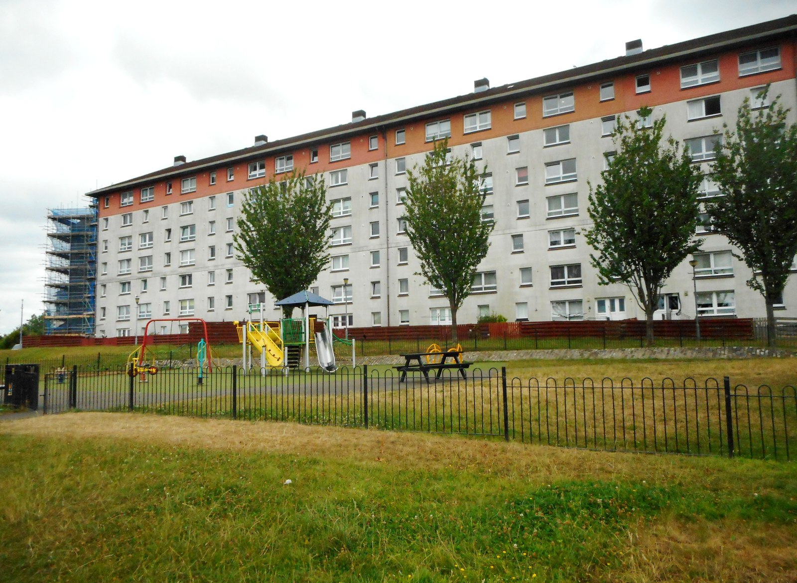
Arden Images
Images are sourced within 2km of 55.807261/-4.3302313 or Grid Reference NS5459. Thanks to Geograph Open Source API. All images are credited.

Arden is located at Grid Ref: NS5459 (Lat: 55.807261, Lng: -4.3302313)
Unitary Authority: City of Glasgow
Police Authority: Greater Glasgow
What 3 Words
///alarm.things.submit. Near Thornliebank, East Renfrewshire
Nearby Locations
Related Wikis

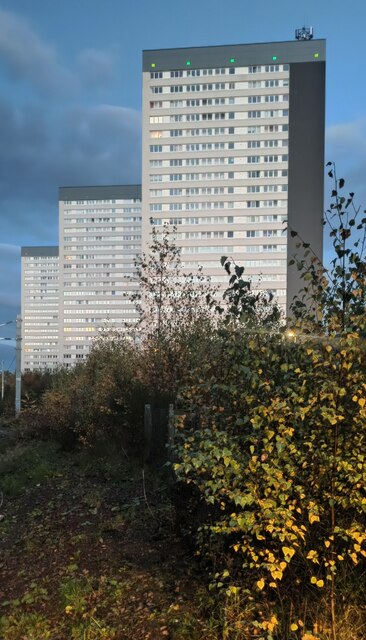
Arden, Glasgow
Arden is a medium-sized housing estate on the south-western edge of the city of Glasgow, Scotland. The M77 motorway runs directly to the west of the neighbourhood...

Carnwadric
Carnwadric is a residential area of Glasgow, Scotland. It is situated south of the River Clyde, and is bordered by a park to the north (King George V Park...
Darnley
Darnley is an area in south-west Glasgow, Scotland, on the A727 just west of Arden (the areas are separated by the M77 motorway although a footbridge connects...

Jenny Lind, Glasgow
Jenny Lind is a small neighbourhood in the Scottish city of Glasgow. It is situated south of the River Clyde, contiguous with the larger Deaconsbank neighbourhood...

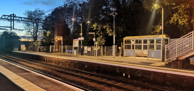
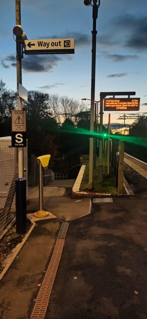
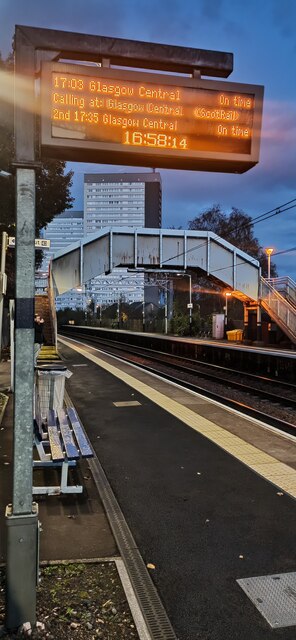
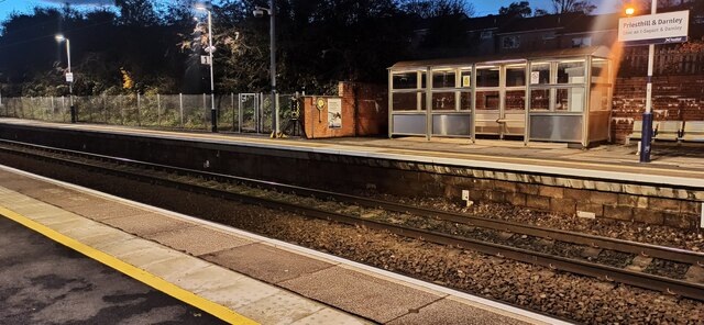
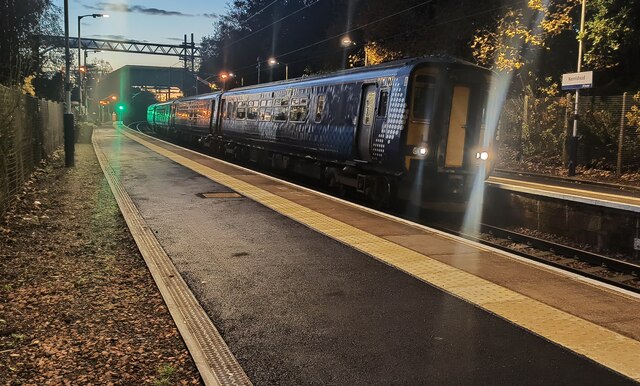
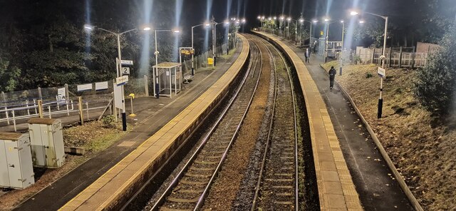
Kennishead railway station
Kennishead railway station is a railway station in Kennishead, a district of Glasgow, Scotland. The station is managed by ScotRail and is on the Glasgow...

Kennishead
Kennishead (Scots: Kennisheid, Scottish Gaelic: Ceann Ceanais) is a neighbourhood in the Scottish city of Glasgow. Its territory, south of the River Clyde...

Thornliebank
Thornliebank (Scots: Thonliebank, Scottish Gaelic: Bruach nan Dealgan) is a suburban area in East Renfrewshire, in the west central Lowlands of Scotland...
Spiersbridge railway station
Spiersbridge railway station, also known as Speirsbridge railway station, co-served the neighbourhood of Jenny Lind, historically in Lanarkshire, Scotland...
Nearby Amenities
Located within 500m of 55.807261,-4.3302313Have you been to Arden?
Leave your review of Arden below (or comments, questions and feedback).