Carnwadric
Settlement in Renfrewshire
Scotland
Carnwadric

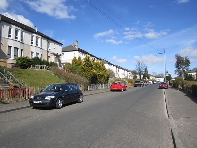
Carnwadric is a small residential area located in Renfrewshire, Scotland. Situated approximately 7 miles south of Glasgow city center, it falls within the Greater Glasgow metropolitan area. The area is primarily composed of residential housing, providing a peaceful and suburban atmosphere for its residents.
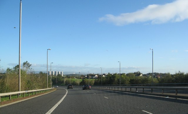
Carnwadric is well-connected to the surrounding areas through a network of roads and public transportation. It has easy access to major transportation routes such as the M77 motorway, allowing for convenient travel to Glasgow and other parts of the country. The area is served by several bus routes, providing reliable transportation links to nearby towns and cities.
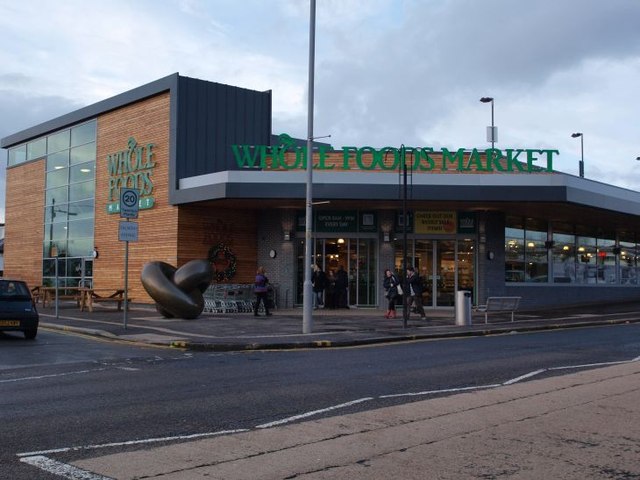
Although Carnwadric is predominantly residential, there are a few local amenities within the area. These include a small shopping center, which features a variety of shops, cafes, and amenities for everyday needs. Additionally, there are several schools in the vicinity, catering to the educational needs of the local population.
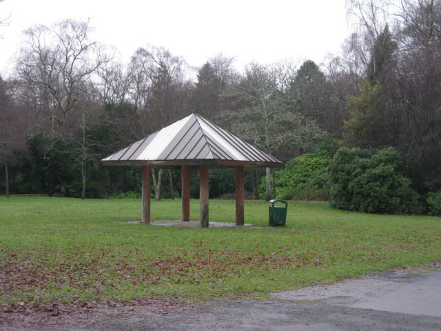
The neighboring areas of Carnwadric offer a range of recreational opportunities. Pollok Country Park, one of Glasgow's largest parks, is situated nearby and provides extensive green spaces, walking trails, and picturesque gardens. The park also houses the Burrell Collection, an internationally renowned art collection.
Overall, Carnwadric offers a tranquil living environment whilst being conveniently located close to major urban centers, providing its residents with the best of both worlds.
If you have any feedback on the listing, please let us know in the comments section below.
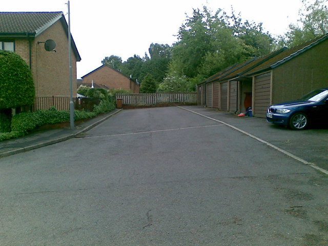
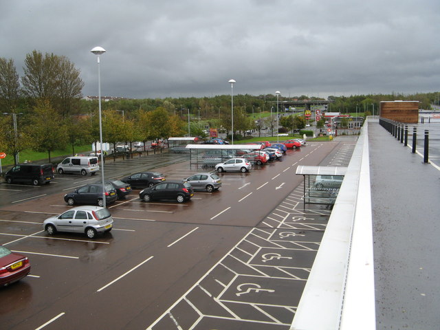
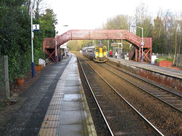
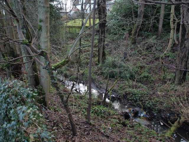
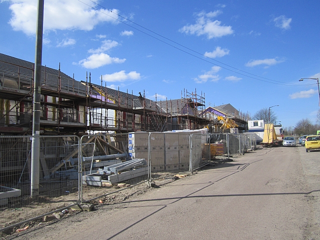
Carnwadric Images
Images are sourced within 2km of 55.810781/-4.3194769 or Grid Reference NS5459. Thanks to Geograph Open Source API. All images are credited.


Carnwadric is located at Grid Ref: NS5459 (Lat: 55.810781, Lng: -4.3194769)
Unitary Authority: City of Glasgow
Police Authority: Greater Glasgow
What 3 Words
///mute.open.moment. Near Thornliebank, East Renfrewshire
Nearby Locations
Related Wikis

Carnwadric
Carnwadric is a residential area of Glasgow, Scotland. It is situated south of the River Clyde, and is bordered by a park to the north (King George V Park...

Kennishead
Kennishead (Scots: Kennisheid, Scottish Gaelic: Ceann Ceanais) is a neighbourhood in the Scottish city of Glasgow. Its territory, south of the River Clyde...

Kennishead railway station
Kennishead railway station is a railway station in Kennishead, a district of Glasgow, Scotland. The station is managed by ScotRail and is on the Glasgow...
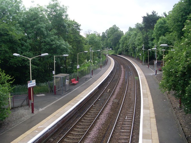
Thornliebank railway station
Thornliebank railway station is a railway station in the village of Thornliebank, East Renfrewshire, Greater Glasgow, Scotland. The station is managed...

Thornliebank
Thornliebank (Scots: Thonliebank, Scottish Gaelic: Bruach nan Dealgan) is a suburban area in East Renfrewshire, in the west central Lowlands of Scotland...

Hutchesons' GSFP
Hutchesons' GSFP RFC was an amateur rugby union club in Glasgow, Scotland. The club no longer exists. In 1990, they merged with rivals Old Aloysians RFC...
Hutchesons Aloysians
Hutchesons Aloysians RFC was an amateur rugby union club in Glasgow, Scotland. The club no longer exists. In 2002, they merged with Glasgow Southern to...
Arden, Glasgow
Arden is a medium-sized housing estate on the south-western edge of the city of Glasgow, Scotland. The M77 motorway runs directly to the west of the neighbourhood...
Nearby Amenities
Located within 500m of 55.810781,-4.3194769Have you been to Carnwadric?
Leave your review of Carnwadric below (or comments, questions and feedback).