Thornliebank
Settlement in Renfrewshire
Scotland
Thornliebank

Thornliebank is a suburban area located in the Renfrewshire region of Scotland. Situated approximately 8 miles southwest of Glasgow city center, Thornliebank is a residential neighborhood that offers a peaceful and close-knit community atmosphere.
The area was historically known for its coal mining industry, with several collieries operating in the vicinity. Today, Thornliebank has transformed into a residential hub with a mix of traditional and modern housing. The properties range from detached houses to flats, catering to a diverse range of residents.
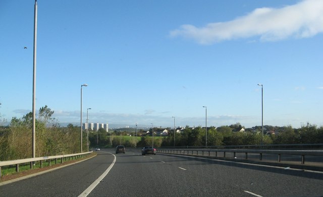
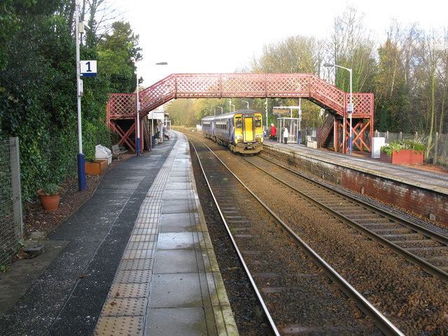
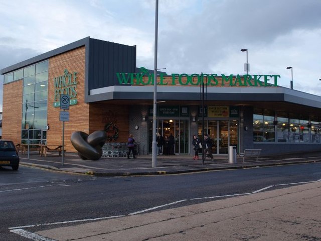
Thornliebank benefits from its proximity to major transportation links, including the M77 motorway and Thornliebank railway station, making it an ideal location for commuters. The nearby Silverburn Shopping Centre provides an extensive range of retail outlets, restaurants, and entertainment facilities, adding to the convenience and quality of life for residents.
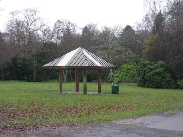
For outdoor enthusiasts, Rouken Glen Park is a popular attraction in Thornliebank. This stunning green space offers beautiful walking trails, a boating pond, an adventure playground, and a variety of wildlife. The park also hosts events and festivals throughout the year, attracting visitors from across the region.
Thornliebank is served by several primary schools and is within close proximity to secondary schools, ensuring that families have access to excellent educational facilities. The neighborhood also benefits from various amenities, including local shops, healthcare services, and recreational facilities.
Overall, Thornliebank offers a peaceful and family-friendly environment with excellent connectivity, making it a desirable place to live within the Renfrewshire region.
If you have any feedback on the listing, please let us know in the comments section below.
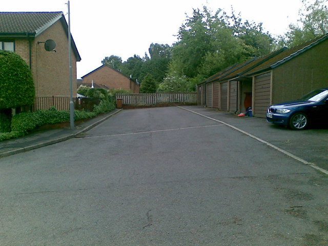
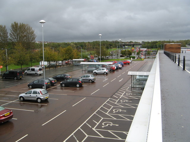
Thornliebank Images
Images are sourced within 2km of 55.805218/-4.3189863 or Grid Reference NS5459. Thanks to Geograph Open Source API. All images are credited.


Thornliebank is located at Grid Ref: NS5459 (Lat: 55.805218, Lng: -4.3189863)
Unitary Authority: East Renfrewshire
Police Authority: Greater Glasgow
What 3 Words
///cares.hotels.woven. Near Thornliebank, East Renfrewshire
Nearby Locations
Related Wikis

Thornliebank
Thornliebank (Scots: Thonliebank, Scottish Gaelic: Bruach nan Dealgan) is a suburban area in East Renfrewshire, in the west central Lowlands of Scotland...

Carnwadric
Carnwadric is a residential area of Glasgow, Scotland. It is situated south of the River Clyde, and is bordered by a park to the north (King George V Park...

Spiersbridge railway station
Spiersbridge railway station, also known as Speirsbridge railway station, co-served the neighbourhood of Jenny Lind, historically in Lanarkshire, Scotland...
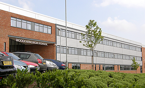
Woodfarm High School
Woodfarm High School is a Scottish comprehensive secondary school in Woodfarm, East Renfrewshire. It has a roll of approximately 800 pupils. Gillian Boyle...

Jenny Lind, Glasgow
Jenny Lind is a small neighbourhood in the Scottish city of Glasgow. It is situated south of the River Clyde, contiguous with the larger Deaconsbank neighbourhood...
Arden, Glasgow
Arden is a medium-sized housing estate on the south-western edge of the city of Glasgow, Scotland. The M77 motorway runs directly to the west of the neighbourhood...
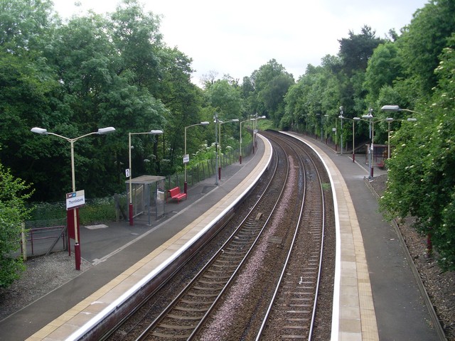
Thornliebank railway station
Thornliebank railway station is a railway station in the village of Thornliebank, East Renfrewshire, Greater Glasgow, Scotland. The station is managed...

Kennishead
Kennishead (Scots: Kennisheid, Scottish Gaelic: Ceann Ceanais) is a neighbourhood in the Scottish city of Glasgow. Its territory, south of the River Clyde...
Nearby Amenities
Located within 500m of 55.805218,-4.3189863Have you been to Thornliebank?
Leave your review of Thornliebank below (or comments, questions and feedback).