Lower Plantation

Wood, Forest in Somerset

England

Lower Plantation

St John the Baptist Church at Peasdown St John.
St John the Baptist Credit: Wayland Smith

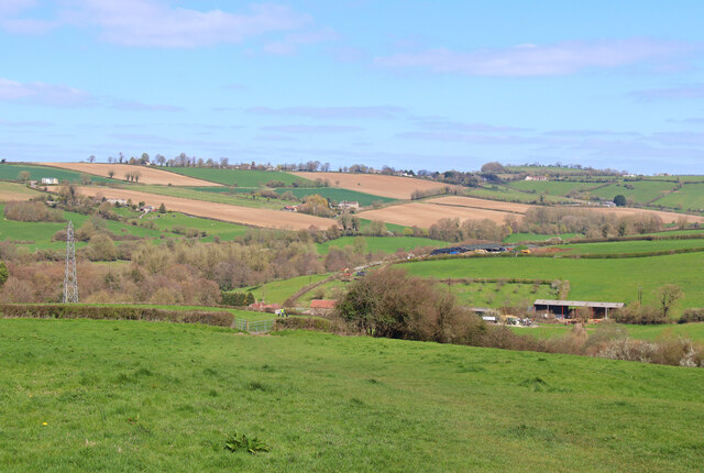
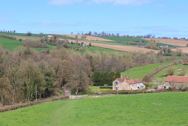
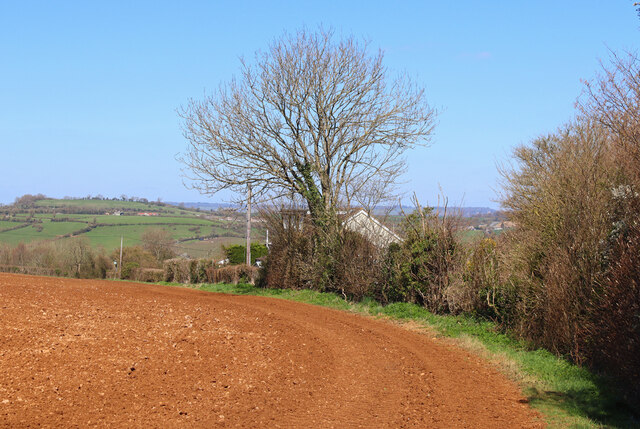
Lower Plantation is a picturesque area located in the county of Somerset, England. Nestled amidst verdant woodlands and dense forests, it is a haven for nature lovers and outdoor enthusiasts. This idyllic region is renowned for its natural beauty and tranquil atmosphere, attracting visitors from far and wide.

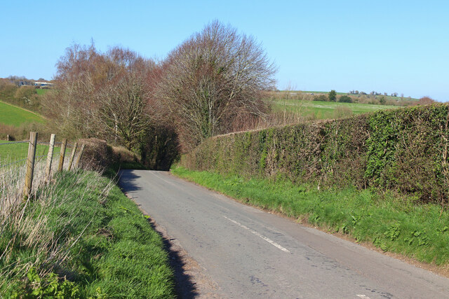
The Wood of Lower Plantation is a sprawling expanse of trees, covering an area of several square kilometers. It is predominantly comprised of native species such as oak, ash, and beech, creating a diverse and thriving ecosystem. The forest is home to an array of wildlife, including deer, foxes, and various species of birds, providing nature enthusiasts with ample opportunities for observing and photographing the local fauna.

Walking trails wind their way through Lower Plantation, offering visitors the chance to immerse themselves in the breathtaking natural surroundings. These paths are well-maintained and suitable for all levels of fitness, making them accessible to people of all ages. Along the trails, visitors can discover hidden ponds, babbling streams, and charming picnic spots, perfect for a leisurely lunch amidst the serenity of nature.

Lower Plantation also boasts a visitor center that provides information about the local flora and fauna, as well as guided tours and educational programs for those interested in learning more about the area. The center serves as a hub for environmental conservation efforts, promoting sustainable practices and raising awareness about the importance of preserving natural habitats.

In conclusion, Lower Plantation in Somerset is a captivating destination for nature lovers and offers a unique opportunity to experience the beauty of woodlands and forests in the heart of England. With its diverse wildlife, scenic walking trails, and educational facilities, it is a must-visit for anyone seeking a peaceful retreat in the midst of nature.

If you have any feedback on the listing, please let us know in the comments section below.

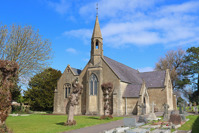
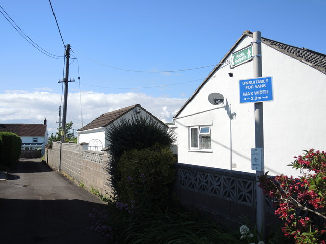
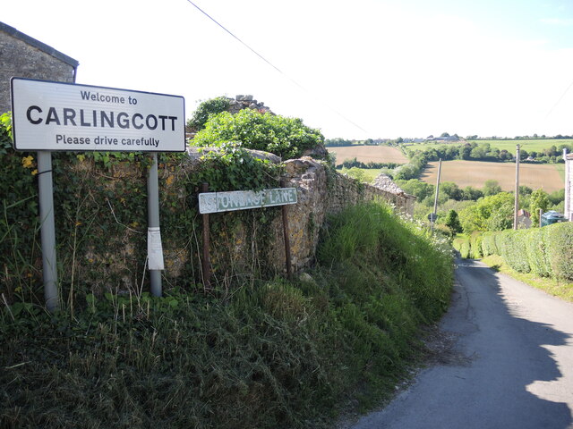
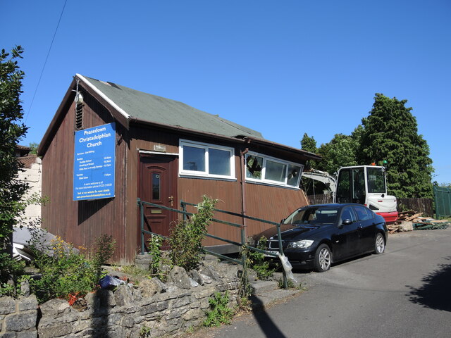
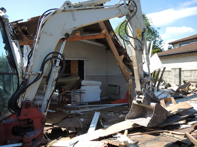
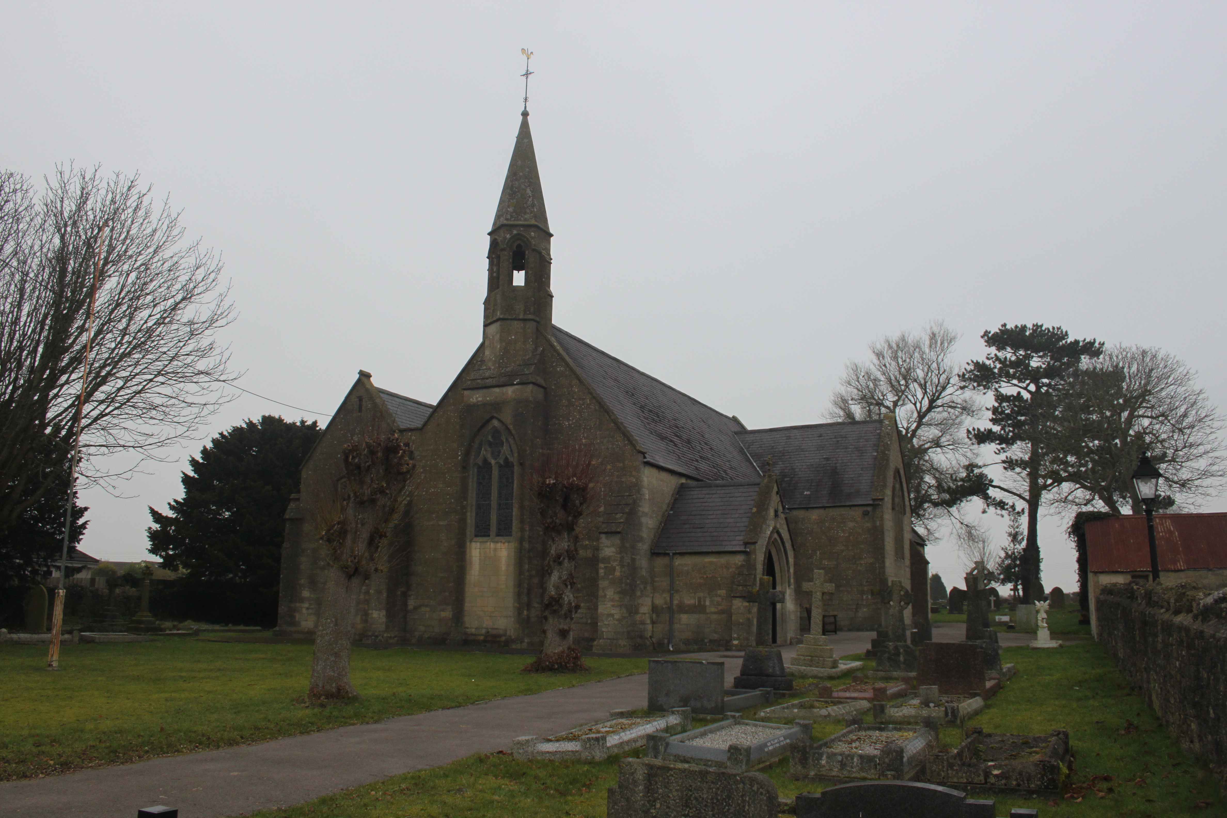
Lower Plantation Images

Images are sourced within 2km of 51.316546/-2.4422478 or Grid Reference ST6957. Thanks to Geograph Open Source API. All images are credited.

St John the Baptist Church at Peasdown St John.
St John the Baptist
Church at Peasdown St John.
Unsuitable for wide users A footpath/road has some conflicts of restriction.
Unsuitable for wide users
A footpath/road has some conflicts of restriction.
It's an old question The chicken was one of several that were roaming free on the quiet roads hereabouts, calmly and serenely exploring for morsels. There was a moment to pose the obvious; he stopped for a short pause but said he had other plots to hatch.
It's an old question
The chicken was one of several that were roaming free on the quiet roads hereabouts, calmly and serenely exploring for morsels. There was a moment to pose the obvious; he stopped for a short pause but said he had other plots to hatch.
Stoneage Lane An unusual name for a lane, but one that is quite old.
Stoneage Lane
An unusual name for a lane, but one that is quite old.
St John's hall Next to the church is a metal-clad hall. It stands where the original church stood in the past.
St John's hall
Next to the church is a metal-clad hall. It stands where the original church stood in the past.
Carlingcott Methodist church The building was founded in 1851, along with a schoolroom, as a United Free Methodist church. They faced some competition not far up the road in the form of a Wesleyan chapel. The Free church later became the Carlingcott Methodist chapel, before closure a few years ago. The church, its attached gates, piers and flanking walls are Grade II listed.
Carlingcott Methodist church
The building was founded in 1851, along with a schoolroom, as a United Free Methodist church. They faced some competition not far up the road in the form of a Wesleyan chapel. The Free church later became the Carlingcott Methodist chapel, before closure a few years ago. The church, its attached gates, piers and flanking walls are Grade II listed.
Difficult to notice Carlingcott Methodist church appears to have been disused for a few years, as the old wooden notice shows.
Difficult to notice
Carlingcott Methodist church appears to have been disused for a few years, as the old wooden notice shows.
Bath Road, Peasedown St John Bath Road bisects Peasedown St John and contains most of its shops and services. On the right are the premises of the former 'Daily Bread' bakery (which did not long survive a bad food hygiene rating in 2018). Beyond it are the Zodiac Hair Studio <span class="nowrap"><a title="http://zodiac-hair-studio.edan.io/" rel="nofollow ugc noopener" href="http://zodiac-hair-studio.edan.io/">Link</a><img style="margin-left:2px;" alt="External link" title="External link - shift click to open in new window" src="https://s1.geograph.org.uk/img/external.png" width="10" height="10"/></span> and the Barber Zone <span class="nowrap"><a title="https://barber-zone-peasedown-st-john.business.site/" rel="nofollow ugc noopener" href="https://barber-zone-peasedown-st-john.business.site/">Link</a><img style="margin-left:2px;" alt="External link" title="External link - shift click to open in new window" src="https://s1.geograph.org.uk/img/external.png" width="10" height="10"/></span> ; the latter replacing a coffee shop which was presumably killed off by closure in the pandemic.
Bath Road, Peasedown St John
Bath Road bisects Peasedown St John and contains most of its shops and services. On the right are the premises of the former 'Daily Bread' bakery (which did not long survive a bad food hygiene rating in 2018). Beyond it are the Zodiac Hair Studio LinkExternal link and the Barber Zone LinkExternal link ; the latter replacing a coffee shop which was presumably killed off by closure in the pandemic.
Off Firgrove Lane Looking across fields towards Splott Farm.
Off Firgrove Lane
Looking across fields towards Splott Farm.
Splott Farm Near Carlingcott.
Splott Farm
Near Carlingcott.
Footpath near Peasdown St John Field footpath near Peasdown St John.
Footpath near Peasdown St John
Field footpath near Peasdown St John.
Ashgrove Cemetery Ashgrove Cemetery, Peasdown St John.
Ashgrove Cemetery
Ashgrove Cemetery, Peasdown St John.
Green Street Looking down the hill towards Shoscombe.
Green Street
Looking down the hill towards Shoscombe.
A cart on Dunkerton Hill An old colliery item stands as to welcome visitors to the old mining village.
A cart on Dunkerton Hill
An old colliery item stands as to welcome visitors to the old mining village.
Eckweek Lane An unusual name, and an older one than most of the surroundings. This was a lane in the nineteenth century that went to Eckweek Cottages and then Eckweek House - both are now lost to the modern housing. At that time Eckweek Road was merely a footpath, and the area was known as Ashgrove (perhaps after a cottage of that name, which has also gone).
Eckweek Lane
An unusual name, and an older one than most of the surroundings. This was a lane in the nineteenth century that went to Eckweek Cottages and then Eckweek House - both are now lost to the modern housing. At that time Eckweek Road was merely a footpath, and the area was known as Ashgrove (perhaps after a cottage of that name, which has also gone).
Thumbs up from the big man St Joseph's R.C. church in Peasedown stands on the main road, and is a modern version of the older church which was here before.
Thumbs up from the big man
St Joseph's R.C. church in Peasedown stands on the main road, and is a modern version of the older church which was here before.
Half a hall The Christadelphian church in Peasedown St John have had a hall on Huddox Hill since the early twentieth century. However it is now being demolished.
Half a hall
The Christadelphian church in Peasedown St John have had a hall on Huddox Hill since the early twentieth century. However it is now being demolished.
The hall is open The Christadelphian hall is halfway through being brought down. It seems to be a sudden turn of events as the hall still has lots of furniture inside still.
The hall is open
The Christadelphian hall is halfway through being brought down. It seems to be a sudden turn of events as the hall still has lots of furniture inside still.
Show me another place!

Lower Plantation is located at Grid Ref: ST6957 (Lat: 51.316546, Lng: -2.4422478)

Unitary Authority: Bath and North East Somerset

Police Authority: Avon and Somerset

What 3 Words

///majors.door.escapes. Near Camerton, Somerset

Related Wikis

Camerton Court

Camerton Court is a historic house in the village of Camerton, Somerset, England. It has been designated as a Grade II listed building. == House == The...

St Peter's Church, Camerton Park

The Church of St Peter at Camerton Park in Camerton, Somerset, England was built in the 15th century and has been designated as a Grade I listed building...

St John's Church, Peasedown St John

St John's Church, Peasedown St John (or more formally the Church of St John the Baptist, Peasedown) is the Anglican parish church for the village of Peasedown...

Camerton, Somerset

Camerton is a village and civil parish in Somerset, 6 miles (9.7 km) south west of Bath, lying on the Cam Brook. The parish has a population of 655....

Camerton railway station (Somerset)

Camerton (Somerset) railway station served the village of Camerton, England from 1882 to 1951 on the Bristol and North Somerset Railway. In common with...
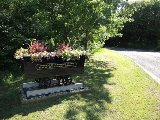
Peasedown St John

Peasedown St John (commonly referred to as Peasedown) is a village and civil parish in Somerset, England, standing on a hilltop roughly 5 miles (8 km)...

Dunkerton railway station

Dunkerton railway station served the village of Dunkerton, Somerset, England from 1910 to 1925. It was constructed as part of the extension of the original...

Tunley Camp

Tunley Camp is an vallate Iron Age hill fort situated approximately 0.8 miles (1.3 km) north-east from the small village of Camerton in the Bath and North...

Nearby Amenities

Located within 500m of 51.316546,-2.4422478
Barrier: kissing_gate
Lat/Long: 51.3188894/-2.4467525
Barrier: kissing_gate
Lat/Long: 51.3185877/-2.4463018
Barrier: kissing_gate
Lat/Long: 51.318467/-2.446613
Barrier: kissing_gate
Lat/Long: 51.320036/-2.444317
Barrier: entrance
Lat/Long: 51.3198879/-2.4411715
Power: pole
Lat/Long: 51.3184835/-2.4482338
Power: pole
Lat/Long: 51.3186612/-2.4472548
Power: pole
Lat/Long: 51.3192949/-2.4461149
Power: pole
Lat/Long: 51.3186126/-2.4457528
Power: pole
Lat/Long: 51.3197492/-2.4452941
Power: pole
Lat/Long: 51.3201884/-2.4445324
Power: pole
Lat/Long: 51.3205353/-2.443371
Power: pole
Lat/Long: 51.3209159/-2.4421157
Generator Method: photovoltaic
Generator Output Electricity: yes
Generator Source: solar
Generator Type: solar_photovoltaic_panel
Location: roof
Power: generator
Lat/Long: 51.3173585/-2.4451331
Power: pole
Transformer: distribution
Lat/Long: 51.3178409/-2.4452964
Power: pole
Lat/Long: 51.3195118/-2.4388824
Power: pole
Lat/Long: 51.3203398/-2.4397975
Power: pole
Lat/Long: 51.3192711/-2.4380259
Material: wood
Power: pole
Lat/Long: 51.3190304/-2.4372063
Power: pole
Lat/Long: 51.3187532/-2.4362543
Power: pole
Lat/Long: 51.3181023/-2.4381183
Material: wood
Power: pole
Lat/Long: 51.3186357/-2.4375206
Material: wood
Power: pole
Lat/Long: 51.3181221/-2.4375565
Material: wood
Power: pole
Lat/Long: 51.3176324/-2.4376377
Power: pole
Lat/Long: 51.3175633/-2.4387651
Material: wood
Power: pole
Lat/Long: 51.3168378/-2.4370894
Generator Method: photovoltaic
Generator Output Electricity: yes
Generator Source: solar
Generator Type: solar_photovoltaic_panel
Location: roof
Power: generator
Lat/Long: 51.3161839/-2.4381103
Generator Method: photovoltaic
Generator Output Electricity: yes
Generator Source: solar
Generator Type: solar_photovoltaic_panel
Location: roof
Power: generator
Lat/Long: 51.3150265/-2.4387512
The data included in this document is from www.openstreetmap.org. The data is made available under ODbL.

Have you been to Lower Plantation?

Leave your review of Lower Plantation below (or comments, questions and feedback).