New Buildings
Settlement in Somerset
England
New Buildings
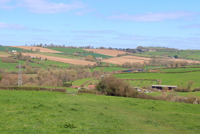
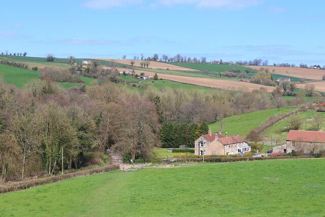
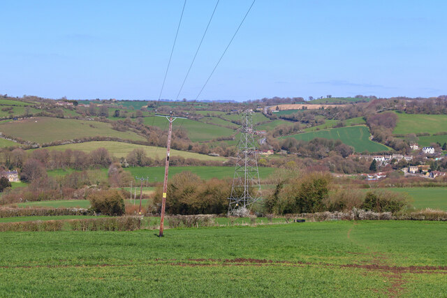
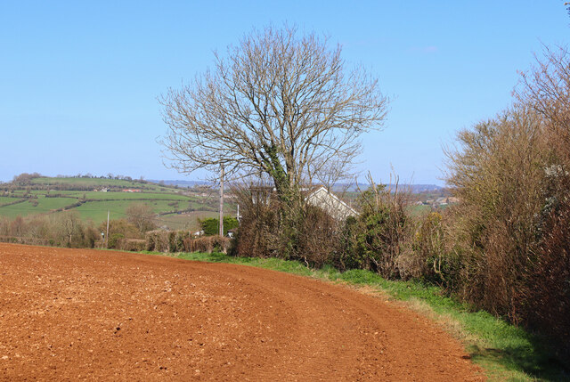
New Buildings is a small village located in the county of Somerset, England. Situated about 10 miles south of the city of Bath, it is nestled in the picturesque countryside, surrounded by rolling hills and green fields. The village is part of the Bath and North East Somerset local authority area.
The history of New Buildings dates back several centuries, with evidence of human settlement in the area from prehistoric times. Over the years, it has served as an agricultural hub, known for its fertile lands and farming activities. Today, the village retains its rural charm and tranquil atmosphere.
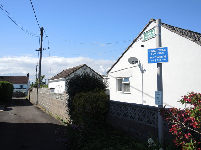
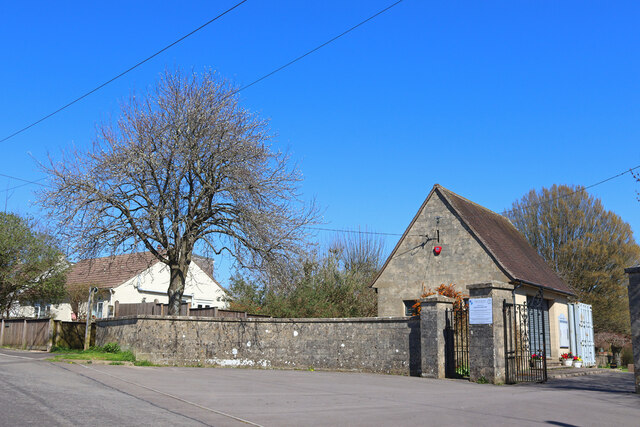
New Buildings is characterized by a mixture of architectural styles, with a range of houses and buildings that reflect its historical past. The village is predominantly residential, with a small number of local shops and amenities catering to the needs of its residents. The community is tight-knit, fostering a friendly and welcoming environment.
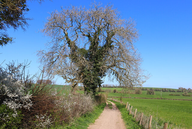
Surrounded by nature, New Buildings offers plenty of opportunities for outdoor activities and exploration. The village is blessed with picturesque walking trails, allowing residents and visitors to enjoy the stunning landscape and fresh country air. The nearby countryside and woodlands provide a haven for wildlife enthusiasts and nature lovers.
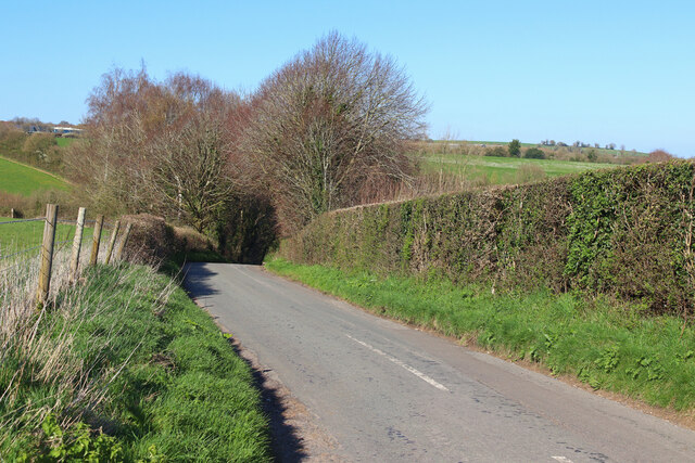
Transportation in New Buildings is mainly dependent on private vehicles, as the village is not served directly by public transportation. However, it enjoys good connectivity to nearby towns and cities, with easy access to major roads and highways.
In summary, New Buildings is a delightful village in Somerset, combining historical charm, scenic beauty, and a close-knit community spirit. It offers a peaceful and idyllic setting for those seeking a rural lifestyle while still being within reach of urban amenities.
If you have any feedback on the listing, please let us know in the comments section below.
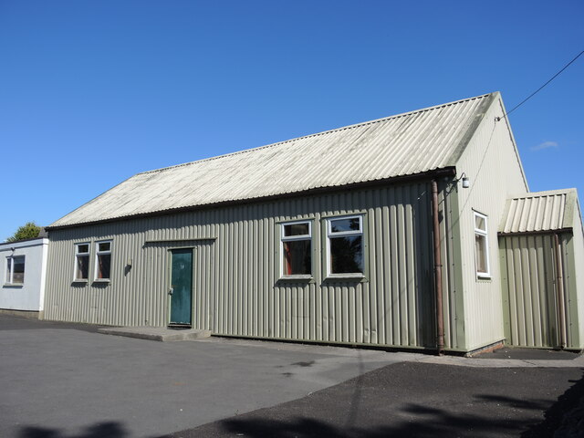
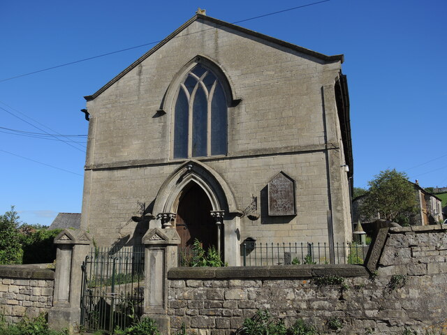
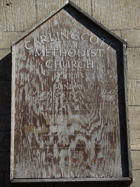
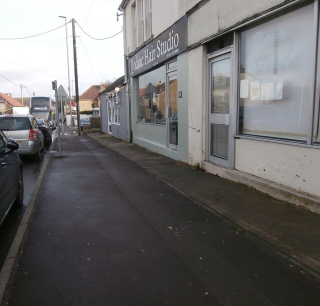
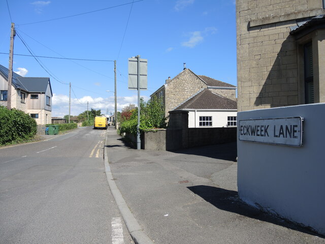
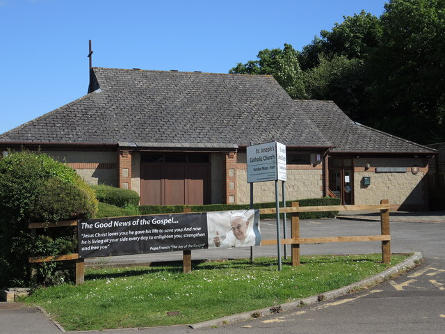
New Buildings Images
Images are sourced within 2km of 51.315824/-2.438752 or Grid Reference ST6957. Thanks to Geograph Open Source API. All images are credited.
New Buildings is located at Grid Ref: ST6957 (Lat: 51.315824, Lng: -2.438752)
Unitary Authority: Bath and North East Somerset
Police Authority: Avon and Somerset
What 3 Words
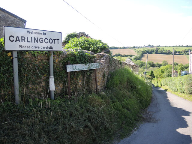
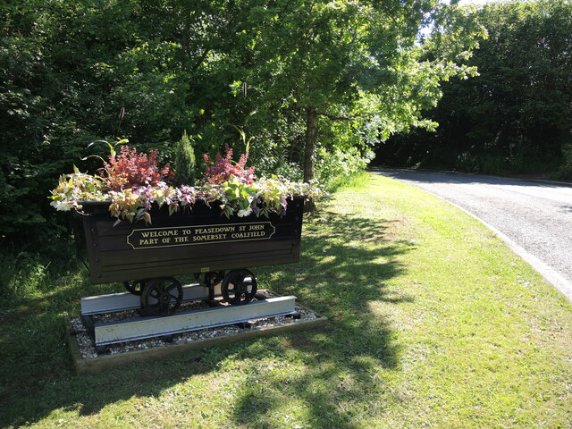
///venturing.abode.clings. Near Peasedown St John, Somerset
Nearby Locations
Related Wikis
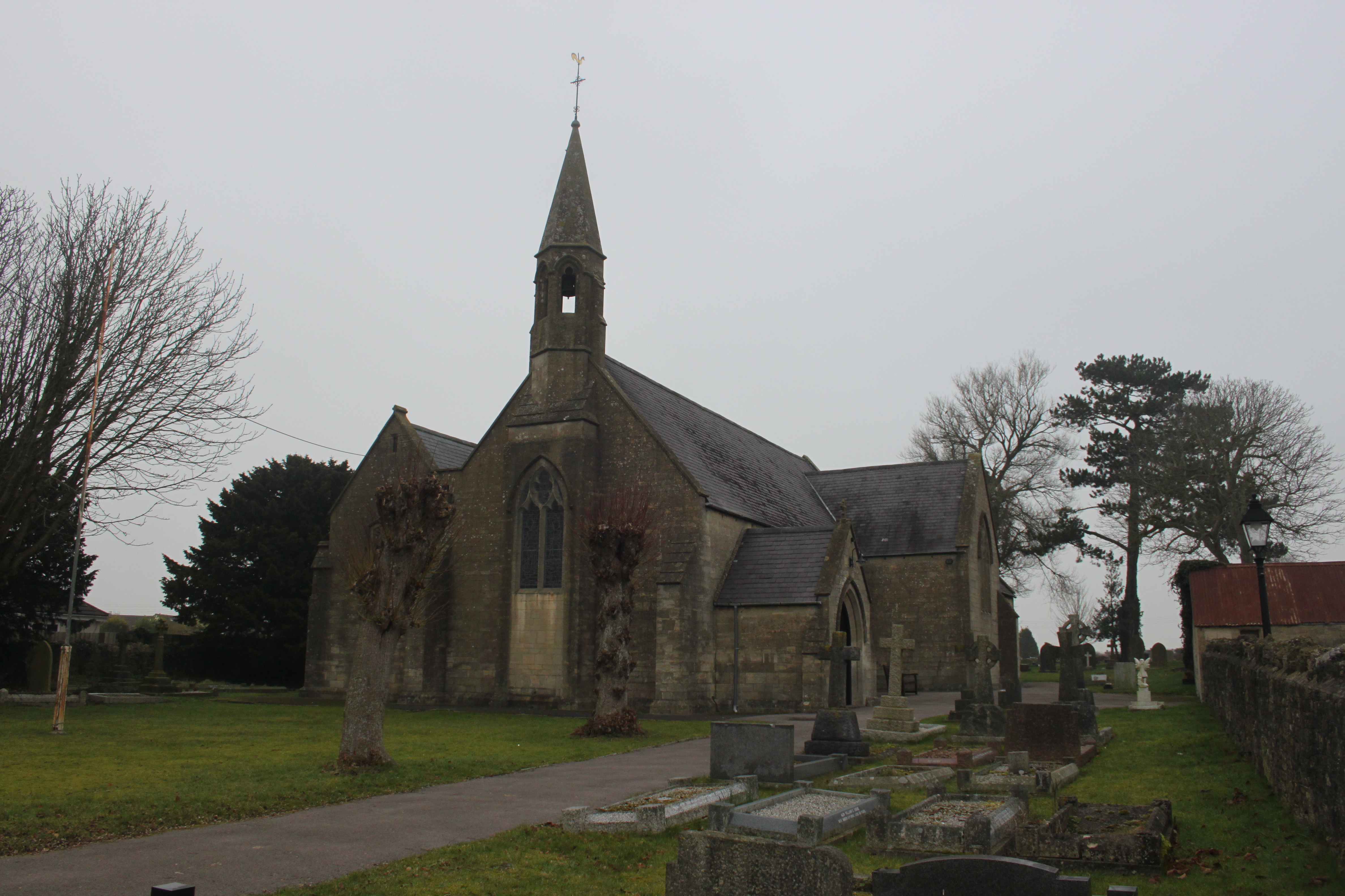
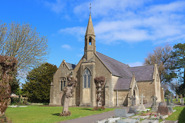
St John's Church, Peasedown St John
St John's Church, Peasedown St John (or more formally the Church of St John the Baptist, Peasedown) is the Anglican parish church for the village of Peasedown...

Camerton Court
Camerton Court is a historic house in the village of Camerton, Somerset, England. It has been designated as a Grade II listed building. == House == The...

St Peter's Church, Camerton Park
The Church of St Peter at Camerton Park in Camerton, Somerset, England was built in the 15th century and has been designated as a Grade I listed building...
Camerton, Somerset
Camerton is a village and civil parish in Somerset, 6 miles (9.7 km) south west of Bath, lying on the Cam Brook. The parish has a population of 655....

Peasedown St John
Peasedown St John (commonly referred to as Peasedown) is a village and civil parish in Somerset, England, standing on a hilltop roughly 5 miles (8 km)...

Camerton railway station (Somerset)
Camerton (Somerset) railway station served the village of Camerton, England from 1882 to 1951 on the Bristol and North Somerset Railway. In common with...

Dunkerton railway station
Dunkerton railway station served the village of Dunkerton, Somerset, England from 1910 to 1925. It was constructed as part of the extension of the original...

Clandown
Clandown is a village lying north of Radstock in Somerset, England, just off the Fosseway. It is 1 mile (1.6 km) north of Radstock. The nearby Bowlditch...
Nearby Amenities
Located within 500m of 51.315824,-2.438752Have you been to New Buildings?
Leave your review of New Buildings below (or comments, questions and feedback).