Intake Plantation
Wood, Forest in Lancashire
England
Intake Plantation

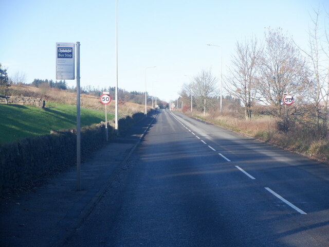
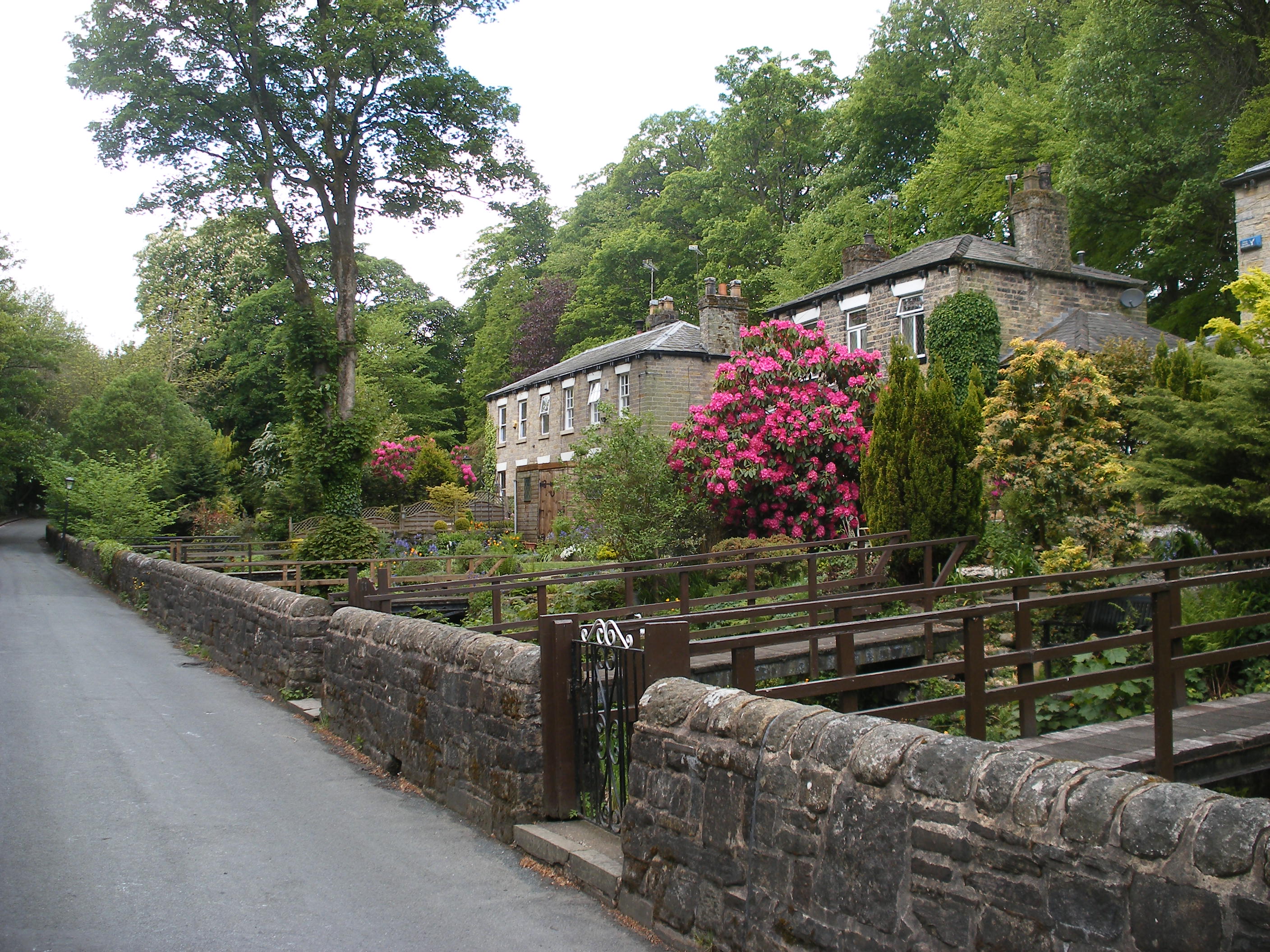
Intake Plantation is a sprawling woodland located in the county of Lancashire, England. Situated in the heart of the rural countryside, this forested area covers a vast expanse of land and is known for its rich biodiversity and natural beauty.
The plantation is characterized by its dense growth of various tree species, including oak, beech, and birch, which create a lush and verdant canopy overhead. The forest floor is covered with a diverse array of vegetation, such as ferns, mosses, and wildflowers, adding to the overall picturesque scenery.
Intake Plantation is a haven for wildlife enthusiasts, as it is home to a wide range of animal species. Visitors can expect to encounter woodland creatures like deer, foxes, badgers, and a plethora of bird species, including owls and woodpeckers. The forest also provides habitat for numerous insects, amphibians, and reptiles, contributing to its ecological significance.
The plantation is well-preserved and maintained, with designated walking trails that allow visitors to explore the area at their leisure. These trails wind through the woodland, offering panoramic views of the surrounding countryside, and providing opportunities for nature photography and birdwatching.
Intake Plantation is a popular destination for outdoor activities such as hiking, cycling, and picnicking. Its serene and tranquil atmosphere offers a peaceful retreat from the hustle and bustle of everyday life, making it an ideal spot for relaxation and reconnecting with nature.
Overall, Intake Plantation in Lancashire is a captivating woodland that showcases the natural beauty and biodiversity of the region. It provides a haven for wildlife and offers visitors an opportunity to immerse themselves in the serene surroundings of this picturesque forest.
If you have any feedback on the listing, please let us know in the comments section below.
Intake Plantation Images
Images are sourced within 2km of 53.605703/-2.4659344 or Grid Reference SD6912. Thanks to Geograph Open Source API. All images are credited.


Intake Plantation is located at Grid Ref: SD6912 (Lat: 53.605703, Lng: -2.4659344)
Unitary Authority: Bolton
Police Authority: Greater Manchester
What 3 Words
///mining.swaps.limes. Near Bolton, Manchester
Related Wikis

Smithills
Smithills is a mainly residential suburb of Bolton in Greater Manchester, England. It is 3.1 miles (5 km) northwest of Bolton, 14.5 miles (23 km) south...
Barrow Bridge, Bolton
Barrow Bridge is a model village in the north-west outskirts of Bolton in Greater Manchester, England. It was created in the Industrial Revolution but...

Smithills Hall
Smithills Hall is a Grade I listed manor house, and a scheduled monument in Smithills, Bolton, Greater Manchester, England. It stands on the slopes of...

The Sixth Form Bolton
The Sixth Form Bolton, formerly Bolton Sixth Form College, is a further education college for students aged 16-19 and is located in Bolton, Greater Manchester...
Moss Bank Park, Bolton
Moss Bank Park is a 34.25 hectares (84.6 acres) park in Bolton, Greater Manchester, England. It consists of open space, woodland, gardens and other facilities...
Smithills School
Smithills School is a mixed secondary school located in Smithills, Bolton, Greater Manchester.Previously a Grammar School and then a community school administered...
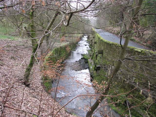
Dean Brook
Dean Brook is a river in Smithills, Bolton, Greater Manchester, historically within Lancashire. Dean Brook rises on Smithills Moor and flows in a south...

Horrocks Fold
Horrocks Fold is a hamlet in Bolton, Lancashire, England. It is 4 miles (6 km) northwest of Bolton town centre and 2.5 miles (4 km) southeast of Belmont...
Nearby Amenities
Located within 500m of 53.605703,-2.4659344Have you been to Intake Plantation?
Leave your review of Intake Plantation below (or comments, questions and feedback).