Box Grove

Wood, Forest in Gloucestershire Forest of Dean

England

Box Grove

Pylons near Arlingham The pylons carry electricity across the River Severn. The Severn Way walk continues around the river edge to Hock Cliff, made from Lower Jurassic rocks.
Pylons near Arlingham Credit: Peter Kwan

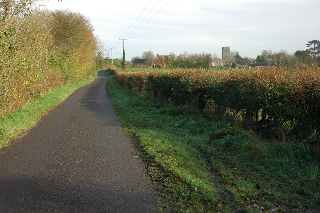
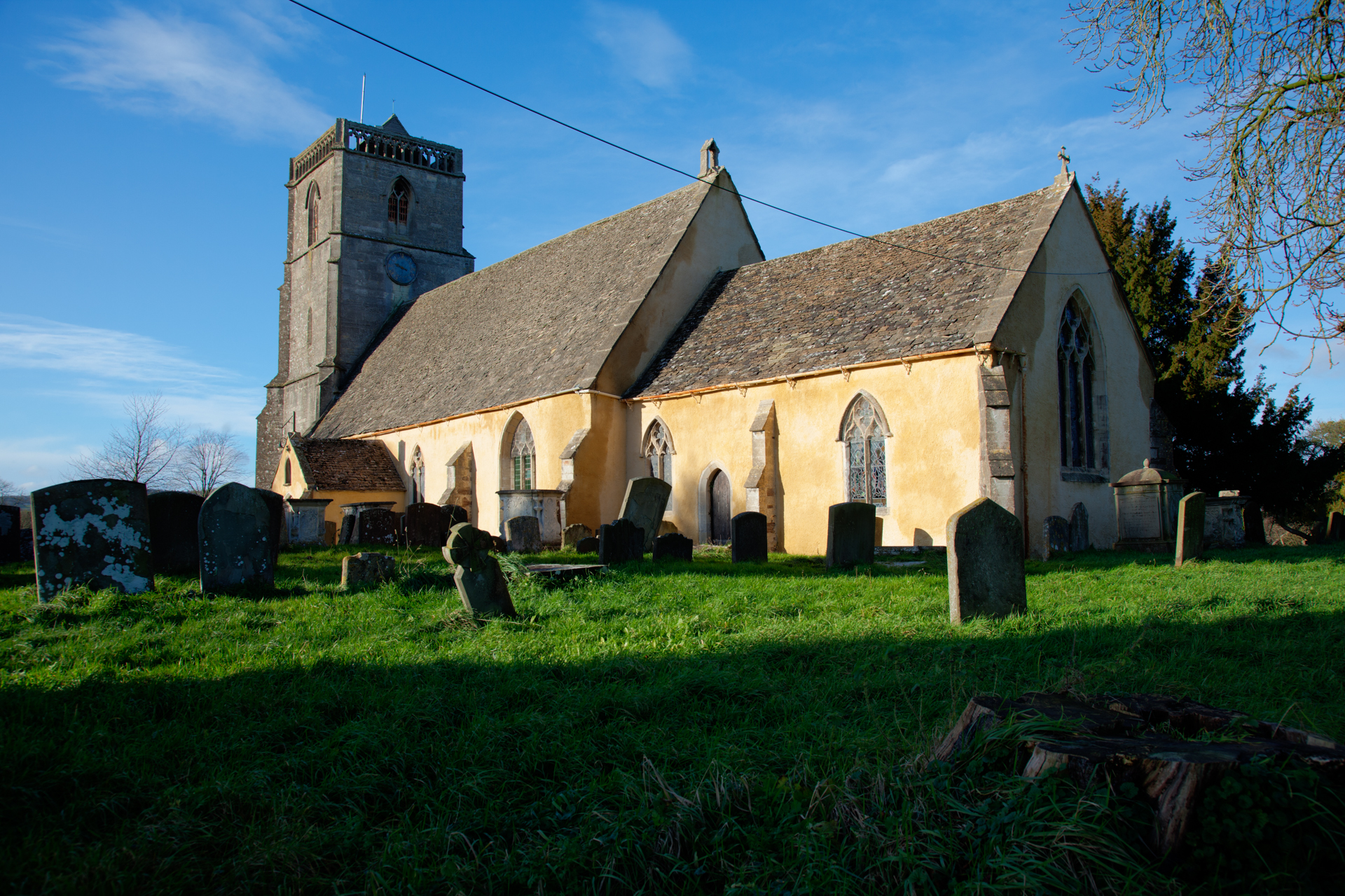
Box Grove is a picturesque woodland located in the county of Gloucestershire, England. Situated near the village of Box, it is a popular destination for nature lovers and outdoor enthusiasts. The grove is part of the larger Box Wood, which covers an area of approximately 50 hectares.

The woodland is predominantly composed of box trees, from which it derives its name. These evergreen trees create a unique and enchanting atmosphere, especially during the summer months when their dark green foliage provides a cool and shaded environment. The grove is also home to a variety of other tree species, including oak, beech, and ash, which further enhance its natural beauty.

Box Grove is known for its diverse wildlife, making it an ideal location for birdwatching and nature photography. Visitors can spot a range of bird species, such as woodpeckers, nuthatches, and tawny owls, as well as small mammals like squirrels and hedgehogs. The woodland floor is carpeted with bluebells and wildflowers during the spring, creating a vibrant and colorful display.

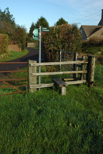
The grove offers several walking trails, allowing visitors to explore its tranquil surroundings at their own pace. These paths wind through the woods, offering glimpses of babbling brooks and secluded clearings. The peaceful ambiance of Box Grove provides a perfect escape from the hustle and bustle of everyday life, offering a serene and calming experience for all who visit.

Overall, Box Grove in Gloucestershire is a beautiful woodland retreat, offering a rich variety of flora and fauna. Its verdant landscape, dotted with ancient trees, provides an idyllic setting for nature enthusiasts and those seeking a peaceful and rejuvenating experience in the heart of the English countryside.

If you have any feedback on the listing, please let us know in the comments section below.
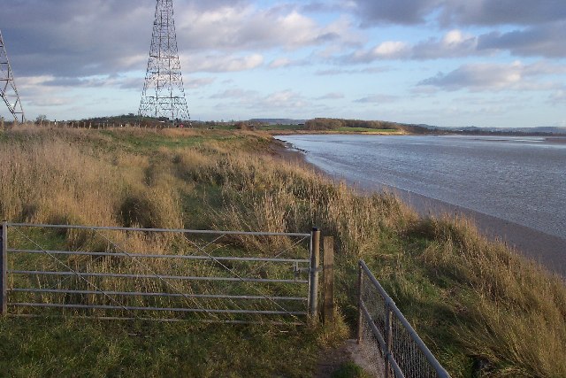
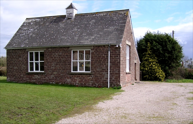
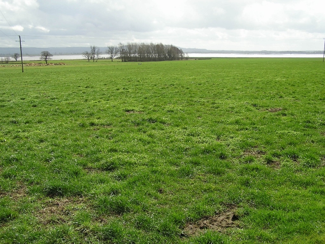
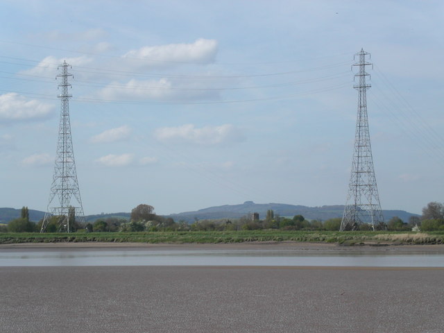
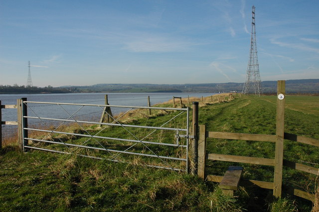
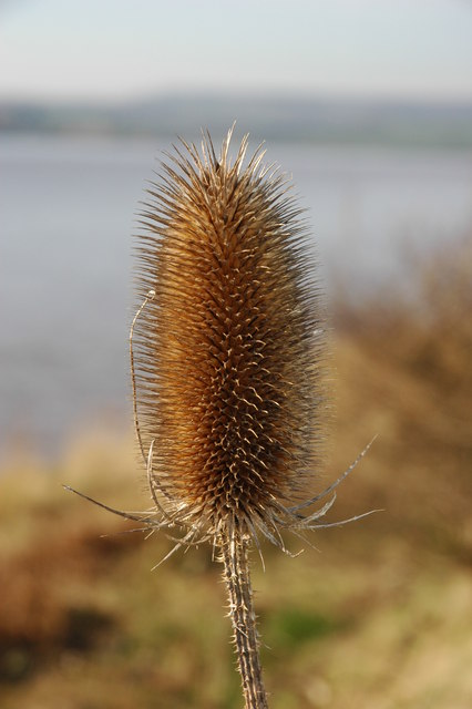
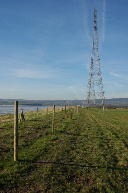
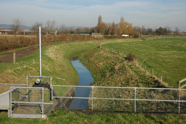
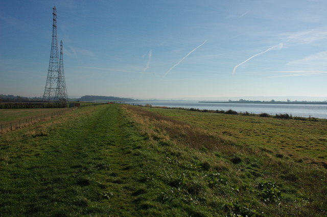
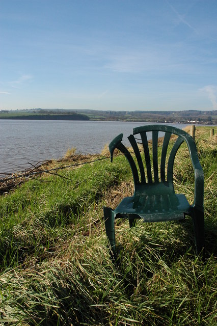
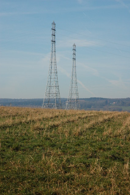
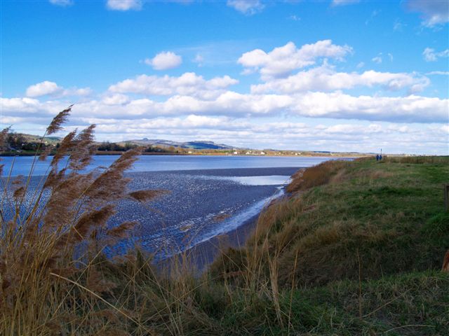
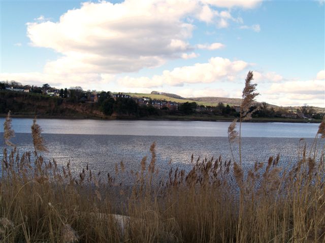
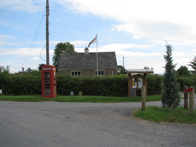
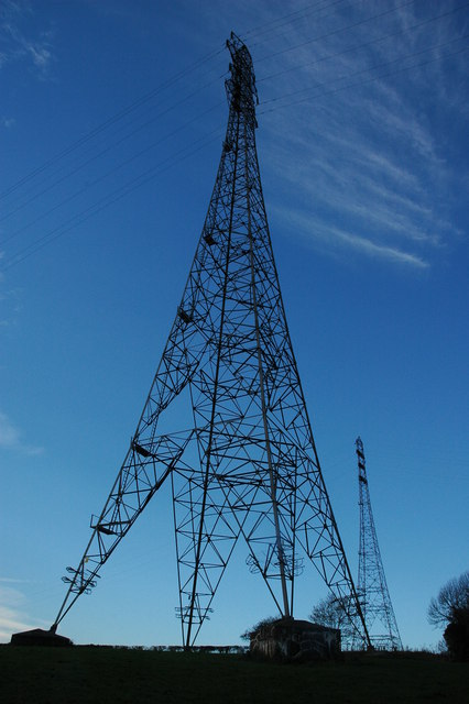
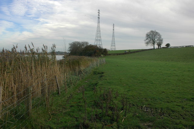
Box Grove Images

Images are sourced within 2km of 51.782427/-2.4476461 or Grid Reference SO6909. Thanks to Geograph Open Source API. All images are credited.

Pylons near Arlingham The pylons carry electricity across the River Severn. The Severn Way walk continues around the river edge to Hock Cliff, made from Lower Jurassic rocks.
Pylons near Arlingham
The pylons carry electricity across the River Severn. The Severn Way walk continues around the river edge to Hock Cliff, made from Lower Jurassic rocks.
Village Hall, Awre Had a pleasant pair of Gates commemorating the Queen's Silver Jubilee in 1977.
Village Hall, Awre
Had a pleasant pair of Gates commemorating the Queen's Silver Jubilee in 1977.
Farmland, Awre Picture taken from the Severn Way across farmland to the River Severn itself.
Farmland, Awre
Picture taken from the Severn Way across farmland to the River Severn itself.
Electric pylons by the river Severn These very high pylons are used to span the river Severn with power grid  cables. In the background centre stands Arlingham church and behind the church on the horizon is May Hill.
Electric pylons by the river Severn
These very high pylons are used to span the river Severn with power grid cables. In the background centre stands Arlingham church and behind the church on the horizon is May Hill.
Stile on the Severn Way, near Arlingham With the tide in the River Severn is very wide where it negotiates the large horseshoe opposite Newnham. Due to the river's width taller pylons are used to carry power cables across the river.
Stile on the Severn Way, near Arlingham
With the tide in the River Severn is very wide where it negotiates the large horseshoe opposite Newnham. Due to the river's width taller pylons are used to carry power cables across the river.
Teasel on the banks of the River Severn Teasel on the banks of the River Severn near Arlingham.
Teasel on the banks of the River Severn
Teasel on the banks of the River Severn near Arlingham.
Pylons on the banks of the River Severn Tall electricity pylons carry the power cables over the River Severn to the south of Arlingham.
Pylons on the banks of the River Severn
Tall electricity pylons carry the power cables over the River Severn to the south of Arlingham.
Hope Pill, Arlingham Hope Pill drains into the River Severn to the south of the village of Arlingham.
Hope Pill, Arlingham
Hope Pill drains into the River Severn to the south of the village of Arlingham.
The River Severn at Arlingham Tall pylons carry electricity power cables across the width of the River Severn. The river here negotiates a large horseshoe bend, the view of the river is downstream and the Cotswolds can be seen on the horizon.
The River Severn at Arlingham
Tall pylons carry electricity power cables across the width of the River Severn. The river here negotiates a large horseshoe bend, the view of the river is downstream and the Cotswolds can be seen on the horizon.
Flotsam on the bank of the River Severn A plastic chair is caught on barbed wire on the bank of the River Severn to the south of Arlingham.
Flotsam on the bank of the River Severn
A plastic chair is caught on barbed wire on the bank of the River Severn to the south of Arlingham.
Pylons at Arlingham Tall pylons at Arlingham carry the power cables across the River Severn.
Pylons at Arlingham
Tall pylons at Arlingham carry the power cables across the River Severn.
River Severn
River Severn
River Severn
River Severn
Phone box outside the Village Hall in Awre
Electricity pylons, Awre These are two very tall electricity pylons on the southern bank of the River Severn at Awre.
Electricity pylons, Awre
These are two very tall electricity pylons on the southern bank of the River Severn at Awre.
River bank at Awre View across fields beside the River Severn to the north of Awre.  The two tall pylons carry power cables across the river to Arlingham on the other bank.  A tractor is hedge cutting in the next field.
River bank at Awre
View across fields beside the River Severn to the north of Awre. The two tall pylons carry power cables across the river to Arlingham on the other bank. A tractor is hedge cutting in the next field.
Country road approaching Awre The tower of St Andrew's church can be seen in the background.
Country road approaching Awre
The tower of St Andrew's church can be seen in the background.
Stile and footpath sign, Awre The footpath indicates this is the route of the Severn Way, however, the official route is on the east bank of the river.
Stile and footpath sign, Awre
The footpath indicates this is the route of the Severn Way, however, the official route is on the east bank of the river.
Show me another place!

Box Grove is located at Grid Ref: SO6909 (Lat: 51.782427, Lng: -2.4476461)

Administrative County: Gloucestershire

District: Forest of Dean

Police Authority: Gloucestershire

What 3 Words

///ocean.recruiter.beads. Near Cinderford, Gloucestershire

Related Wikis

Severn tunnel (1810)

The Severn tunnel of 1810 was an unsuccessful plan for a tramroad tunnel beneath the River Severn. The tunnel was to cross the river at Arlingham Passage...

Bullo Cross Halt railway station

Bullo Cross Halt railway station is a disused railway station opened by the former Bullo Pill Railway, later known as the (Great Western Railway) Forest...

Bledisloe Tump

Bledisloe Tump was a castle in the village of Awre in Gloucestershire, England. == History == The first castle on the site was built in the 11th or early...

Lightship 2000

Lightship 2000 (Welsh: Goleulong 2000) was a restored old red lightvessel with a cafe and chapel on board situated in Cardiff Bay. During the redevelopment...

Ruddle Road Halt railway station

Ruddle Road Halt railway station was a minor station on the Gloucester-Newport Railway on the outskirts of Newnham, Gloucestershire. It was also the start...

Awre

Awre () is a village, civil parish and electoral ward in the Forest of Dean District of Gloucestershire, England, near the River Severn. Both the parish...

Arlingham

Arlingham is a village and civil parish in the Stroud District of Gloucestershire, England. The 2021 Census recorded a parish population of 533 (271 males...

Newnham on Severn

Newnham or Newnham on Severn is a village in west Gloucestershire, England. It lies in the Royal Forest of Dean, on the west bank of the River Severn,...

Related Videos

Walking the River Severn | Arlingham Horseshoe

Walking the River Severn around the Arlingham Horseshoe, we took in the peaceful views across to Newnham on Severn.

Nearby Amenities

Located within 500m of 51.782427,-2.4476461
Source: PGS
Lat/Long: 51.7816578/-2.4405614
Source: PGS
Lat/Long: 51.7819897/-2.4417845
Source: PGS
Lat/Long: 51.7824211/-2.4425569
Source: PGS
Lat/Long: 51.7829654/-2.4435547
Created By: almien_coastlines
Source: PGS
Lat/Long: 51.783134/-2.44425
Created By: almien_coastlines
Source: PGS
Lat/Long: 51.783263/-2.444454
Source: PGS
Lat/Long: 51.7836888/-2.445958
Source: PGS
Lat/Long: 51.7839676/-2.4469558
Source: PGS
Lat/Long: 51.7846579/-2.4475244
Source: PGS
Lat/Long: 51.7848835/-2.4484149
Source: PGS
Lat/Long: 51.785587/-2.4492732
Source: PGS
Lat/Long: 51.7862893/-2.4498541
Bus Stop
Box Farm
Naptan AtcoCode: 1600GLF139
Naptan Bearing: SE
Naptan CommonName: Box Farm
Naptan Indicator: Opp
Naptan NaptanCode: gloamdjt
Naptan Street: Bullo Rd
Naptan Verified: no
Source: naptan_import
Lat/Long: 51.7788507/-2.4496129
Bus Stop
Box Farm
Naptan AtcoCode: 1600GLF140
Naptan Bearing: NW
Naptan CommonName: Box Farm
Naptan NaptanCode: gloamdjd
Naptan Street: Bullo Rd
Naptan Verified: no
Source: naptan_import
Lat/Long: 51.7789846/-2.4498751
Barrier: kissing_gate
Kissing Gate: circular_profile
Lat/Long: 51.7863322/-2.4509628
Barrier: stile
Material: wood
Step Count: 1
Stile: stepover
Lat/Long: 51.7835657/-2.4460768
Barrier: stile
Material: wood
Step Count: 1
Stile: stepover
Lat/Long: 51.7823003/-2.4430283
Barrier: stile
Material: wood
Stile: squeezer
Lat/Long: 51.7812598/-2.4415462
Barrier: stile
Material: wood
Stile: squeezer
Lat/Long: 51.7812439/-2.4414327
Box Rock
Place: locality
Source: OS Opendata Streetview
Lat/Long: 51.7827264/-2.4439624
Power: pole
Source: Bing
Lat/Long: 51.7800678/-2.4510401
Power: pole
Source: Bing
Lat/Long: 51.7809943/-2.4516416
Power: pole
Source: Bing
Lat/Long: 51.7828365/-2.4528273
Power: pole
Source: Bing
Lat/Long: 51.7839204/-2.45352
Power: pole
Source: Bing
Lat/Long: 51.7819449/-2.4522534
Barrier: kissing_gate
Kissing Gate: circular_profile
Lat/Long: 51.7838827/-2.4471795
The data included in this document is from www.openstreetmap.org. The data is made available under ODbL.

Have you been to Box Grove?

Leave your review of Box Grove below (or comments, questions and feedback).