Bullo Pill
Sea, Estuary, Creek in Gloucestershire Forest of Dean
England
Bullo Pill
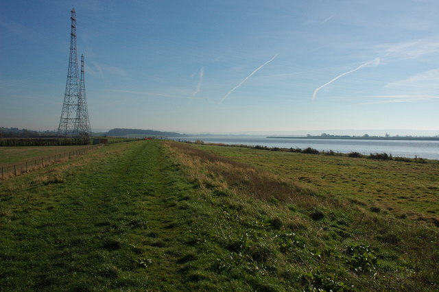
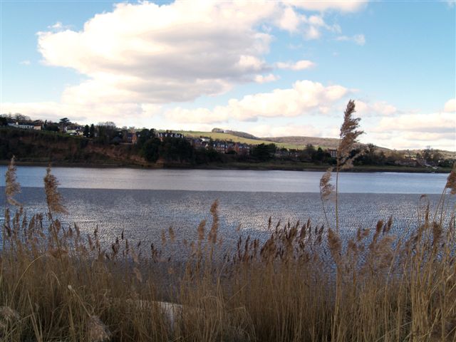
Bullo Pill is a small coastal village located in the county of Gloucestershire, England. Situated on the banks of the River Severn, Bullo Pill is known for its picturesque sea, estuary, and creek.
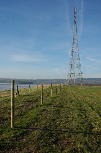
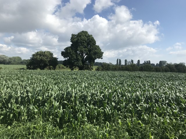
The village is nestled in a serene and tranquil setting, surrounded by lush greenery and stunning natural beauty. The River Severn, one of the longest rivers in the United Kingdom, flows through Bullo Pill, providing a scenic backdrop for residents and visitors alike.
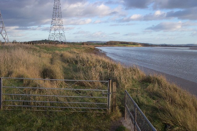
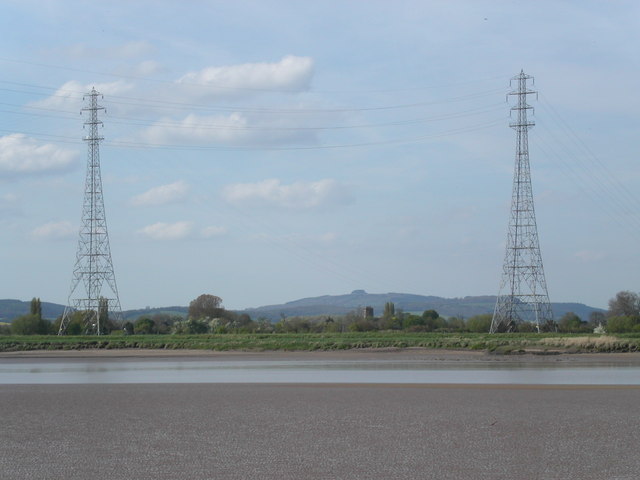
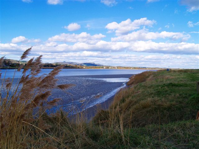
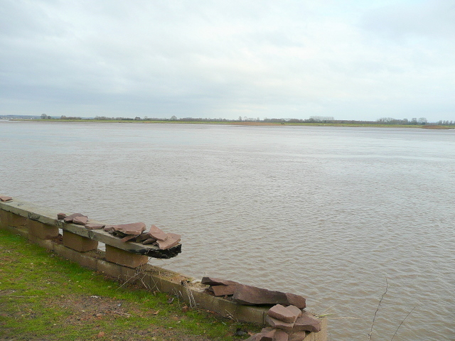
The estuary at Bullo Pill offers breathtaking views, with its wide expanse of water merging into the sea. The estuary is characterized by its ever-changing tides, creating a dynamic and vibrant ecosystem that supports a diverse range of plant and animal species. It is a haven for birdwatchers, as it attracts a variety of migratory birds throughout the year.
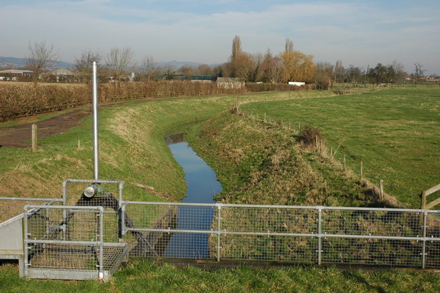
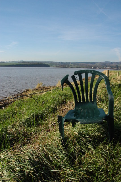
The creek in Bullo Pill is a charming feature of the village, offering a peaceful retreat for those seeking solitude and tranquility. The creek is lined with picturesque cottages and boats, adding to the idyllic atmosphere of the area. It provides ample opportunities for leisure activities such as boating, fishing, and kayaking.
Bullo Pill is a popular destination for nature lovers and outdoor enthusiasts. The village offers a range of amenities, including pubs, restaurants, and accommodation options, ensuring a comfortable and enjoyable stay for visitors. Whether it's exploring the sea, estuary, or creek, Bullo Pill offers a captivating experience for all who visit.
If you have any feedback on the listing, please let us know in the comments section below.
Bullo Pill Images
Images are sourced within 2km of 51.787389/-2.4501598 or Grid Reference SO6909. Thanks to Geograph Open Source API. All images are credited.


Bullo Pill is located at Grid Ref: SO6909 (Lat: 51.787389, Lng: -2.4501598)
Administrative County: Gloucestershire
District: Forest of Dean
Police Authority: Gloucestershire
What 3 Words
///backhand.imagined.fraction. Near Cinderford, Gloucestershire
Nearby Locations
Related Wikis
Severn tunnel (1810)
The Severn tunnel of 1810 was an unsuccessful plan for a tramroad tunnel beneath the River Severn. The tunnel was to cross the river at Arlingham Passage...

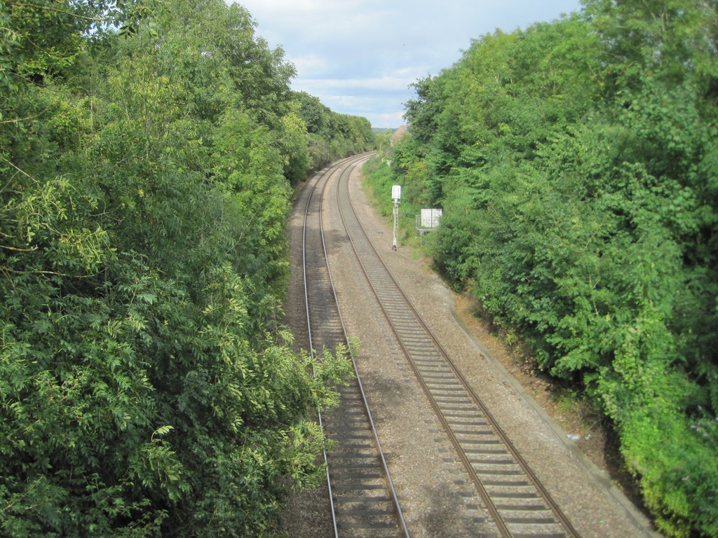
Bullo Cross Halt railway station
Bullo Cross Halt railway station is a disused railway station opened by the former Bullo Pill Railway, later known as the (Great Western Railway) Forest...
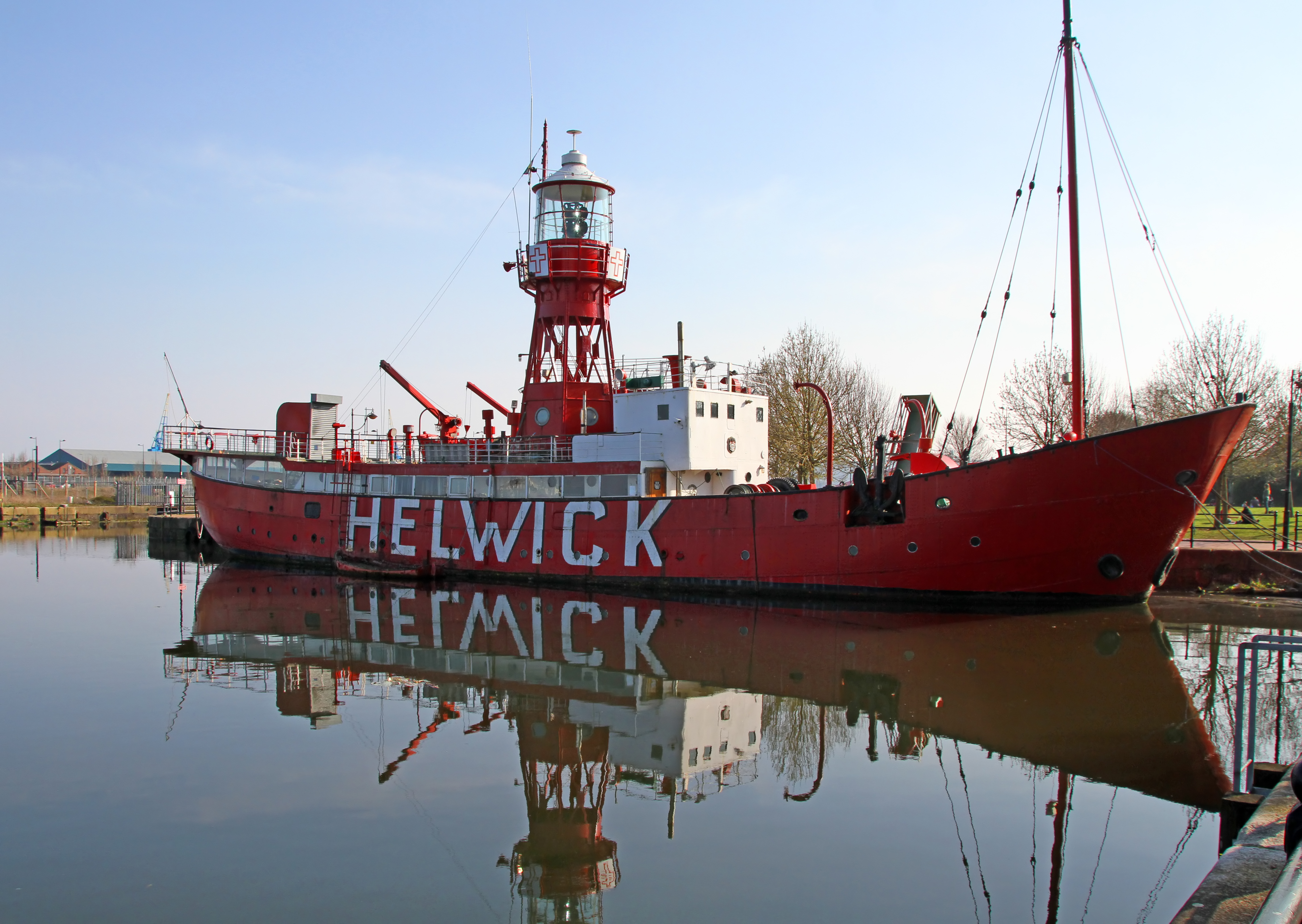
Lightship 2000
Lightship 2000 (Welsh: Goleulong 2000) was a restored old red lightvessel with a cafe and chapel on board situated in Cardiff Bay. During the redevelopment...
Ruddle Road Halt railway station
Ruddle Road Halt railway station was a minor station on the Gloucester-Newport Railway on the outskirts of Newnham, Gloucestershire. It was also the start...

Newnham on Severn
Newnham or Newnham on Severn is a village in west Gloucestershire, England. It lies in the Royal Forest of Dean, on the west bank of the River Severn,...
Bledisloe Tump
Bledisloe Tump was a castle in the village of Awre in Gloucestershire, England. == History == The first castle on the site was built in the 11th or early...
Arlingham
Arlingham is a village and civil parish in the Stroud District of Gloucestershire, England. The 2021 Census recorded a parish population of 533 (271 males...
Newnham railway station
Newnham railway station was a station serving the village of Newnham on Severn, Gloucestershire. == History == The South Wales Railway was formed in 1845...
Nearby Amenities
Located within 500m of 51.787389,-2.4501598Have you been to Bullo Pill?
Leave your review of Bullo Pill below (or comments, questions and feedback).