Box Rock

Coastal Feature, Headland, Point in Gloucestershire Forest of Dean

England

Box Rock

Former Helwick Lightship at Newnham on Severn
Former Helwick Lightship at Newnham on Severn Credit: Colin Park

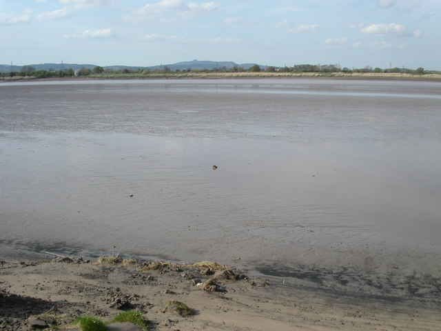
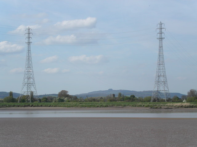
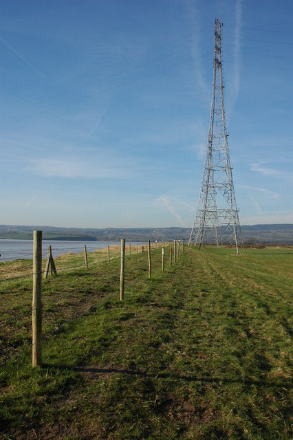
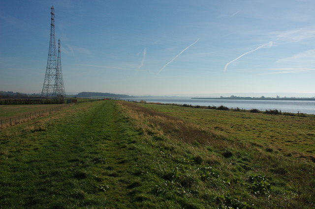
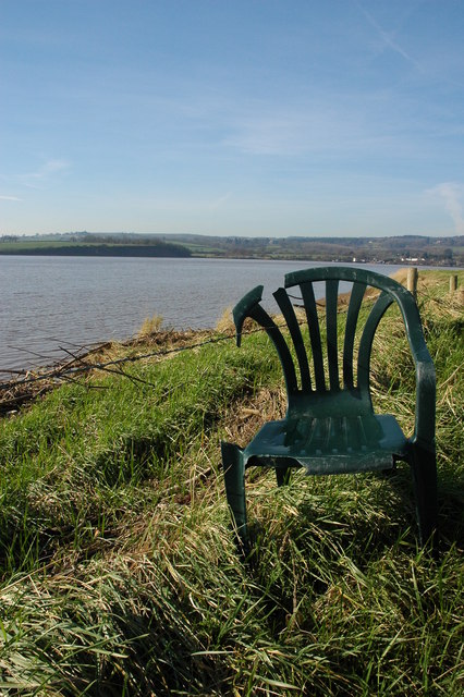
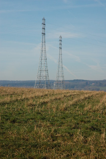
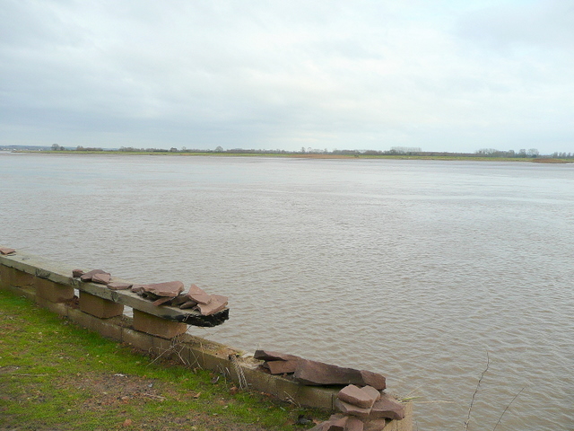
Box Rock is a prominent coastal feature located in Gloucestershire, England. Situated along the coastline, it is a headland that forms a distinctive point jutting out into the sea. This natural formation is a result of the continuous erosion and weathering processes that have shaped the coastal landscape over thousands of years.

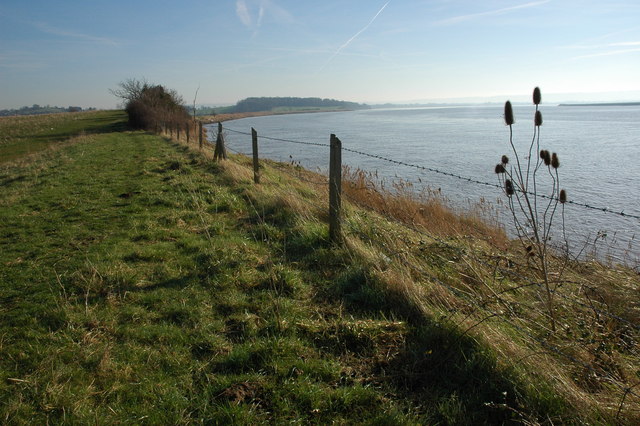
Box Rock is characterized by its towering cliffs, which rise steeply from the sea, offering panoramic views of the surrounding area. The cliffs are composed of sedimentary rocks, predominantly limestone and shale, which exhibit various colors and textures, adding to the visual appeal of the site.

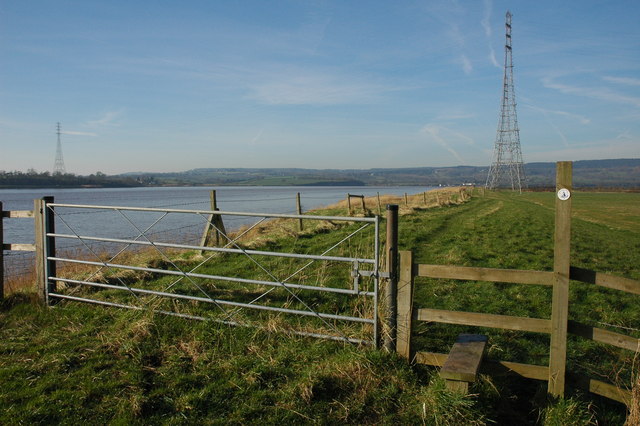
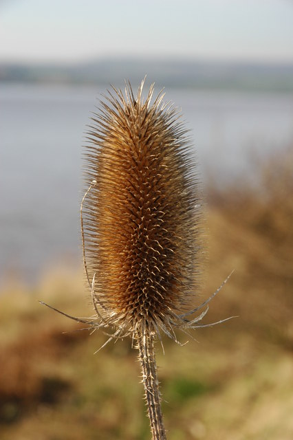
The headland is home to a diverse range of flora and fauna, making it an important ecological site. Various species of seabirds, such as gulls and cormorants, can be observed nesting and fishing in the surrounding waters. Additionally, the rock pools formed at the base of the cliffs during low tide provide a habitat for marine life, including crabs, starfish, and small fish.

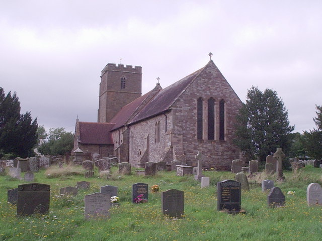
Box Rock also holds historical significance, as it has been used as a navigational landmark for centuries. Its strategic location has made it a crucial point for sailors and fishermen, aiding in their navigation along the coast. Over time, it has become a popular tourist destination, attracting visitors who are drawn to its natural beauty and historical importance.

In conclusion, Box Rock is a striking coastal feature in Gloucestershire, characterized by its imposing cliffs, diverse wildlife, and historical significance. It serves as a mesmerizing point along the coastline, offering visitors a unique and memorable experience.

If you have any feedback on the listing, please let us know in the comments section below.
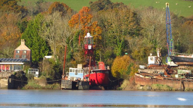
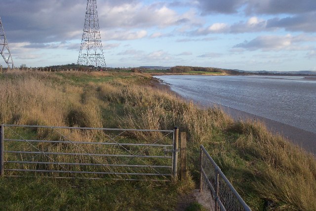
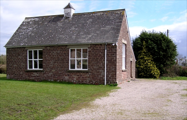
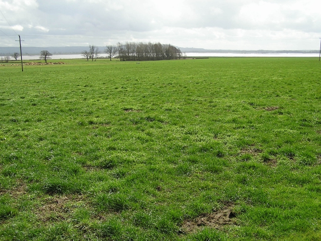
Box Rock Images

Images are sourced within 2km of 51.783127/-2.4433041 or Grid Reference SO6909. Thanks to Geograph Open Source API. All images are credited.

Former Helwick Lightship at Newnham on Severn
On the Severn Way west of Longmarsh Rhyne, Arlingham
Tall pylon on north bank of River Severn near Hope Pill, Arlingham
On the Severn Way west of Hope Pill, Arlingham
Pylons near Arlingham The pylons carry electricity across the River Severn. The Severn Way walk continues around the river edge to Hock Cliff, made from Lower Jurassic rocks.
Pylons near Arlingham
The pylons carry electricity across the River Severn. The Severn Way walk continues around the river edge to Hock Cliff, made from Lower Jurassic rocks.
Village Hall, Awre Had a pleasant pair of Gates commemorating the Queen's Silver Jubilee in 1977.
Village Hall, Awre
Had a pleasant pair of Gates commemorating the Queen's Silver Jubilee in 1977.
Farmland, Awre Picture taken from the Severn Way across farmland to the River Severn itself.
Farmland, Awre
Picture taken from the Severn Way across farmland to the River Severn itself.
River Severn The river Severn has nearly completed its journey around the large horseshoe bend by Newnham. From here it starts to open up into the Noose. A large tidal area of mud and sand. The tide is on its way out uncovering the dangerous sand banks. On the horizon is May hill.
River Severn
The river Severn has nearly completed its journey around the large horseshoe bend by Newnham. From here it starts to open up into the Noose. A large tidal area of mud and sand. The tide is on its way out uncovering the dangerous sand banks. On the horizon is May hill.
Electric pylons by the river Severn These very high pylons are used to span the river Severn with power grid  cables. In the background centre stands Arlingham church and behind the church on the horizon is May Hill.
Electric pylons by the river Severn
These very high pylons are used to span the river Severn with power grid cables. In the background centre stands Arlingham church and behind the church on the horizon is May Hill.
Stile on the Severn Way, near Arlingham With the tide in the River Severn is very wide where it negotiates the large horseshoe opposite Newnham. Due to the river's width taller pylons are used to carry power cables across the river.
Stile on the Severn Way, near Arlingham
With the tide in the River Severn is very wide where it negotiates the large horseshoe opposite Newnham. Due to the river's width taller pylons are used to carry power cables across the river.
The River Severn near Arlingham View downstream from the bank of the River Severn to the south of Arlingham. The Cotswolds can be seen on the horizon.
The River Severn near Arlingham
View downstream from the bank of the River Severn to the south of Arlingham. The Cotswolds can be seen on the horizon.
Teasel on the banks of the River Severn Teasel on the banks of the River Severn near Arlingham.
Teasel on the banks of the River Severn
Teasel on the banks of the River Severn near Arlingham.
Pylons on the banks of the River Severn Tall electricity pylons carry the power cables over the River Severn to the south of Arlingham.
Pylons on the banks of the River Severn
Tall electricity pylons carry the power cables over the River Severn to the south of Arlingham.
Hope Pill, Arlingham Hope Pill drains into the River Severn to the south of the village of Arlingham.
Hope Pill, Arlingham
Hope Pill drains into the River Severn to the south of the village of Arlingham.
The River Severn at Arlingham Tall pylons carry electricity power cables across the width of the River Severn. The river here negotiates a large horseshoe bend, the view of the river is downstream and the Cotswolds can be seen on the horizon.
The River Severn at Arlingham
Tall pylons carry electricity power cables across the width of the River Severn. The river here negotiates a large horseshoe bend, the view of the river is downstream and the Cotswolds can be seen on the horizon.
Flotsam on the bank of the River Severn A plastic chair is caught on barbed wire on the bank of the River Severn to the south of Arlingham.
Flotsam on the bank of the River Severn
A plastic chair is caught on barbed wire on the bank of the River Severn to the south of Arlingham.
Pylons at Arlingham Tall pylons at Arlingham carry the power cables across the River Severn.
Pylons at Arlingham
Tall pylons at Arlingham carry the power cables across the River Severn.
Parish Church Awre
Parish Church Awre
Show me another place!

Box Rock is located at Grid Ref: SO6909 (Lat: 51.783127, Lng: -2.4433041)

Administrative County: Gloucestershire

District: Forest of Dean

Police Authority: Gloucestershire

What 3 Words

///waxer.drummers.stretch. Near Frampton on Severn, Gloucestershire

Related Wikis

Severn tunnel (1810)

The Severn tunnel of 1810 was an unsuccessful plan for a tramroad tunnel beneath the River Severn. The tunnel was to cross the river at Arlingham Passage...

Bullo Cross Halt railway station

Bullo Cross Halt railway station is a disused railway station opened by the former Bullo Pill Railway, later known as the (Great Western Railway) Forest...

Bledisloe Tump

Bledisloe Tump was a castle in the village of Awre in Gloucestershire, England. == History == The first castle on the site was built in the 11th or early...
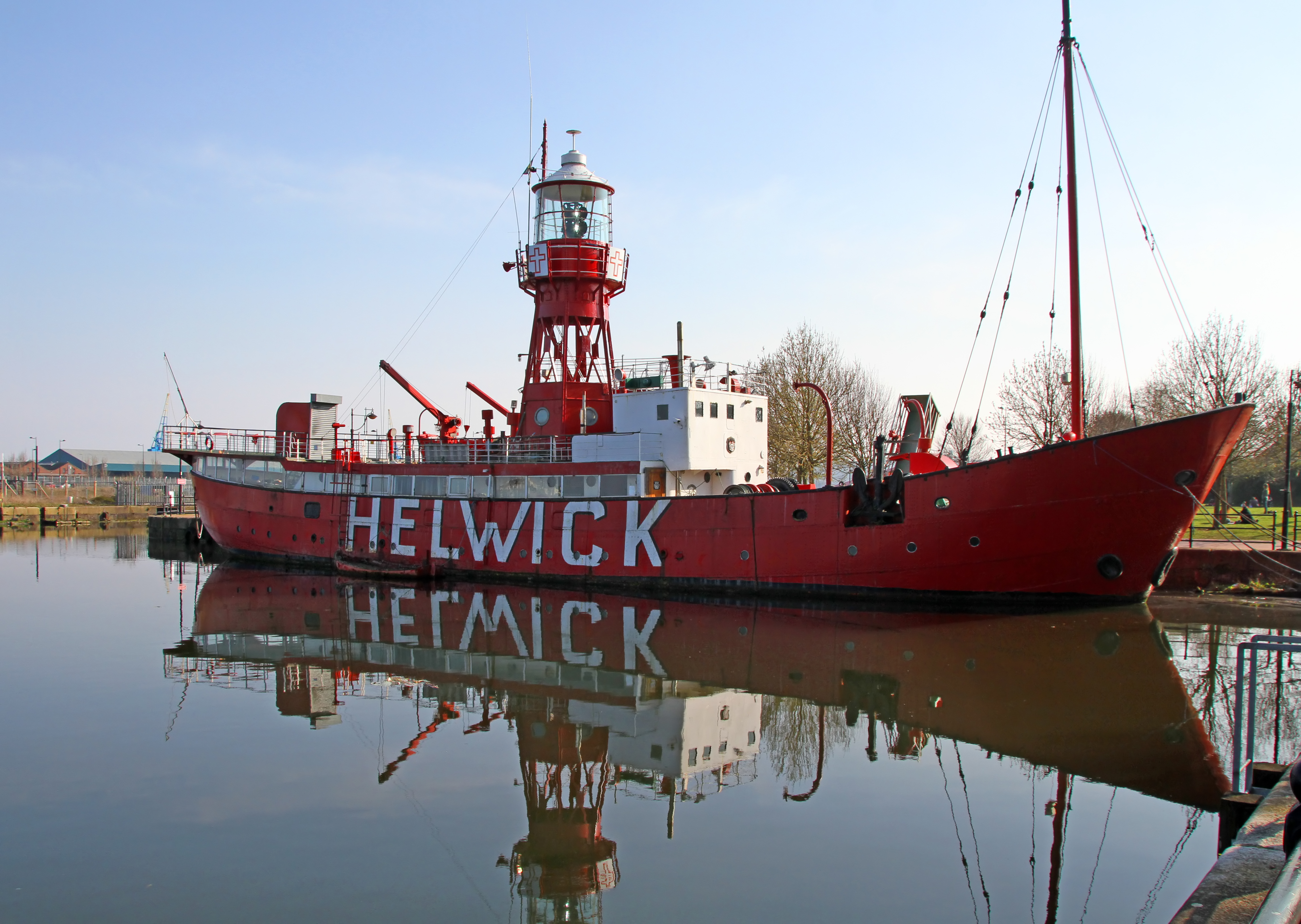
Lightship 2000

Lightship 2000 (Welsh: Goleulong 2000) was a restored old red lightvessel with a cafe and chapel on board situated in Cardiff Bay. During the redevelopment...

Arlingham

Arlingham is a village and civil parish in the Stroud District of Gloucestershire, England. The 2021 Census recorded a parish population of 533 (271 males...

Awre

Awre () is a village, civil parish and electoral ward in the Forest of Dean District of Gloucestershire, England, near the River Severn. Both the parish...

Ruddle Road Halt railway station

Ruddle Road Halt railway station was a minor station on the Gloucester-Newport Railway on the outskirts of Newnham, Gloucestershire. It was also the start...

Newnham on Severn

Newnham or Newnham on Severn is a village in west Gloucestershire, England. It lies in the Royal Forest of Dean, on the west bank of the River Severn,...

Nearby Amenities

Located within 500m of 51.783127,-2.4433041
Source: PGS
Lat/Long: 51.781087/-2.4368707
Source: PGS
Lat/Long: 51.7812264/-2.4384156
Created By: almien_coastlines
Source: PGS
Lat/Long: 51.781445/-2.439519
Source: PGS
Lat/Long: 51.7816578/-2.4405614
Source: PGS
Lat/Long: 51.7819897/-2.4417845
Source: PGS
Lat/Long: 51.7824211/-2.4425569
Source: PGS
Lat/Long: 51.7829654/-2.4435547
Created By: almien_coastlines
Source: PGS
Lat/Long: 51.783134/-2.44425
Created By: almien_coastlines
Source: PGS
Lat/Long: 51.783263/-2.444454
Source: PGS
Lat/Long: 51.7836888/-2.445958
Source: PGS
Lat/Long: 51.7839676/-2.4469558
Source: PGS
Lat/Long: 51.7846579/-2.4475244
Source: PGS
Lat/Long: 51.7848835/-2.4484149
Source: PGS
Lat/Long: 51.785587/-2.4492732
Barrier: stile
Material: wood
Step Count: 1
Stile: stepover
Lat/Long: 51.7835657/-2.4460768
Barrier: stile
Material: wood
Step Count: 1
Stile: stepover
Lat/Long: 51.7823003/-2.4430283
Barrier: stile
Material: wood
Stile: squeezer
Lat/Long: 51.7812598/-2.4415462
Barrier: stile
Material: wood
Stile: squeezer
Lat/Long: 51.7812439/-2.4414327
Barrier: stile
Material: wood
Step Count: 1
Stile: stepover
Lat/Long: 51.7810871/-2.4376734
Box Rock
Place: locality
Source: OS Opendata Streetview
Lat/Long: 51.7827264/-2.4439624
Barrier: kissing_gate
Kissing Gate: circular_profile
Lat/Long: 51.7838827/-2.4471795
The data included in this document is from www.openstreetmap.org. The data is made available under ODbL.

Have you been to Box Rock?

Leave your review of Box Rock below (or comments, questions and feedback).