Merrell's Wood

Wood, Forest in Herefordshire

England

Merrell's Wood

Cradley Hall Farm viewed from the A4103, Worcester to Hereford Road.
Cradley Hall Credit: Bob Embleton

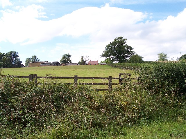
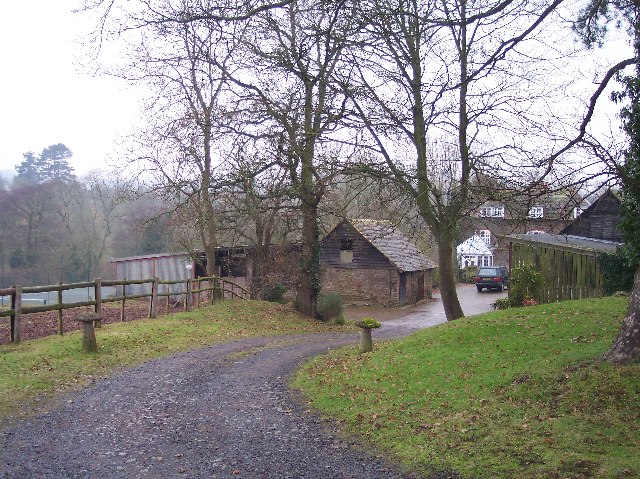
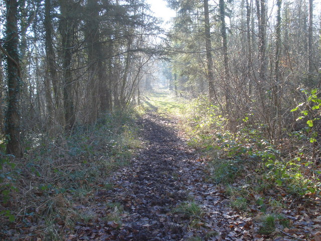
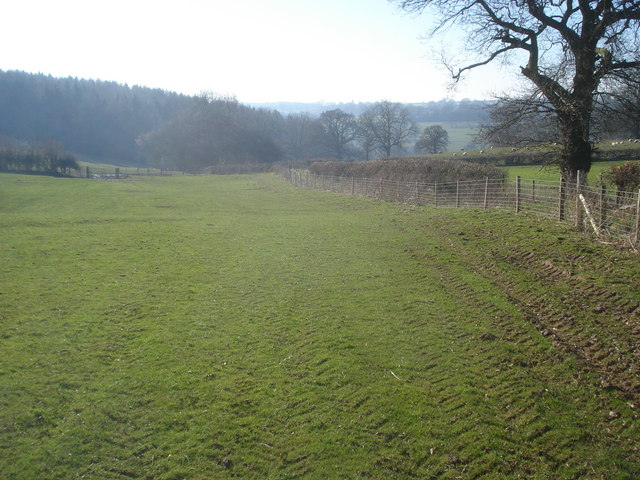
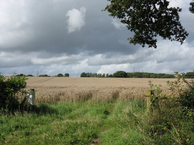
Merrell's Wood is a picturesque forest located in Herefordshire, a county in the West Midlands region of England. Spanning an area of approximately 100 acres, the wood is known for its abundant natural beauty and rich biodiversity.

The forest is predominantly composed of native broadleaf trees, such as oak, ash, and birch, which create a dense canopy and provide a haven for a wide variety of flora and fauna. The woodland floor is carpeted with a lush layer of mosses, ferns, and wildflowers, adding to the enchanting atmosphere.

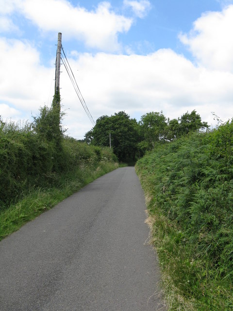
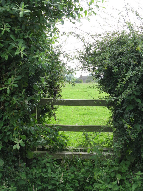
Merrell's Wood offers a serene and peaceful environment, making it a popular destination for nature enthusiasts and outdoor lovers. It provides an ideal setting for leisurely walks, birdwatching, and photography. The forest is crisscrossed with well-maintained trails, allowing visitors to explore its beauty while immersing themselves in the calming sounds of chirping birds and rustling leaves.

Wildlife thrives in Merrell's Wood, and visitors may have the opportunity to spot various species, including deer, foxes, badgers, and a multitude of bird species. The wood is particularly renowned for its population of red kites, a majestic bird of prey that can often be seen soaring high above the treetops.

Merrell's Wood is easily accessible by foot or car, with ample parking available nearby. It is open to the public throughout the year, and there are no admission fees. Whether seeking a tranquil escape from the hustle and bustle of daily life or an opportunity to connect with nature, Merrell's Wood is a hidden gem that offers a truly immersive experience in the heart of Herefordshire.

If you have any feedback on the listing, please let us know in the comments section below.

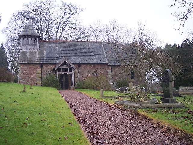
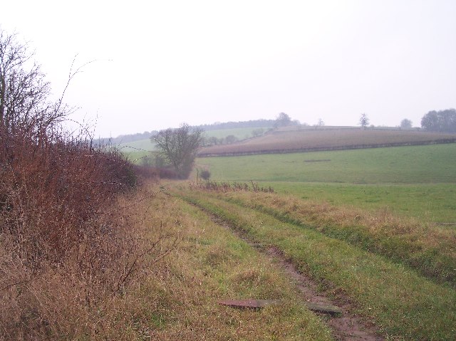
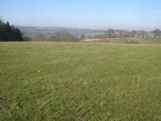
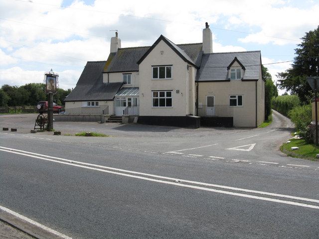
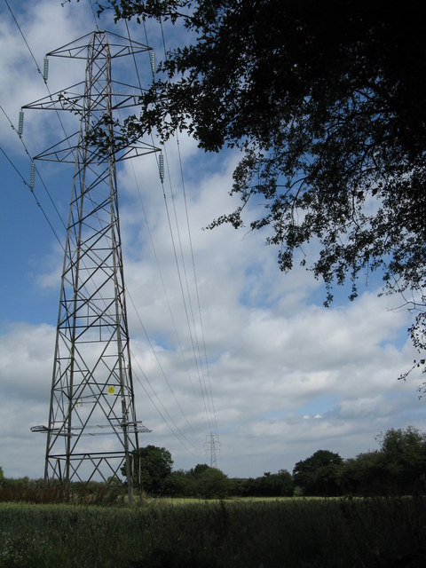
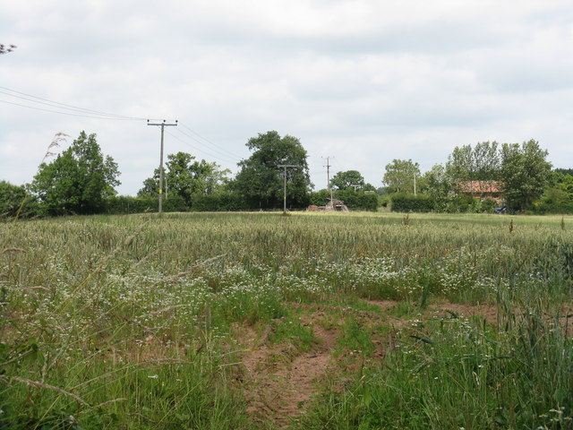
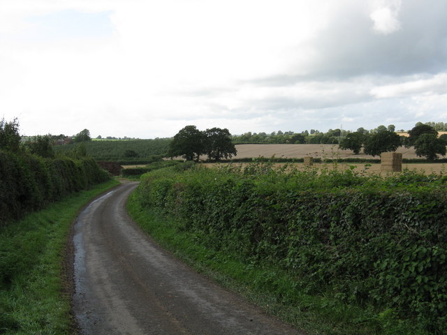
Merrell's Wood Images

Images are sourced within 2km of 52.12429/-2.4511238 or Grid Reference SO6947. Thanks to Geograph Open Source API. All images are credited.

Cradley Hall Farm viewed from the A4103, Worcester to Hereford Road.
Cradley Hall
Farm viewed from the A4103, Worcester to Hereford Road.
The Wheatsheaf Inn, Fromes Hill The Wheatsheaf Inn is on the top of Fromes Hill beside the A4103 has now reopened as a pub.
The Wheatsheaf Inn, Fromes Hill
The Wheatsheaf Inn is on the top of Fromes Hill beside the A4103 has now reopened as a pub.
Mobile Phone Mast On the ridge of Fromes Hill. Viewed from the east.
Mobile Phone Mast
On the ridge of Fromes Hill. Viewed from the east.
Brook House Viewed from the south. The large house complete with stables, paddocks and tennis court stands on ground between the road to Evesbatch and the River Leadon.
Brook House
Viewed from the south. The large house complete with stables, paddocks and tennis court stands on ground between the road to Evesbatch and the River Leadon.
Evesbatch Church Dedicated to St Andrew. "an ancient edifice with square tower"
Evesbatch Church
Dedicated to St Andrew. "an ancient edifice with square tower"
Fields of Pool Farm, Evesbatch Looking south down a track from Pool Farm over the fields towards Ashen coppice on the ridge.
Fields of Pool Farm, Evesbatch
Looking south down a track from Pool Farm over the fields towards Ashen coppice on the ridge.
Track  to Collier's Mill and Dodd's Mill Looking south down what must have been an important old road in the past from close to Speen's Bridge.
Track to Collier's Mill and Dodd's Mill
Looking south down what must have been an important old road in the past from close to Speen's Bridge.
Track through Beacon Hill Wood Looking southwards along the footpath, which broadens out towards the northern end of the wood.
Track through Beacon Hill Wood
Looking southwards along the footpath, which broadens out towards the northern end of the wood.
Farmland north of Beacon Hill Wood Looking north-west across the dome of a large field, with Beacon Hill Wood to the left.
Farmland north of Beacon Hill Wood
Looking north-west across the dome of a large field, with Beacon Hill Wood to the left.
Footpath from Hill Farm Looking south-west along the footpath, which hugs the hedge. The north end of Beacon Hill Wood is ahead in the valley below.
Footpath from Hill Farm
Looking south-west along the footpath, which hugs the hedge. The north end of Beacon Hill Wood is ahead in the valley below.
Lane to Halmond's Frome
Overgrown stile Effectively impassable due to the quantity of brambles.
Overgrown stile
Effectively impassable due to the quantity of brambles.
Fromes Hill chapel
Fromes Hill chapel
Fromes Hill - The Wheatsheaf Inn The lane to Fox Hill is on the right of the pub.
Fromes Hill - The Wheatsheaf Inn
The lane to Fox Hill is on the right of the pub.
Pylon and power line
Land beneath the power lines Both pylons and medium voltage lines cross this field near Halmond's Frome.
Land beneath the power lines
Both pylons and medium voltage lines cross this field near Halmond's Frome.
Hook Lane, Evesbatch
Delayed harvest This field, off Hook Lane, should have been harvested by early September.  The wet summer of 2008 has put matters behind schedule.
Delayed harvest
This field, off Hook Lane, should have been harvested by early September. The wet summer of 2008 has put matters behind schedule.
Show me another place!

Merrell's Wood is located at Grid Ref: SO6947 (Lat: 52.12429, Lng: -2.4511238)

Unitary Authority: County of Herefordshire

Police Authority: West Mercia

What 3 Words

///fight.pulp.slack. Near Evesbatch, Herefordshire

Related Wikis

A4103 road

The A4103 is an A-road which runs from Worcester to the A480 in Stretton Sugwas, a village 2 miles (3.2 km) west of Hereford. The road is a primary route...

Evesbatch

Evesbatch is a village and civil parish 12 miles (19 km) north east of Hereford, in the county of Herefordshire, England. In 2001 the parish had a population...

Fromes Hill

Fromes Hill is a hamlet in the civil parish of Bishop's Frome, in Herefordshire, England, and is about 15 miles (24 km) east from the city and county town...

Halmond's Frome

Halmond's Frome is a hamlet in the civil parish of Bishop's Frome in Herefordshire, England, and is 11 miles (18 km) north-east from the city and county...

Acton Green, Herefordshire

Acton Green is a village in the north east of the English county of Herefordshire (historically Worcestershire) between Bromyard and Great Malvern. �...

Acton Beauchamp

Acton Beauchamp () is a village and civil parish in Herefordshire, England. It is approximately 12 miles (19 km) north-east from the city and county town...

Bishop's Frome

Bishop's Frome (or Bishops Frome) is a village and civil parish in eastern Herefordshire, England. The village is 11 miles (18 km) north-east of the city...

Bosbury

Bosbury is a village and civil parish in Herefordshire, England, approximately 3.5 miles (5.6 km) north of Ledbury. The small River Leadon flows through...

Related Videos

MK3 RALLY CAR HOON + MK7 GTD BRAKE UPGRADE + MK1-MK8 GOLF + XMAS GIFT IDEAS #rallycar

ENJOY 10% OFF EVERYTHING ON THE DEUTSCHE PARTS WEBSITE UNTIL CHRISTMAS USING DISCOUNT CODE ...

Nearby Amenities

Located within 500m of 52.12429,-2.4511238
Steen's Bridge
Power: pole
Transformer: distribution
Voltage Primary: 11000
Lat/Long: 52.1200777/-2.4531336
Power: pole
Lat/Long: 52.1204248/-2.4537378
Power: pole
Lat/Long: 52.1208872/-2.4545344
Power: pole
Lat/Long: 52.1212437/-2.4551412
Power: pole
Lat/Long: 52.1222829/-2.4549776
Power: pole
Lat/Long: 52.1231334/-2.4548744
Power: pole
Lat/Long: 52.1240626/-2.4547563
Power: pole
Lat/Long: 52.1249074/-2.4546806
Power: pole
Lat/Long: 52.1254063/-2.4546095
Brook Farm
Power: pole
Transformer: distribution
Voltage Primary: 11000
Lat/Long: 52.1264697/-2.4544854
Power: pole
Lat/Long: 52.127167/-2.4546826
Power: pole
Lat/Long: 52.1277244/-2.4548422
The data included in this document is from www.openstreetmap.org. The data is made available under ODbL.

Have you been to Merrell's Wood?

Leave your review of Merrell's Wood below (or comments, questions and feedback).