Mill Dam Wood
Wood, Forest in Lancashire
England
Mill Dam Wood

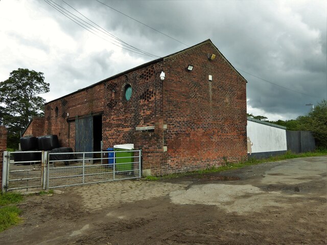
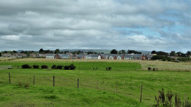
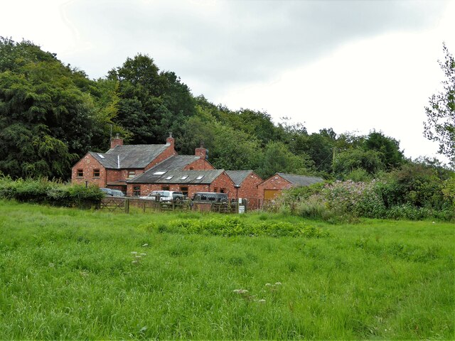
Mill Dam Wood is a picturesque woodland located in the county of Lancashire, England. Covering an area of approximately 100 acres, it is renowned for its natural beauty and diverse range of flora and fauna. The wood is situated near the village of Mill Dam, providing a tranquil escape from the hustle and bustle of urban life.
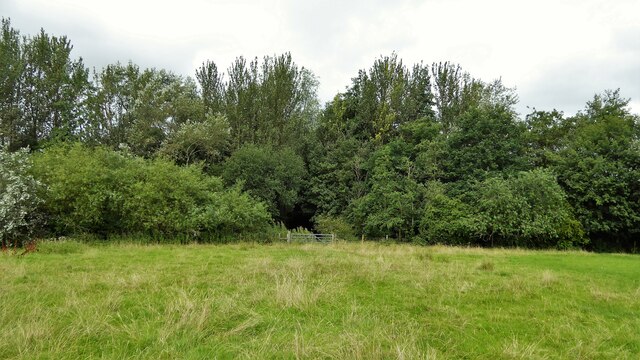
The woodland is primarily composed of native broadleaf trees, such as oak, beech, and birch, which create a dense canopy overhead. This not only provides shade and shelter for various woodland creatures but also creates a serene atmosphere for visitors. The forest floor is carpeted with an array of wildflowers and ferns, adding to the enchanting ambiance of the wood.
Mill Dam Wood is home to a rich diversity of wildlife. Visitors may spot a variety of bird species, including woodpeckers, owls, and songbirds, as well as small mammals like squirrels, rabbits, and voles. The wood also attracts larger mammals, such as deer and foxes, which can occasionally be spotted in the early morning or late evening.
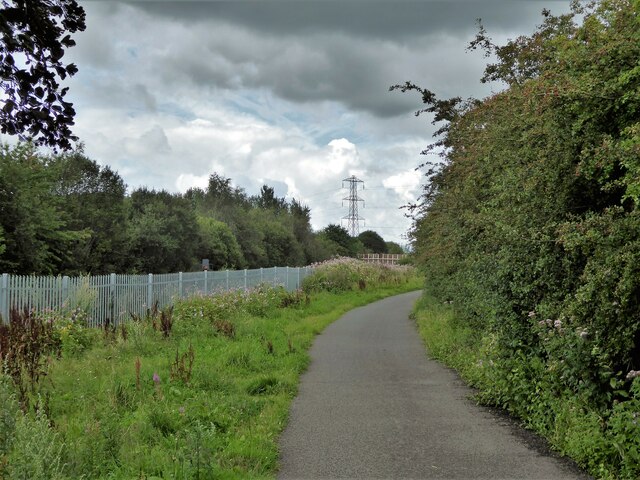
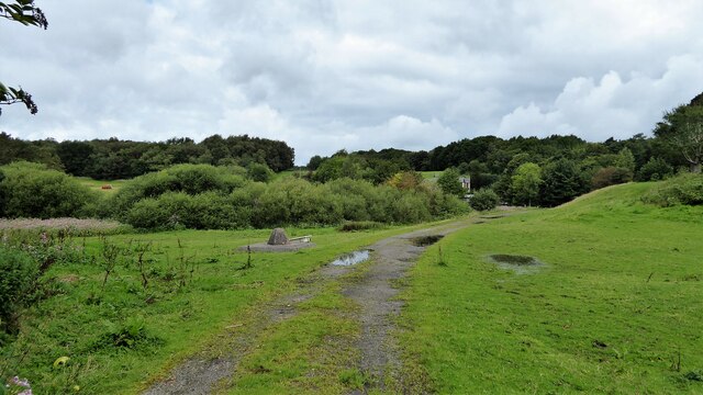
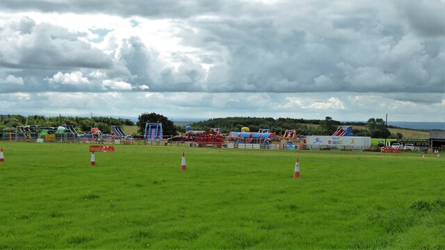
The wood offers several walking trails that allow visitors to explore its beauty at their own pace. These trails wind through the woodland, offering glimpses of babbling brooks, moss-covered rocks, and ancient trees. The peacefulness of the wood, combined with its natural beauty, makes it a popular destination for nature enthusiasts, hikers, and photographers alike.
Mill Dam Wood is not only a haven for wildlife and nature lovers but also serves as an educational resource. Local schools often organize trips to the wood, providing children with the opportunity to learn about the ecosystem and the importance of conservation.
Overall, Mill Dam Wood is a stunning natural oasis in Lancashire, offering a serene escape for those seeking solace in nature's embrace.
If you have any feedback on the listing, please let us know in the comments section below.
Mill Dam Wood Images
Images are sourced within 2km of 53.53848/-2.4814615 or Grid Reference SD6804. Thanks to Geograph Open Source API. All images are credited.


Mill Dam Wood is located at Grid Ref: SD6804 (Lat: 53.53848, Lng: -2.4814615)
Unitary Authority: Bolton
Police Authority: Greater Manchester
What 3 Words
///broad.daily.inform. Near Atherton, Manchester
Nearby Locations
Related Wikis
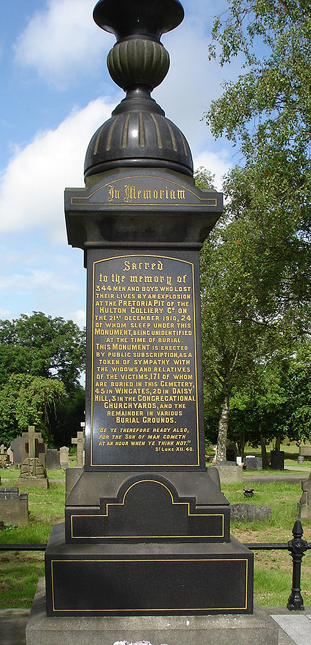
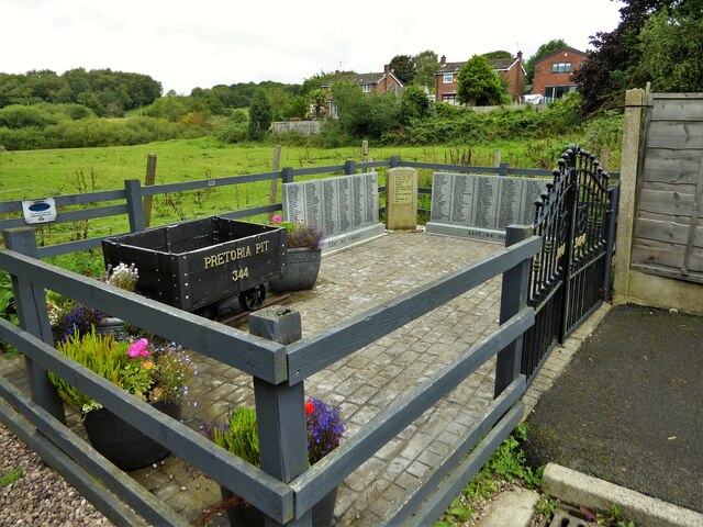
Pretoria Pit disaster
The Pretoria Pit disaster was a mining accident on 21 December 1910, when an underground explosion occurred at the Hulton Colliery Bank Pit No. 3, known...

Atherton Laburnum Rovers F.C.
Atherton Laburnum Rovers Football Club is a football club based in Atherton, Greater Manchester, England. Full members of the Lancashire County FA, they...

Over Hulton
Over Hulton is a suburb of Westhoughton within the Metropolitan Borough of Bolton, in Greater Manchester, England.Historically part of Lancashire, it...

Hag Fold railway station
Hag Fold railway station is one of the local stations that lie on the Atherton line, between Wigan and Manchester, England. The station is located 13 miles...

Atherton railway station
Atherton railway station (formerly Atherton Central) serves the town of Atherton, Greater Manchester, England. It lies on the line between Wigan and Manchester...

Atherton Town Hall
Atherton Town Hall is a municipal building in Bolton Road, Atherton, Greater Manchester, England. The town hall, which was the headquarters of Atherton...
Chequerbent railway station (Bolton and Leigh Railway)
Chequerbent railway station was a railway station in Westhoughton to the south-west of Bolton, Greater Manchester, on the line between Bolton and Leigh...

Chowbent Chapel
Chowbent Chapel is an active Unitarian place of worship in Atherton, Greater Manchester, England. It was built in 1721 and is the oldest place of worship...
Have you been to Mill Dam Wood?
Leave your review of Mill Dam Wood below (or comments, questions and feedback).