The Firs
Wood, Forest in Lancashire
England
The Firs

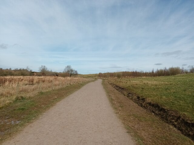
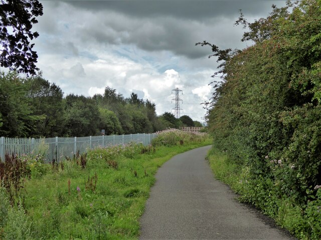
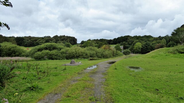
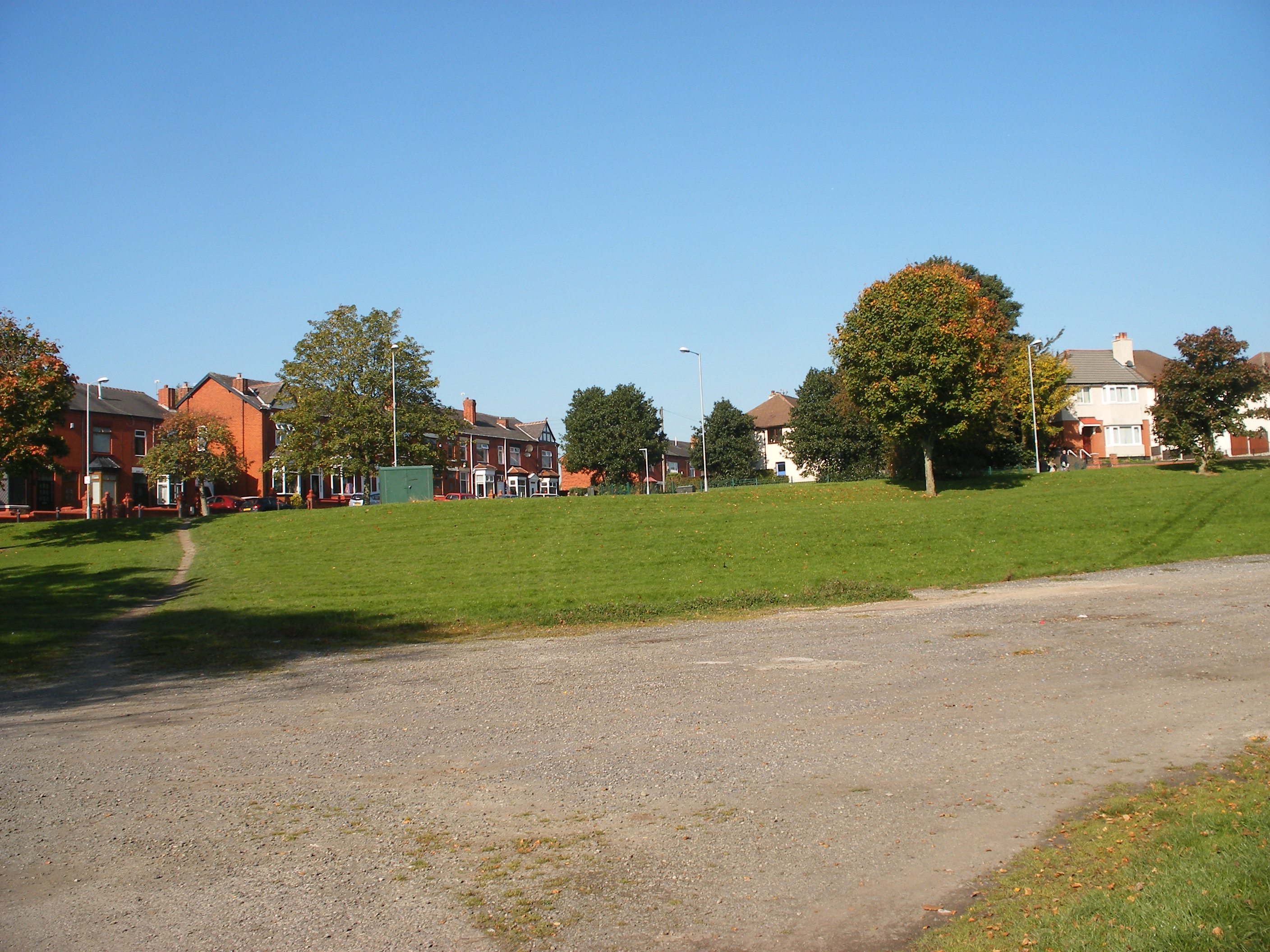
The Firs is a picturesque woodland located in Lancashire, England. Covering an area of approximately 100 acres, it is an enchanting forest that offers a tranquil and serene escape from the hustle and bustle of everyday life.
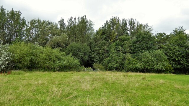
The woodland is primarily composed of a variety of tree species, including oak, beech, and birch. The towering trees create a dense canopy that filters the sunlight, creating a gentle and dappled atmosphere within the woods. The forest floor is covered with a thick layer of fallen leaves, providing a soft and cushioned path for visitors to explore.
The Firs is home to a diverse range of wildlife, including deer, squirrels, and a plethora of bird species. The bird songs can be heard throughout the forest, adding to its natural charm and beauty. The woodland also houses a small pond, which serves as a watering hole for the animals and attracts a variety of aquatic creatures.
The Firs is a popular destination for nature enthusiasts and outdoor lovers. It offers several well-marked walking trails, ranging from short and leisurely strolls to longer and more challenging hikes. These trails wind through the woodland, allowing visitors to immerse themselves in its natural splendor and discover hidden gems along the way.
Whether it's a peaceful retreat or an adventurous exploration, The Firs is a haven for those seeking solace in nature. Its beauty and tranquility make it a perfect destination for individuals, families, and nature lovers of all ages.
If you have any feedback on the listing, please let us know in the comments section below.
The Firs Images
Images are sourced within 2km of 53.5396/-2.473341 or Grid Reference SD6804. Thanks to Geograph Open Source API. All images are credited.


The Firs is located at Grid Ref: SD6804 (Lat: 53.5396, Lng: -2.473341)
Unitary Authority: Bolton
Police Authority: Greater Manchester
What 3 Words
///fuzzy.later.above. Near Atherton, Manchester
Nearby Locations
Related Wikis
Over Hulton
Over Hulton is a suburb of Westhoughton within the Metropolitan Borough of Bolton, in Greater Manchester, England.Historically part of Lancashire, it...
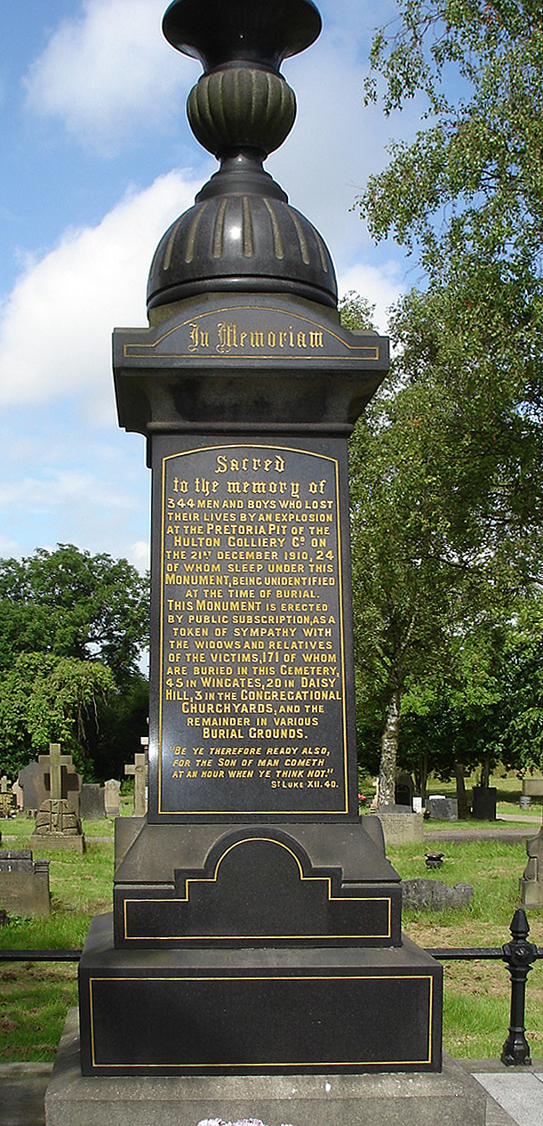
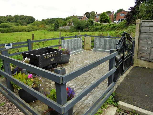
Pretoria Pit disaster
The Pretoria Pit disaster was a mining accident on 21 December 1910, when an underground explosion occurred at the Hulton Colliery Bank Pit No. 3, known...

Atherton Laburnum Rovers F.C.
Atherton Laburnum Rovers Football Club is a football club based in Atherton, Greater Manchester, England. Full members of the Lancashire County FA, they...

Atherton railway station
Atherton railway station (formerly Atherton Central) serves the town of Atherton, Greater Manchester, England. It lies on the line between Wigan and Manchester...
Peelwood Colliery
Peelwood Colliery was a coal mine operating on the Manchester Coalfield after 1883 in Shakerley, Tyldesley, Greater Manchester, then in the historic county...

Hag Fold railway station
Hag Fold railway station is one of the local stations that lie on the Atherton line, between Wigan and Manchester, England. The station is located 13 miles...
Middle Hulton
Middle Hulton was a township of the civil and ecclesiastical parish of Deane in the Salford hundred of Lancashire, England. It was located 3.5 miles (5...
Shakerley
Shakerley is a suburb of Tyldesley in the Metropolitan Borough of Wigan, Greater Manchester, England. It was anciently a hamlet in the northwest of the...
Nearby Amenities
Located within 500m of 53.5396,-2.473341Have you been to The Firs?
Leave your review of The Firs below (or comments, questions and feedback).