Hollins Wood
Wood, Forest in Lancashire Ribble Valley
England
Hollins Wood
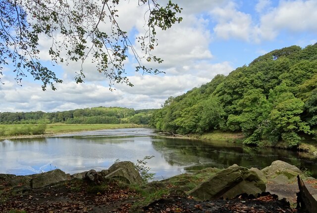
Hollins Wood is a picturesque woodland located in Lancashire, England. Situated in the region of Wood, it is widely recognized for its natural beauty and tranquil atmosphere. Covering an area of approximately 50 acres, it is a haven for nature enthusiasts and outdoor lovers alike.
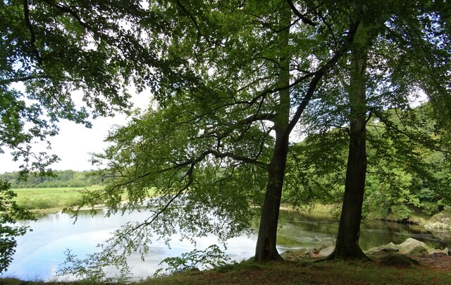
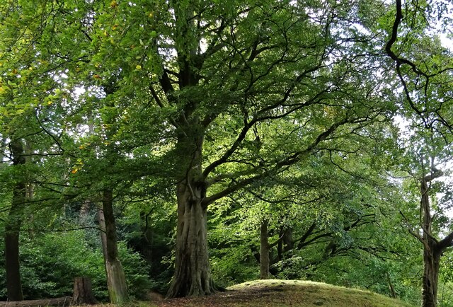
The wood is predominantly composed of a variety of deciduous trees, such as oak, beech, and birch. These trees create a dense canopy that provides shade and shelter for an array of flora and fauna. The forest floor is adorned with an assortment of wildflowers, ferns, and mosses, adding to the woodland's enchanting allure.
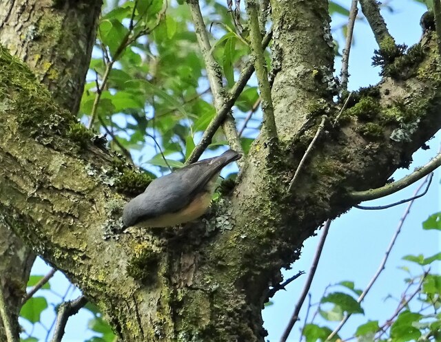
Hollins Wood is home to a diverse range of wildlife. Visitors may be lucky enough to spot native species such as deer, foxes, badgers, and a wide variety of bird species including woodpeckers and owls. The wood also acts as a vital habitat for numerous insects and small mammals.
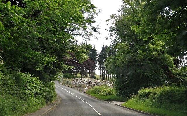
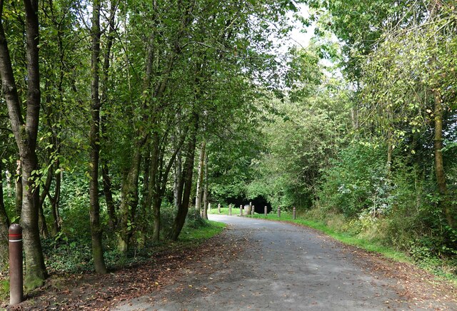
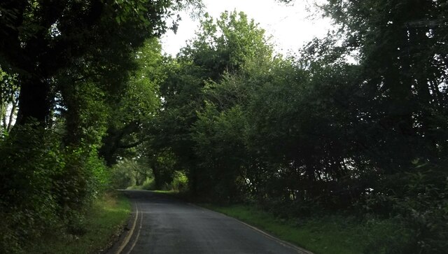
There are several well-maintained walking trails that wind through the wood, allowing visitors to explore its natural wonders. These paths are suitable for all abilities and offer opportunities for peaceful strolls or more challenging hikes. Along the way, visitors can enjoy the sights and sounds of nature, making it an ideal spot for relaxation and rejuvenation.
Hollins Wood is a popular destination for nature lovers and provides a welcome escape from the hustle and bustle of city life. Its idyllic setting, abundant wildlife, and well-maintained trails make it a must-visit location for anyone seeking a peaceful retreat in the heart of Lancashire.
If you have any feedback on the listing, please let us know in the comments section below.
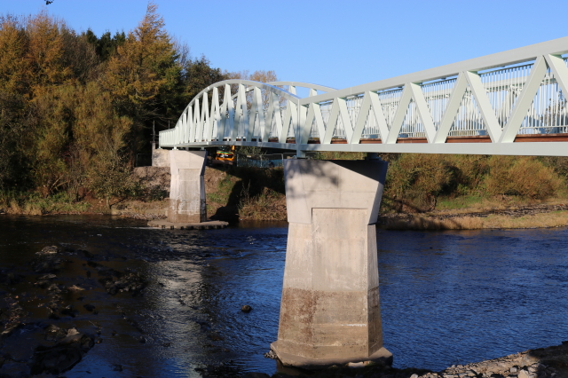
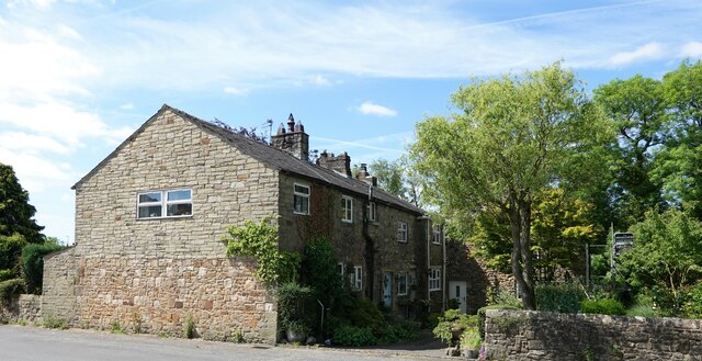
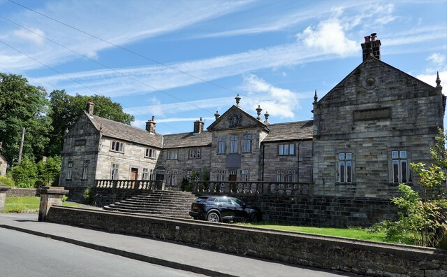
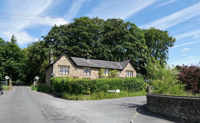
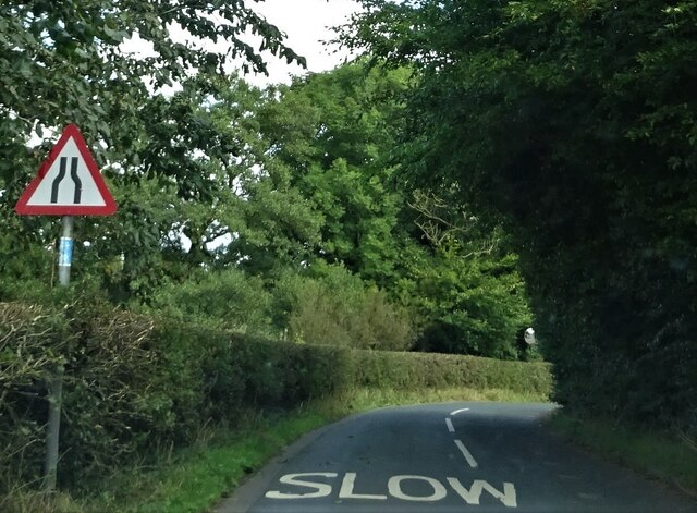
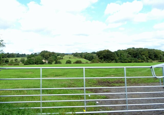
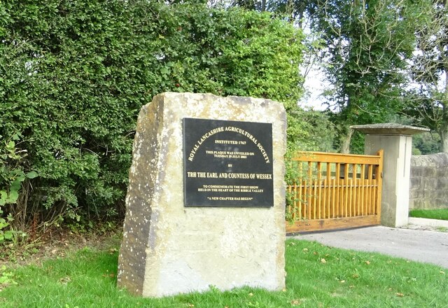
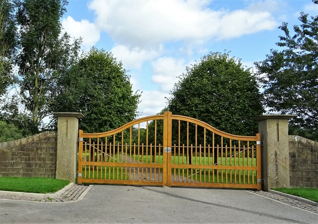
Hollins Wood Images
Images are sourced within 2km of 53.822154/-2.4847093 or Grid Reference SD6836. Thanks to Geograph Open Source API. All images are credited.

Hollins Wood is located at Grid Ref: SD6836 (Lat: 53.822154, Lng: -2.4847093)
Administrative County: Lancashire
District: Ribble Valley
Police Authority: Lancashire
What 3 Words
///sourcing.year.revamped. Near Langho, Lancashire
Nearby Locations
Related Wikis

Dinckley
Dinckley is a small village and civil parish located in the Ribble Valley, in Lancashire, England. Owing to the limited extent of the population details...

Dinckley Brook
Dinckley Brook is a minor river of Lancashire, England. The stream rises at the confluence of several minor watercourses at Wheatley Farm close to Copster...

Hurst Green, Lancashire
Hurst Green is a small village in the Ribble Valley district of Lancashire, England, connected in its history to the Jesuit school, Stonyhurst College...

Punch Bowl Inn
The Punch Bowl Inn was an 18th-century grade II-listed public house in Hurst Green, Ribble Valley, Lancashire, England. It consisted of a number of independent...

Old St Leonard's Church, Langho
Old St Leonard's Church is a redundant Anglican church 1 mile (1.6 km) northwest of the village of Langho, Lancashire, England. It is recorded in the...

Aighton, Bailey and Chaigley
Aighton, Bailey and Chaigley is a civil parish in the Borough of Ribble Valley in Lancashire, England, just west of Clitheroe. The population of the civil...

Brockhall Village
Brockhall Village is a gated community in the Ribble Valley, Lancashire, England. The village is in the civil parish of Billington and Langho and is 7...

Dutton, Lancashire
Dutton is a civil parish in the Borough of Ribble Valley in the English county of Lancashire, its principal settlement being the hamlet of Lower Dutton...
Related Videos

Walk 2 - Walking StonyHurst College via Dean Brook in Clitheroe - Footsteps of Tolkien all in 4K
This walk starts in the village of Hurst Green where you enter the first field via the road named "Smithy Row" with you entering the ...

Tolkien Trail Circular Hike | Lancashire Walk
Today, me and my family explore the Tolkien Trail in Lancashire. People come from all over the world to walk the famous Tolkien ...

The Tolkien Trail Hike | Forest of Bowland
Joined by my friend Vicki, we drove from Preston for about 30 minutes to the village of Hurst Green, near Clitheroe. Here there is a ...

The Tolkien Trail... Ventured and see if Tolkien was so inspired by this place
The Tolkien Trail | Hurst Green, Lancashire ☆ Famous 'Middle Earth' Walk: People come from all over the world to walk the ...
Nearby Amenities
Located within 500m of 53.822154,-2.4847093Have you been to Hollins Wood?
Leave your review of Hollins Wood below (or comments, questions and feedback).