Ash Coppice
Wood, Forest in Worcestershire Malvern Hills
England
Ash Coppice
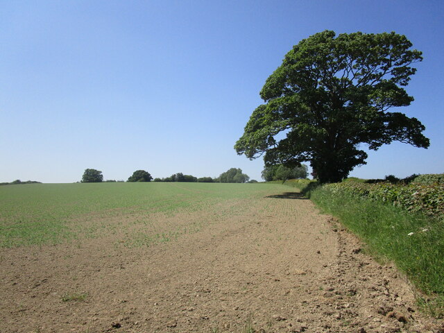
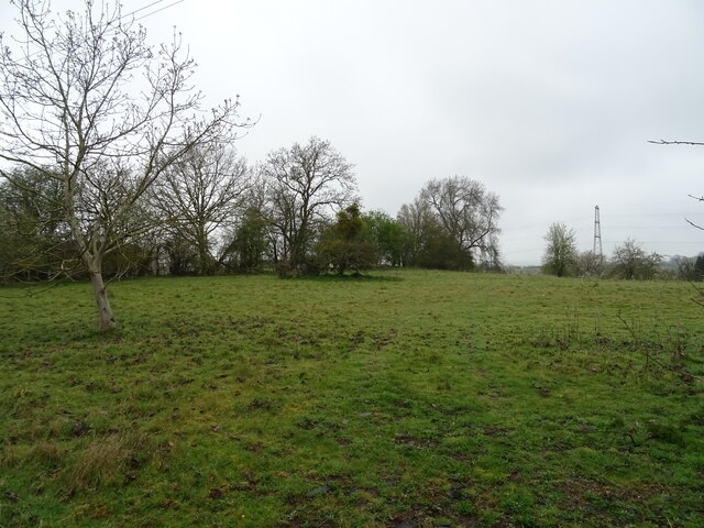
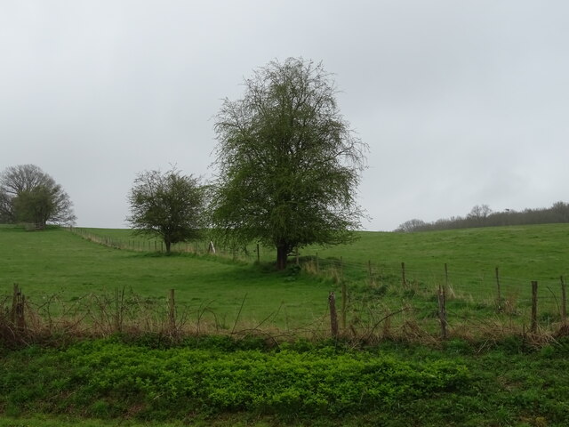
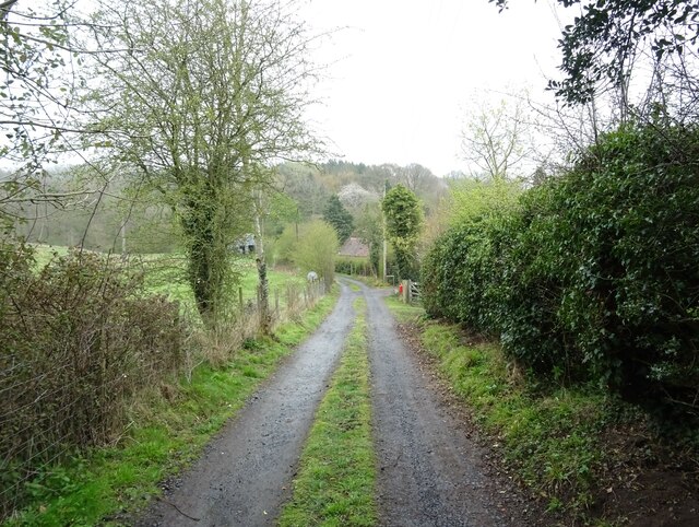
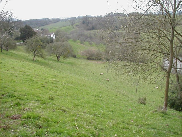
Ash Coppice is a small woodland located in Worcestershire, England. Spanning approximately 50 acres, it is nestled within the picturesque landscape of the county. The woodland is predominantly composed of ash trees, hence its name, which provide a dense and verdant canopy.
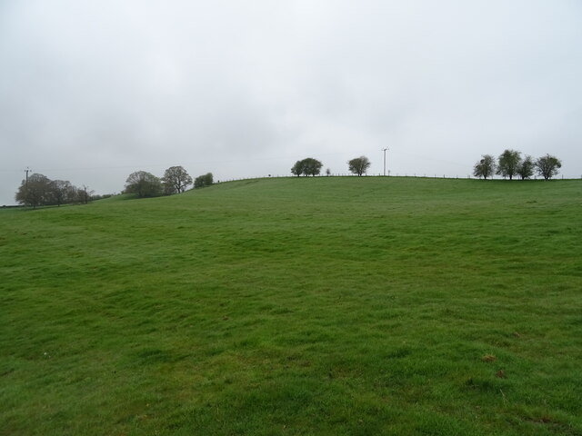
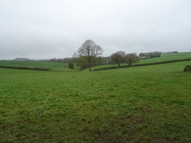
The forest boasts a rich biodiversity, with a variety of flora and fauna calling it home. The forest floor is covered in a lush carpet of ferns, bluebells, and wild garlic, creating a vibrant and colorful tapestry during the spring and summer months. The tall and majestic ash trees provide a haven for numerous bird species, including woodpeckers, owls, and various songbirds.
Ash Coppice is a popular destination for nature lovers and outdoor enthusiasts alike. It offers several walking trails, ranging from gentle strolls to more challenging hikes, allowing visitors to explore the woodland and immerse themselves in its natural beauty. The peaceful ambiance of the forest makes it an ideal spot for birdwatching, photography, or simply enjoying a picnic surrounded by nature.
The woodland is managed by the local authorities, ensuring its preservation and conservation. Efforts are made to maintain the delicate balance of the ecosystem and protect the diverse wildlife that resides within Ash Coppice. This commitment to sustainability and conservation has earned the woodland recognition as a Site of Special Scientific Interest (SSSI).
In conclusion, Ash Coppice is a captivating woodland in Worcestershire, offering a tranquil retreat for nature enthusiasts. With its stunning scenery, diverse wildlife, and well-maintained trails, it is a must-visit destination for those seeking a connection with nature in the heart of England.
If you have any feedback on the listing, please let us know in the comments section below.
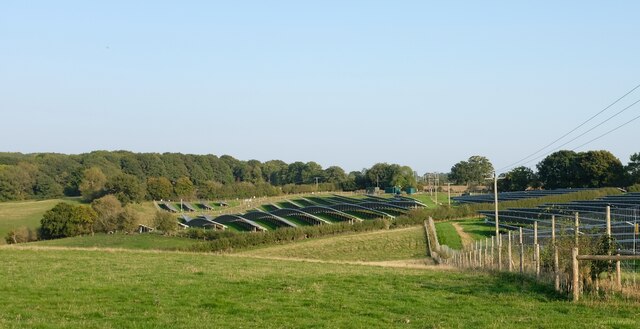
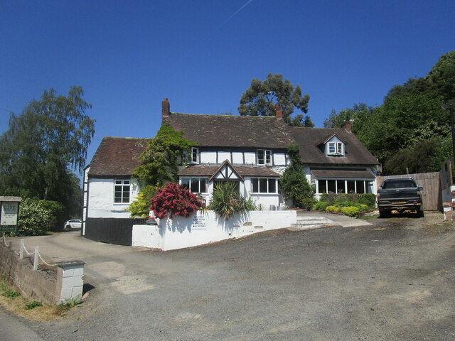
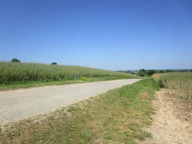
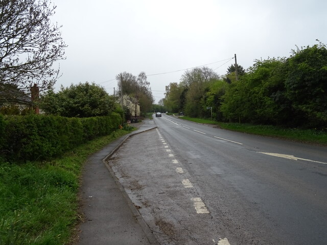
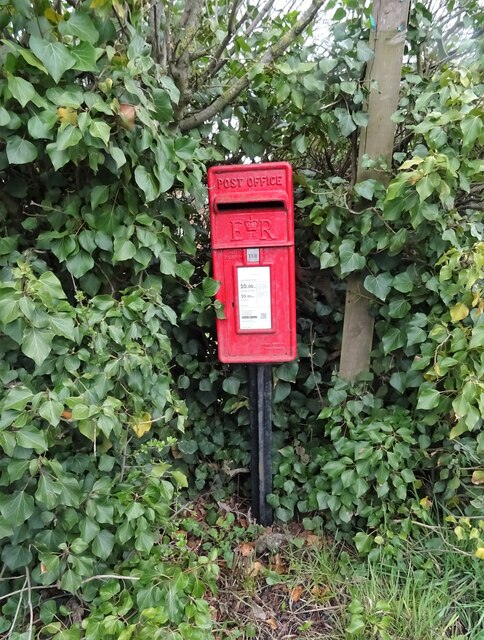
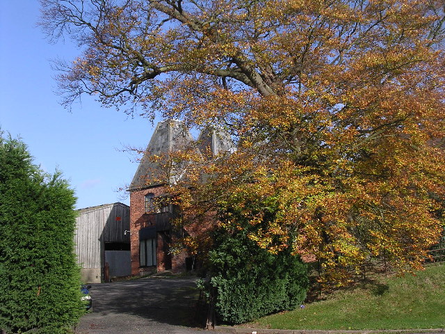
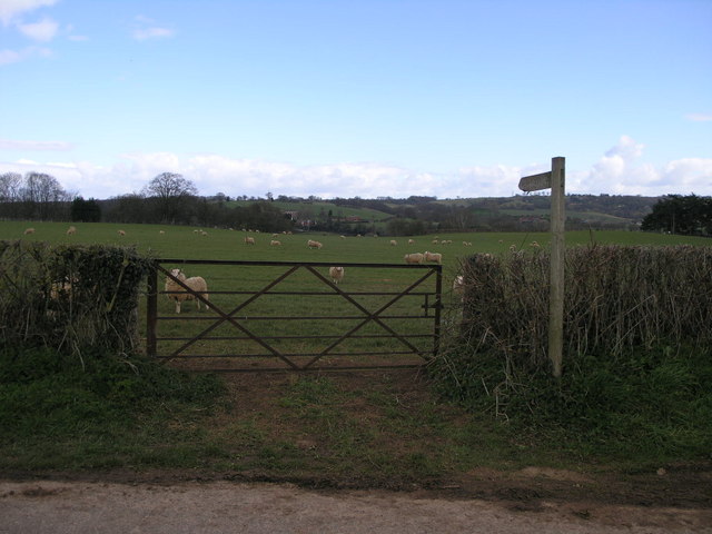
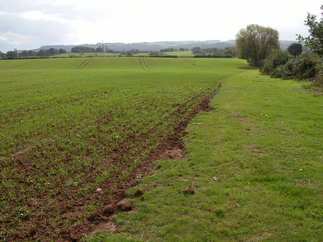
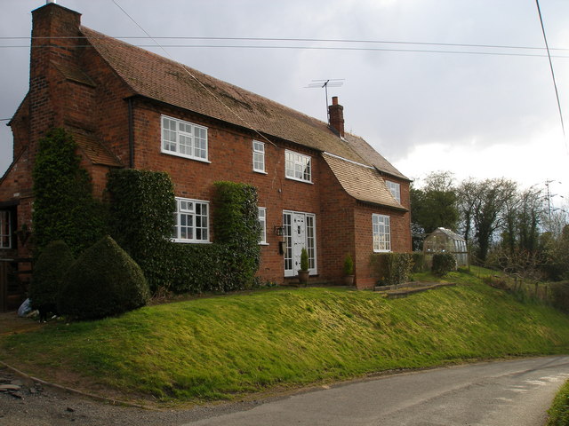
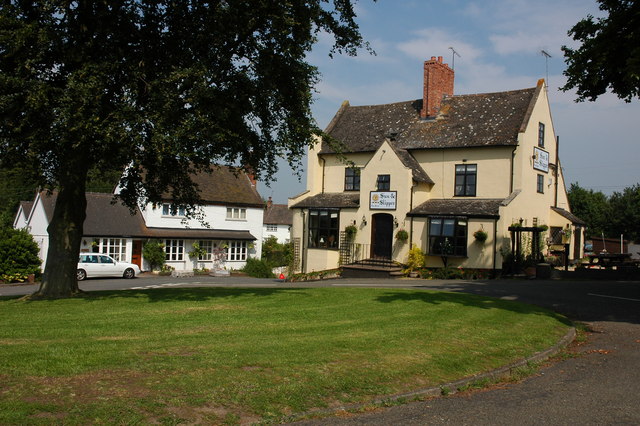
Ash Coppice Images
Images are sourced within 2km of 52.329193/-2.477991 or Grid Reference SO6770. Thanks to Geograph Open Source API. All images are credited.

Ash Coppice is located at Grid Ref: SO6770 (Lat: 52.329193, Lng: -2.477991)
Administrative County: Worcestershire
District: Malvern Hills
Police Authority: West Mercia
What 3 Words
///manifests.venturing.lecturers. Near Cleobury Mortimer, Shropshire
Nearby Locations
Related Wikis

Lindridge
Lindridge is a village and civil parish in the Malvern Hills District in the north of the county of Worcestershire, England, near the Shropshire border...
Marlbrook, Shropshire
Marlbrook is a hamlet in Shropshire, England, right on the border with Worcestershire. == References == The geographic coordinates are from the Ordnance...
Frith Common
Frith Common is a village in Worcestershire, England. Frith Common is a village on the north side of the Teme valley, in the parish of Lindridge. It consists...

Sodington Hall
Sodington Hall is an early 19th-century country house in the parish of Mamble in Worcestershire, England. The Grade II listed building was described by...
Mamble
Mamble is a village and civil parish in the Malvern Hills District in the county of Worcestershire, England. It is located on the A456 between Bewdley...
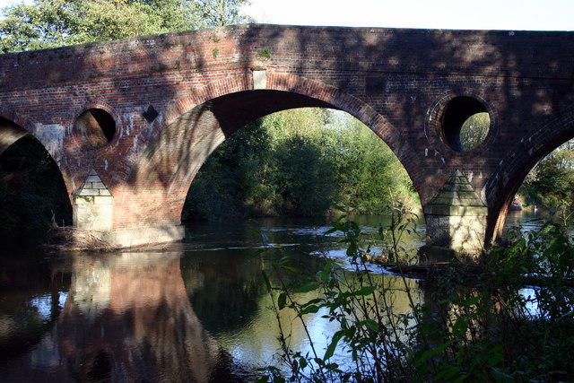
Eastham bridge
Eastham bridge was a Grade II listed bridge over the River Teme at Eastham, near Tenbury Wells, Worcestershire, England. Built as a toll bridge in 1793...

Neen Sollars railway station
Neen Sollars railway station was a station on the Tenbury & Bewdley railway in Neen Sollars, Shropshire, England. The station opened on 13 August 1864...

Neen Sollars
Neen Sollars is a village and civil parish in south east Shropshire, England. It is situated close to the border with Worcestershire, three miles south...
Nearby Amenities
Located within 500m of 52.329193,-2.477991Have you been to Ash Coppice?
Leave your review of Ash Coppice below (or comments, questions and feedback).