Footrid
Settlement in Worcestershire Malvern Hills
England
Footrid
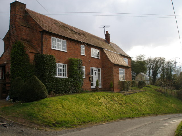
Footrid is a small village located in Worcestershire, England. Situated approximately 5 miles southeast of the town of Worcester, it falls within the administrative district of Malvern Hills. With a population of around 300 residents, the village has a close-knit and tight community.
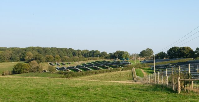
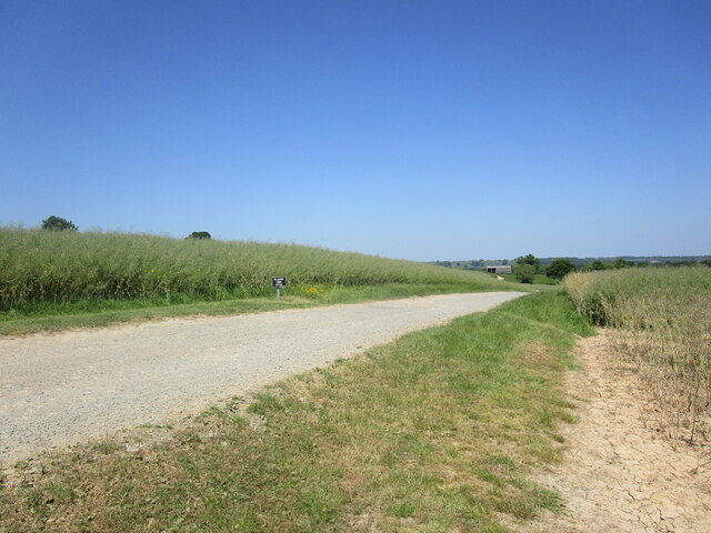
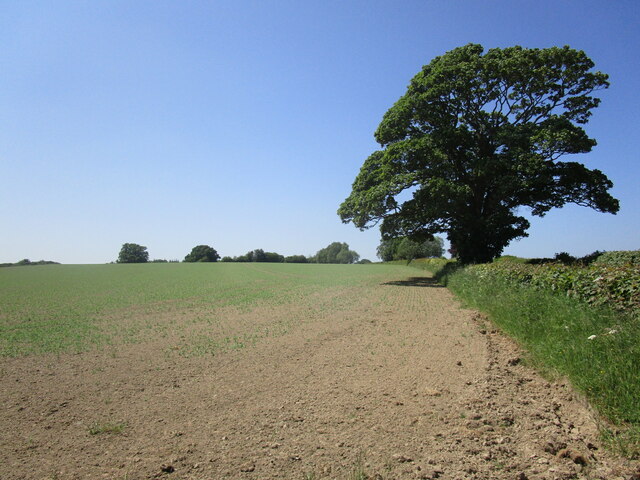
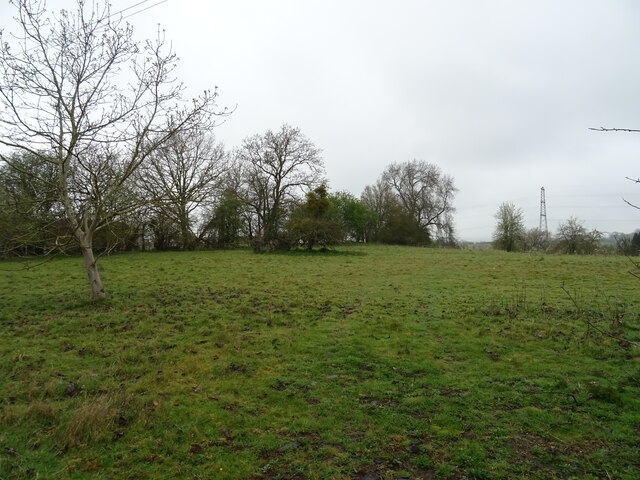
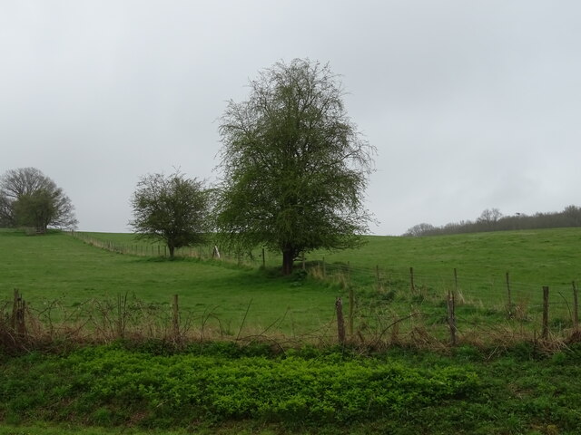
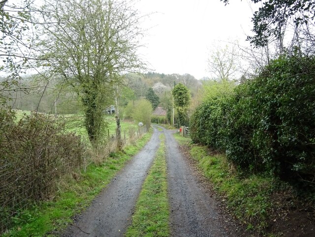
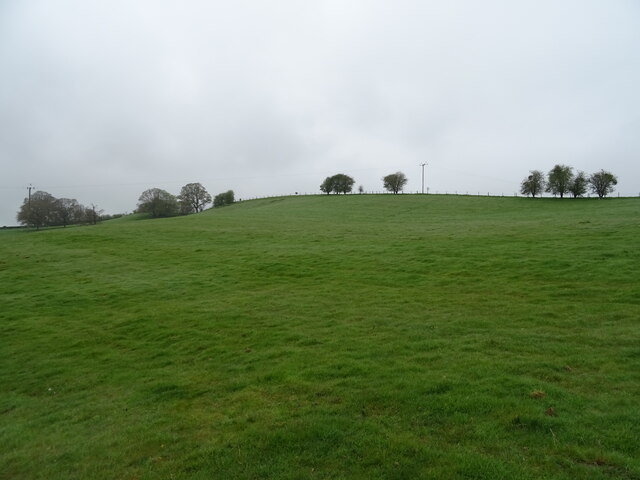
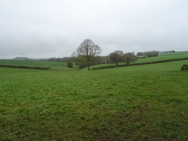
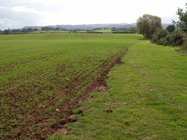
The village is surrounded by picturesque countryside, with rolling hills and lush green fields stretching as far as the eye can see. Footrid is renowned for its idyllic rural setting, offering a peaceful and tranquil environment for its residents. The village's charm is further enhanced by the presence of a small stream that meanders through the center, adding to the scenic beauty of the area.
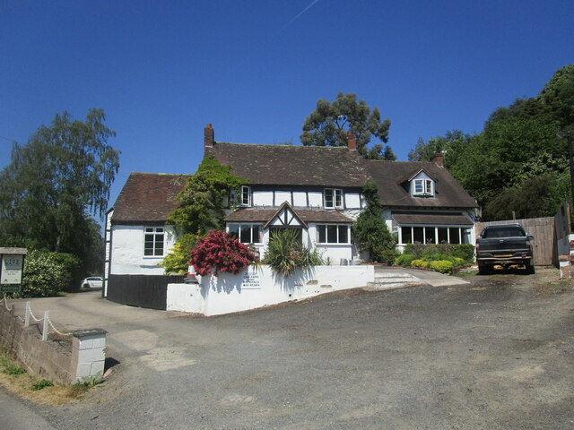
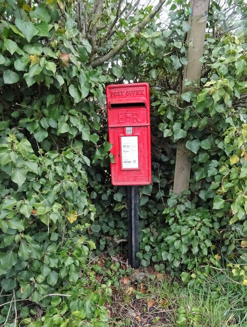
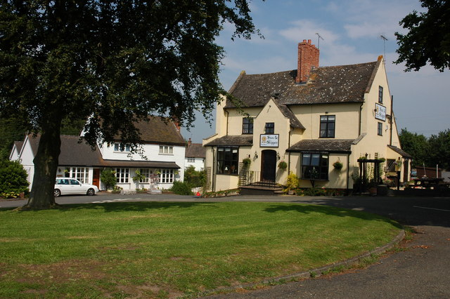
Despite its small size, Footrid boasts a few amenities to cater to the needs of its residents. These include a local convenience store, a post office, and a primary school, which serves the village and nearby areas. Additionally, there is a community center that hosts various events throughout the year, bringing the community together.
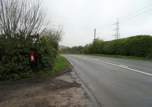
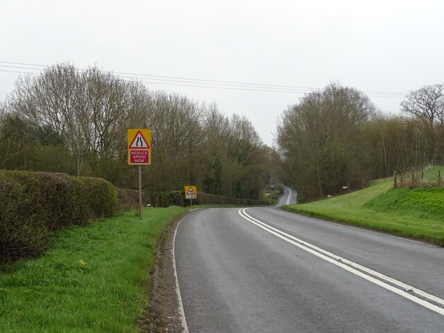
Footrid's location provides easy access to nearby towns and cities, with Worcester being the closest major urban center. Residents can enjoy the benefits of a rural lifestyle while still having the convenience of amenities and services within close proximity.
Overall, Footrid is a charming village that offers a peaceful and close-knit community in a beautiful countryside setting. Its idyllic location and range of amenities make it an attractive place to live for those seeking a quieter lifestyle away from the hustle and bustle of larger towns and cities.
If you have any feedback on the listing, please let us know in the comments section below.
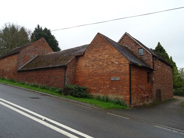
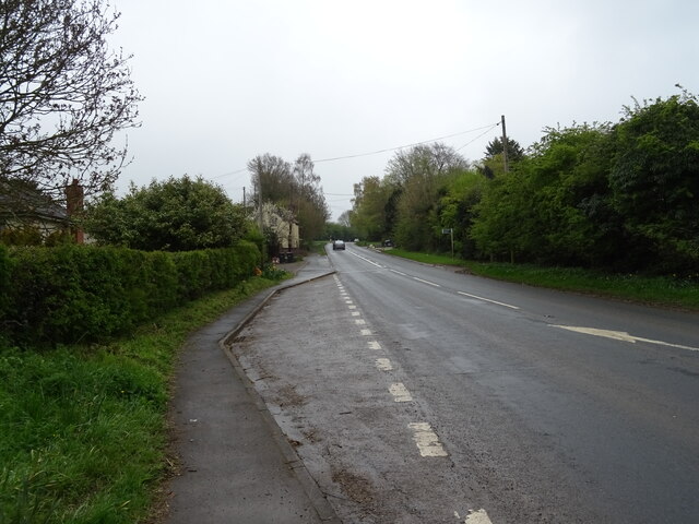
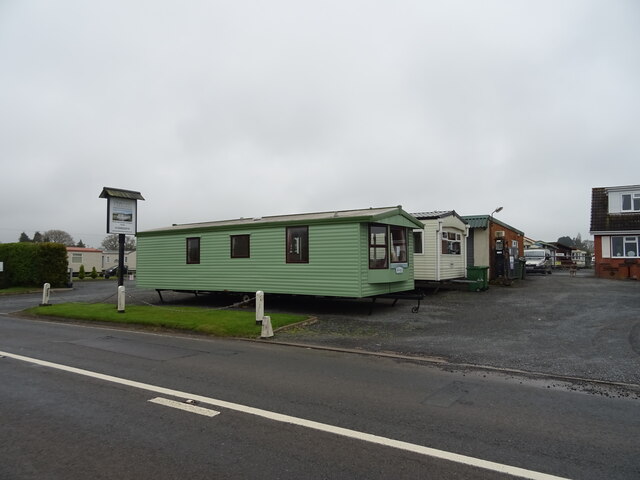
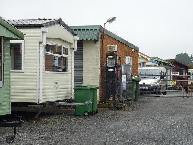
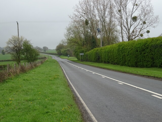
Footrid Images
Images are sourced within 2km of 52.332114/-2.474787 or Grid Reference SO6770. Thanks to Geograph Open Source API. All images are credited.

Footrid is located at Grid Ref: SO6770 (Lat: 52.332114, Lng: -2.474787)
Administrative County: Worcestershire
District: Malvern Hills
Police Authority: West Mercia
What 3 Words
///twit.circles.jeeps. Near Cleobury Mortimer, Shropshire
Nearby Locations
Related Wikis
Mamble
Mamble is a village and civil parish in the Malvern Hills District in the county of Worcestershire, England. It is located on the A456 between Bewdley...
Marlbrook, Shropshire
Marlbrook is a hamlet in Shropshire, England, right on the border with Worcestershire. == References == The geographic coordinates are from the Ordnance...

Sodington Hall
Sodington Hall is an early 19th-century country house in the parish of Mamble in Worcestershire, England. The Grade II listed building was described by...

Lindridge
Lindridge is a village and civil parish in the Malvern Hills District in the north of the county of Worcestershire, England, near the Shropshire border...
Frith Common
Frith Common is a village in Worcestershire, England. Frith Common is a village on the north side of the Teme valley, in the parish of Lindridge. It consists...

Neen Sollars railway station
Neen Sollars railway station was a station on the Tenbury & Bewdley railway in Neen Sollars, Shropshire, England. The station opened on 13 August 1864...

Neen Sollars
Neen Sollars is a village and civil parish in south east Shropshire, England. It is situated close to the border with Worcestershire, three miles south...
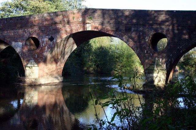
Eastham bridge
Eastham bridge was a Grade II listed bridge over the River Teme at Eastham, near Tenbury Wells, Worcestershire, England. Built as a toll bridge in 1793...
Nearby Amenities
Located within 500m of 52.332114,-2.474787Have you been to Footrid?
Leave your review of Footrid below (or comments, questions and feedback).