Gorse Wood
Wood, Forest in Cheshire
England
Gorse Wood
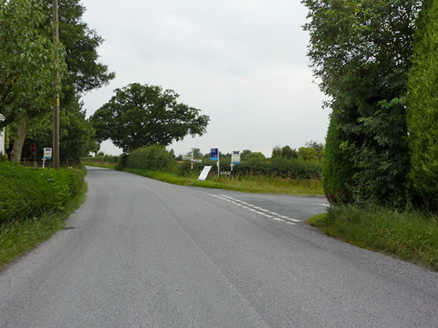
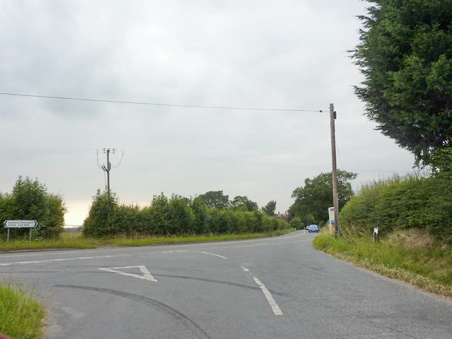
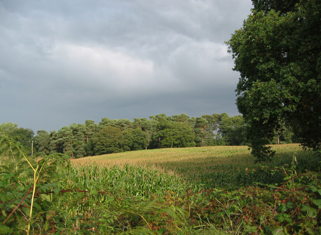
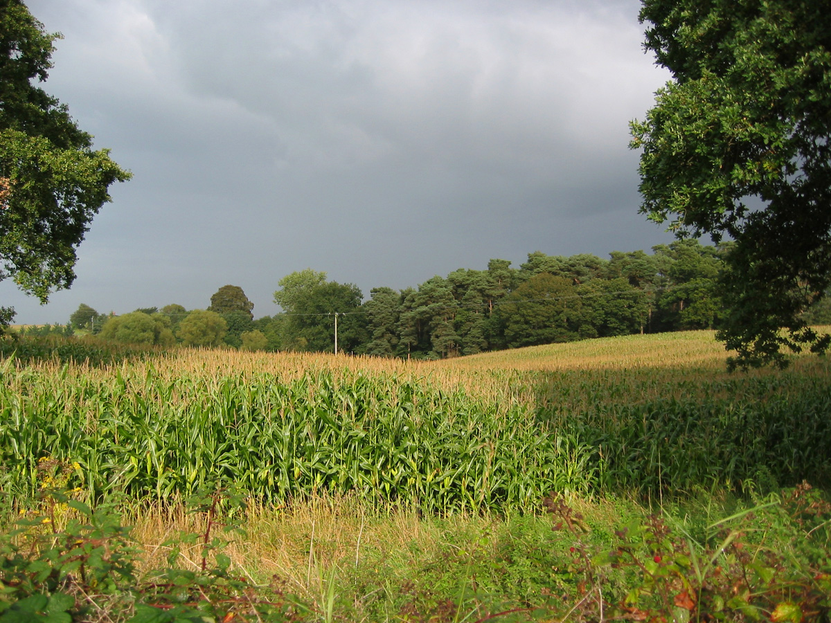
Gorse Wood is a picturesque woodland located in the county of Cheshire, England. It covers an area of approximately 50 acres and is nestled between the villages of High Legh and Lymm. The woodland is part of the larger Gorse Covert, which includes a mix of deciduous and evergreen trees, creating a diverse and rich ecosystem.
Gorse Wood is primarily composed of broadleaf trees such as oak, beech, and birch, which provide a dense canopy and create a tranquil and shaded environment. The forest floor is covered in a thick layer of leaf litter, providing a home for a variety of fauna including small mammals, insects, and birds.
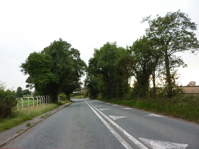
The woodland is crisscrossed with well-maintained footpaths, making it a popular destination for nature enthusiasts, walkers, and dog owners. These paths wind through the trees, offering visitors the chance to immerse themselves in the natural beauty of the forest and take in the sights and sounds of the wildlife that call Gorse Wood their home.
Gorse Wood also boasts a small stream that meanders through the forest, adding to its charm and providing a water source for the plants and animals that inhabit the area. The stream is lined with moss-covered rocks and provides a tranquil spot for visitors to relax and enjoy the peaceful surroundings.
Overall, Gorse Wood is a delightful woodland destination, offering a peaceful and serene environment for visitors to explore and enjoy the beauty of nature.
If you have any feedback on the listing, please let us know in the comments section below.
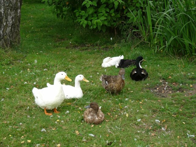
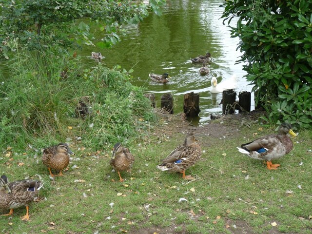
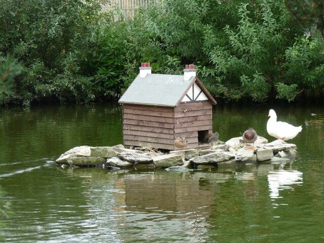
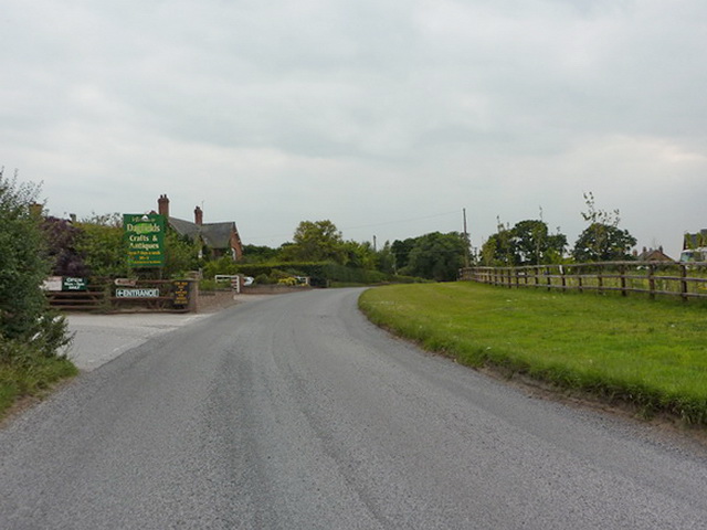
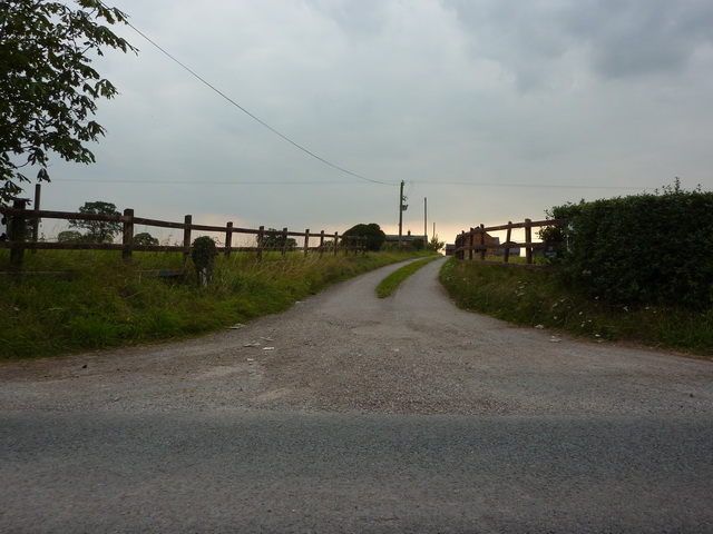
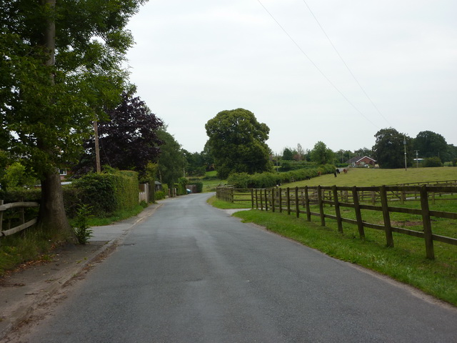
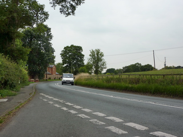
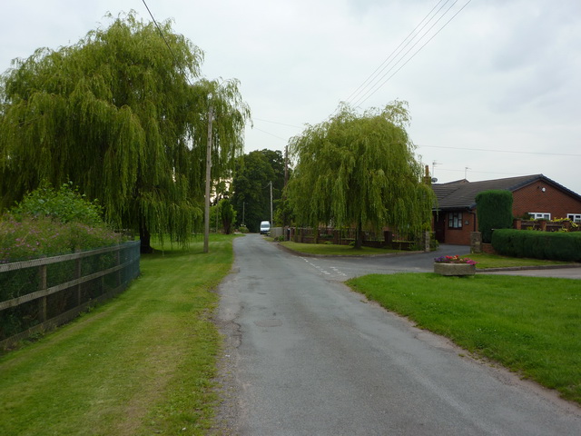
Gorse Wood Images
Images are sourced within 2km of 53.018028/-2.4855876 or Grid Reference SJ6746. Thanks to Geograph Open Source API. All images are credited.

Gorse Wood is located at Grid Ref: SJ6746 (Lat: 53.018028, Lng: -2.4855876)
Unitary Authority: Cheshire East
Police Authority: Cheshire
What 3 Words
///richer.inner.tadpole. Near Audlem, Cheshire
Nearby Locations
Related Wikis

Hankelow Hall
Hankelow Hall is a former country house to the north of the village of Hankelow, Cheshire, England. == History == The present house dates from the early...
Hatherton, Cheshire
Hatherton is a hamlet and civil parish in the unitary authority of Cheshire East and the ceremonial county of Cheshire, England. The hamlet is on the B5071...

Ball Farm
Ball Farm is the oldest surviving building in the village of Hankelow, near Audlem in Cheshire, England, and is thought to date from 1510. Most of its...

Hankelow
Hankelow is a village and civil parish in the unitary authority of Cheshire East and the ceremonial county of Cheshire, England. The village lies on the...

Hatherton Flush
Hatherton Flush is a Site of Special Scientific Interest (SSSI) by the River Weaver in Hatherton, near Wybunbury, Cheshire, England. It is protected for...

South Cheshire Way
The South Cheshire Way is a 34-mile (55 km) long-distance footpath running east–west mainly through Cheshire, England, although parts lie in Shropshire...
Coole Pilate
Coole Pilate is a civil parish in the unitary authority of Cheshire East and the ceremonial county of Cheshire, England, which lies to the north of Audlem...
Hunsterson
Hunsterson is a hamlet (at SJ697461) and former civil parish, now in the parish of Doddington and District, in the unitary authority area of Cheshire East...
Nearby Amenities
Located within 500m of 53.018028,-2.4855876Have you been to Gorse Wood?
Leave your review of Gorse Wood below (or comments, questions and feedback).