Piddle Wood

Wood, Forest in Dorset

England

Piddle Wood

Old Milestone by the UC road at Income Plantation Stone post (plate lost) by the UC road, in parish of CERNE ABBAS (WEST DORSET District), Buck Hill, South of bend, against hedge 4 metres back from road behind wide verge, on West side of road. Dorset 1 (limestone), erected by the Weymouth, Melcombe Regis & Dorchester turnpike trust in the 19th century. 

Inscription reads:-
6
DORCHESTER
SHERBORNE
12
Carved benchmark on top left face with rivet at top of apex.

Milestone Society National ID: DO_DOSB06
Old Milestone by the UC road at Income Plantation Credit: Colin Payne

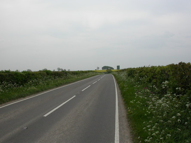
Piddle Wood is a picturesque forest located in the county of Dorset, England. Situated near the village of Piddlehinton, the wood spans an area of approximately 60 acres and is a popular destination for nature enthusiasts and hikers alike.

The wood is primarily composed of broadleaf trees, including oak, beech, and ash, which create a dense and enchanting canopy overhead. These trees, along with the lush understory vegetation, provide a habitat for a diverse array of wildlife, such as deer, rabbits, foxes, and a variety of bird species.

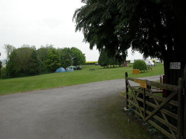
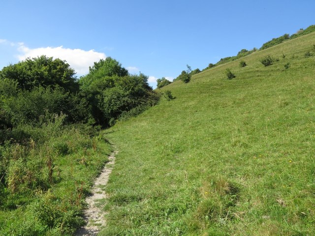
Numerous walking trails meander through Piddle Wood, offering visitors the opportunity to explore its natural beauty. These trails are well-maintained, clearly marked, and suitable for all levels of fitness. The peaceful ambiance, coupled with the tranquil sounds of birdsong and rustling leaves, creates a serene atmosphere for anyone seeking a break from the hustle and bustle of daily life.

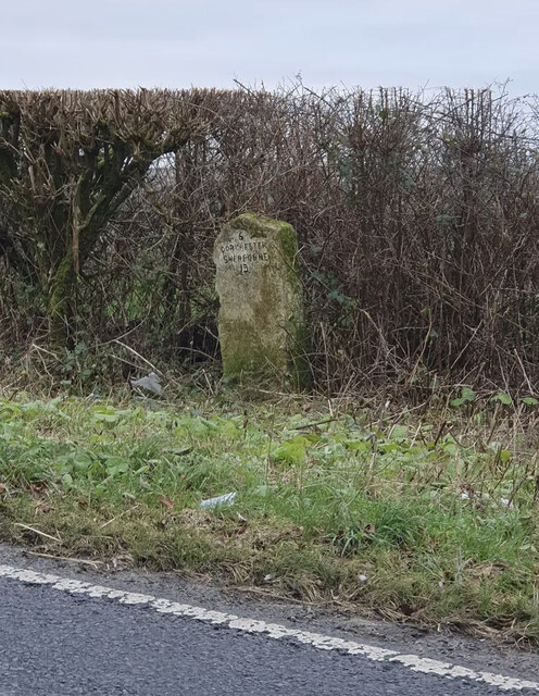
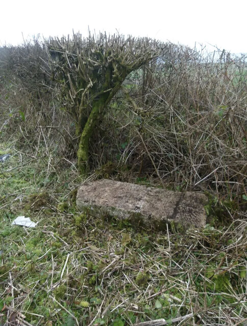
In addition to its natural allure, Piddle Wood also holds historical significance. It is believed that the wood has been in existence for centuries and has witnessed various human activities, including charcoal production during medieval times. Today, remnants of charcoal pits can still be seen within the forest, serving as a reminder of its past.

Overall, Piddle Wood offers a delightful escape into nature, providing visitors with a chance to immerse themselves in its beauty and tranquility. Whether one is seeking a leisurely stroll, wildlife spotting, or simply a moment of solitude, Piddle Wood in Dorset is a captivating destination worth exploring.

If you have any feedback on the listing, please let us know in the comments section below.
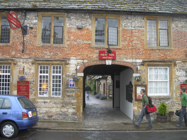
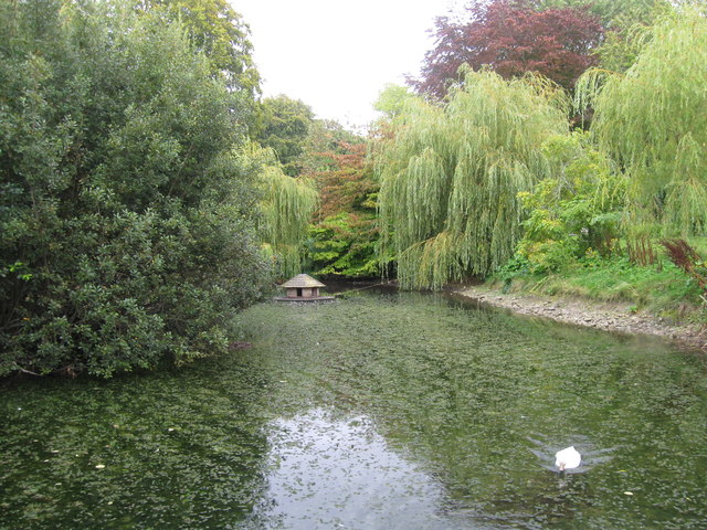
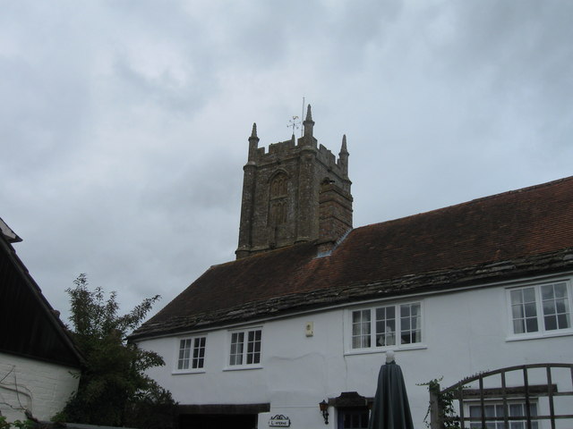
Piddle Wood Images

Images are sourced within 2km of 50.806826/-2.4624355 or Grid Reference ST6700. Thanks to Geograph Open Source API. All images are credited.

Old Milestone by the UC road at Income Plantation Stone post (plate lost) by the UC road, in parish of CERNE ABBAS (WEST DORSET District), Buck Hill, South of bend, against hedge 4 metres back from road behind wide verge, on West side of road. Dorset 1 (limestone), erected by the Weymouth, Melcombe Regis & Dorchester turnpike trust in the 19th century. 

Inscription reads:-
6
DORCHESTER
SHERBORNE
12
Carved benchmark on top left face with rivet at top of apex.

Milestone Society National ID: DO_DOSB06
Old Milestone by the UC road at Income Plantation
Stone post (plate lost) by the UC road, in parish of CERNE ABBAS (WEST DORSET District), Buck Hill, South of bend, against hedge 4 metres back from road behind wide verge, on West side of road. Dorset 1 (limestone), erected by the Weymouth, Melcombe Regis & Dorchester turnpike trust in the 19th century. Inscription reads:- 6 DORCHESTER SHERBORNE 12 Carved benchmark on top left face with rivet at top of apex. Milestone Society National ID: DO_DOSB06
Minterne Parva, camp site Giants Head Caravan & Camping Park. <span class="nowrap"><a title="http://www.giantshead.co.uk/" rel="nofollow ugc noopener" href="http://www.giantshead.co.uk/">Link</a><img style="margin-left:2px;" alt="External link" title="External link - shift click to open in new window" src="https://s1.geograph.org.uk/img/external.png" width="10" height="10"/></span>
Minterne Parva, camp site
Giants Head Caravan & Camping Park. LinkExternal link
Minterne Parva, Old Sherborne Road The earlier route from Dorchester to Sherborne, meeting the roughly parallel A352 at Middlemarsh; often less busy than its neighbour, and enjoying good views down into the neighbouring valleys.
Minterne Parva, Old Sherborne Road
The earlier route from Dorchester to Sherborne, meeting the roughly parallel A352 at Middlemarsh; often less busy than its neighbour, and enjoying good views down into the neighbouring valleys.
Cerne Abbas Giant - 1987 The Cerne Abbas giant aka the Rude Man or the Rude Giant, is a hill figure of a giant naked man on a hillside near the village of Cerne Abbas, to the north of Dorchester, in Dorset, England. The 55 m high, 51 m wide figure is carved into the side of a steep hill, and is best viewed from the opposite side of the valley or from the air. The carving is formed by a trench 30 cm wide, and about the same depth, which has been cut through grass and earth into the underlying chalk. In his right hand the giant holds a knobbled club 37 m in length. A 1996 study found that some features of the image have changed over time; notably, the study concluded that the figure originally held a cloak in its left arm and stood over a disembodied head. The figure's origin and age is unknown.
Cerne Abbas Giant - 1987
The Cerne Abbas giant aka the Rude Man or the Rude Giant, is a hill figure of a giant naked man on a hillside near the village of Cerne Abbas, to the north of Dorchester, in Dorset, England. The 55 m high, 51 m wide figure is carved into the side of a steep hill, and is best viewed from the opposite side of the valley or from the air. The carving is formed by a trench 30 cm wide, and about the same depth, which has been cut through grass and earth into the underlying chalk. In his right hand the giant holds a knobbled club 37 m in length. A 1996 study found that some features of the image have changed over time; notably, the study concluded that the figure originally held a cloak in its left arm and stood over a disembodied head. The figure's origin and age is unknown.
Cerne Abbas Flood Defences This dam is built across the valley just upstream of the village . At the far end is a sluice gate which can be closed preventing flood waters coming down into the village. The waters are allowed to build up behind the dam and form a lake in the meadows on the left, and the waters are then slowly released. In the background can be seen the Cerne Abbas Giant. the cars on the right are in the Village hall Car park.
Cerne Abbas Flood Defences
This dam is built across the valley just upstream of the village . At the far end is a sluice gate which can be closed preventing flood waters coming down into the village. The waters are allowed to build up behind the dam and form a lake in the meadows on the left, and the waters are then slowly released. In the background can be seen the Cerne Abbas Giant. the cars on the right are in the Village hall Car park.
Cerne Abbas Flood defences This shows the dam in the background and the sluice gate and spillway which are used to control the stream in times of flood.
Cerne Abbas Flood defences
This shows the dam in the background and the sluice gate and spillway which are used to control the stream in times of flood.
Long Street, Cerne Abbas, in the wet
The New Inn, Cerne Abbas
The Giant, Cerne Abbas
Duck pond, Cerne Abbas
St Mary's Church, Cerne Abbas
The Giant, Cerne Abbas
The Giant, Cerne Abbas, Dorset As seen from the viewpoint.
The Giant, Cerne Abbas, Dorset
As seen from the viewpoint.
The Giant, Cerne Abbas, Dorset As seen from the viewpoint.
The Giant, Cerne Abbas, Dorset
As seen from the viewpoint.
Information Board, Cerne Abbas, Dorset Information board about the Giant figure on the hill.
Information Board, Cerne Abbas, Dorset
Information board about the Giant figure on the hill.
The Cerne Giant View of the "Rude Man" carved into the hillside above Cerne Abbas. It has been mooted to date back to Celtic British times but research published in 2021 dates the figure to the Saxon age C7-C11.
<span class="nowrap"><a title="http://en.wikipedia.org/wiki/Cerne_Abbas_Giant" rel="nofollow ugc noopener" href="http://en.wikipedia.org/wiki/Cerne_Abbas_Giant">Link</a><img style="margin-left:2px;" alt="External link" title="External link - shift click to open in new window" src="https://s1.geograph.org.uk/img/external.png" width="10" height="10"/></span>
The Cerne Giant
View of the "Rude Man" carved into the hillside above Cerne Abbas. It has been mooted to date back to Celtic British times but research published in 2021 dates the figure to the Saxon age C7-C11. LinkExternal link
Show me another place!

Piddle Wood is located at Grid Ref: ST6700 (Lat: 50.806826, Lng: -2.4624355)

Unitary Authority: Dorset

Police Authority: Dorset

What 3 Words

///voter.depending.reported. Near Charminster, Dorset

Related Wikis

Black Hill Down

Black Hill Down (grid reference ST668005) is a 71.84 hectare biological Site of Special Scientific Interest in Dorset, notified in 1989. == Sources... ==

Cerne Abbey

Cerne Abbey was a Benedictine monastery founded in 987 in the town now called Cerne Abbas, Dorset, by Æthelmær the Stout. == History == The abbey was founded...
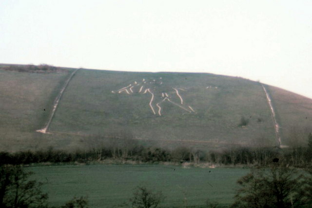
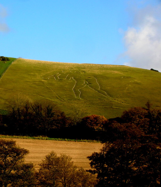
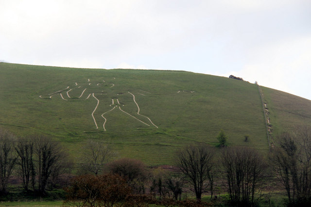
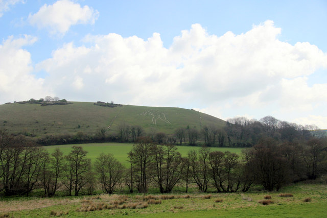
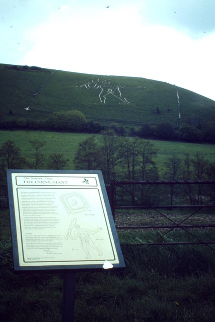
Cerne Abbas Giant

The Cerne Abbas Giant is a hill figure near the village of Cerne Abbas, in Dorset, England. It is currently owned by the National Trust, and listed as...
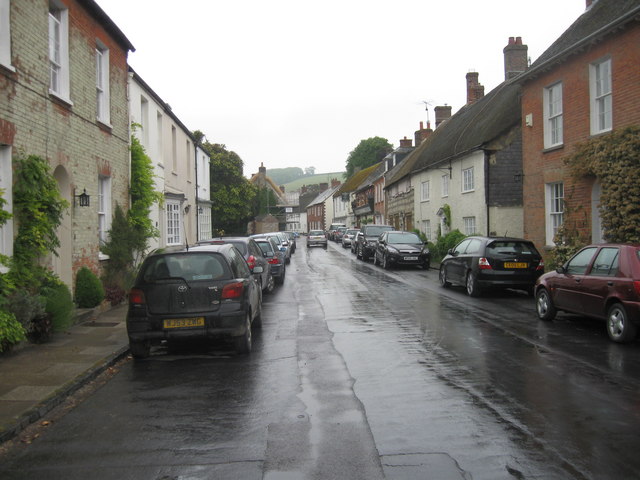
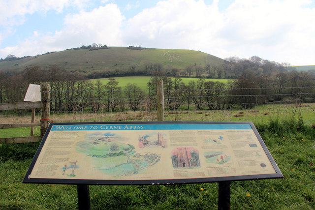
Cerne Abbas

Cerne Abbas () is a village and civil parish in the county of Dorset in southern England. It lies in the Dorset Council administrative area in the Cerne...

Nearby Amenities

Located within 500m of 50.806826,-2.4624355
The data included in this document is from www.openstreetmap.org. The data is made available under ODbL.

Have you been to Piddle Wood?

Leave your review of Piddle Wood below (or comments, questions and feedback).