Walltown Wood
Wood, Forest in Northumberland
England
Walltown Wood
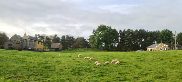
Walltown Wood is located in Northumberland, England, and is a picturesque forest that covers an area of approximately 100 hectares. Situated near the village of Greenhead, this woodland is part of the broader Northumberland National Park, renowned for its stunning natural beauty and rich biodiversity.
The wood is predominantly composed of native tree species, including oak, birch, and beech, which create a diverse and vibrant ecosystem. The dense canopy provides a habitat for a variety of wildlife, such as red squirrels, roe deer, and a multitude of bird species. The wood is also home to a range of flora, including bluebells, wild garlic, and foxgloves, which add vibrant colors to the landscape throughout the seasons.
Walltown Wood offers visitors a tranquil and immersive experience in nature. There are several walking trails that wind through the forest, allowing visitors to explore the wood at their own pace. Along the paths, there are information boards providing insight into the local flora and fauna, enhancing the educational value of the wood.
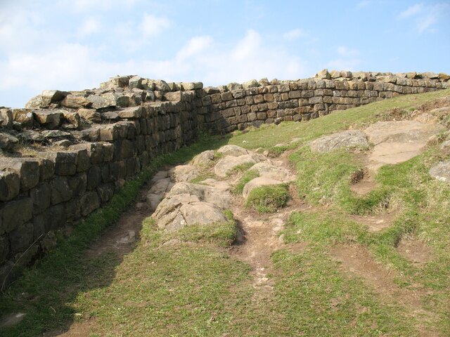
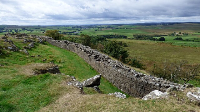
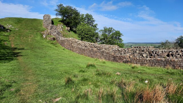
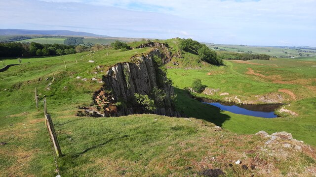
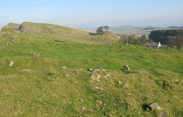
Additionally, adjacent to Walltown Wood is Hadrian's Wall, a UNESCO World Heritage Site. This ancient Roman fortification attracts many tourists, who often extend their visit to include a walk through the enchanting Walltown Wood.
Overall, Walltown Wood is a beautiful and biodiverse woodland, offering visitors a chance to connect with nature, learn about the local ecosystem, and explore the historic surroundings of Hadrian's Wall.
If you have any feedback on the listing, please let us know in the comments section below.
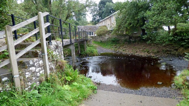
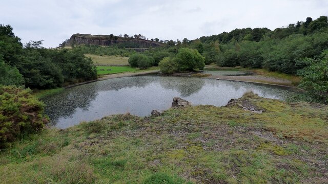
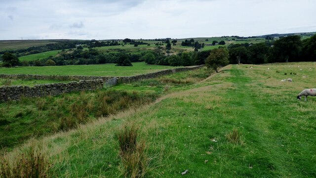
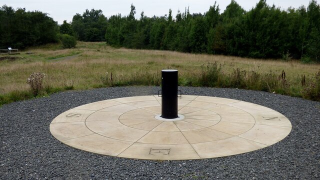
Walltown Wood Images
Images are sourced within 2km of 54.988145/-2.5091978 or Grid Reference NY6766. Thanks to Geograph Open Source API. All images are credited.

Walltown Wood is located at Grid Ref: NY6766 (Lat: 54.988145, Lng: -2.5091978)
Unitary Authority: Northumberland
Police Authority: Northumbria
What 3 Words
///gently.fussed.argue. Near Greenhead, Northumberland
Nearby Locations
Related Wikis
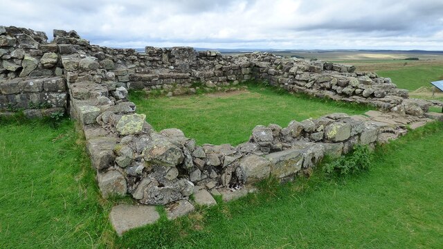
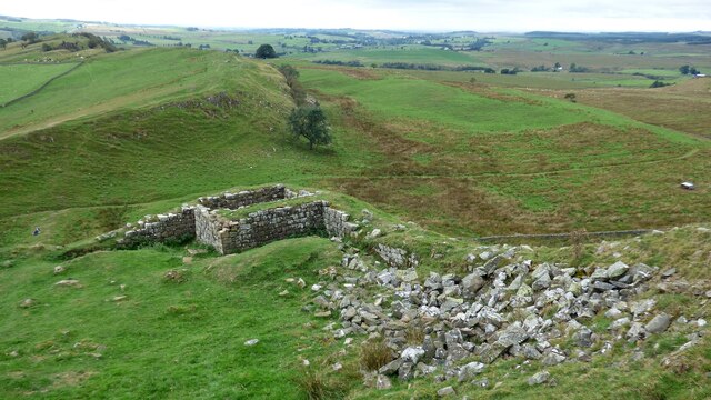
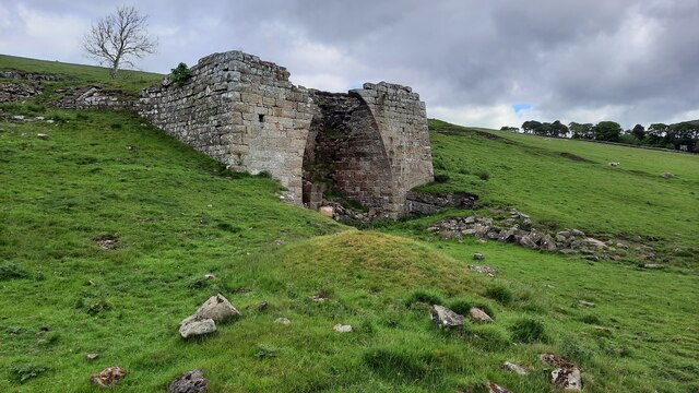
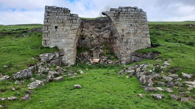
Milecastle 45
Milecastle 45 (Walltown) was a milecastle on Hadrian's Wall (grid reference NY67716657). == Description == Milecastle 45 is on the top of Walltown Crags...

Alloa Lea Quarry Cave
Alloa Lea Quarry Cave is a short cave in the Five Yard Limestone of the Alston Block in Northumberland, England. It is situated in an old quarry on the...

Magnis (Carvoran)
Magnis or Magna was a Roman fort on Hadrian's Wall in northern Britain. Its ruins are now known as Carvoran Roman Fort and are located near Carvoran, Northumberland...

Milecastle 46
Milecastle 46 (Carvoran) was a milecastle on Hadrian's Wall (grid reference NY66466601). == Description == Milecastle 46 is just west of the Vallum deviation...

Greenhead, Northumberland
Greenhead is a village in Northumberland, England. The village is on the Military Road (B6318), about 17 miles (27 km) from Chollerford, 3 miles (5 km...

Northumbria
Northumbria (; Old English: Norþanhymbra rīċe; Latin: Regnum Northanhymbrorum) was an early medieval Anglo-Saxon kingdom in what is now Northern England...
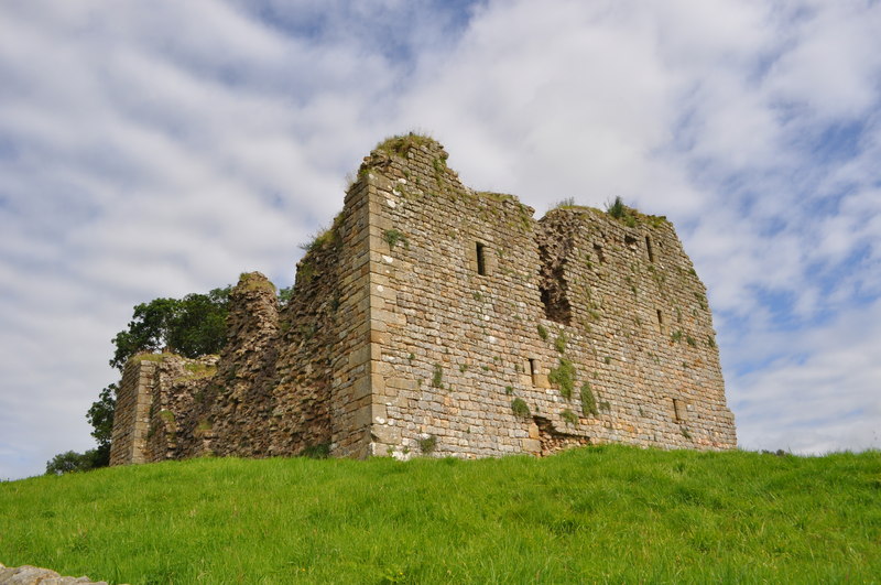
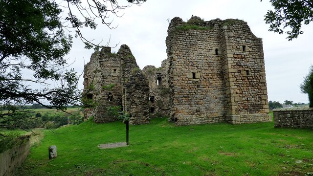
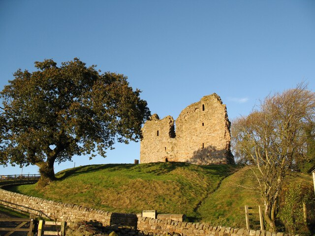
Thirlwall Castle
Thirlwall Castle is a 12th-century castle in Northumberland, England, on the bank of the River Tipalt close to the village of Greenhead and approximately...
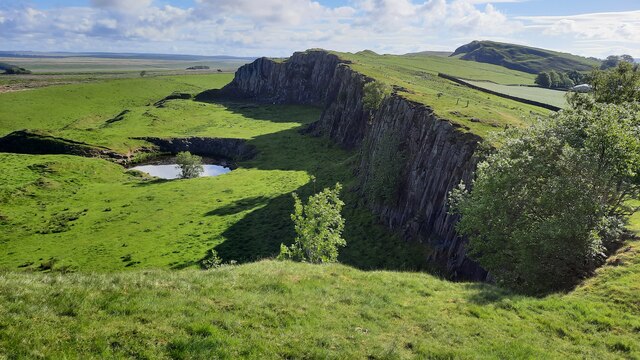
Allolee to Walltown
Allolee to Walltown is the name given to a Site of Special Scientific Interest (SSSI) in Northumberland, England. The site, which follows the path of a...
Nearby Amenities
Located within 500m of 54.988145,-2.5091978Have you been to Walltown Wood?
Leave your review of Walltown Wood below (or comments, questions and feedback).