Vane Coppice

Wood, Forest in Shropshire

England

Vane Coppice

The Iron Bridge
The Iron Bridge Credit: Anthony Parkes

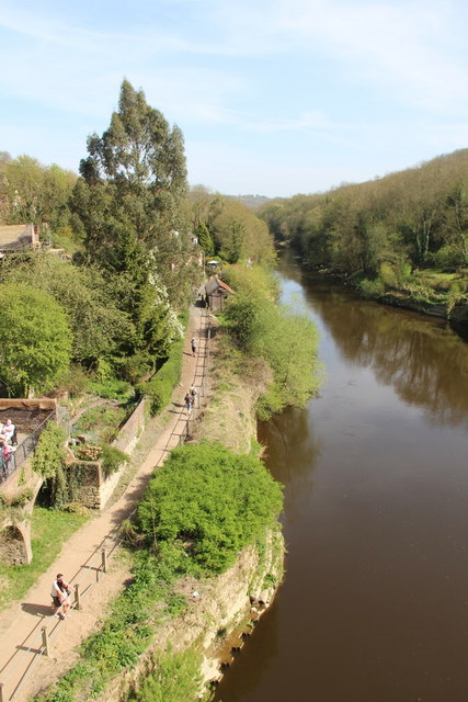
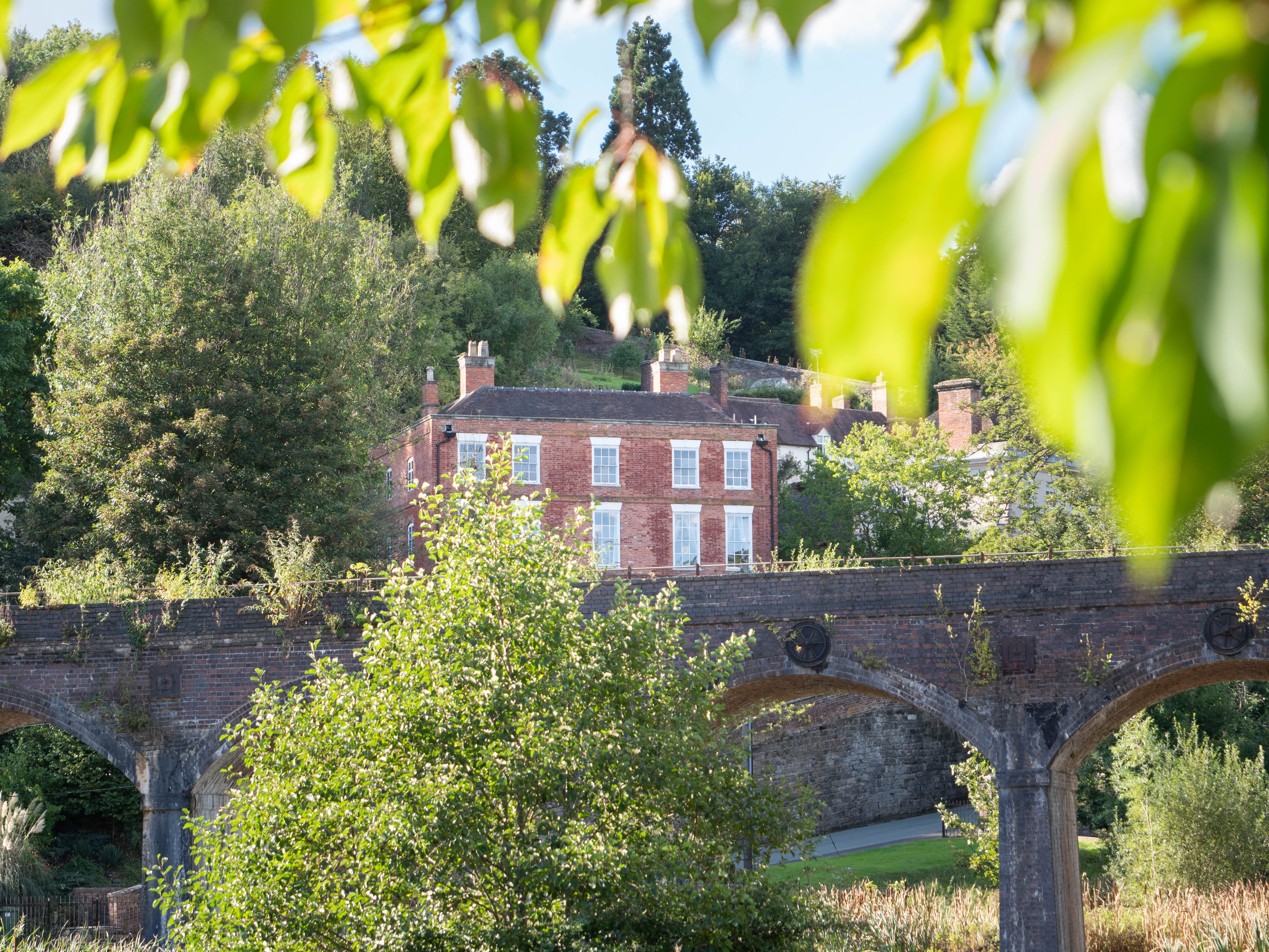
Vane Coppice is a picturesque woodland located in the county of Shropshire, England. Situated in the heart of the country, this serene forest covers an area of approximately 200 acres and is known for its diverse range of flora and fauna.

The coppice, which refers to a managed woodland where trees are periodically cut back to encourage new growth, is predominantly composed of deciduous trees such as oak, ash, and birch. These towering trees provide a dense canopy that shelters a variety of wildlife, including deer, badgers, and numerous bird species.

The forest is crisscrossed with a network of well-maintained trails, offering visitors the opportunity to explore its natural beauty on foot or by bike. The paths wind through the woodland, leading to hidden clearings, babbling brooks, and peaceful ponds. Along the way, there are several designated picnic areas, providing a perfect spot to rest and enjoy the tranquil surroundings.

Vane Coppice also boasts a rich history, with evidence of human activity dating back centuries. In medieval times, the woodland was an essential resource for the local population, providing timber for construction, fuel, and even grazing for livestock. Today, remnants of ancient boundaries and earthworks can still be seen, offering glimpses into the past.

The wood is managed by a dedicated team of conservationists who ensure its sustainability and protection. They actively engage in habitat restoration, tree planting, and wildlife conservation efforts, making Vane Coppice a thriving ecosystem and a haven for nature enthusiasts.

In conclusion, Vane Coppice in Shropshire is a captivating woodland, offering a peaceful retreat from the hustle and bustle of everyday life. With its diverse wildlife, scenic trails, and rich history, it is a must-visit destination for nature lovers and history enthusiasts alike.

If you have any feedback on the listing, please let us know in the comments section below.

Vane Coppice Images

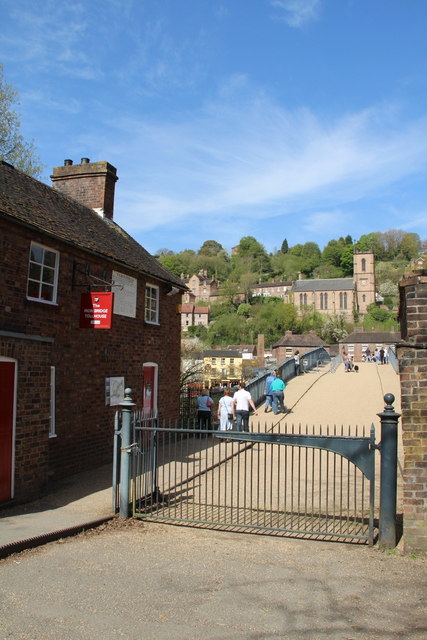
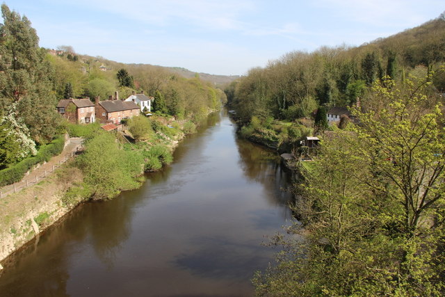
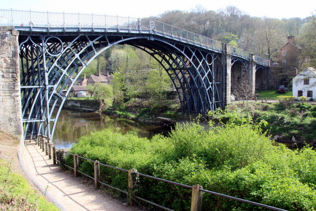
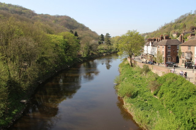
Images are sourced within 2km of 52.643007/-2.4892839 or Grid Reference SJ6605. Thanks to Geograph Open Source API. All images are credited.

The Iron Bridge
The Iron Bridge
River Severn at Ironbridge, Shropshire Looking through the arch of the bridge towards the south bank of the River Severn.
River Severn at Ironbridge, Shropshire
Looking through the arch of the bridge towards the south bank of the River Severn.
Iron Bridge over Severn Gorge, Shropshire As seen from the west side of the bridge.
Iron Bridge over Severn Gorge, Shropshire
As seen from the west side of the bridge.
Iron Bridge over Severn Gorge, Shropshire As seen from the north bank of the River Severn.
Iron Bridge over Severn Gorge, Shropshire
As seen from the north bank of the River Severn.
River Severn at Ironbridge, Shropshire As seen from the Iron Bridge when looking east.
River Severn at Ironbridge, Shropshire
As seen from the Iron Bridge when looking east.
Iron Bridge over Severn Gorge, Shropshire Close view of the iron bridge over the River Severn.
Iron Bridge over Severn Gorge, Shropshire
Close view of the iron bridge over the River Severn.
River Severn at Ironbridge, Shropshire Looking westwards along the north bank of the River Severn.
River Severn at Ironbridge, Shropshire
Looking westwards along the north bank of the River Severn.
Iron Bridge over Severn Gorge, Shropshire Looking along the east side of the bridge towards the south bank of the River Severn.
Iron Bridge over Severn Gorge, Shropshire
Looking along the east side of the bridge towards the south bank of the River Severn.
River Severn at Ironbridge, Shropshire Looking through the arch of the Iron Bridge towards the south bank of the River Severn.
River Severn at Ironbridge, Shropshire
Looking through the arch of the Iron Bridge towards the south bank of the River Severn.
Iron Bridge over Severn Gorge, Shropshire As seen from the north bank of the River Severn to the west of the bridge.
Iron Bridge over Severn Gorge, Shropshire
As seen from the north bank of the River Severn to the west of the bridge.
Toll Gate, Ironbridge, Shropshire As seen from the south side of the River Severn.
Toll Gate, Ironbridge, Shropshire
As seen from the south side of the River Severn.
River Severn at Ironbridge, Shropshire As seen when looking east from the bridge.
River Severn at Ironbridge, Shropshire
As seen when looking east from the bridge.
Iron Bridge over Severn Gorge, Shropshire As seen from the north side of the River Severn to the east of the bridge.
Iron Bridge over Severn Gorge, Shropshire
As seen from the north side of the River Severn to the east of the bridge.
River Severn at Ironbridge, Shropshire As seen when looking west from the bridge.
River Severn at Ironbridge, Shropshire
As seen when looking west from the bridge.
Detail of Ironwork, Ironbridge, Shropshire Looking through the detailed structure of the iron bridge on the north bank of the River Severn.
Detail of Ironwork, Ironbridge, Shropshire
Looking through the detailed structure of the iron bridge on the north bank of the River Severn.
Iron Bridge over Severn Gorge, Shropshire As seen from the west side of the bridge on the upper walkway on the north side of the River Severn.
Iron Bridge over Severn Gorge, Shropshire
As seen from the west side of the bridge on the upper walkway on the north side of the River Severn.
Iron Bridge, Ironbridge, Shropshire Looking across the bridge towards the church.
Iron Bridge, Ironbridge, Shropshire
Looking across the bridge towards the church.
Iron Bridge over Severn Gorge, Shropshire As seen from the north bank to the east of the bridge.
Iron Bridge over Severn Gorge, Shropshire
As seen from the north bank to the east of the bridge.
Show me another place!

Vane Coppice is located at Grid Ref: SJ6605 (Lat: 52.643007, Lng: -2.4892839)

Unitary Authority: Telford and Wrekin

Police Authority: West Mercia

What 3 Words

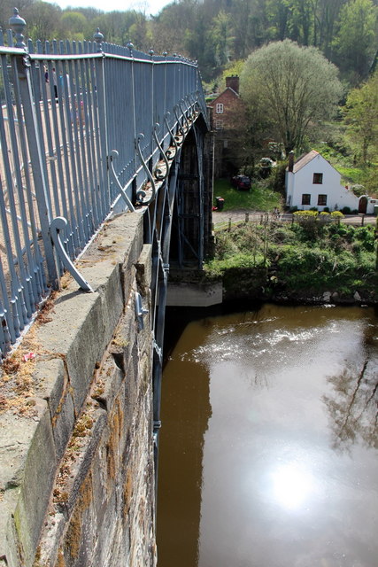
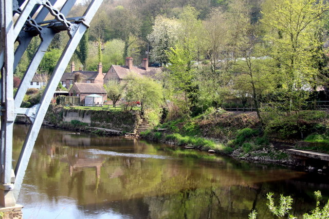
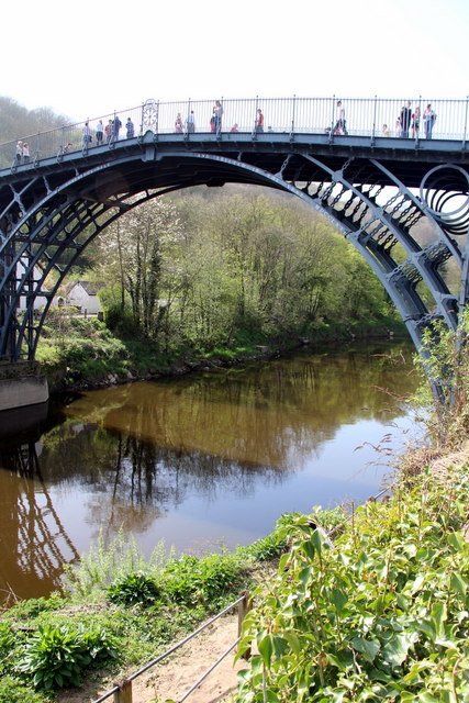
///clash.washable.snored. Near Ironbridge, Shropshire

Related Wikis

Green Bank Halt railway station

Green Bank Halt railway station was a station in Coalbrookdale, Shropshire, England. The station was opened in 1934 and closed in 1962. == References... ==

Resolution (beam engine)

Resolution was an early beam engine, installed between 1781 and 1782 at Coalbrookdale as a water-returning engine to power the blast furnaces and ironworks...

Darby Houses

The Darby Houses museum is one of ten Ironbridge Gorge Museums administered by the Ironbridge Gorge Museum Trust. It is based in the village of Coalbrookdale...

Coalbrookdale

Coalbrookdale is a village in the Ironbridge Gorge in Shropshire, England, containing a settlement of great significance in the history of iron ore smelting...

Coalbrookdale Museum of Iron

The Coalbrookdale Museum of Iron is one of ten Ironbridge Gorge Museums administered by the Ironbridge Gorge Museum Trust. The museum is based in the village...

Ironbridge Gorge Museum Trust

The Ironbridge Gorge Museum Trust is an industrial heritage organisation which runs ten museums and manages multiple historic sites within the Ironbridge...

Holy Trinity Church, Coalbrookdale

Holy Trinity Church is an Anglican church in Coalbrookdale, Shropshire, England. It is part of the United Benefice of Coalbrookdale, Ironbridge and Little...

Coalbrookdale Institute

Coalbrookdale Institute is a former library and scientific institute in Coalbrookdale, Shropshire, England. Dating from the mid-19th century it is now...

Related Videos

Hiking Near Ironbridge | Bluebell Wood

A walk in the World Heritage Site of Ironbridge Gorge which takes you through magnificent woodland, past the Museum of the ...

Walking in Ironbridge ,England #relaxingsounds #walkingvideo #originalsong #4k #asmar#ironbridge #uk

Ironbridge is a large village in the borough of Telford and Wrekin in Shropshire, England. Located on the bank of the River Severn ...

Walking around Ironbridge 22/1/23

Starting at the Half Moon Inn, Ironbridge we crossed the river and climbed up to the Madeley Court Hotel. We then descended into ...

COALBROOKDALE - Shropshire Walking Tour (2024) 4k 60fps

Hello all & welcome to our latest walking tour video on my new channel. Today, we'll be trekking through the beautiful Shrophire ...

Nearby Amenities

Located within 500m of 52.643007,-2.4892839
Parking
Parking: surface
Source: OS_OpenData_StreetView
Lat/Long: 52.6418548/-2.4845958
Coalbrookdale
Place: village
Wikidata: Q1104283
Lat/Long: 52.6396813/-2.4911221
Crossing
Lat/Long: 52.6391168/-2.4925489
Cafe
Museum Cafe
Lat/Long: 52.6395712/-2.4924913
Museum Gift Shop
Shop: gift
Lat/Long: 52.6394183/-2.4925157
Artwork Type: statue
Tourism: artwork
Lat/Long: 52.6400376/-2.4927896
Waste Basket
Lat/Long: 52.6407616/-2.49219
Bench
Backrest: yes
Lat/Long: 52.6399728/-2.4925966
Bench
Backrest: yes
Lat/Long: 52.6399513/-2.492632
Bench
Backrest: yes
Lat/Long: 52.6400908/-2.4927618
Bench
Backrest: yes
Lat/Long: 52.6400428/-2.4926961
Bench
Backrest: yes
Lat/Long: 52.6399889/-2.4927452
Bench
Backrest: yes
Lat/Long: 52.6400713/-2.492857
Bench
Backrest: yes
Lat/Long: 52.6400038/-2.4928678
Pub
Coalbrookdale Inn
Addr City: Telford
Addr Country: GB
Addr Housenumber: 12
Addr Postcode: TF8 7DX
Addr Street: Wellington Road
Addr Suburb: Coalbrookdale
Fhrs Id: 1035493
Phone: +44 1952 433953
Lat/Long: 52.6391595/-2.4915856
Post Box
Collection Times: Mo-Fr 09:00; Sa 07:00
Operator: Royal Mail
Operator Wikidata: Q638098
Post Box Type: lamp
Ref: TF8 53
Royal Cypher: EIIR
Royal Cypher Wikidata: Q33102113
Lat/Long: 52.640774/-2.4915095
Bus Stop
Bench: no
Bus: yes
Covered: yes
Naptan AtcoCode: 3590E034100
Naptan NaptanCode: teladptd
Public Transport: platform
Shelter: yes
Lat/Long: 52.6408325/-2.4912378
Waste Basket
Lat/Long: 52.6407957/-2.4912402
Bench
Backrest: yes
Lat/Long: 52.6408242/-2.4916231
Bench
Backrest: yes
Lat/Long: 52.6408575/-2.4916018
Bench
Backrest: yes
Lat/Long: 52.64103/-2.493285
Waste Basket
Lat/Long: 52.6410175/-2.4908182
Bench
Lat/Long: 52.6411718/-2.4922583
Barrier: stile
Lat/Long: 52.6452374/-2.4877354
Barrier: stile
Lat/Long: 52.6433079/-2.49333
Barrier: stile
Lat/Long: 52.6437862/-2.4940989
The data included in this document is from www.openstreetmap.org. The data is made available under ODbL.

Have you been to Vane Coppice?

Leave your review of Vane Coppice below (or comments, questions and feedback).