The Wilderness

Wood, Forest in Shropshire

England

The Wilderness

The Valley Hotel, Ironbridge A Best Western Hotel
The Valley Hotel, Ironbridge Credit: Alex McGregor

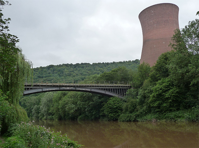
The Wilderness, located in Shropshire, England, is a captivating wood and forest area renowned for its natural beauty and rich biodiversity. Spanning approximately 50 acres, this enchanting wilderness is situated near the village of Clee Hill, offering visitors a tranquil escape from the hustle and bustle of everyday life.

The woodland is predominantly composed of mixed deciduous trees, including oak, beech, and birch, creating a picturesque landscape throughout the changing seasons. The dense foliage provides a haven for a wide array of wildlife, making it a popular destination for nature enthusiasts and birdwatchers.

Visitors to The Wilderness can explore a network of well-maintained footpaths that wind through the woods, allowing them to immerse themselves in the serene surroundings. The trails are suitable for all ages and skill levels, providing an opportunity for both leisurely strolls and more adventurous hikes.

Nature lovers can expect to encounter an abundance of wildlife during their visit. The woodland is home to numerous bird species, including woodpeckers, owls, and thrushes, who serenade visitors with their melodic calls. Squirrels scamper among the trees, while rabbits and deer can occasionally be spotted grazing in the clearings.

The Wilderness also offers several picnic areas and benches, allowing visitors to relax and enjoy the peaceful ambiance. Furthermore, the woodland is equipped with information boards and educational displays, making it an excellent destination for families and school trips.

Overall, The Wilderness in Shropshire is a captivating wood and forest that offers visitors a chance to connect with nature and experience the beauty of the English countryside.

If you have any feedback on the listing, please let us know in the comments section below.

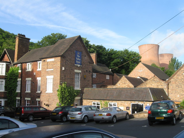
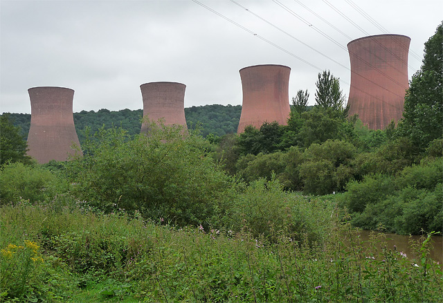
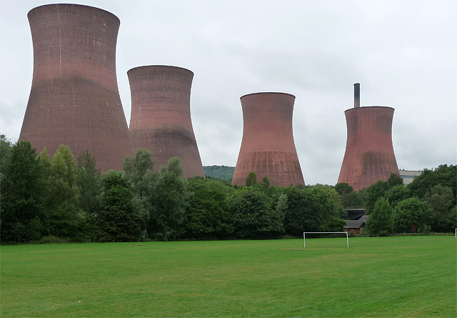
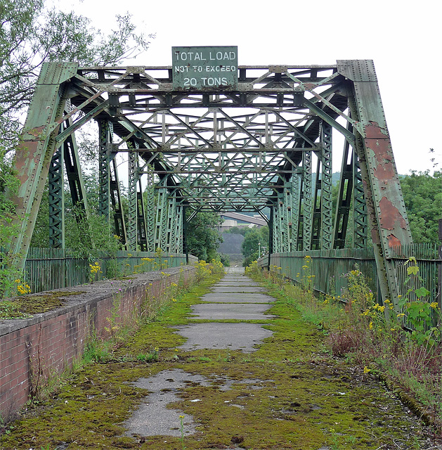
The Wilderness Images

Images are sourced within 2km of 52.645766/-2.5001484 or Grid Reference SJ6605. Thanks to Geograph Open Source API. All images are credited.

The Valley Hotel, Ironbridge A Best Western Hotel
The Valley Hotel, Ironbridge
A Best Western Hotel
Ironbridge B Power Station near Ironbridge (1) The four mighty cooling towers, built of concrete coloured a subdued red. Pevsner comments that they are "set on a gentle curve which echoes the wooded hillside behind them and presents different groupings from different viewpoints." According to Wikipedia, "so impressive were the measures taken to ensure that the power station was an asset to the gorge and not an eyesore" that it was shortlisted for a conservation award in 1973.
Ironbridge B is a 1000 megawatt coal-fired power station which opened in 1969.
See also: <a href="https://www.geograph.org.uk/photo/2447819">SJ6503 : Ironbridge B Power Station near Ironbridge (2)</a>.
Ironbridge B Power Station near Ironbridge (1)
The four mighty cooling towers, built of concrete coloured a subdued red. Pevsner comments that they are "set on a gentle curve which echoes the wooded hillside behind them and presents different groupings from different viewpoints." According to Wikipedia, "so impressive were the measures taken to ensure that the power station was an asset to the gorge and not an eyesore" that it was shortlisted for a conservation award in 1973. Ironbridge B is a 1000 megawatt coal-fired power station which opened in 1969. See also: SJ6503 : Ironbridge B Power Station near Ironbridge (2).
Ironbridge B Power Station near Ironbridge (2) The four mighty cooling towers, built of concrete coloured a subdued red, looming over a football pitch. (I imagine it must be difficult to get one's ball back.) Pevsner comments that they are "set on a gentle curve which echoes the wooded hillside behind them and presents different groupings from different viewpoints." According to Wikipedia, "so impressive were the measures taken to ensure that the power station was an asset to the gorge and not an eyesore" that it was shortlisted for a conservation award in 1973.
Ironbridge B is a 1000 megawatt coal-fired power station which opened in 1969.
See also: <a href="https://www.geograph.org.uk/photo/2447815">SJ6503 : Ironbridge B Power Station near Ironbridge (1)</a>.
Ironbridge B Power Station near Ironbridge (2)
The four mighty cooling towers, built of concrete coloured a subdued red, looming over a football pitch. (I imagine it must be difficult to get one's ball back.) Pevsner comments that they are "set on a gentle curve which echoes the wooded hillside behind them and presents different groupings from different viewpoints." According to Wikipedia, "so impressive were the measures taken to ensure that the power station was an asset to the gorge and not an eyesore" that it was shortlisted for a conservation award in 1973. Ironbridge B is a 1000 megawatt coal-fired power station which opened in 1969. See also: SJ6503 : Ironbridge B Power Station near Ironbridge (1).
Disused bridge near Ironbridge Over the Severn, looking towards the power station. Perhaps it used to serve the 'A' power station which was demolished in 1983?
An "important legal notice" pinned to the gates points out that a Court Order prevents "certain persons" from entering or remaining on EON's property as specified in an attached map. No doubt this is directed at environmentalist protesters.
Disused bridge near Ironbridge
Over the Severn, looking towards the power station. Perhaps it used to serve the 'A' power station which was demolished in 1983? An "important legal notice" pinned to the gates points out that a Court Order prevents "certain persons" from entering or remaining on EON's property as specified in an attached map. No doubt this is directed at environmentalist protesters.
Albert Edward Bridge near Ironbridge An elegant single-arch cast-iron bridge formerly carrying the Wenlock Railway over the River Severn. Dated 1863, inscriptions record, "Messrs. Brassey and Field, Contractors / John Fowler, Engineer / Cast and Erected by the Coalbrookdale Company". Grade II listed.
It now carries coal trains to and from Ironbridge B Power Station, one of whose cooling towers is on the right. See also: <a href="https://www.geograph.org.uk/photo/2447815">SJ6503 : Ironbridge B Power Station near Ironbridge (1)</a>.
Albert Edward Bridge near Ironbridge
An elegant single-arch cast-iron bridge formerly carrying the Wenlock Railway over the River Severn. Dated 1863, inscriptions record, "Messrs. Brassey and Field, Contractors / John Fowler, Engineer / Cast and Erected by the Coalbrookdale Company". Grade II listed. It now carries coal trains to and from Ironbridge B Power Station, one of whose cooling towers is on the right. See also: SJ6503 : Ironbridge B Power Station near Ironbridge (1).
Power Station
Power Station
The Ropewalk meadow above Coalbrookdale
Viaduct over Upper Furnace Pool at Coalbrookdale
Severn Power The River Severn, with cooling towers of Buildwas Power Station in distance.
Severn Power
The River Severn, with cooling towers of Buildwas Power Station in distance.
River Severn, Ironbridge The River Severn winding past the cooling towers of Ironbridge power station.
River Severn, Ironbridge
The River Severn winding past the cooling towers of Ironbridge power station.
The carpark at Enginuity A 'hands on' museum. The gate post contains a metal plate with a benchmark on it.
The carpark at Enginuity
A 'hands on' museum. The gate post contains a metal plate with a benchmark on it.
Boarded up and closed down A garage repair shop in Coach Road.
Boarded up and closed down
A garage repair shop in Coach Road.
Loamhole Brook footbridge Viewed from the raised footpath to Darby Houses.
Loamhole Brook footbridge
Viewed from the raised footpath to Darby Houses.
River Severn, Ironbridge Canoeists on their way upstream.
River Severn, Ironbridge
Canoeists on their way upstream.
River Severn, Ironbridge Showing three of the four cooling towers of Buildwas Power Station.
River Severn, Ironbridge
Showing three of the four cooling towers of Buildwas Power Station.
The Museum of Iron, Coalbrookdale Viewed from the original furnace used by Abraham Darby.
The Museum of Iron, Coalbrookdale
Viewed from the original furnace used by Abraham Darby.
Museum of Iron - Coalbrookdale Situated in the building formerly known as the "Great Warehouse" Built in 1838, the clock tower was added in 1843
Museum of Iron - Coalbrookdale
Situated in the building formerly known as the "Great Warehouse" Built in 1838, the clock tower was added in 1843
Cast Iron Pot - Museum of Iron This huge vat was used in whaling ships for rendering the blubber into whale oil. They were cast with flat sides so as to make them more secure and easier to prevent movement at sea. Aferward the blubber residue was burned to keep the process going. It can be seen in the Museum of Iron, Coalbrookdale
Cast Iron Pot - Museum of Iron
This huge vat was used in whaling ships for rendering the blubber into whale oil. They were cast with flat sides so as to make them more secure and easier to prevent movement at sea. Aferward the blubber residue was burned to keep the process going. It can be seen in the Museum of Iron, Coalbrookdale
Show me another place!

The Wilderness is located at Grid Ref: SJ6605 (Lat: 52.645766, Lng: -2.5001484)

Unitary Authority: Telford and Wrekin

Police Authority: West Mercia

What 3 Words

///cracker.labs.incursion. Near Ironbridge, Shropshire

Related Wikis

Darby Houses

The Darby Houses museum is one of ten Ironbridge Gorge Museums administered by the Ironbridge Gorge Museum Trust. It is based in the village of Coalbrookdale...

Green Bank Halt railway station

Green Bank Halt railway station was a station in Coalbrookdale, Shropshire, England. The station was opened in 1934 and closed in 1962. == References... ==

Coalbrookdale Museum of Iron

The Coalbrookdale Museum of Iron is one of ten Ironbridge Gorge Museums administered by the Ironbridge Gorge Museum Trust. The museum is based in the village...

Resolution (beam engine)

Resolution was an early beam engine, installed between 1781 and 1782 at Coalbrookdale as a water-returning engine to power the blast furnaces and ironworks...

Ironbridge Gorge Museum Trust

The Ironbridge Gorge Museum Trust is an industrial heritage organisation which runs ten museums and manages multiple historic sites within the Ironbridge...

Coalbrookdale

Coalbrookdale is a village in the Ironbridge Gorge in Shropshire, England, containing a settlement of great significance in the history of iron ore smelting...

Coalbrookdale Institute

Coalbrookdale Institute is a former library and scientific institute in Coalbrookdale, Shropshire, England. Dating from the mid-19th century it is now...

Holy Trinity Church, Coalbrookdale

Holy Trinity Church is an Anglican church in Coalbrookdale, Shropshire, England. It is part of the United Benefice of Coalbrookdale, Ironbridge and Little...

Nearby Amenities

Located within 500m of 52.645766,-2.5001484
Hollybank
Is In: Telford
Place: hamlet
Source: OS_OpenData_StreetView
Lat/Long: 52.6421744/-2.4988619
Power: pole
Source: bing
Lat/Long: 52.642572/-2.5048599
Power: pole
Source: bing
Lat/Long: 52.6432349/-2.5036759
Power: pole
Source: bing
Lat/Long: 52.643749/-2.5026362
Power: tower
Source: bing
Lat/Long: 52.6442462/-2.5051982
Power: tower
Source: bing
Lat/Long: 52.6443892/-2.5063185
Power: pole
Source: bing
Lat/Long: 52.6447906/-2.5005541
Power: tower
Source: bing
Lat/Long: 52.6447391/-2.504688
Power: tower
Source: bing
Lat/Long: 52.6453409/-2.5019167
Power: pole
Source: bing
Lat/Long: 52.6454064/-2.4981611
Power: tower
Source: bing
Lat/Long: 52.6460037/-2.4989042
Power: tower
Source: bing
Lat/Long: 52.6465629/-2.5049098
Power: tower
Source: bing
Lat/Long: 52.6466697/-2.4957276
Power: tower
Source: bing
Lat/Long: 52.6470524/-2.4939323
Post Box
Ref: TF8 311
Lat/Long: 52.6432517/-2.4985626
Power: pole
Lat/Long: 52.6453072/-2.4980945
Power: pole
Lat/Long: 52.6461156/-2.4951414
Power: pole
Lat/Long: 52.6466348/-2.4937945
Power: pole
Lat/Long: 52.6459317/-2.4956036
Power: pole
Lat/Long: 52.6460144/-2.4957065
Power: pole
Source: bing
Lat/Long: 52.6447385/-2.5005483
Barrier: stile
Lat/Long: 52.643133/-2.5037883
Barrier: kissing_gate
Lat/Long: 52.6450296/-2.4973038
Loamhole
Historic: monument
Inscription: Industrial Monument
Lat/Long: 52.6457903/-2.4981725
Bench
Pat & Rob Gotting
Backrest: yes
Lat/Long: 52.6457501/-2.4981288
Bench
Margaret Bunting
Lat/Long: 52.6482636/-2.4997722
Power: tower
Lat/Long: 52.6485364/-2.502906
Power: pole
Lat/Long: 52.6447951/-2.5001197
Power: pole
Lat/Long: 52.6449206/-2.5001602
Power: pole
Lat/Long: 52.6447132/-2.5012508
Power: pole
Lat/Long: 52.64556/-2.5004189
Barrier: stile
Lat/Long: 52.6437862/-2.4940989
The data included in this document is from www.openstreetmap.org. The data is made available under ODbL.

Have you been to The Wilderness?

Leave your review of The Wilderness below (or comments, questions and feedback).