Wynne's Coppice

Wood, Forest in Shropshire

England

Wynne's Coppice

The Valley Hotel, Ironbridge A Best Western Hotel
The Valley Hotel, Ironbridge Credit: Alex McGregor

Wynne's Coppice is a charming wooded area located in the county of Shropshire, England. Stretching across approximately 20 acres of land, this copse is renowned for its natural beauty and tranquil atmosphere, attracting nature lovers and outdoor enthusiasts alike.

Situated on the outskirts of the small village of Clun, Wynne's Coppice is a haven for various species of flora and fauna. The woodland is predominantly composed of broadleaf trees such as oak, ash, and beech, which create a dense canopy, providing shade and shelter for the undergrowth. The forest floor is adorned with an array of wildflowers, including bluebells, wood anemones, and primroses, which paint the landscape with vibrant colors during springtime.

As visitors wander through the woodland, they may encounter a diverse range of wildlife. Wynne's Coppice is home to various bird species, including woodpeckers, thrushes, and owls, providing a melodious soundtrack to the surrounding environment. Additionally, the copse is inhabited by mammals such as badgers, foxes, and deer, offering nature enthusiasts the opportunity to observe these creatures in their natural habitat.

The copse is intersected by a network of footpaths, enabling visitors to explore the woodland at their leisure. These paths wind through the trees, crossing babbling brooks and offering picturesque views of the surrounding countryside. The copse is a popular destination for walkers, hikers, and dog owners, providing a peaceful escape from the hustle and bustle of everyday life.

Overall, Wynne's Coppice in Shropshire is a delightful woodland that offers a serene and idyllic setting for those seeking a connection with nature.

If you have any feedback on the listing, please let us know in the comments section below.

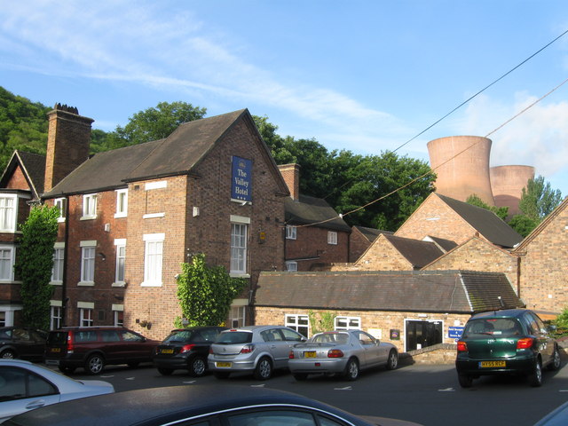
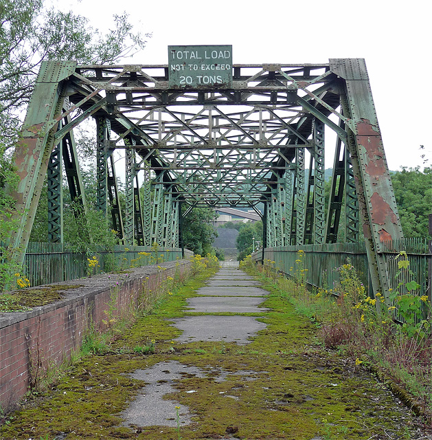
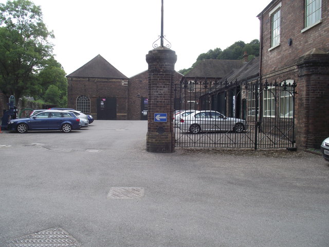
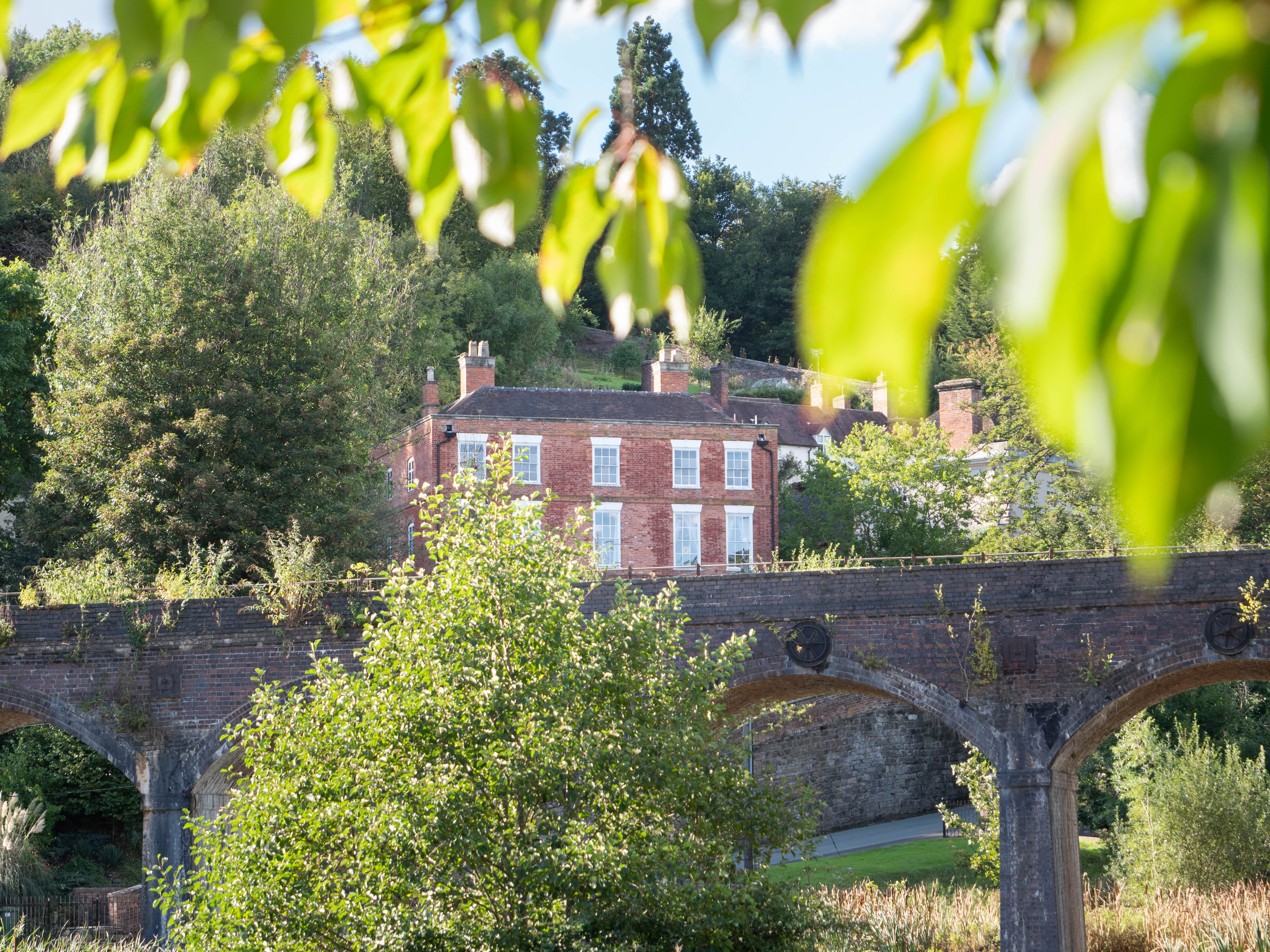
Wynne's Coppice Images

Images are sourced within 2km of 52.648182/-2.4942637 or Grid Reference SJ6605. Thanks to Geograph Open Source API. All images are credited.

The Valley Hotel, Ironbridge A Best Western Hotel
The Valley Hotel, Ironbridge
A Best Western Hotel
Disused bridge near Ironbridge Over the Severn, looking towards the power station. Perhaps it used to serve the 'A' power station which was demolished in 1983?
An "important legal notice" pinned to the gates points out that a Court Order prevents "certain persons" from entering or remaining on EON's property as specified in an attached map. No doubt this is directed at environmentalist protesters.
Disused bridge near Ironbridge
Over the Severn, looking towards the power station. Perhaps it used to serve the 'A' power station which was demolished in 1983? An "important legal notice" pinned to the gates points out that a Court Order prevents "certain persons" from entering or remaining on EON's property as specified in an attached map. No doubt this is directed at environmentalist protesters.
The Ropewalk meadow above Coalbrookdale
Viaduct over Upper Furnace Pool at Coalbrookdale
The carpark at Enginuity A 'hands on' museum. The gate post contains a metal plate with a benchmark on it.
The carpark at Enginuity
A 'hands on' museum. The gate post contains a metal plate with a benchmark on it.
Boarded up and closed down A garage repair shop in Coach Road.
Boarded up and closed down
A garage repair shop in Coach Road.
Loamhole Brook footbridge Viewed from the raised footpath to Darby Houses.
Loamhole Brook footbridge
Viewed from the raised footpath to Darby Houses.
The Museum of Iron, Coalbrookdale Viewed from the original furnace used by Abraham Darby.
The Museum of Iron, Coalbrookdale
Viewed from the original furnace used by Abraham Darby.
Museum of Iron - Coalbrookdale Situated in the building formerly known as the "Great Warehouse" Built in 1838, the clock tower was added in 1843
Museum of Iron - Coalbrookdale
Situated in the building formerly known as the "Great Warehouse" Built in 1838, the clock tower was added in 1843
Cast Iron Pot - Museum of Iron This huge vat was used in whaling ships for rendering the blubber into whale oil. They were cast with flat sides so as to make them more secure and easier to prevent movement at sea. Aferward the blubber residue was burned to keep the process going. It can be seen in the Museum of Iron, Coalbrookdale
Cast Iron Pot - Museum of Iron
This huge vat was used in whaling ships for rendering the blubber into whale oil. They were cast with flat sides so as to make them more secure and easier to prevent movement at sea. Aferward the blubber residue was burned to keep the process going. It can be seen in the Museum of Iron, Coalbrookdale
Upper Furnace Pool - Coalbrookdale This pool was built to supply water in order to power the Old Furnace nearby.
Upper Furnace Pool - Coalbrookdale
This pool was built to supply water in order to power the Old Furnace nearby.
The Old Furnace Building - Coalbrookdale This building contains the remains of the earliest blast furnace to operate using coke instead of charcoal. It was used by Abraham Darby in 1709. He enlarged an existing furnace that had been there 50 years. It is one of the most important industrial archeological sites in the world.
The Old Furnace Building - Coalbrookdale
This building contains the remains of the earliest blast furnace to operate using coke instead of charcoal. It was used by Abraham Darby in 1709. He enlarged an existing furnace that had been there 50 years. It is one of the most important industrial archeological sites in the world.
Railway Viaduct - Coalbrookdale A small part of the long viaduct that carries the Coalbrookdale railway over The Upper Furnace Pond at the Museum of Iron.
Railway Viaduct - Coalbrookdale
A small part of the long viaduct that carries the Coalbrookdale railway over The Upper Furnace Pond at the Museum of Iron.
The Swan, Ironbridge
Railway bridge & platform Horsehay station.
Railway bridge & platform
Horsehay station.
Train at Horsehay & Dawlish station Operated by the Telford Steam Railway.
Train at Horsehay & Dawlish station
Operated by the Telford Steam Railway.
Coalbrookdale station (remains) View NE, towards Wellington, also Shifnal via Madeley; ex-GWR Wellington - Buildwas - Much Wenlock - Craven Arms line, also Shifnal via Madeley (Salop). The station closed on 23/7/62 when the Wellington - Much Wenlock service caesed, but remained open for goods until 6/7/64. The line here is still open in 1983 as it is on the route of merry-go-round coal traffic to the enormous Ironbridge B Power Station across the Severn at Buildwas, and this comes via the Madeley line.
Coalbrookdale station (remains)
View NE, towards Wellington, also Shifnal via Madeley; ex-GWR Wellington - Buildwas - Much Wenlock - Craven Arms line, also Shifnal via Madeley (Salop). The station closed on 23/7/62 when the Wellington - Much Wenlock service caesed, but remained open for goods until 6/7/64. The line here is still open in 1983 as it is on the route of merry-go-round coal traffic to the enormous Ironbridge B Power Station across the Severn at Buildwas, and this comes via the Madeley line.
Viaduct View Seen with the furnace ponds for powering waterwheel bellows.
Viaduct View
Seen with the furnace ponds for powering waterwheel bellows.
Show me another place!

Wynne's Coppice is located at Grid Ref: SJ6605 (Lat: 52.648182, Lng: -2.4942637)

Unitary Authority: Telford and Wrekin

Police Authority: West Mercia

What 3 Words

///november.betrayed.playback. Near Ironbridge, Shropshire

Related Wikis

Darby Houses

The Darby Houses museum is one of ten Ironbridge Gorge Museums administered by the Ironbridge Gorge Museum Trust. It is based in the village of Coalbrookdale...

Green Bank Halt railway station

Green Bank Halt railway station was a station in Coalbrookdale, Shropshire, England. The station was opened in 1934 and closed in 1962. == References... ==

Resolution (beam engine)

Resolution was an early beam engine, installed between 1781 and 1782 at Coalbrookdale as a water-returning engine to power the blast furnaces and ironworks...

Horsehay

Horsehay is a suburban village on the western outskirts of Dawley, which, along with several other towns and villages, now forms part of the new town of...

Coalbrookdale Museum of Iron

The Coalbrookdale Museum of Iron is one of ten Ironbridge Gorge Museums administered by the Ironbridge Gorge Museum Trust. The museum is based in the village...

Ironbridge Gorge Museum Trust

The Ironbridge Gorge Museum Trust is an industrial heritage organisation which runs ten museums and manages multiple historic sites within the Ironbridge...

Coalbrookdale

Coalbrookdale is a village in the Ironbridge Gorge in Shropshire, England, containing a settlement of great significance in the history of iron ore smelting...

Coalbrookdale Institute

Coalbrookdale Institute is a former library and scientific institute in Coalbrookdale, Shropshire, England. Dating from the mid-19th century it is now...

Nearby Amenities

Located within 500m of 52.648182,-2.4942637
Power: pole
Source: bing
Lat/Long: 52.6454064/-2.4981611
Power: tower
Source: bing
Lat/Long: 52.6460037/-2.4989042
Power: tower
Source: bing
Lat/Long: 52.6466697/-2.4957276
Power: tower
Source: bing
Lat/Long: 52.6470524/-2.4939323
Power: tower
Source: bing
Lat/Long: 52.6476152/-2.4910774
Power: tower
Source: bing
Lat/Long: 52.6477626/-2.4903367
Power: tower
Source: bing
Lat/Long: 52.6478289/-2.488125
Bus Stop
Bus: yes
Covered: yes
Public Transport: platform
Shelter: yes
Lat/Long: 52.6497641/-2.494507
Power: pole
Lat/Long: 52.6453072/-2.4980945
Power: pole
Lat/Long: 52.6461156/-2.4951414
Power: pole
Lat/Long: 52.6466348/-2.4937945
Power: pole
Lat/Long: 52.6471367/-2.4926062
Power: pole
Lat/Long: 52.647475/-2.4908877
Power: pole
Lat/Long: 52.6476079/-2.4902167
Power: pole
Lat/Long: 52.6476862/-2.4884044
Power: pole
Lat/Long: 52.6459317/-2.4956036
Power: pole
Lat/Long: 52.6460144/-2.4957065
Barrier: kissing_gate
Lat/Long: 52.6450296/-2.4973038
Loamhole
Historic: monument
Inscription: Industrial Monument
Lat/Long: 52.6457903/-2.4981725
Bench
Pat & Rob Gotting
Backrest: yes
Lat/Long: 52.6457501/-2.4981288
Bench
Margaret Bunting
Lat/Long: 52.6482636/-2.4997722
Generator Method: photovoltaic
Generator Output Electricity: yes
Generator Source: solar
Generator Type: solar_photovoltaic_panel
Location: roof
Power: generator
Lat/Long: 52.6490767/-2.4870515
Barrier: stile
Lat/Long: 52.6437862/-2.4940989
The data included in this document is from www.openstreetmap.org. The data is made available under ODbL.

Have you been to Wynne's Coppice?

Leave your review of Wynne's Coppice below (or comments, questions and feedback).