Searts Copse

Wood, Forest in Somerset South Somerset

England

Searts Copse

Pin Lane Cottage
Pin Lane Cottage Credit: Roger Cornfoot

Searts Copse is a picturesque woodland located in Somerset, England. Nestled within the rolling hills of the countryside, this enchanting forest spans an area of approximately 100 acres. It is a haven for nature lovers and outdoor enthusiasts, offering a serene and peaceful escape from the hustle and bustle of everyday life.

The copse is primarily composed of a diverse range of trees, including oak, beech, and ash, which create a rich and vibrant canopy that provides shade and shelter to an array of wildlife. The forest floor is adorned with a lush carpet of bluebells and other wildflowers during the spring, painting a mesmerizing scene of colors and scents.

Tranquil walking trails wind their way through the woodland, allowing visitors to explore its natural beauty at their own pace. The paths are well-maintained, making them accessible to people of all ages and abilities.

Searts Copse is not just a haven for flora, but also for fauna. The forest provides a habitat for a variety of bird species, including woodpeckers and songbirds, which fill the air with their melodic tunes. Squirrels scurry about, while badgers and foxes can occasionally be spotted, adding to the sense of wilderness.

For those seeking solitude and a connection with nature, Searts Copse offers a perfect retreat. Whether it be a leisurely stroll, a picnic among the trees, or simply sitting quietly to observe the wildlife, this charming woodland is a true gem in the heart of Somerset.

If you have any feedback on the listing, please let us know in the comments section below.
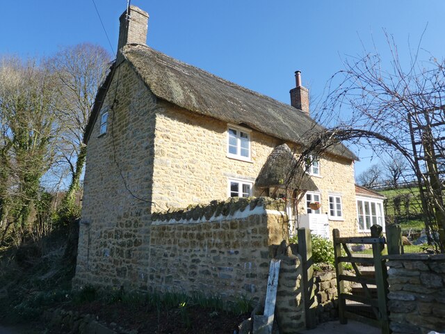
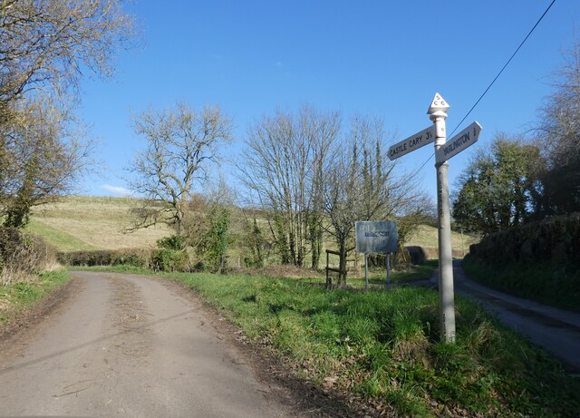
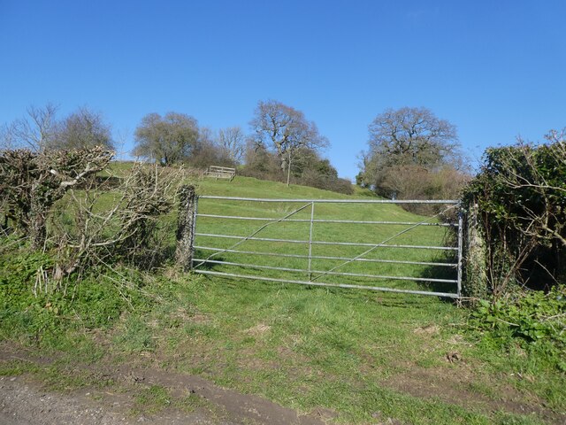
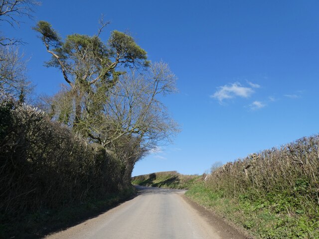
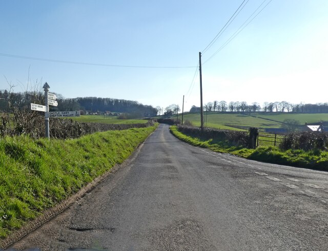
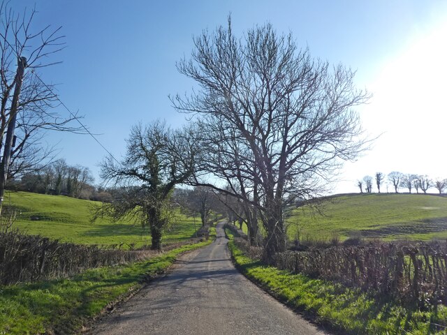
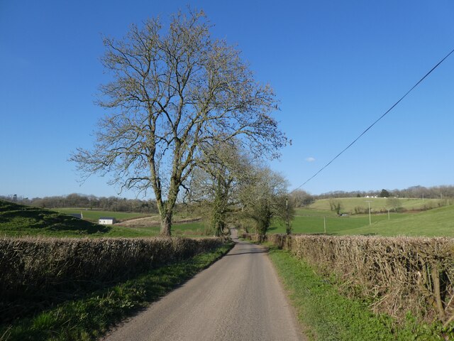
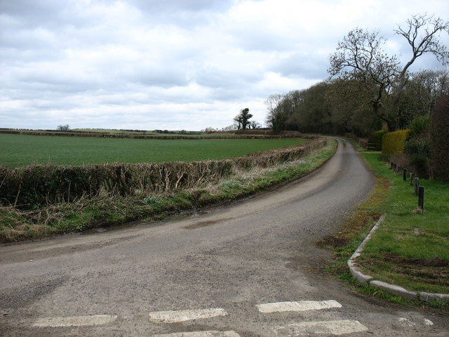
Searts Copse Images

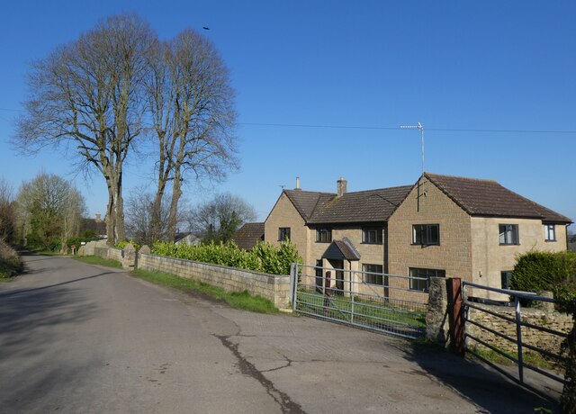
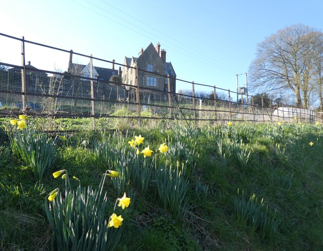
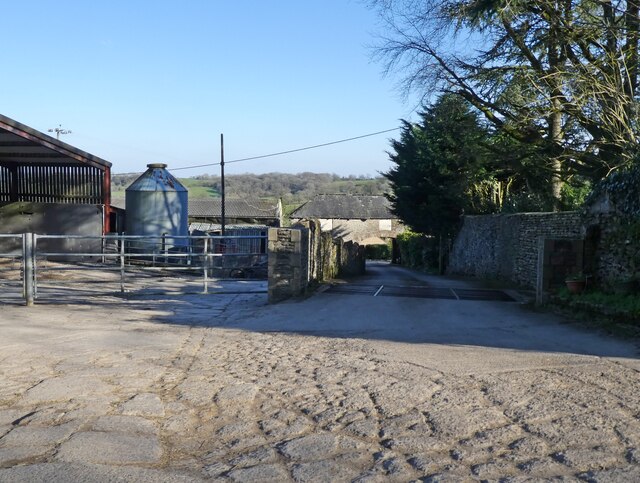
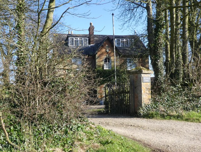
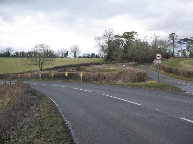
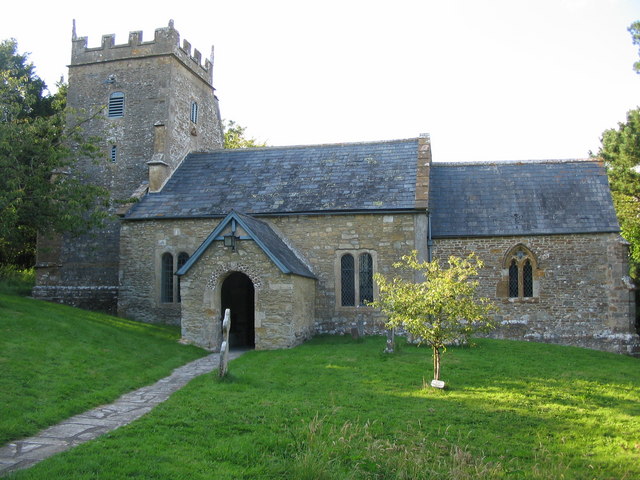
Images are sourced within 2km of 51.074183/-2.4725904 or Grid Reference ST6630. Thanks to Geograph Open Source API. All images are credited.

Pin Lane Cottage
Pin Lane Cottage
Junction at the bottom of Shatwell Lane
God's Hill
God's Hill
Castle Hill
Castle Hill
Hill View House
Hill View House
Bratton House
Bratton House
Bratton Park Farm
Bratton Park Farm
Seymour Lodge
Seymour Lodge
Turning for Green Hill Gate
Minor road to the A303
Minor road to Shepton Montague
Lodge Hill
Lodge Hill
Pin Lane Cottage, Yarlington The thatched built of Cary stone in 1800 stands on Crocker's Hill.
Pin Lane Cottage, Yarlington
The thatched built of Cary stone in 1800 stands on Crocker's Hill.
Bench Mark, Pin Lane Cottage The Ordnance Survey bench mark is to be found on the northwest face of the cottage wall.  For a photograph of the cottage <a href="https://www.geograph.org.uk/photo/2837875">ST6529 : Pin Lane Cottage, Yarlington</a> and for further information on the cut mark and others in the area <span class="nowrap"><a title="http://www.bench-marks.org.uk/bm41792" rel="nofollow ugc noopener" href="http://www.bench-marks.org.uk/bm41792">Link</a><img style="margin-left:2px;" alt="External link" title="External link - shift click to open in new window" src="https://s1.geograph.org.uk/img/external.png" width="10" height="10"/></span>
Bench Mark, Pin Lane Cottage
The Ordnance Survey bench mark is to be found on the northwest face of the cottage wall. For a photograph of the cottage ST6529 : Pin Lane Cottage, Yarlington and for further information on the cut mark and others in the area LinkExternal link
A minor road near Yarlington This short 'cut-through' to the A371 is not signed here as a one-way street, but at the other end it is firmly marked 'No Entry'. So locals must have a bit of a shock if they encounter a car coming towards them, perhaps from the driveway that can be seen beyond the hedge on the right.
A minor road near Yarlington
This short 'cut-through' to the A371 is not signed here as a one-way street, but at the other end it is firmly marked 'No Entry'. So locals must have a bit of a shock if they encounter a car coming towards them, perhaps from the driveway that can be seen beyond the hedge on the right.
Yarlington church
Yarlington church
A371 junction A view looking northeast across the A371 to the split-Y junction with the minor road from Shepton Montague.
A371 junction
A view looking northeast across the A371 to the split-Y junction with the minor road from Shepton Montague.
Reservoir and Comms Mast A view looking northeast across the A371 to a reservoir and communications mast.
Reservoir and Comms Mast
A view looking northeast across the A371 to a reservoir and communications mast.
Show me another place!

Searts Copse is located at Grid Ref: ST6630 (Lat: 51.074183, Lng: -2.4725904)

Administrative County: Somerset

District: South Somerset

Police Authority: Avon and Somerset

What 3 Words

///nicknames.tinkle.nicknames. Near Castle Cary, Somerset

Related Wikis

Church of St Nicholas, Bratton Seymour

The Anglican Church of St Nicholas in Bratton Seymour, Somerset, England, was built in the 13th century. It is a Grade II* listed building. == History... ==

Shepton Montague

Shepton Montague is a village and civil parish in Somerset, England, United Kingdom. It is situated on the River Pitt in the South Somerset district midway...

Bratton Seymour

Bratton Seymour is a village and civil parish in Somerset, England, situated on a tributary of the River Brue 4 miles (6.4 km) south-east of Castle Cary...

Hadspen Quarry

Hadspen Quarry is a stone quarry in Somerset, England. It is shown on Ordnance Survey maps for 1888–90, and may have been in operation for a considerable...

Nearby Amenities

Located within 500m of 51.074183,-2.4725904
Power: pole
Source: bing
Lat/Long: 51.0784576/-2.473501
Power: pole
Source: bing
Lat/Long: 51.0780886/-2.4738014
Power: pole
Source: bing
Lat/Long: 51.0777313/-2.4740911
Power: pole
Source: bing
Lat/Long: 51.0773606/-2.4743754
Power: pole
Source: bing
Lat/Long: 51.0770151/-2.4744317
Power: pole
Source: bing
Lat/Long: 51.0766427/-2.4744585
Power: pole
Source: bing
Lat/Long: 51.0759636/-2.4745363
Power: pole
Source: bing
Switch: mechanical
Lat/Long: 51.07518/-2.4746195
Power: pole
Source: bing
Lat/Long: 51.0743896/-2.474708
Power: pole
Source: bing
Lat/Long: 51.0740492/-2.4743137
Power: pole
Source: bing
Lat/Long: 51.0738082/-2.4740267
Power: pole
Source: bing
Transformer: distribution
Lat/Long: 51.0733211/-2.4734701
Power: pole
Source: bing
Lat/Long: 51.0727582/-2.472821
Power: pole
Source: bing
Lat/Long: 51.0703347/-2.4720016
Power: pole
Source: bing
Lat/Long: 51.0711133/-2.4715269
Power: pole
Source: bing
Lat/Long: 51.0721667/-2.4721545
Power: pole
Source: bing
Lat/Long: 51.0718633/-2.4710709
Power: pole
Source: bing
Lat/Long: 51.071624/-2.4700329
Power: pole
Source: bing
Lat/Long: 51.0714656/-2.4690914
Power: pole
Source: bing
Lat/Long: 51.0712701/-2.4679005
The data included in this document is from www.openstreetmap.org. The data is made available under ODbL.

Have you been to Searts Copse?

Leave your review of Searts Copse below (or comments, questions and feedback).