Mill Coppice

Wood, Forest in Worcestershire Malvern Hills

England

Mill Coppice

Eastham church Eastham church in the Teme valley is located in a farmyard. Although the tower is brick, the body of the church is made from locally quarried tufa.
Eastham church Credit: Richard Greenwood

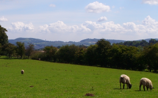
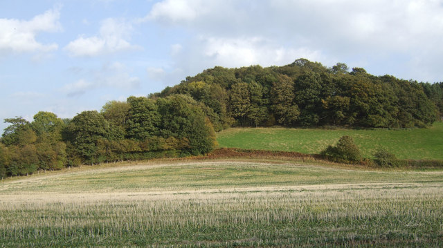
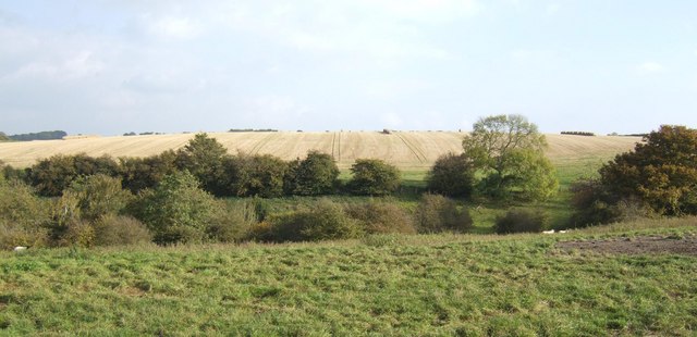
Mill Coppice is a woodland area located in Worcestershire, England. Covering an approximate area of 100 acres, it is a serene and picturesque forest that offers visitors a peaceful retreat from the bustling city life. The coppice is situated in close proximity to the village of Hartlebury, providing easy access for nature enthusiasts and locals alike.

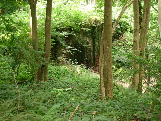
The forest is predominantly made up of a variety of deciduous trees, including oak, ash, birch, and willow. These trees provide a rich habitat for a diverse range of wildlife, making Mill Coppice a prime spot for birdwatchers and animal lovers. Visitors can expect to spot various species such as woodpeckers, owls, deer, and foxes as they explore the winding paths and trails that crisscross the woodland.

The history of Mill Coppice can be traced back to the medieval era when it was primarily used for timber production and fuel. Today, the forest is managed by local conservation organizations, ensuring the preservation of its natural beauty and ecological value. There are also designated picnic areas and benches, allowing visitors to relax and enjoy the tranquil surroundings.

For those seeking a more active experience, Mill Coppice offers opportunities for walking, hiking, and cycling. The well-maintained paths are suitable for all ages and fitness levels, making it an ideal destination for families and outdoor enthusiasts.

Overall, Mill Coppice in Worcestershire is a haven of natural beauty, offering a peaceful escape where visitors can reconnect with nature and enjoy the wonders of the woodland environment.

If you have any feedback on the listing, please let us know in the comments section below.
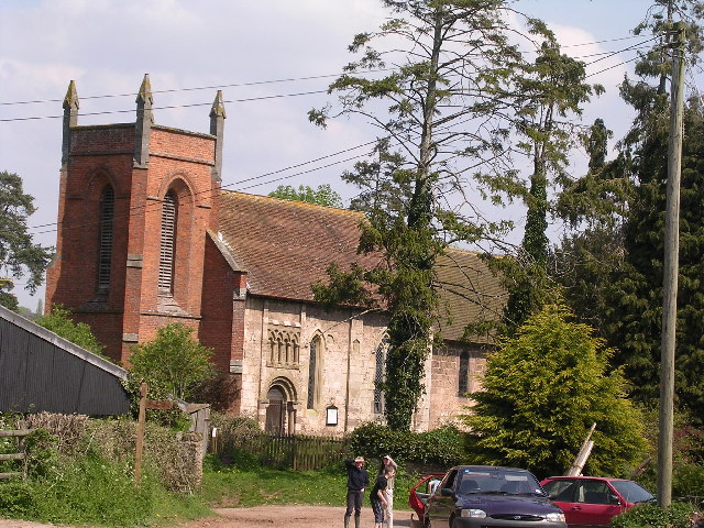
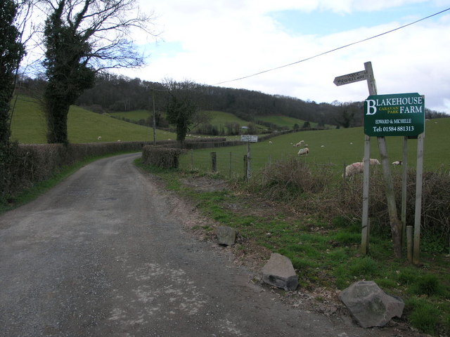
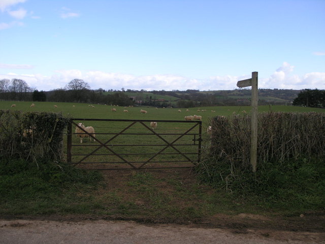
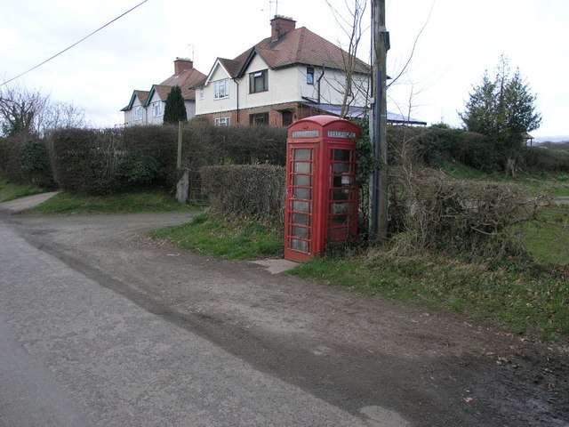
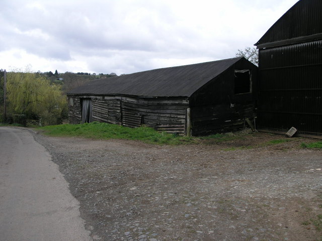
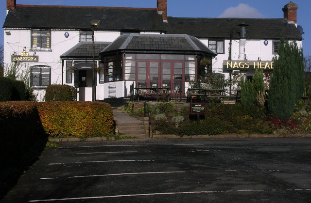
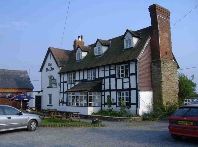
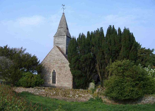
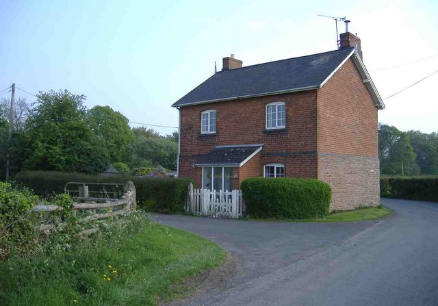
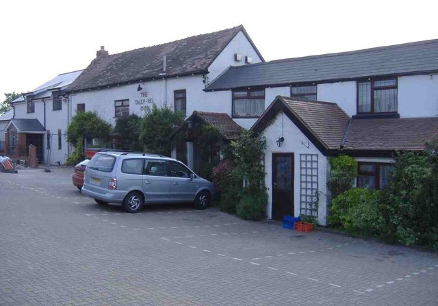
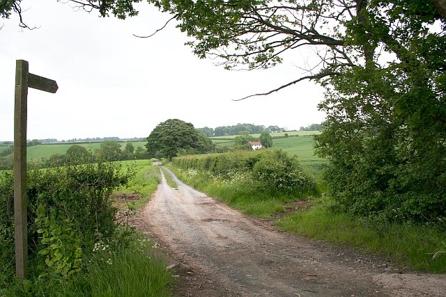
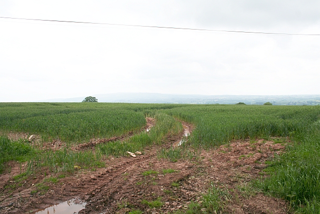
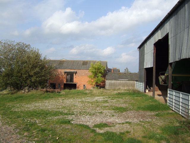
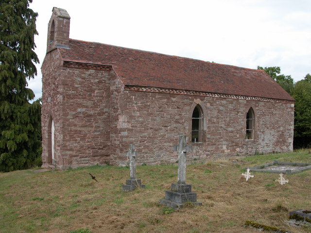
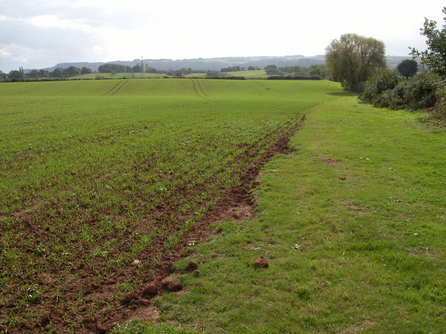
Mill Coppice Images

Images are sourced within 2km of 52.301872/-2.486569 or Grid Reference SO6667. Thanks to Geograph Open Source API. All images are credited.

Eastham church Eastham church in the Teme valley is located in a farmyard. Although the tower is brick, the body of the church is made from locally quarried tufa.
Eastham church
Eastham church in the Teme valley is located in a farmyard. Although the tower is brick, the body of the church is made from locally quarried tufa.
Bridleway to Eastham Grange Hiding away somewhere on this hillside is a caravan park.
Bridleway to Eastham Grange
Hiding away somewhere on this hillside is a caravan park.
Gate and Sheep This footpath follows the river valley on its way to Eastham.
Gate and Sheep
This footpath follows the river valley on its way to Eastham.
Phone and Footpath The footpath leads to Eastham the phonebox could potentially lead to anywhere in the world.
Phone and Footpath
The footpath leads to Eastham the phonebox could potentially lead to anywhere in the world.
Black Wooden Barn This barn has perhaps seen better days since the planks on its sides have sagged a little.
Black Wooden Barn
This barn has perhaps seen better days since the planks on its sides have sagged a little.
Nag's Head Pub On the A 443 Worcester Tenbury Road in the Teme Valley.
Nag's Head Pub
On the A 443 Worcester Tenbury Road in the Teme Valley.
The Fox Inn, Hanley William
All Saints Church, Hanley William
North Lodge, Hanley William
The Tally-Ho Inn, Broad Heath
Childsgrove Farm Taken from the start of the lane at a point where five routes converge, though one is now just a public footpath blocked by crops.
Childsgrove Farm
Taken from the start of the lane at a point where five routes converge, though one is now just a public footpath blocked by crops.
Footpath to Highwood Looking from a junction of five roads and paths, one of the paths goes across this field - now ploughed up and planted. Lying on the ground is the remains of a 3" X 3" wooden post - very similar to those indicating a public footpath.
Footpath to Highwood
Looking from a junction of five roads and paths, one of the paths goes across this field - now ploughed up and planted. Lying on the ground is the remains of a 3" X 3" wooden post - very similar to those indicating a public footpath.
Sheep Pasture, Church Farm, Hanley William Looking towards the Abbeley Clock Tower <a href="https://www.geograph.org.uk/photo/392108">SO7466 : Abberley Clock Tower</a>
Sheep Pasture, Church Farm, Hanley William
Looking towards the Abbeley Clock Tower SO7466 : Abberley Clock Tower
Bridge in Hanley Dingle A very tall brick built bridge over the stream running into Hanley Dingle; close to the noisy waterfall. The bridge carries a farm track and public footpath.
Bridge in Hanley Dingle
A very tall brick built bridge over the stream running into Hanley Dingle; close to the noisy waterfall. The bridge carries a farm track and public footpath.
Bridleway south of Hillwood Farm Pleasant rolling countryside in west Worcestershire.
Bridleway south of Hillwood Farm
Pleasant rolling countryside in west Worcestershire.
Wooded hillside View east of the farm road to Hillwood farm.
Wooded hillside
View east of the farm road to Hillwood farm.
Grazing land and arable Typical scenery of the countryside east of Tenbury.
Grazing land and arable
Typical scenery of the countryside east of Tenbury.
Hillwood Farm Not a hive of activity.
Hillwood Farm
Not a hive of activity.
Show me another place!

Mill Coppice is located at Grid Ref: SO6667 (Lat: 52.301872, Lng: -2.486569)

Administrative County: Worcestershire

District: Malvern Hills

Police Authority: West Mercia

What 3 Words

///flamed.whom.shielding. Near Collington, Herefordshire

Related Wikis

Eastham, Worcestershire

Eastham is a village and civil parish in the Malvern Hills District in the county of Worcestershire, England. It had a population of 254 in 2021.Eastham...

Hanley William

Hanley William is a village and former civil parish, now in the parish of Hanley, in the Malvern Hills district, in the county of Worcestershire, England...

Hanley, Worcestershire

Hanley is a civil parish in the district of Malvern Hills in the county of Worcestershire, England. Hanley William and Hanley Child are places within the...

Lindridge

Lindridge is a village and civil parish in the Malvern Hills District in the north of the county of Worcestershire, England, near the Shropshire border...
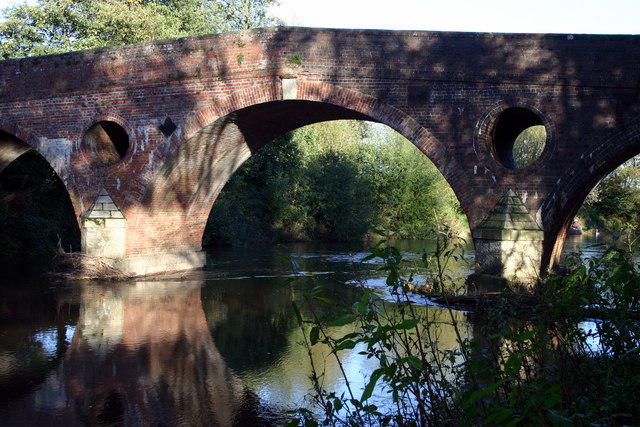
Eastham bridge

Eastham bridge was a Grade II listed bridge over the River Teme at Eastham, near Tenbury Wells, Worcestershire, England. Built as a toll bridge in 1793...

Eardiston

Eardiston is a village in Worcestershire, England. The village of Eardiston lies in the valley of the river Teme between Great Witley and Tenbury Wells...

Hanley Child

Hanley Child is a village and former civil parish, now in the parish of Hanley, in the Malvern Hills district, in the county of Worcestershire, England...

Marlbrook, Shropshire

Marlbrook is a hamlet in Shropshire, England, right on the border with Worcestershire. == References == The geographic coordinates are from the Ordnance...

Nearby Amenities

Located within 500m of 52.301872,-2.486569
Barrier: stile
Material: wood
Stile: stepover
Lat/Long: 52.303675/-2.4818695
Barrier: stile
Foot: yes
Material: wood
Stile: stepover
Lat/Long: 52.305466/-2.4840079
Hanley Mill
Power: pole
Transformer: distribution
Voltage Primary: 11000
Lat/Long: 52.3004004/-2.4839388
Power: pole
Lat/Long: 52.2999961/-2.4833239
Deakin Cottage
Power: pole
Transformer: distribution
Voltage Primary: 11000
Lat/Long: 52.2995208/-2.4826017
Power: pole
Lat/Long: 52.2993999/-2.4810568
Power: pole
Lat/Long: 52.2990259/-2.4818493
The data included in this document is from www.openstreetmap.org. The data is made available under ODbL.

Have you been to Mill Coppice?

Leave your review of Mill Coppice below (or comments, questions and feedback).