Foxholes Coppice

Wood, Forest in Worcestershire Malvern Hills

England

Foxholes Coppice

Eastham church Eastham church in the Teme valley is located in a farmyard. Although the tower is brick, the body of the church is made from locally quarried tufa.
Eastham church Credit: Richard Greenwood

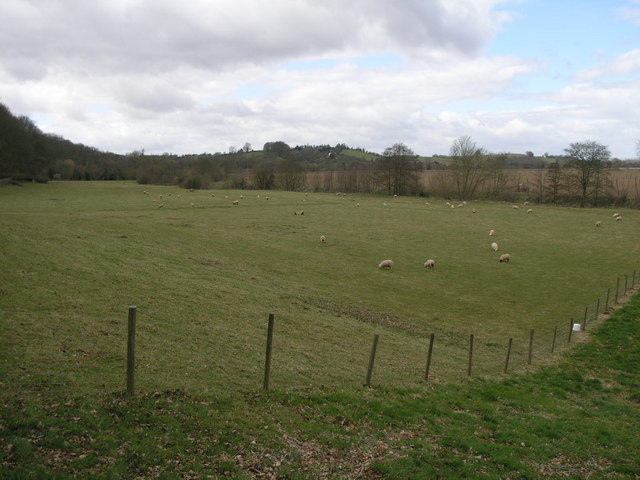
Foxholes Coppice is a picturesque woodland located in Worcestershire, England. Spanning over a vast area of approximately 50 acres, this deciduous forest is a haven for nature lovers and outdoor enthusiasts alike. The coppice is situated near the town of Bewdley, just a few miles south of the Wyre Forest, and is easily accessible from nearby roads and footpaths.

The woodland is characterized by its diverse range of tree species, including oak, birch, ash, and beech, which create a rich and vibrant canopy. The forest floor is adorned with an array of wildflowers, ferns, and mosses, adding to its natural beauty. The dense vegetation also provides a habitat for a wide variety of wildlife, including birds, mammals, and insects.

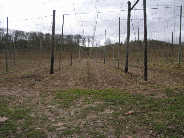
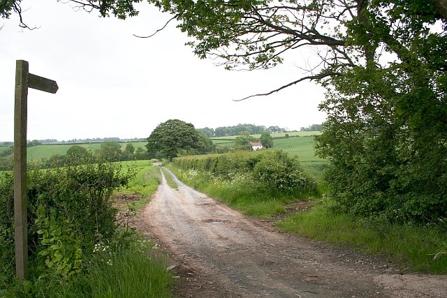
Visitors to Foxholes Coppice can enjoy a network of well-maintained walking trails, allowing them to explore the woodland at their own pace. These paths wind through the forest, leading to hidden clearings and tranquil spots, perfect for picnicking or simply soaking in the peaceful atmosphere. The woodland also features several small streams and ponds, enhancing its charm and providing a water source for the various inhabitants.

Foxholes Coppice is managed by local conservation organizations, who work tirelessly to preserve and protect the natural environment. They conduct regular maintenance activities, such as tree planting, coppicing, and wildlife monitoring, ensuring the sustainability of this precious woodland for future generations.

In conclusion, Foxholes Coppice is a beautiful woodland sanctuary in Worcestershire, offering a serene escape from the hustle and bustle of everyday life. With its diverse flora and fauna, well-maintained trails, and commitment to conservation, it is an ideal destination for nature enthusiasts seeking a peaceful retreat.

If you have any feedback on the listing, please let us know in the comments section below.

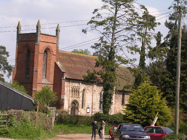
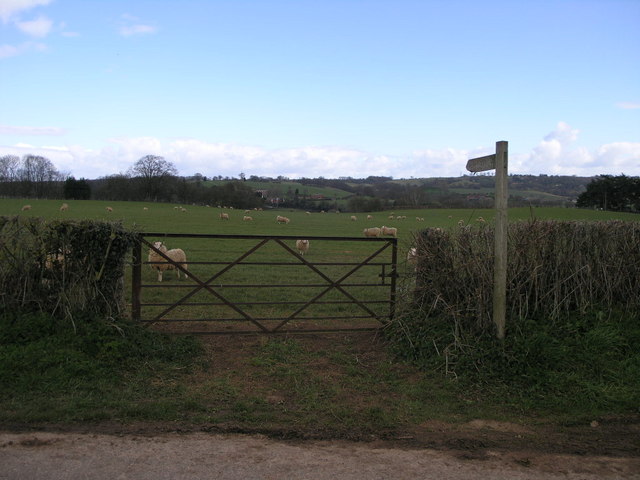
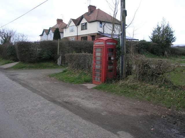
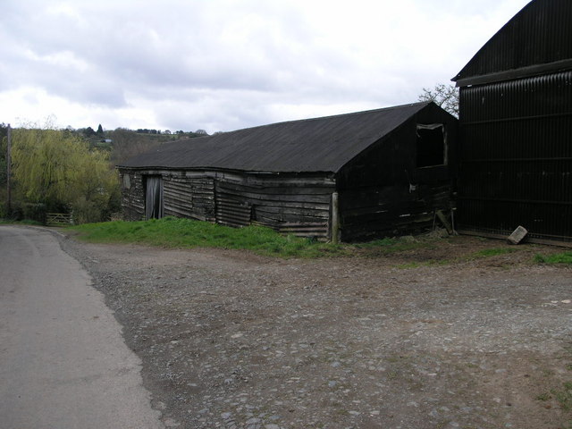
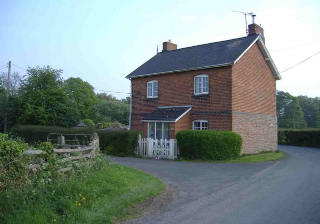
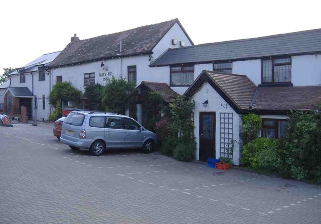
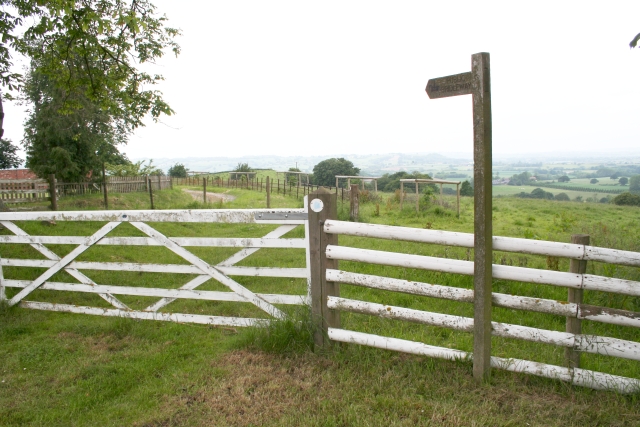
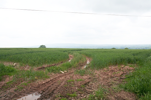
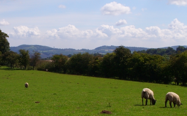
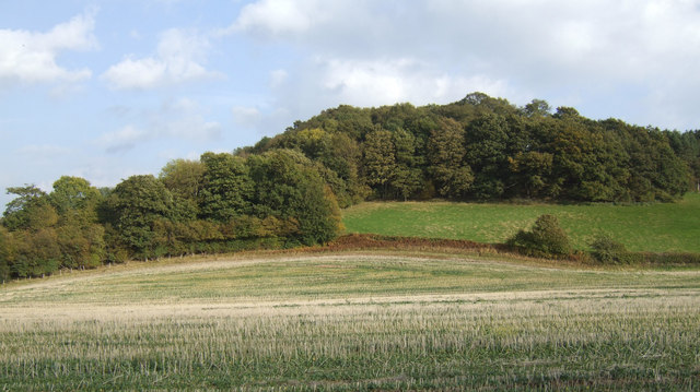
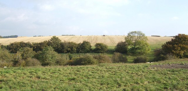
Foxholes Coppice Images

Images are sourced within 2km of 52.30226/-2.499288 or Grid Reference SO6667. Thanks to Geograph Open Source API. All images are credited.

Eastham church Eastham church in the Teme valley is located in a farmyard. Although the tower is brick, the body of the church is made from locally quarried tufa.
Eastham church
Eastham church in the Teme valley is located in a farmyard. Although the tower is brick, the body of the church is made from locally quarried tufa.
Gate and Sheep This footpath follows the river valley on its way to Eastham.
Gate and Sheep
This footpath follows the river valley on its way to Eastham.
Phone and Footpath The footpath leads to Eastham the phonebox could potentially lead to anywhere in the world.
Phone and Footpath
The footpath leads to Eastham the phonebox could potentially lead to anywhere in the world.
Black Wooden Barn This barn has perhaps seen better days since the planks on its sides have sagged a little.
Black Wooden Barn
This barn has perhaps seen better days since the planks on its sides have sagged a little.
Grazing by the River The trees at the edge of this field are following the source of the River Teme.
Grazing by the River
The trees at the edge of this field are following the source of the River Teme.
Farming Telegraph Poles These telegraph poles are almost ready for harvesting just as soon as they grow the footpegs on the top.  Hop poles really, I believe.
Farming Telegraph Poles
These telegraph poles are almost ready for harvesting just as soon as they grow the footpegs on the top. Hop poles really, I believe.
Eastham Bridge, nr Tenbury, Worcestershire Built in 1793 and rebuilt in 1898, it was a toll bridge until 1908.
Eastham Bridge, nr Tenbury, Worcestershire
Built in 1793 and rebuilt in 1898, it was a toll bridge until 1908.
All Saints Church, Hanley William
North Lodge, Hanley William
The Tally-Ho Inn, Broad Heath
Childsgrove Farm Taken from the start of the lane at a point where five routes converge, though one is now just a public footpath blocked by crops.
Childsgrove Farm
Taken from the start of the lane at a point where five routes converge, though one is now just a public footpath blocked by crops.
Start of the Bridleway by Hill Top Farm The bridleway goes all the way down to a mill site and then on to Newhouse Farm.
Start of the Bridleway by Hill Top Farm
The bridleway goes all the way down to a mill site and then on to Newhouse Farm.
Footpath to Highwood Looking from a junction of five roads and paths, one of the paths goes across this field - now ploughed up and planted. Lying on the ground is the remains of a 3" X 3" wooden post - very similar to those indicating a public footpath.
Footpath to Highwood
Looking from a junction of five roads and paths, one of the paths goes across this field - now ploughed up and planted. Lying on the ground is the remains of a 3" X 3" wooden post - very similar to those indicating a public footpath.
Sheep Pasture, Church Farm, Hanley William Looking towards the Abbeley Clock Tower <a href="https://www.geograph.org.uk/photo/392108">SO7466 : Abberley Clock Tower</a>
Sheep Pasture, Church Farm, Hanley William
Looking towards the Abbeley Clock Tower SO7466 : Abberley Clock Tower
Bridleway south of Hillwood Farm Pleasant rolling countryside in west Worcestershire.
Bridleway south of Hillwood Farm
Pleasant rolling countryside in west Worcestershire.
Wooded hillside View east of the farm road to Hillwood farm.
Wooded hillside
View east of the farm road to Hillwood farm.
Grazing land and arable Typical scenery of the countryside east of Tenbury.
Grazing land and arable
Typical scenery of the countryside east of Tenbury.
Hillwood Farm Not a hive of activity.
Hillwood Farm
Not a hive of activity.
Show me another place!

Foxholes Coppice is located at Grid Ref: SO6667 (Lat: 52.30226, Lng: -2.499288)

Administrative County: Worcestershire

District: Malvern Hills

Police Authority: West Mercia

What 3 Words

///chucked.motorist.sweeper. Near Collington, Herefordshire

Related Wikis

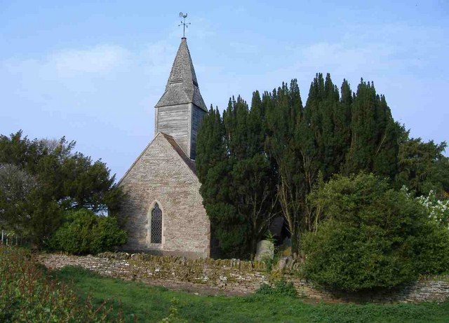
Eastham, Worcestershire

Eastham is a village and civil parish in the Malvern Hills District in the county of Worcestershire, England. It had a population of 254 in 2021.Eastham...

Hanley, Worcestershire

Hanley is a civil parish in the district of Malvern Hills in the county of Worcestershire, England. Hanley William and Hanley Child are places within the...

Hanley William

Hanley William is a village and former civil parish, now in the parish of Hanley, in the Malvern Hills district, in the county of Worcestershire, England...
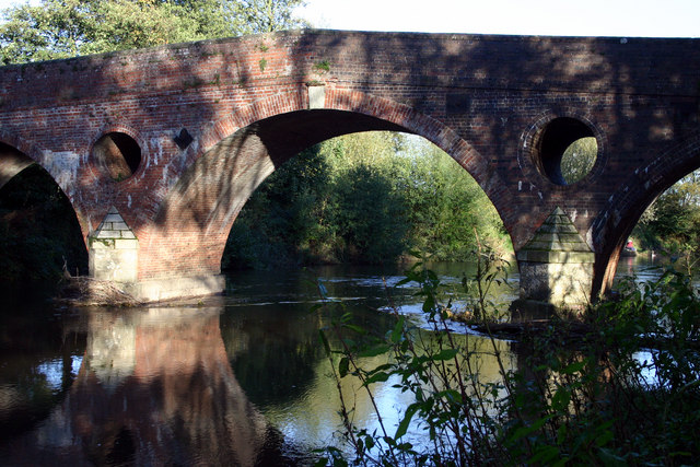
Eastham bridge

Eastham bridge was a Grade II listed bridge over the River Teme at Eastham, near Tenbury Wells, Worcestershire, England. Built as a toll bridge in 1793...

Nearby Amenities

Located within 500m of 52.30226,-2.499288
Bus Stop
Eastham Villa
Bus: yes
Naptan AtcoCode: 2000G199700
Naptan Bearing: NE
Naptan CommonName: Eastham Villa
Naptan Indicator: Opp
Naptan Landmark: Eastham Villa
Naptan NaptanCode: wocdpapd
Naptan Street: Village Road
Naptan Verified: no
Public Transport: platform
Source: naptan_import
Lat/Long: 52.3015553/-2.5037238
Post Box
Collection Times: Mo-Fr 09:00; Sa 09:00
Post Box Design: hovis
Post Box Type: lamp
Ref: WR15 91
Royal Cypher: GR
Royal Cypher Wikidata: Q33102273
Lat/Long: 52.3006321/-2.5030776
Hill Wood
Power: pole
Transformer: distribution
Voltage Primary: 11000
Lat/Long: 52.3013468/-2.4967339
Power: pole
Lat/Long: 52.3007879/-2.4979553
Power: pole
Lat/Long: 52.3009491/-2.4988592
Power: pole
Lat/Long: 52.3012919/-2.5008541
Bine Farm
Power: pole
Transformer: distribution
Voltage Primary: 11000
Lat/Long: 52.2998591/-2.5023468
Power: pole
Lat/Long: 52.3003971/-2.5021604
Power: pole
Lat/Long: 52.3009195/-2.5019746
Foxholes Coppice
Power: pole
Transformer: distribution
Voltage Primary: 11000
Lat/Long: 52.3022969/-2.5012739
Power: pole
Lat/Long: 52.302007/-2.5014576
Power: pole
Lat/Long: 52.3014569/-2.5017885
Eastham Villa
Power: pole
Transformer: distribution
Voltage Primary: 11000
Lat/Long: 52.3016027/-2.5026573
Power: pole
Lat/Long: 52.3018052/-2.5038998
Highwood
Power: pole
Transformer: distribution
Voltage Primary: 11000
Lat/Long: 52.3010803/-2.505082
Power: pole
Lat/Long: 52.3017372/-2.5053214
Power: pole
Lat/Long: 52.3016626/-2.506464
The data included in this document is from www.openstreetmap.org. The data is made available under ODbL.

Have you been to Foxholes Coppice?

Leave your review of Foxholes Coppice below (or comments, questions and feedback).