Richmond Wood

Wood, Forest in Lancashire Ribble Valley

England

Richmond Wood

Trig point on Spire Hill, Longridge Fell
Trig point on Spire Hill, Longridge Fell Credit: Greum

Richmond Wood, located in Lancashire, England, is a picturesque woodland area renowned for its natural beauty and diverse ecosystem. Spanning over several hectares, this enchanting forest is a haven for nature enthusiasts and outdoor adventurers alike.

Richmond Wood boasts a rich history, dating back centuries. It was originally part of the Richmond Estate, owned by the prominent Richmond family. The wood has since been preserved and protected as a natural heritage site, providing a glimpse into Lancashire's past.

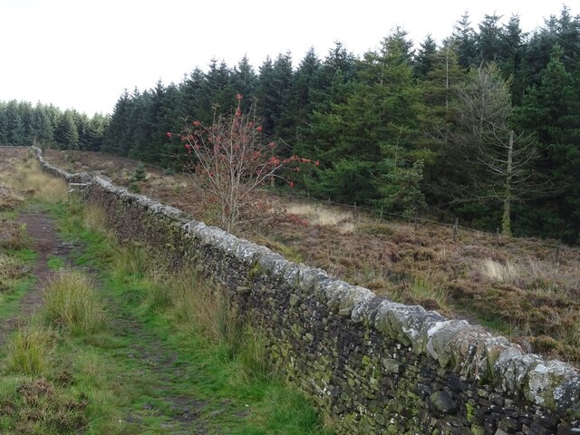
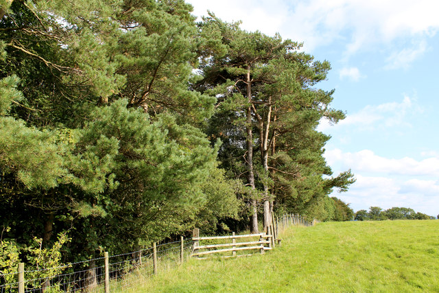
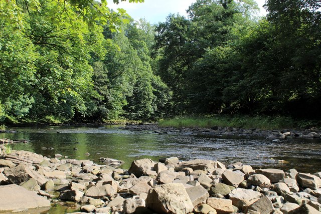
The woodland is characterized by its dense canopy of towering trees, primarily consisting of oak, ash, and beech. These majestic giants provide a habitat for a wide array of wildlife, including deer, squirrels, and numerous species of birds. Birdwatchers can delight in spotting woodpeckers, owls, and various migratory birds that call Richmond Wood home.

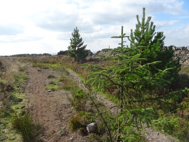
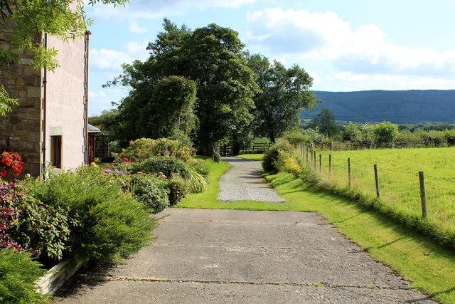
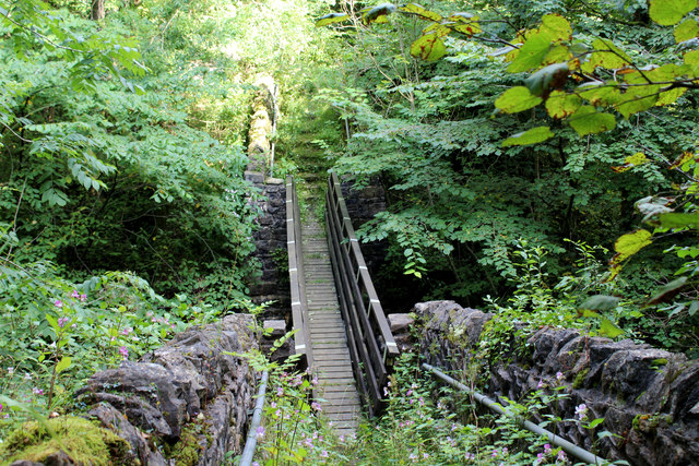
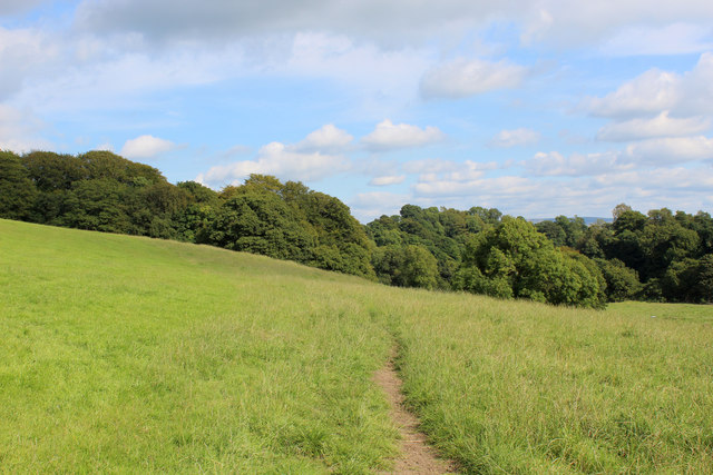
Visitors to Richmond Wood can explore its well-maintained walking trails that wind through the forest, offering a serene and tranquil atmosphere. The peacefulness of the wood is enhanced by the gentle rustling of leaves and the occasional chirping of birds, creating a soothing and immersive experience.

Nature lovers can also enjoy the vibrant flora that adorns Richmond Wood, with colorful wildflowers carpeting the forest floor during spring and summer months. This is a true paradise for botany enthusiasts, who can delight in identifying different plant species.

Richmond Wood is a cherished natural gem in Lancashire, offering a sanctuary for wildlife and a peaceful retreat for those seeking solace in nature's embrace. Its scenic beauty, diverse ecosystem, and rich history make it a must-visit destination for both locals and tourists.

If you have any feedback on the listing, please let us know in the comments section below.

Richmond Wood Images

Images are sourced within 2km of 53.877156/-2.5178658 or Grid Reference SD6642. Thanks to Geograph Open Source API. All images are credited.

Trig point on Spire Hill, Longridge Fell
Wall on Spire Hill, Longridge Fell
Spire Hill, Longridge Fell Hillside facing westwards.
Spire Hill, Longridge Fell
Hillside facing westwards.
Spire Hill, Longridge Fell Hillside, facing eastwards.
Spire Hill, Longridge Fell
Hillside, facing eastwards.
Young pine trees, Longridge Fell
River Hodder Looking downstream from Doeford Bridge.
River Hodder
Looking downstream from Doeford Bridge.
Longridge Fell Trig Point
Looking towards Head of Moor The road to the right leads to Chipping.
Looking towards Head of Moor
The road to the right leads to Chipping.
Footpath leading into Limes Wood Once over the stile, the footpath plunges steeply down into the woods to cross a stream.
Footpath leading into Limes Wood
Once over the stile, the footpath plunges steeply down into the woods to cross a stream.
Leaving Lees House Farm A track leads south east beside Limes Wood
Leaving Lees House Farm
A track leads south east beside Limes Wood
Footbridge in Limes Wood The footbridge spans a deep chasm that contains a rushing stream - the content is the result of the merging of Cow Ark Brook and Mill Brook.
The bridge is substantial, but the footpath is crumbling into decay and is hard to follow as it is smothered in vegetation.
Footbridge in Limes Wood
The footbridge spans a deep chasm that contains a rushing stream - the content is the result of the merging of Cow Ark Brook and Mill Brook. The bridge is substantial, but the footpath is crumbling into decay and is hard to follow as it is smothered in vegetation.
Footpath heading towards Paper Mill Wood The footpath leaving Limes Wood is hard to follow, not being very evident on the ground and no indicating signage.  It only appears in physical form at this point, before submerging into grass.
Footpath heading towards Paper Mill Wood
The footpath leaving Limes Wood is hard to follow, not being very evident on the ground and no indicating signage. It only appears in physical form at this point, before submerging into grass.
River Hodder in Paper Mill Wood The river in a particularly pleasant setting - but the footpath I was following completely disappeared and progress through the woods is almost impossible due to the extreme steep sided nature of the terrain.
No footpath signs were in evidence, although I found a battered stile which was beyond useless.
River Hodder in Paper Mill Wood
The river in a particularly pleasant setting - but the footpath I was following completely disappeared and progress through the woods is almost impossible due to the extreme steep sided nature of the terrain. No footpath signs were in evidence, although I found a battered stile which was beyond useless.
Road junction at Middle Lees
Approaching a road junction near Cow Ark Straight on for Chipping and Longridge, left for Waddington, Clitheroe and Whalley.
Approaching a road junction near Cow Ark
Straight on for Chipping and Longridge, left for Waddington, Clitheroe and Whalley.
Road outside Bull Hill Section of the road between Clitheroe and Chipping - at the northern foot of Longridge Fell.
Road outside Bull Hill
Section of the road between Clitheroe and Chipping - at the northern foot of Longridge Fell.
Approaching Planetree Cottage A sign on the dwelling stated that this was "Planetree Cottage"
Located on the road between Clitheroe and Chipping at the northern foot of Longridge Fell, in the Hodder Valley.
Approaching Planetree Cottage
A sign on the dwelling stated that this was "Planetree Cottage" Located on the road between Clitheroe and Chipping at the northern foot of Longridge Fell, in the Hodder Valley.
Pasture by New Spring Pasture in the Hodder Valley
Pasture by New Spring
Pasture in the Hodder Valley
Show me another place!

Richmond Wood is located at Grid Ref: SD6642 (Lat: 53.877156, Lng: -2.5178658)

Administrative County: Lancashire

District: Ribble Valley

Police Authority: Lancashire

What 3 Words

///curls.frown.maker. Near Waddington, Lancashire

Related Wikis

River Loud

The River Loud is a river of Lancashire, England. Starting out on Parlick, the Loud meanders mainly through the parish of Chipping, tracing its course...
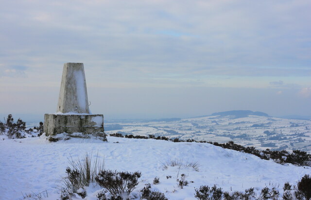
Longridge Fell

Longridge Fell is the most southerly fell in England, near the town of Longridge, Lancashire. It lies at the southern end of the Forest of Bowland Area...

Lower Lees Farmhouse

Lower Lees Farmhouse is a historic building in the English parish of Bowland Forest Low, Lancashire. It is Grade II listed, built in 1678, and is a sandstone...

Higher Lees Farmhouse

Higher Lees Farmhouse is an historic building in the English parish of Bowland Forest Low, Lancashire. It is Grade II listed, built around 1780, and is...

Nearby Amenities

Located within 500m of 53.877156,-2.5178658
The data included in this document is from www.openstreetmap.org. The data is made available under ODbL.

Have you been to Richmond Wood?

Leave your review of Richmond Wood below (or comments, questions and feedback).