Hill Covert

Wood, Forest in Gloucestershire

England

Hill Covert

Path through grass, Buckover, South Gloucestershire The A38 is on the left.
Path through grass, Buckover, South Gloucestershire Credit: Jaggery

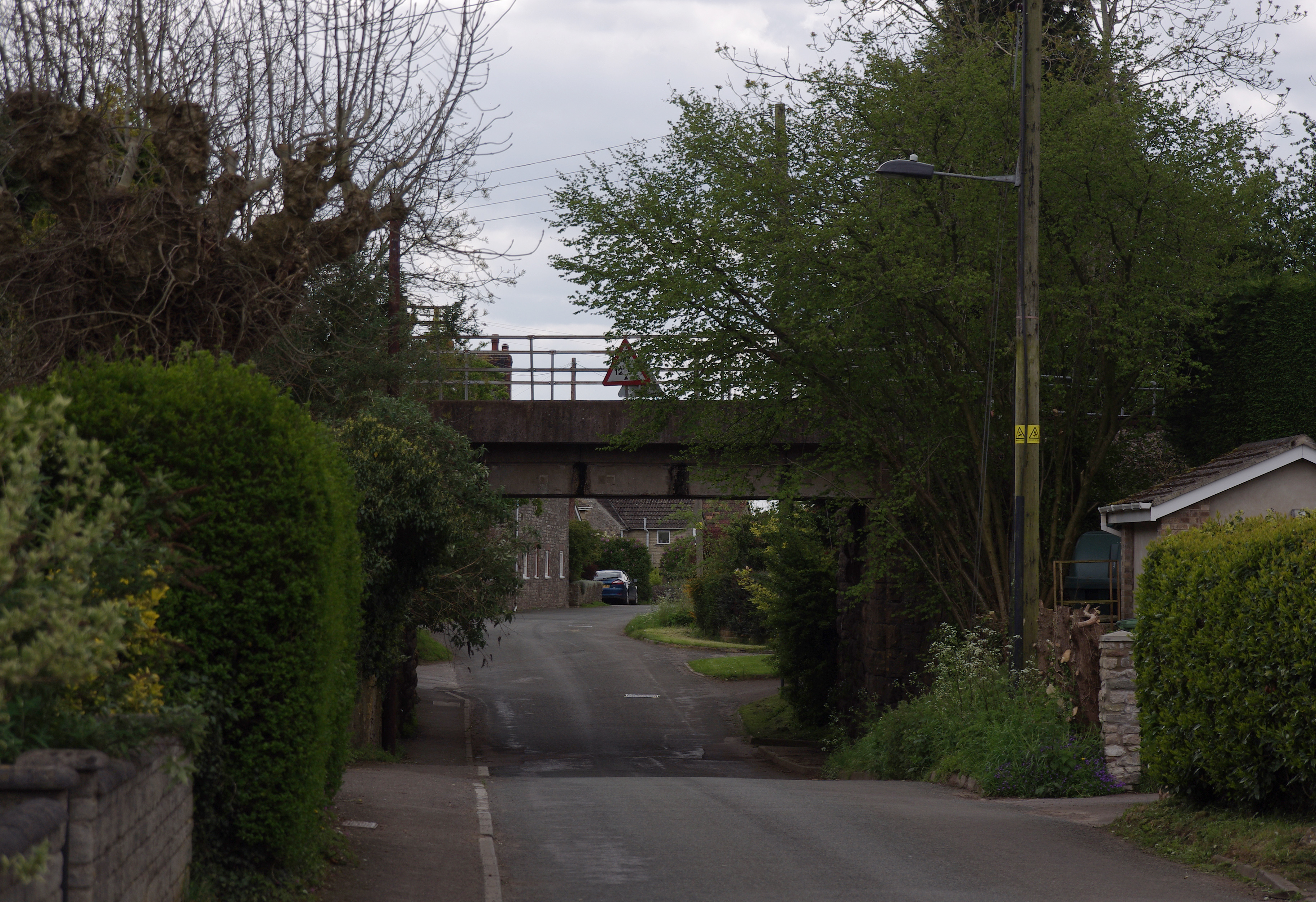
Hill Covert is a picturesque woodland area located in Gloucestershire, England. Situated within the larger Forest of Dean, Hill Covert is renowned for its natural beauty and tranquil atmosphere. The woodland covers an expansive area, providing a haven for various wildlife species and offering visitors a chance to immerse themselves in the wonders of nature.

The forest is predominantly composed of deciduous trees, including oak, beech, and ash, which create a vibrant and ever-changing landscape throughout the seasons. The thick canopy formed by these trees provides shade and shelter, making it an ideal habitat for a diverse range of flora and fauna.

Hill Covert features several walking trails, allowing visitors to explore its enchanting surroundings. These trails vary in difficulty, catering to both casual strollers and avid hikers. Along the way, one may encounter an array of wildlife, such as deer, badgers, and various bird species, making it a popular spot for nature enthusiasts and wildlife photographers.

The forest also boasts a rich history, with evidence of human habitation dating back to the prehistoric era. Archaeological finds, including ancient burial mounds and Iron Age forts, provide glimpses into the area's past. Today, remnants of old charcoal pits and mining shafts can still be seen, serving as a reminder of the region's industrial heritage.

Overall, Hill Covert in Gloucestershire offers visitors a chance to escape the hustle and bustle of everyday life and reconnect with nature. Its stunning woodland scenery, diverse wildlife, and historical significance make it a must-visit destination for anyone seeking tranquility and a deeper appreciation for the natural world.

If you have any feedback on the listing, please let us know in the comments section below.
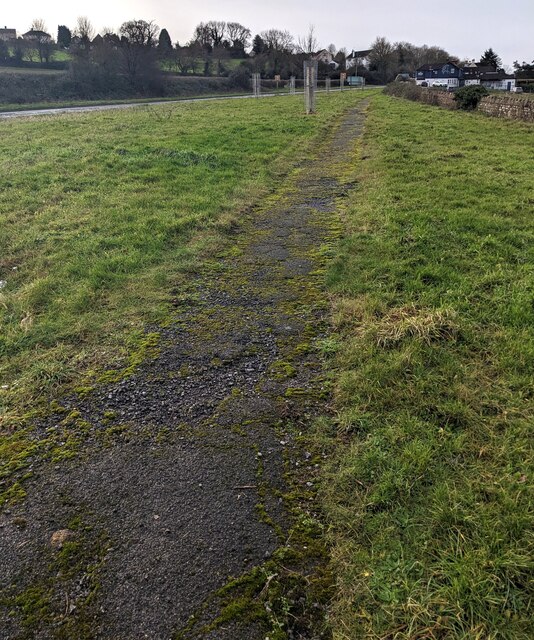
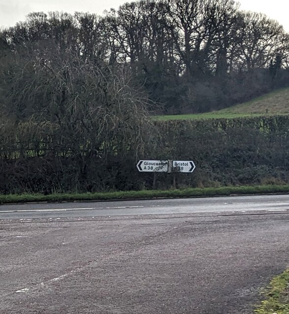
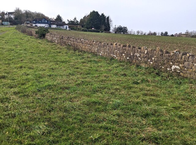
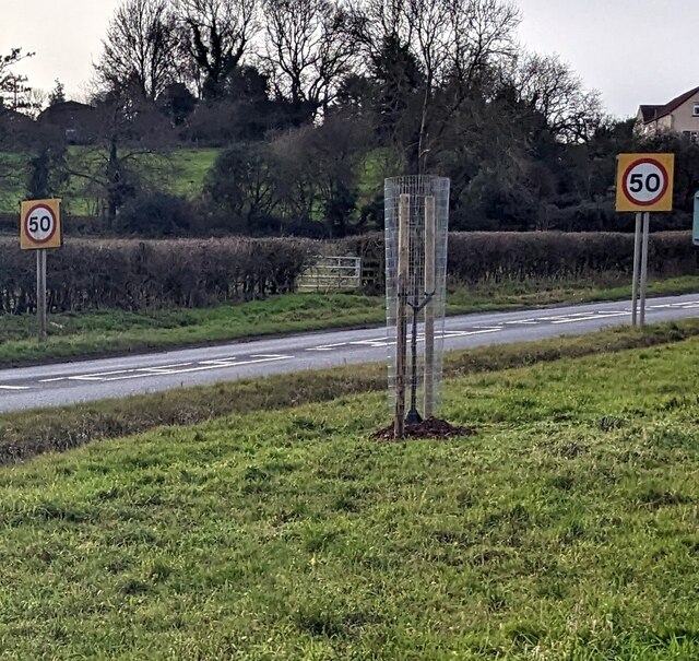
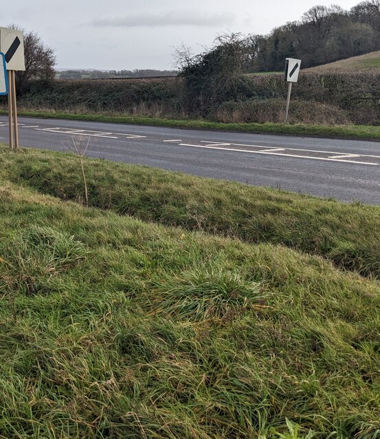
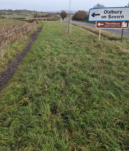
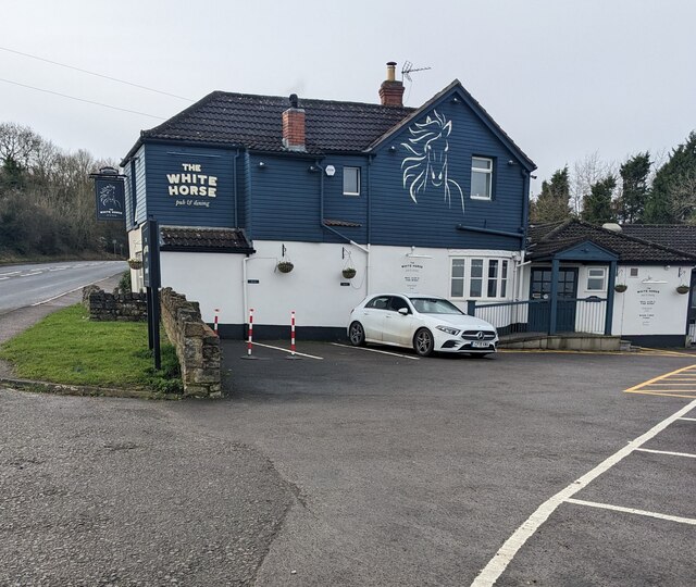
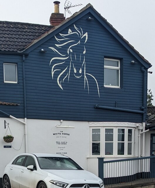
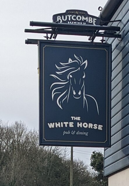
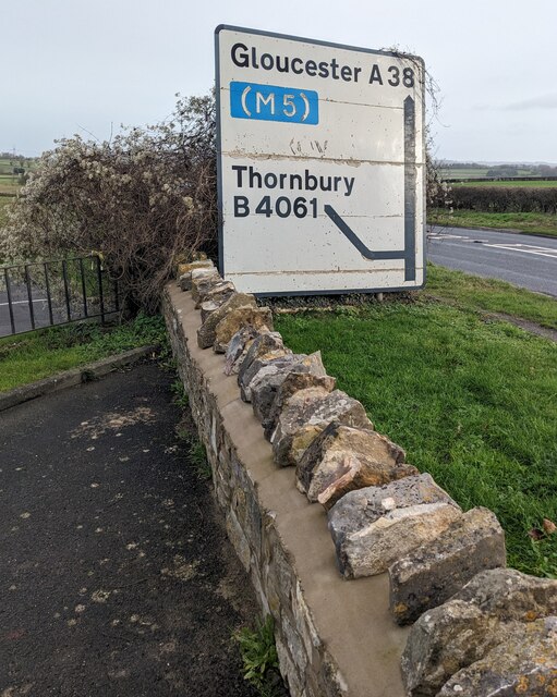
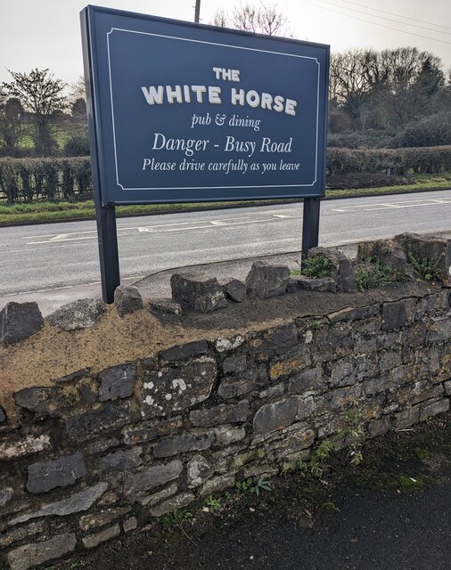
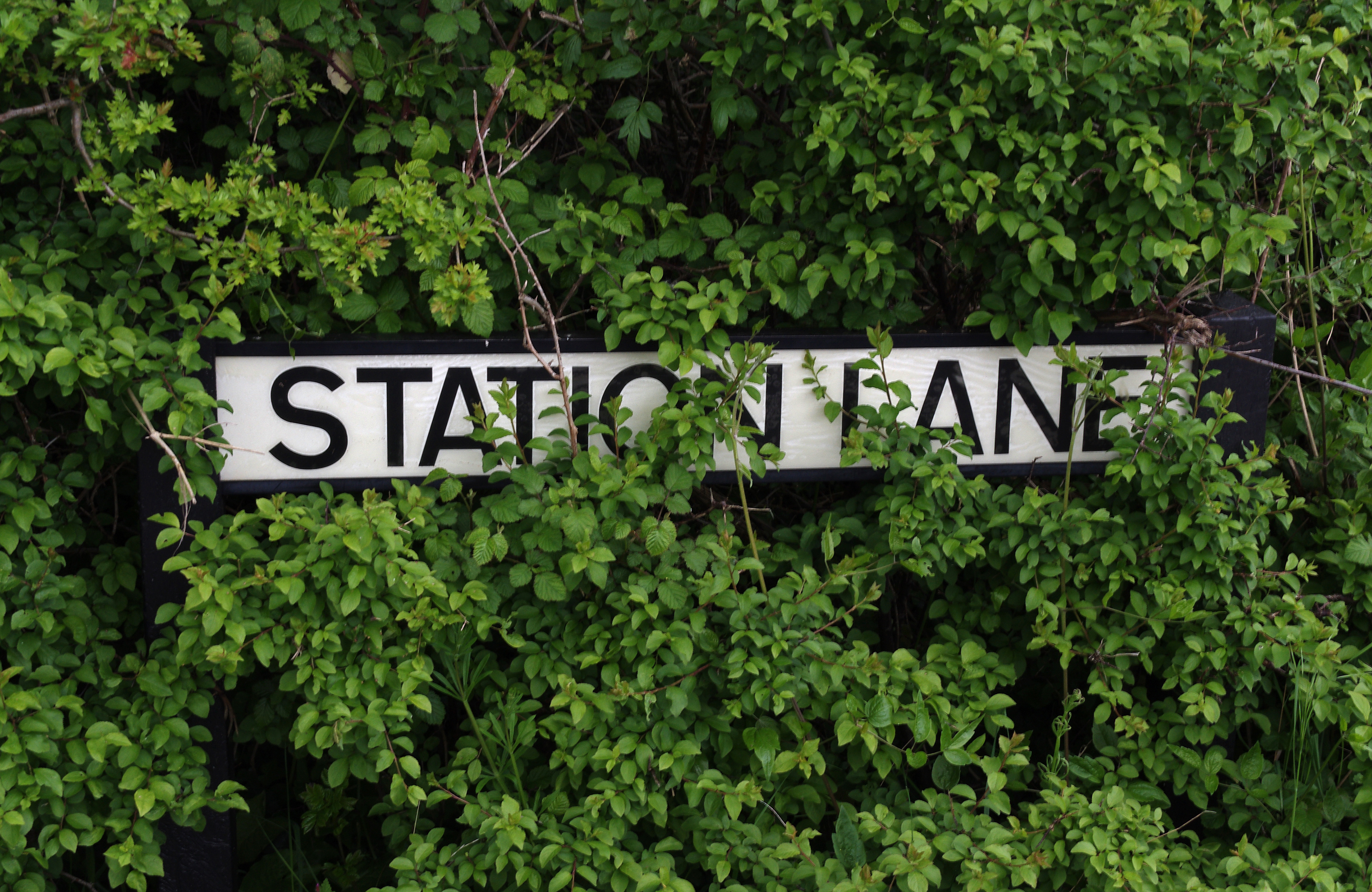
Hill Covert Images

Images are sourced within 2km of 51.594917/-2.4788872 or Grid Reference ST6688. Thanks to Geograph Open Source API. All images are credited.

Path through grass, Buckover, South Gloucestershire The A38 is on the left.
Path through grass, Buckover, South Gloucestershire
The A38 is on the left.
A38 directions, Buckover, South Gloucestershire Facing the B4061. Left for Gloucester, right for Bristol.
A38 directions, Buckover, South Gloucestershire
Facing the B4061. Left for Gloucester, right for Bristol.
Long stone wall, Buckover, South Gloucestershire Set back from the A38.
Long stone wall, Buckover, South Gloucestershire
Set back from the A38.
Start of the 50 zone, Buckover, South Gloucestershire The National Speed Limit on the A38 drops to 50mph.
Start of the 50 zone, Buckover, South Gloucestershire
The National Speed Limit on the A38 drops to 50mph.
End of the 50 zone, Buckover, South Gloucestershire The 50mph speed limit on the A38 increases to the National Speed Limit.
End of the 50 zone, Buckover, South Gloucestershire
The 50mph speed limit on the A38 increases to the National Speed Limit.
Directions alongside the A38, Buckover, South Gloucestershire Turn left onto the B4061 ahead for Oldbury on Severn and Thornbury (Historic Market Town).
Directions alongside the A38, Buckover, South Gloucestershire
Turn left onto the B4061 ahead for Oldbury on Severn and Thornbury (Historic Market Town).
The White Horse, Buckover, South Gloucestershire In January 2023 the  White Horse nameboard shows "pub & dining".
The White Horse, Buckover, South Gloucestershire
In January 2023 the White Horse nameboard shows "pub & dining".
White Horse depiction, Buckover, South Gloucestershire On the wall here. <a title="https://www.geograph.org.uk/photo/7372807" href="https://www.geograph.org.uk/photo/7372807">Link</a>
White Horse depiction, Buckover, South Gloucestershire
On the wall here. Link
The White Horse pub & dining name sign, Buckover Hanging from a wall bracket on the left here <a title="https://www.geograph.org.uk/photo/7372807" href="https://www.geograph.org.uk/photo/7372807">Link</a> in January 2023.
The White Horse pub & dining name sign, Buckover
Hanging from a wall bracket on the left here Link in January 2023.
Gloucester and Thornbury directions, Buckover  Alongside the A38. The White Horse pub & dining <a title="https://www.geograph.org.uk/photo/7372807" href="https://www.geograph.org.uk/photo/7372807">Link</a> is behind the camera.
Gloucester and Thornbury directions, Buckover
Alongside the A38. The White Horse pub & dining Link is behind the camera.
Danger -  Busy Road, Buckover, South Gloucestershire Please drive carefully as you leave the White Horse pub & dining <a title="https://www.geograph.org.uk/photo/7372807" href="https://www.geograph.org.uk/photo/7372807">Link</a> and enter the A38.
Danger - Busy Road, Buckover, South Gloucestershire
Please drive carefully as you leave the White Horse pub & dining Link and enter the A38.
Down Chapel Lane, Milbury Heath, South Gloucestershire Chapel Lane descends towards the A38.
Down Chapel Lane, Milbury Heath, South Gloucestershire
Chapel Lane descends towards the A38.
Former chapel, Chapel Lane, Milbury Heath, South Gloucestershire In residential use in 2023. 
A plaque <a title="https://www.geograph.org.uk/photo/7373490" href="https://www.geograph.org.uk/photo/7373490">Link</a> on the wall shows MEMORIAL CHAPEL 1894.
Former chapel, Chapel Lane, Milbury Heath, South Gloucestershire
In residential use in 2023. A plaque Link on the wall shows MEMORIAL CHAPEL 1894.
Late Victorian plaque, Milbury Heath, South Gloucestershire The plaque on the front of this <a title="https://www.geograph.org.uk/photo/7373483" href="https://www.geograph.org.uk/photo/7373483">Link</a> house records that it was built in 1894 as a Memorial Chapel.
Late Victorian plaque, Milbury Heath, South Gloucestershire
The plaque on the front of this Link house records that it was built in 1894 as a Memorial Chapel.
Green Lane, Milbury Heath, South Gloucestershire Viewed across Cuttsheath Road.
Green Lane, Milbury Heath, South Gloucestershire
Viewed across Cuttsheath Road.
End of the 30 zone,  Milbury Heath, South Gloucestershire East of the Green Lane junction, the 30mph speed limit 
on Cuttsheath Road increases to the National Speed Limit.
End of the 30 zone, Milbury Heath, South Gloucestershire
East of the Green Lane junction, the 30mph speed limit on Cuttsheath Road increases to the National Speed Limit.
Junction in Milbury Heath, South Gloucestershire Looking across Cuttsheath Road towards Green Lane. <a title="https://www.geograph.org.uk/photo/7373496" href="https://www.geograph.org.uk/photo/7373496">Link</a>
Junction in Milbury Heath, South Gloucestershire
Looking across Cuttsheath Road towards Green Lane. Link
Milbury Heath duckpond, South Gloucestershire No ducks on the duckpond in the hamlet of Milbury Heath on January 1st 2023.
Milbury Heath duckpond, South Gloucestershire
No ducks on the duckpond in the hamlet of Milbury Heath on January 1st 2023.
Show me another place!

Hill Covert is located at Grid Ref: ST6688 (Lat: 51.594917, Lng: -2.4788872)

Unitary Authority: South Gloucestershire

Police Authority: Avon and Somerset

What 3 Words

///open.overt.inclines. Near Tytherington, Gloucestershire

Nearby Locations

Tytherington Hill Covert

Related Wikis

Tytherington Rocks F.C.

Tytherington Rocks F.C. is a football club based in Tytherington, near Thornbury, Gloucestershire, England. The club competes in the Hellenic League Division...

Tytherington railway station

Tytherington railway station served the village of Tytherington in South Gloucestershire. The station was on the Yate to Thornbury branch line that was...

Tytherington, Gloucestershire

Tytherington is a village in the civil parish of Tytherington and Itchington, in the South Gloucestershire district, in the ceremonial county of Gloucestershire...

Tytherington Quarry

Tytherington Quarry (grid reference ST662888) is a 0.9 hectare geological Site of Special Scientific Interest near the village of Tytherington, South Gloucestershire...

Milbury Heath

Milbury Heath is a hamlet in South Gloucestershire, England, located east of Thornbury. The hamlet has a garden centre and a few other farm shops. The...

Buckover Road Cutting

Buckover Road Cutting (grid reference ST665906) is a 1.7 hectare geological Site of Special Scientific Interest near the town of Thornbury, South Gloucestershire...

Bagstone

Bagstone is a village in South Gloucestershire, England. Bagstone is on the B4058 between Rangeworthy and Cromhall. == References == == External links... ==

Thornbury and Yate (UK Parliament constituency)

Thornbury and Yate is a constituency represented in the House of Commons of the UK Parliament since the 2015 election by Luke Hall, a member of the Conservative...

Nearby Amenities

Located within 500m of 51.594917,-2.4788872
Tytherington
Place: village
Postal Code: GL12
Website: https://www.tytheringtonpc.org.uk/
Wikidata: Q7861831
Wikipedia: en:Tytherington, Gloucestershire
Lat/Long: 51.5927747/-2.4754858
Post Box
Collection Times: Mo-Fr 07:00; Sa 09:00; Su off
Drive Through: no
Operator: Royal Mail
Post Box Type: lamp
Postal Code: GL12
Ref: GL12 189D
Royal Cypher: EIIR
Royal Cypher Wikidata: Q33102113
Source: survey
Lat/Long: 51.5924536/-2.4804268
Public Bookcase
Swap Box
Booth: K6
Covered: booth
Disused Amenity: telephone
Man Made: telephone_box
Public Bookcase Type: phone_box
Lat/Long: 51.5924677/-2.48039
Bus Stop
Stowell Hill Road
Bench: no
Bin: no
Lit: no
Naptan AtcoCode: 0170SGB20766
Naptan Bearing: E
Naptan CommonName: Stowell Hill Road
Naptan NaptanCode: sglgptj
Naptan Street: Stow Hill Road
Naptan Verified: no
Shelter: no
Source: naptan_import
Tactile Paving: no
Lat/Long: 51.5962691/-2.4836407
Bus Stop
Stowell Hill Road
Bench: no
Bin: no
Lit: no
Naptan AtcoCode: 0170SGB20767
Naptan Bearing: NE
Naptan CommonName: Stowell Hill Road
Naptan Crossing: Tytherington Road
Naptan NaptanCode: sglgpmw
Naptan Street: Stow Hill Road
Naptan Verified: no
Shelter: no
Source: naptan_import
Tactile Paving: no
Lat/Long: 51.5961964/-2.4838276
Bus Stop
The Swan
Naptan AtcoCode: 0170SGX38432
Naptan Bearing: N
Naptan CommonName: The Swan
Naptan Crossing: The Orchard
Naptan NaptanCode: sglgtja
Naptan Street: West Street
Naptan Verified: yes
Source: naptan_import
Lat/Long: 51.5925076/-2.4802934
Power: pole
Source: Bing
Lat/Long: 51.5922757/-2.4730878
Waste Basket
Source: survey + Bing
Lat/Long: 51.5955194/-2.4743571
Bench
Source: survey + Bing
Lat/Long: 51.5955418/-2.4742974
Bench
Source: survey + Bing
Lat/Long: 51.5956051/-2.4741397
Leisure: playground
Lat/Long: 51.5929352/-2.4808153
Power: pole
Source: Bing
Lat/Long: 51.5945464/-2.4727216
Power: pole
Source: Bing
Lat/Long: 51.5949248/-2.4732
Power: pole
Source: Bing
Lat/Long: 51.5952839/-2.4737462
Power: pole
Source: Bing
Lat/Long: 51.595539/-2.4742191
Power: pole
Source: Bing
Lat/Long: 51.595974/-2.4750028
Power: pole
Source: Bing
Lat/Long: 51.5966576/-2.475809
Power: pole
Source: Bing
Lat/Long: 51.5972686/-2.4765493
Power: pole
Source: Bing
Lat/Long: 51.5978702/-2.4772795
Power: pole
Source: Bing
Lat/Long: 51.5984392/-2.4780916
Power: pole
Source: Bing
Lat/Long: 51.5990351/-2.4788609
Castle Quarry Activity Centre
Addr City: Tytherington
Addr Housename: Castle Quarry
Addr Postcode: GL12 8UQ
Addr Street: West Street
Leisure: outdoor_sports
Lat/Long: 51.5919787/-2.4835347
Power: pole
Source: Bing
Lat/Long: 51.5968086/-2.4752109
Power: pole
Source: Bing
Lat/Long: 51.5971135/-2.4740342
Power: pole
Source: Bing
Lat/Long: 51.5972659/-2.473431
Power: pole
Source: Bing
Lat/Long: 51.5910809/-2.4758466
Barrier: stile
Lat/Long: 51.5953987/-2.4767799
Tytherington War Memorial
Historic: memorial
Inscription: To the Glory of God in thankfulness for victory, and peace and in ever living honour of the men of this parish who gave their lives for their King and country in the European War 1914-1918 and whose names are inscribed hereon
Material: stone
Memorial: war_memorial
Source: survey
Wikidata: Q26677201
Lat/Long: 51.5928711/-2.4799152
Bench
Backrest: yes
Mapillary: 2868312776744188
Survey Date: 2018-05-09
Lat/Long: 51.5928427/-2.4798699
Street Lamp
Lat/Long: 51.5925735/-2.4801971
Street Lamp
Lat/Long: 51.5927131/-2.4800422
Bench
Backrest: yes
Lat/Long: 51.5927243/-2.4800523
Street Lamp
Lat/Long: 51.5956016/-2.4812646
Street Lamp
Lat/Long: 51.5955974/-2.4803969
Street Lamp
Lat/Long: 51.5955233/-2.4806799
Street Lamp
Lat/Long: 51.5954574/-2.4809937
Street Lamp
Lat/Long: 51.5945843/-2.4799007
Crossing
Crossing: uncontrolled
Tactile Paving: yes
Lat/Long: 51.5911709/-2.4775176
Tytherington
Historic Railway: station
Railway: site
Wikidata: Q7861839
Wikipedia: en:Tytherington railway station
Lat/Long: 51.5908204/-2.4798429
Crossing
Crossing: uncontrolled
Lat/Long: 51.5914158/-2.478856
Street Lamp
Ref: 4
Lat/Long: 51.5913225/-2.4780889
Street Lamp
Ref: 5
Lat/Long: 51.5910809/-2.478235
Street Lamp
Ref: 3
Lat/Long: 51.5911472/-2.4776322
Barrier: kissing_gate
Foot: yes
Lat/Long: 51.591123/-2.4772147
Street Lamp
Ref: 1
Lat/Long: 51.5913446/-2.4766982
Crossing
Crossing: uncontrolled
Tactile Paving: yes
Lat/Long: 51.5913489/-2.4782872
Street Lamp
Lat/Long: 51.5914225/-2.4791135
Street Lamp
Lat/Long: 51.5914/-2.4785355
Street Lamp
Lat/Long: 51.5914683/-2.4788909
Street Lamp
Lat/Long: 51.5915025/-2.4785395
Give Way
Direction: backward
Lat/Long: 51.5927489/-2.4794756
Give Way
Direction: forward
Lat/Long: 51.5924019/-2.4805186
Give Way
Direction: forward
Lat/Long: 51.5924287/-2.4801784
Give Way
Direction: forward
Lat/Long: 51.5927594/-2.4799292
Give Way
Direction: backward
Lat/Long: 51.5917766/-2.4797525
Give Way
Lat/Long: 51.5917362/-2.4795507
Street Lamp
Ref: 8
Lat/Long: 51.5905727/-2.4784309
Street Lamp
Ref: 2
Lat/Long: 51.5911388/-2.4771112
Street Lamp
Ref: 6
Lat/Long: 51.5908551/-2.4784657
Street Lamp
Ref: 7
Lat/Long: 51.5906002/-2.4786723
Welcome to Tower Hill Solar Farm
Board Type: information
Information: board
Tourism: information
Lat/Long: 51.5967258/-2.477986
Welcome to Tower Hill Solar Farm
Board Type: information
Information: board
Tourism: information
Lat/Long: 51.5975788/-2.4788577
Grit Bin
Colour: green
Material: plastic
Lat/Long: 51.591727/-2.4826537
Power: pole
Lat/Long: 51.5946743/-2.4821583
Power: pole
Lat/Long: 51.5949012/-2.484121
Power: pole
Lat/Long: 51.5945766/-2.4857715
Direction: 135
Generator Method: photovoltaic
Generator Output Electricity: yes
Generator Solar Modules: 18
Generator Source: solar
Generator Type: solar_photovoltaic_panel
Location: roof
Power: generator
Lat/Long: 51.5906055/-2.4800138
Direction: 110
Generator Method: photovoltaic
Generator Output Electricity: yes
Generator Solar Modules: 16
Generator Source: solar
Generator Type: solar_photovoltaic_panel
Location: roof
Power: generator
Lat/Long: 51.5908358/-2.4806579
Direction: 165
Generator Method: photovoltaic
Generator Output Electricity: yes
Generator Solar Modules: 12
Generator Source: solar
Generator Type: solar_photovoltaic_panel
Location: roof
Power: generator
Lat/Long: 51.5915275/-2.4823926
Direction: 250
Generator Method: photovoltaic
Generator Output Electricity: yes
Generator Solar Modules: 8
Generator Source: solar
Generator Type: solar_photovoltaic_panel
Location: roof
Power: generator
Lat/Long: 51.5915389/-2.4825136
Direction: 150
Generator Method: photovoltaic
Generator Output Electricity: yes
Generator Solar Modules: 14
Generator Source: solar
Generator Type: solar_photovoltaic_panel
Location: roof
Power: generator
Lat/Long: 51.5916595/-2.4818682
Direction: 175
Generator Method: photovoltaic
Generator Output Electricity: yes
Generator Solar Modules: 14
Generator Source: solar
Generator Type: solar_photovoltaic_panel
Location: roof
Power: generator
Lat/Long: 51.5923882/-2.4811436
Direction: 150
Generator Method: photovoltaic
Generator Output Electricity: yes
Generator Source: solar
Generator Type: solar_photovoltaic_panel
Location: roof
Power: generator
Lat/Long: 51.5935832/-2.4769623
Direction: 150
Generator Method: photovoltaic
Generator Output Electricity: yes
Generator Source: solar
Generator Type: solar_photovoltaic_panel
Location: roof
Power: generator
Lat/Long: 51.5936492/-2.4769169
Direction: 140
Generator Method: photovoltaic
Generator Output Electricity: yes
Generator Solar Modules: 18
Generator Source: solar
Generator Type: solar_photovoltaic_panel
Location: roof
Power: generator
Lat/Long: 51.594864/-2.4733287
Barrier: stile
Lat/Long: 51.5953105/-2.472863
The data included in this document is from www.openstreetmap.org. The data is made available under ODbL.

Have you been to Hill Covert?

Leave your review of Hill Covert below (or comments, questions and feedback).