Hunters Bridge Coppice
Wood, Forest in Dorset
England
Hunters Bridge Coppice
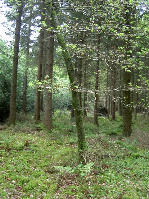
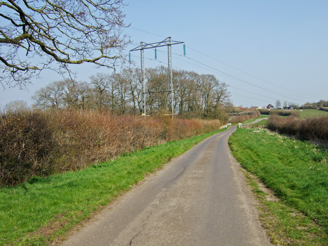
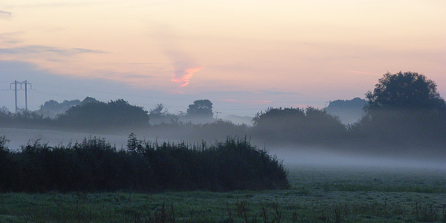
Hunters Bridge Coppice is a charming woodland area located in the county of Dorset, England. Covering an area of approximately 50 acres, this lush forest is a haven for nature enthusiasts and offers a tranquil escape from the bustling city life.
The coppice is predominantly composed of native broadleaf trees such as oak, beech, and ash, creating a diverse and vibrant ecosystem. The dense canopy provides ample shade, allowing for the growth of an array of woodland plants and wildflowers, including bluebells, primroses, and wood anemones.
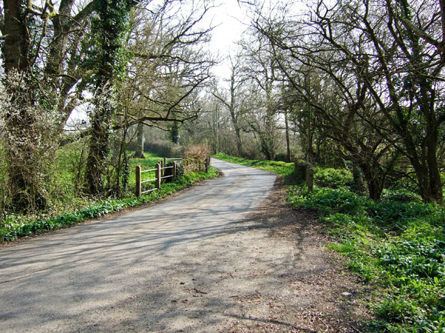
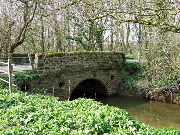
As visitors venture deeper into the coppice, they will discover a network of winding footpaths that lead to enchanting clearings and meandering streams. These babbling waterways serve as a vital habitat for a variety of wildlife, including otters, kingfishers, and a multitude of songbirds.
Hunters Bridge Coppice is also home to a rich diversity of fauna. Keen-eyed visitors may catch a glimpse of roe deer gracefully bounding through the undergrowth, or even spot the elusive red squirrel darting between the trees.
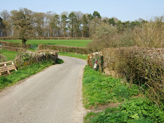
The forest is a popular destination for walkers, hikers, and nature photographers, who can capture the beauty of the changing seasons throughout the year. The autumn months, in particular, offer a stunning display of golden hues as the leaves change color, while spring brings a burst of new life and the sweet melodies of birdsong.
With its tranquil atmosphere and abundance of natural beauty, Hunters Bridge Coppice is a true gem in the heart of Dorset, inviting visitors to immerse themselves in the wonders of the natural world.
If you have any feedback on the listing, please let us know in the comments section below.
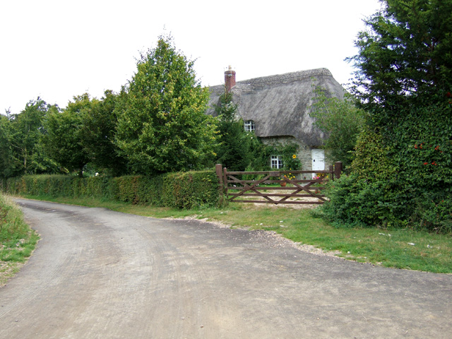
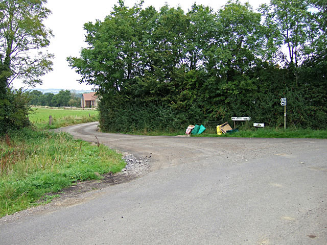
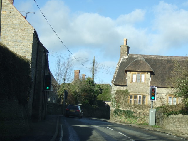
Hunters Bridge Coppice Images
Images are sourced within 2km of 50.897863/-2.4833157 or Grid Reference ST6611. Thanks to Geograph Open Source API. All images are credited.


Hunters Bridge Coppice is located at Grid Ref: ST6611 (Lat: 50.897863, Lng: -2.4833157)
Unitary Authority: Dorset
Police Authority: Dorset
What 3 Words
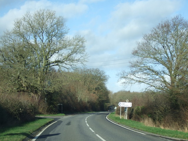
///plankton.dolls.repaying. Near Sherborne, Dorset
Nearby Locations
Related Wikis

Holnest SSSI, Dorset
Holnest SSSI, Dorset (grid reference ST667106) is a 54.83 hectare biological Site of Special Scientific Interest in Dorset, notified in 2004.The site has...

Holnest
Holnest is a village and civil parish in the county of Dorset in southern England. It lies in the Blackmore Vale 4 miles (6.4 km) south of Sherborne. It...
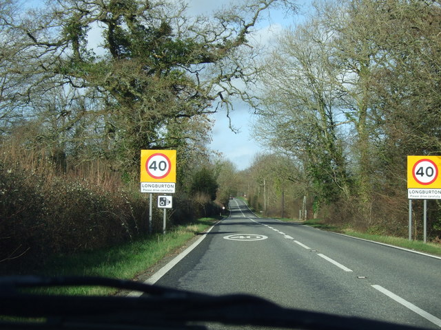
Longburton
Longburton or Long Burton is a village in Dorset, England, three miles (5 km) south of Sherborne. It is sited on a narrow outcrop of Cornbrash limestone...

Folke
Folke is a parish in the county of Dorset in southern England, situated in the Blackmore Vale, approximately 3.5 miles (5.6 km) south-east of Sherborne...
Folke Wood
Folke Wood is a wood near Folke in Dorset, England. It was planted by the Woodland Trust in 1985. It consists of native broadleaved trees as well as apple...

Alweston
Alweston is a village in Dorset, England, situated roughly 3.5 miles (5.6 km) southeast of Sherborne. Historically it belonged to the Parish of Folke,...

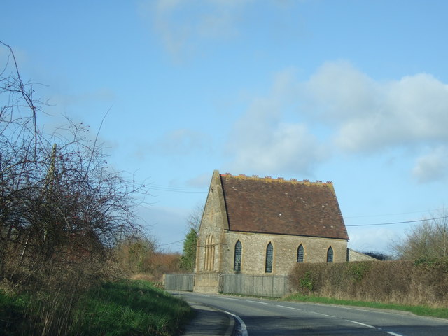
St Peter and St Paul's Church, Caundle Marsh
St Peter and St Paul's Church is a Church of England parish church in Caundle Marsh, Dorset, England. It was designed by Robert Howard Shout and built...
Caundle Marsh
Caundle Marsh is a village and civil parish in northwest Dorset, England, situated in the Blackmore Vale, 4 miles (6.4 km) southeast of Sherborne. The...
Have you been to Hunters Bridge Coppice?
Leave your review of Hunters Bridge Coppice below (or comments, questions and feedback).