King's Plantation
Wood, Forest in Dorset
England
King's Plantation
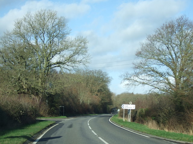
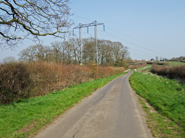
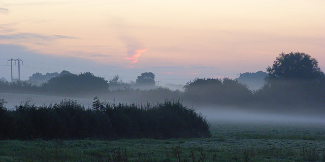
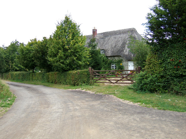
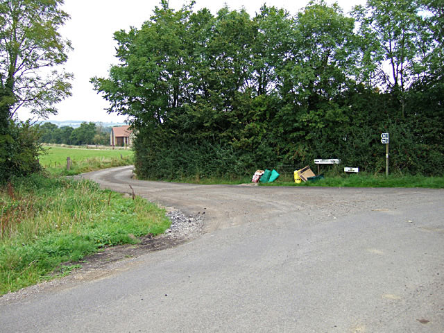
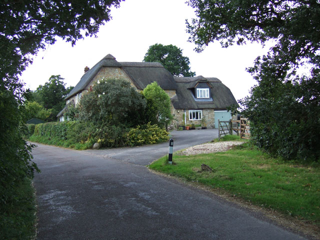
King's Plantation, Dorset, also known as Wood or Forest, is a historic site located in the county of Dorset, England. Spanning approximately 500 acres, this plantation is renowned for its picturesque landscapes and rich biodiversity. It is situated near the village of Tollard Royal, close to the borders of Hampshire and Wiltshire.
The plantation is predominantly composed of mature broadleaf trees, including oak, beech, ash, and birch, which provide a dense canopy, creating a unique and serene atmosphere. This lush woodland is home to a wide range of flora and fauna, making it a popular destination for nature enthusiasts and wildlife photographers.
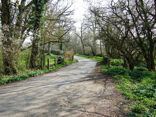
Visitors can enjoy a variety of walking trails and footpaths that meander through the plantation, offering breathtaking views and a chance to immerse oneself in nature. The paths are well-maintained, allowing for easy exploration and access to the different sections of the plantation.
In addition to its natural beauty, King's Plantation holds historical significance. It is believed to have been part of a medieval hunting forest, serving as a royal hunting ground for centuries. The remnants of ancient earthworks and boundaries can still be seen within the plantation, providing a glimpse into its past.
Overall, King's Plantation, Dorset, is a magnificent woodland that combines natural beauty, historical significance, and a haven for wildlife. It offers visitors a chance to escape the hustle and bustle of everyday life and immerse themselves in the tranquility and serenity of nature.
If you have any feedback on the listing, please let us know in the comments section below.
King's Plantation Images
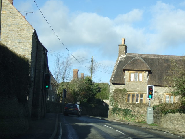
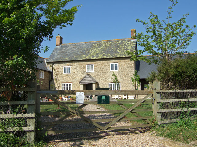
Images are sourced within 2km of 50.897636/-2.4727767 or Grid Reference ST6611. Thanks to Geograph Open Source API. All images are credited.


King's Plantation is located at Grid Ref: ST6611 (Lat: 50.897636, Lng: -2.4727767)
Unitary Authority: Dorset
Police Authority: Dorset
What 3 Words
///kilowatt.manual.chimp. Near Sherborne, Dorset
Nearby Locations
Related Wikis

Holnest SSSI, Dorset
Holnest SSSI, Dorset (grid reference ST667106) is a 54.83 hectare biological Site of Special Scientific Interest in Dorset, notified in 2004.The site has...

Holnest
Holnest is a village and civil parish in the county of Dorset in southern England. It lies in the Blackmore Vale 4 miles (6.4 km) south of Sherborne. It...

St Peter and St Paul's Church, Caundle Marsh
St Peter and St Paul's Church is a Church of England parish church in Caundle Marsh, Dorset, England. It was designed by Robert Howard Shout and built...
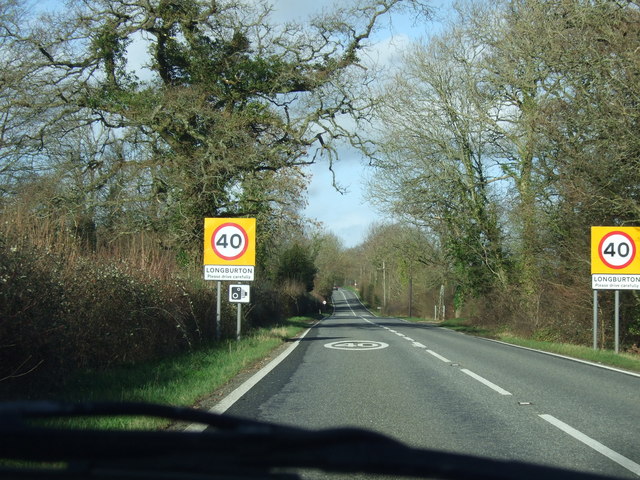
Longburton
Longburton or Long Burton is a village in Dorset, England, three miles (5 km) south of Sherborne. It is sited on a narrow outcrop of Cornbrash limestone...
Caundle Marsh
Caundle Marsh is a village and civil parish in northwest Dorset, England, situated in the Blackmore Vale, 4 miles (6.4 km) southeast of Sherborne. The...

Alweston
Alweston is a village in Dorset, England, situated roughly 3.5 miles (5.6 km) southeast of Sherborne. Historically it belonged to the Parish of Folke,...

Folke
Folke is a parish in the county of Dorset in southern England, situated in the Blackmore Vale, approximately 3.5 miles (5.6 km) south-east of Sherborne...
Folke Wood
Folke Wood is a wood near Folke in Dorset, England. It was planted by the Woodland Trust in 1985. It consists of native broadleaved trees as well as apple...
Have you been to King's Plantation?
Leave your review of King's Plantation below (or comments, questions and feedback).