Burton Coppice

Wood, Forest in Dorset

England

Burton Coppice

The turning to Leigh on the A352 near Holnest
The turning to Leigh on the A352 near Holnest Credit: Val Ghose

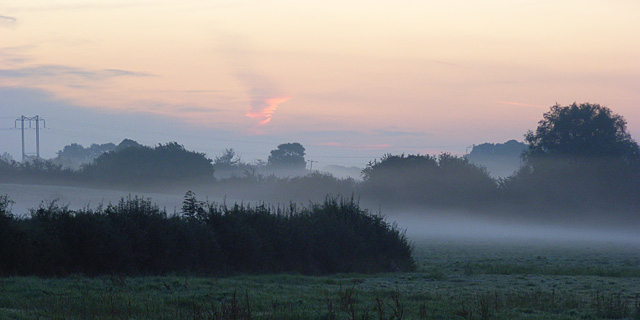
Burton Coppice is a charming woodland located in the county of Dorset, England. Covering an area of approximately 100 acres, it is a haven for nature enthusiasts and those seeking a peaceful retreat in the midst of the countryside. The copse is situated in the village of Burton, surrounded by picturesque landscapes and rolling hills.

The woodland comprises a diverse range of tree species, including oak, beech, birch, and ash, creating a rich and vibrant ecosystem. The forest floor is adorned with a carpet of bluebells during the spring months, creating a breathtaking sight that attracts visitors from far and wide.

Burton Coppice offers a network of walking trails, allowing visitors to explore its tranquil surroundings at their own pace. The paths wind through the trees, offering glimpses of wildlife such as deer, squirrels, and a variety of bird species. Nature enthusiasts will delight in the abundance of flora and fauna that call this woodland home.

The copse is also a popular spot for picnicking and family outings. The open meadows provide ample space for spreading out a blanket and enjoying a leisurely meal amidst the beauty of nature. Children can explore the forest, climb trees, and engage in imaginative play, making it an ideal destination for a day out with the family.

Burton Coppice, with its serene atmosphere and natural beauty, offers a welcome respite from the hustle and bustle of everyday life. Whether one is seeking solitude, a scenic walk, or a place to connect with nature, this woodland is sure to provide a memorable experience for all who visit.

If you have any feedback on the listing, please let us know in the comments section below.

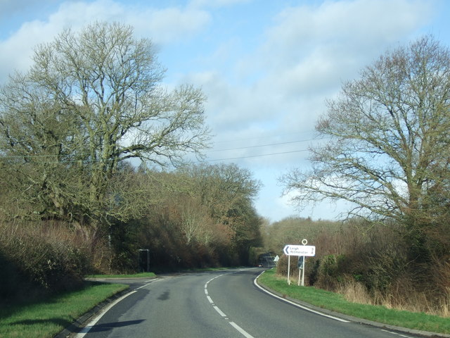
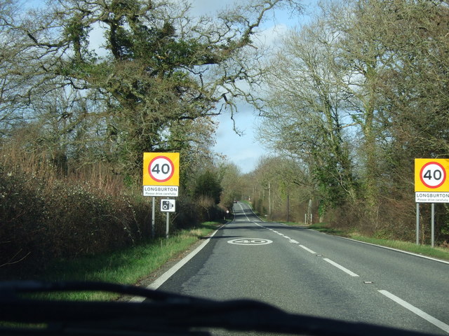
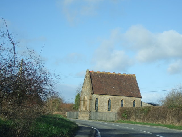
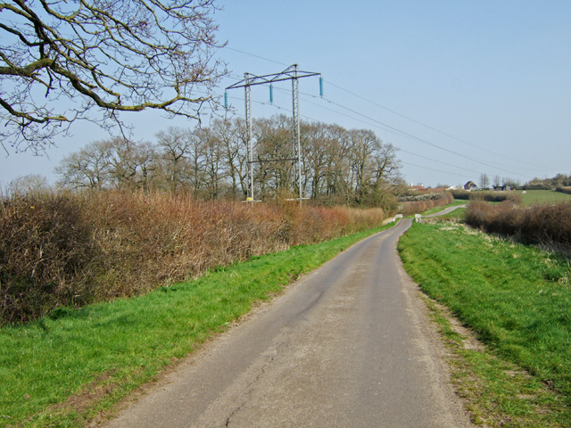
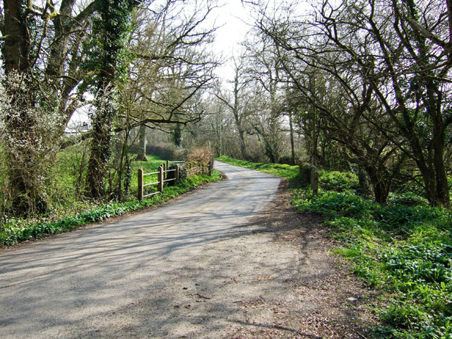
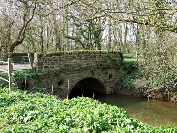
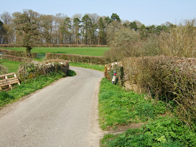
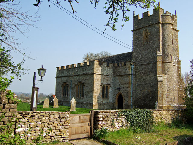
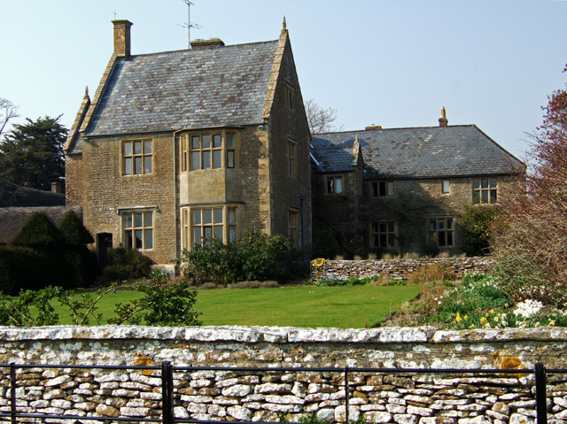
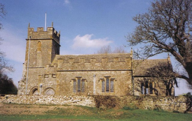
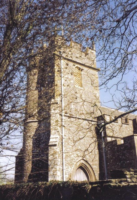
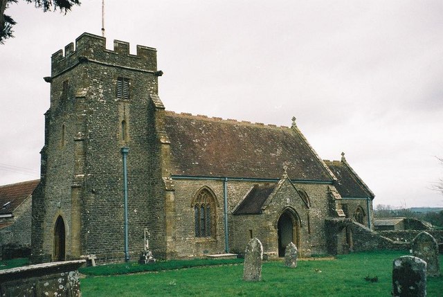
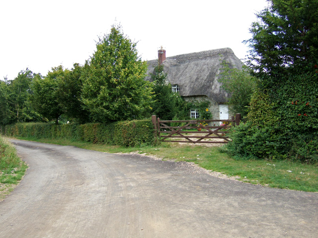
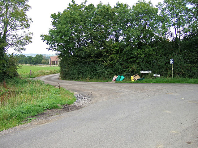
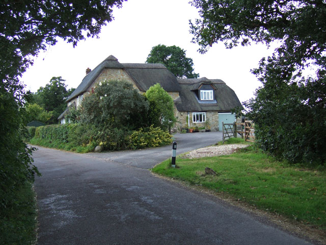
Burton Coppice Images

Images are sourced within 2km of 50.900772/-2.4822225 or Grid Reference ST6611. Thanks to Geograph Open Source API. All images are credited.

The turning to Leigh on the A352 near Holnest
Road into Longburton  showing village name sign and speed limit
Road into Longburton showing village name sign and speed limit
Chapel at Longburton
Longburton traffic lights on the narrow bend The road goes around this lovely house and is so narrow that it is only one lane wide and traffic lights have had to be installed.
Longburton traffic lights on the narrow bend
The road goes around this lovely house and is so narrow that it is only one lane wide and traffic lights have had to be installed.
Pylons near Boys Hill
Hunters Bridge Road bridge over The Cam southeast of Longburton.
Hunters Bridge
Road bridge over The Cam southeast of Longburton.
Hunters Bridge (2)
Hunters Bridge (2)
Kitford Bridge On the road north towards Alweston.
Kitford Bridge
On the road north towards Alweston.
17th Century Church of St Lawrence - Folke Rebuilt and furnished in 1628, this is historically, a rare date in English ecclesiastical architecture.
17th Century Church of St Lawrence - Folke
Rebuilt and furnished in 1628, this is historically, a rare date in English ecclesiastical architecture.
Folke Manor House Like the nearby church, Folke manor is mainly 17th century in character, although the east wing is of the late C15 or early C16. Grade II* listed.
Folke Manor House
Like the nearby church, Folke manor is mainly 17th century in character, although the east wing is of the late C15 or early C16. Grade II* listed.
Folke: parish church of St. Lawrence This church was built in 1628.
Folke: parish church of St. Lawrence
This church was built in 1628.
Folke parish church: tower
Longburton: parish church of St. James the Great Most of the church is 15th-century apart from the tower, which is 13th.
Longburton: parish church of St. James the Great
Most of the church is 15th-century apart from the tower, which is 13th.
Daybreak in the Blackmore Vale Looking east from the A352 at Holnest at 6am on an autumnal August bank holiday morning. Here the flat pastures are drained by The Cam and its tributaries, the waters of which make their way to the Stour via Caundle Brook and the River Lydden. This is the western end of Hardy's "Vale of the Little Dairies".
Daybreak in the Blackmore Vale
Looking east from the A352 at Holnest at 6am on an autumnal August bank holiday morning. Here the flat pastures are drained by The Cam and its tributaries, the waters of which make their way to the Stour via Caundle Brook and the River Lydden. This is the western end of Hardy's "Vale of the Little Dairies".
Fosters Farm B & B Boys Hill
Boys Hill
Boys Hill
Cottage at Bishop's Down
Stockbridge Oak: Pastureland
Show me another place!

Burton Coppice is located at Grid Ref: ST6611 (Lat: 50.900772, Lng: -2.4822225)

Unitary Authority: Dorset

Police Authority: Dorset

What 3 Words

///camped.demanding.charts. Near Sherborne, Dorset

Related Wikis

Holnest SSSI, Dorset

Holnest SSSI, Dorset (grid reference ST667106) is a 54.83 hectare biological Site of Special Scientific Interest in Dorset, notified in 2004.The site has...

Holnest

Holnest is a village and civil parish in the county of Dorset in southern England. It lies in the Blackmore Vale 4 miles (6.4 km) south of Sherborne. It...

Longburton

Longburton or Long Burton is a village in Dorset, England, three miles (5 km) south of Sherborne. It is sited on a narrow outcrop of Cornbrash limestone...

Folke

Folke is a parish in the county of Dorset in southern England, situated in the Blackmore Vale, approximately 3.5 miles (5.6 km) south-east of Sherborne...

Have you been to Burton Coppice?

Leave your review of Burton Coppice below (or comments, questions and feedback).