Cat Knot Plantation

Wood, Forest in Yorkshire Ribble Valley

England

Cat Knot Plantation

Woodland in the Whitewell Gorge The River Hodder runs to the left of the road.
Woodland in the Whitewell Gorge Credit: Oliver Dixon

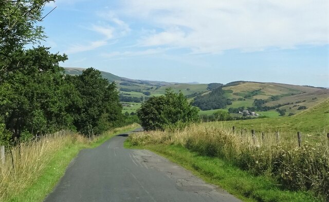
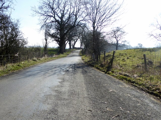
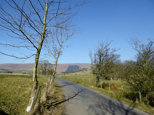
Cat Knot Plantation is a picturesque woodland located in the county of Yorkshire, England. Nestled within the scenic countryside, this plantation is renowned for its dense forest and sprawling woodlands, attracting nature enthusiasts and outdoor adventurers alike.

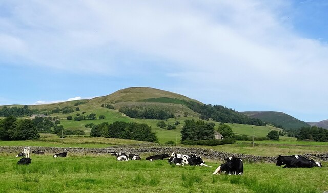
Covering an expansive area, Cat Knot Plantation is home to a diverse range of flora and fauna. The woodland boasts a rich variety of trees, including oak, beech, and birch, which provide a stunning display of colors throughout the year. The forest floor is adorned with a vibrant carpet of wildflowers, adding to the enchanting atmosphere of the plantation.

This woodland paradise offers a haven for wildlife, making it a popular spot for birdwatchers and nature photographers. Visitors may catch a glimpse of native species such as woodpeckers, owls, and deer, as they roam freely through the trees.

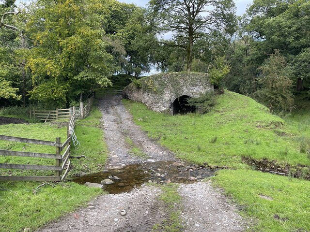
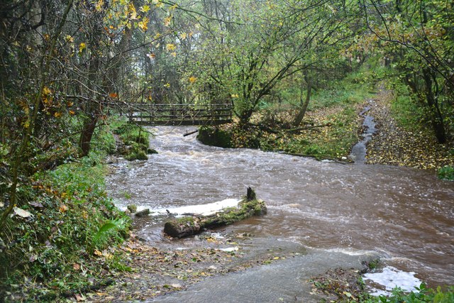
Cat Knot Plantation is an idyllic location for outdoor activities such as hiking, nature walks, and picnics. The plantation features well-maintained trails that wind through the forest, allowing visitors to explore the area at their own pace. The serene ambiance and peaceful surroundings make it an ideal destination for those seeking tranquility and a break from urban life.

With its breathtaking beauty and abundant wildlife, Cat Knot Plantation is a true gem in the heart of Yorkshire. Whether one wishes to immerse themselves in nature, enjoy a leisurely stroll, or simply relax in a picturesque setting, this woodland sanctuary offers an unforgettable experience for all who visit.

If you have any feedback on the listing, please let us know in the comments section below.

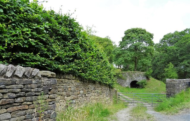
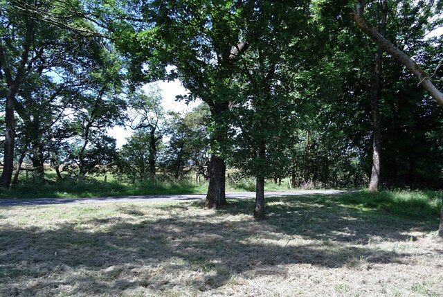
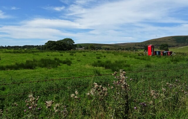
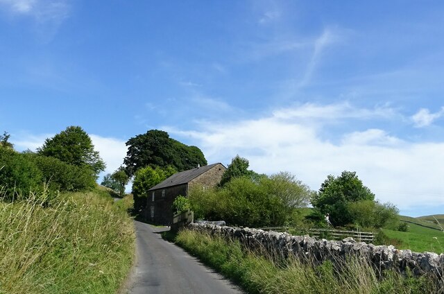
Cat Knot Plantation Images

Images are sourced within 2km of 53.909299/-2.5173807 or Grid Reference SD6646. Thanks to Geograph Open Source API. All images are credited.

Woodland in the Whitewell Gorge The River Hodder runs to the left of the road.
Woodland in the Whitewell Gorge
The River Hodder runs to the left of the road.
Stepping Stones at Whitewell This fording point on the River Hodder is taken  looking towards the Inn At Whitewell a hotel in the ownership of the Duchy of Lancaster.
Stepping Stones at Whitewell
This fording point on the River Hodder is taken looking towards the Inn At Whitewell a hotel in the ownership of the Duchy of Lancaster.
Lime Kiln At Cow Ark Bridge.
Lime Kiln
At Cow Ark Bridge.
The road to Dunsop Bridge At the junction with the track to Fair Oak Farm.
The road to Dunsop Bridge
At the junction with the track to Fair Oak Farm.
Bin day at Fords On the road to Dunsop Bridge.
Bin day at Fords
On the road to Dunsop Bridge.
Knot End farmhouse Nice weather for a spot of gardening.
Knot End farmhouse
Nice weather for a spot of gardening.
The road to Dunsop Bridge Approaching Burholme Bridge.
The road to Dunsop Bridge
Approaching Burholme Bridge.
Cows taking it easy Near Burholme Bridge.
Cows taking it easy
Near Burholme Bridge.
Hag Clough Ford This ford is found at Cow Ark near Whitewell close to an old lime kiln.
Hag Clough Ford
This ford is found at Cow Ark near Whitewell close to an old lime kiln.
View to the North East near  Spire Farm Trig Point
Ford at Lower Greystoneley This ford on the Greystoneley Brook at Lower Greystoneley is shown here after heavy rain.
<span class="nowrap"><a title="https://youtu.be/NdYZhlnb7x4" rel="nofollow ugc noopener" href="https://youtu.be/NdYZhlnb7x4">Link</a><img style="margin-left:2px;" alt="External link" title="External link - shift click to open in new window" src="https://s1.geograph.org.uk/img/external.png" width="10" height="10"/></span>
Ford at Lower Greystoneley
This ford on the Greystoneley Brook at Lower Greystoneley is shown here after heavy rain. LinkExternal link
Lane at Higher Greystoneley The road from Chipping to Dunsop Bridge.
Lane at Higher Greystoneley
The road from Chipping to Dunsop Bridge.
The road from Chipping to Dunsop Bridge At Higher Greystoneley.
The road from Chipping to Dunsop Bridge
At Higher Greystoneley.
Stepping Stones Stepping stones near the Inn at Whitewell, recent heavy rainfall has raised the river level just covering many of the stones.
Stepping Stones
Stepping stones near the Inn at Whitewell, recent heavy rainfall has raised the river level just covering many of the stones.
Spring Bridge Whitewell On 30th June 1906, the Spring Bridge at Whitewell collapsed. Two groups from Preston and Todmorden were enjoying a day out with a party of 34. Having just been photographed three of them went to bathe in the River Hodder.  The others collected on a footbridge about 35 yards long made of wood, supported by iron girders, and protected by railings.  Without any warning the bridge suddenly broke in at least two places, and fell into the water. The bridge was never replaced all that remains are the structures built to accommodate the bridge.
Spring Bridge Whitewell
On 30th June 1906, the Spring Bridge at Whitewell collapsed. Two groups from Preston and Todmorden were enjoying a day out with a party of 34. Having just been photographed three of them went to bathe in the River Hodder. The others collected on a footbridge about 35 yards long made of wood, supported by iron girders, and protected by railings. Without any warning the bridge suddenly broke in at least two places, and fell into the water. The bridge was never replaced all that remains are the structures built to accommodate the bridge.
Stream entering River Hodder The point on the river Hodder just above the location of the old spring bridge where a stream enters the river.
Stream entering River Hodder
The point on the river Hodder just above the location of the old spring bridge where a stream enters the river.
Footbridge Whitewell A footbridge over the stream on the footpath leading away from the road just up river from the Inn at Whitewell.
Footbridge Whitewell
A footbridge over the stream on the footpath leading away from the road just up river from the Inn at Whitewell.
Burholme Bridge From the track to Burholme Farm. The bridge carries the road from Whitewell to Dunsop Bridge over the River Hodder.
Burholme Bridge
From the track to Burholme Farm. The bridge carries the road from Whitewell to Dunsop Bridge over the River Hodder.
Show me another place!

Cat Knot Plantation is located at Grid Ref: SD6646 (Lat: 53.909299, Lng: -2.5173807)

Division: West Riding

Administrative County: Lancashire

District: Ribble Valley

Police Authority: Lancashire

What 3 Words

///scrambles.bachelor.nests. Near Waddington, Lancashire

Related Wikis

Whitewell

Whitewell is a village within the civil parish of Bowland Forest Low and Ribble Valley borough of Lancashire, England. It is in the Forest of Bowland Area...

Whitewell Hotel

Whitewell Hotel is an historic building in the English parish of Bowland Forest Low, Lancashire. It is Grade II listed, built in 1836, and is in sandstone...

Higher Lees Farmhouse

Higher Lees Farmhouse is an historic building in the English parish of Bowland Forest Low, Lancashire. It is Grade II listed, built around 1780, and is...

Cow Ark Farmhouse

Cow Ark Farmhouse is a historic building in the English parish of Bowland Forest Low, Lancashire. It is Grade II listed, built around 1780, and is a sandstone...

Nearby Amenities

Located within 500m of 53.909299,-2.5173807
Higher Top Barn
Place: neighbourhood
Lat/Long: 53.9108478/-2.5111285
The data included in this document is from www.openstreetmap.org. The data is made available under ODbL.

Have you been to Cat Knot Plantation?

Leave your review of Cat Knot Plantation below (or comments, questions and feedback).