Sturts Coppice

Wood, Forest in Worcestershire Malvern Hills

England

Sturts Coppice

Neen Sollars, All Saints
Neen Sollars, All Saints Credit: Dave Kelly

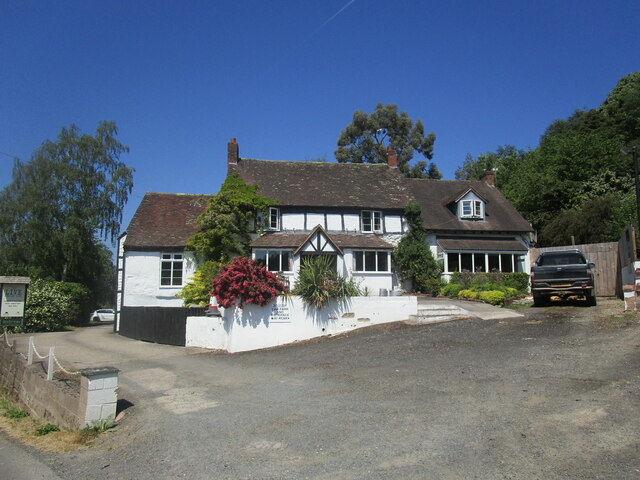
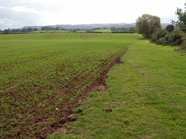
Sturts Coppice is a picturesque woodland located in the county of Worcestershire, England. Covering an area of approximately 100 acres, it is renowned for its natural beauty and diverse ecosystem. The coppice is situated within the Wyre Forest District, near the village of Bewdley.

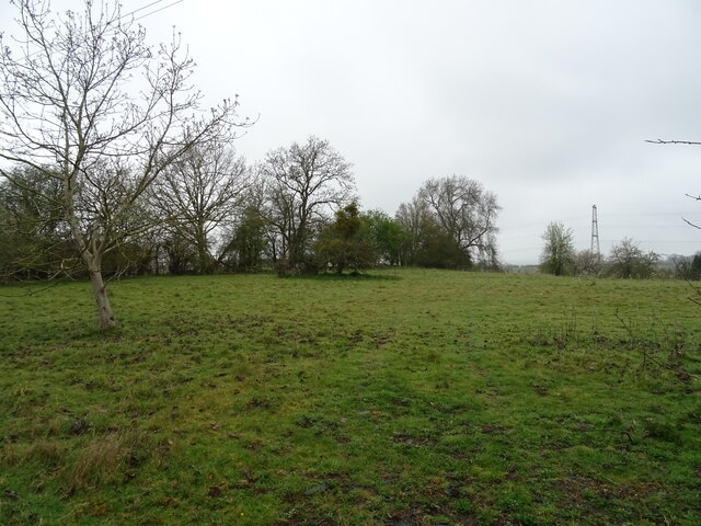
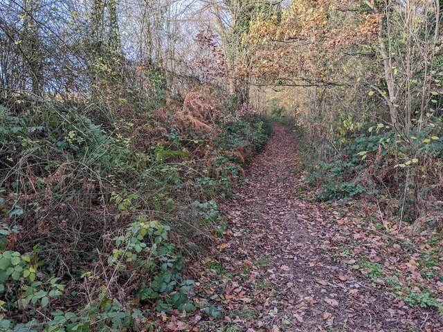
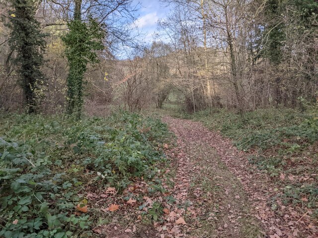
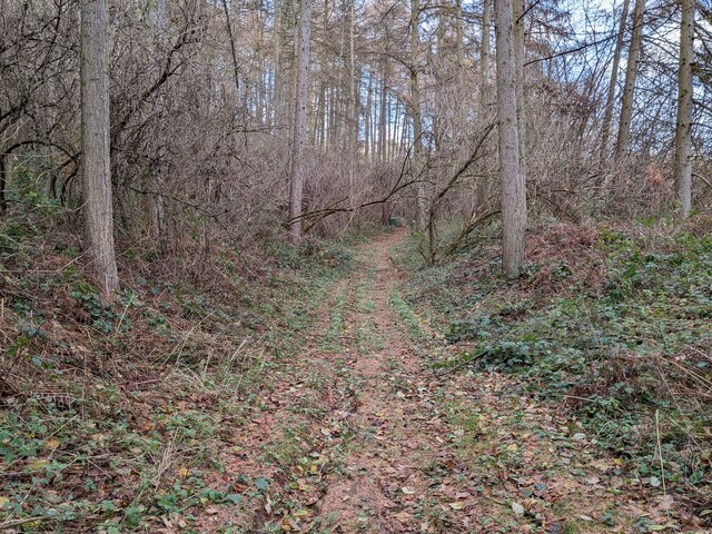
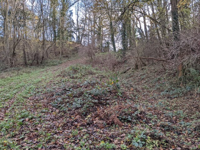
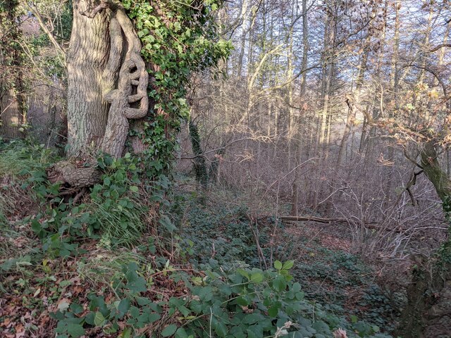
The woodland is predominantly made up of broadleaved trees, including oak, ash, beech, and birch. These towering trees provide a dense canopy, creating a shaded and tranquil environment. The forest floor is carpeted with a variety of wildflowers, ferns, and mosses, adding to the enchanting atmosphere of Sturts Coppice.

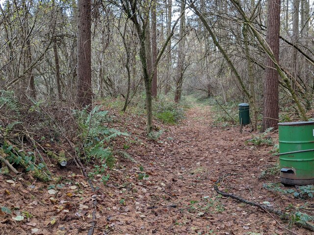
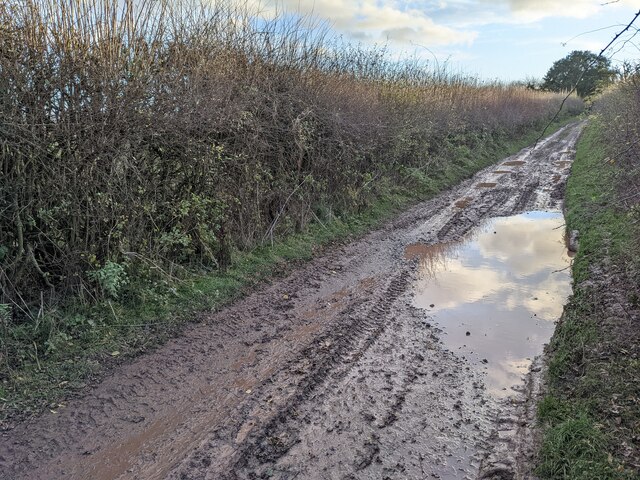
The woodland is crisscrossed by a network of well-maintained footpaths, allowing visitors to explore and immerse themselves in its beauty. These paths wind through the forest, leading to hidden glades, babbling brooks, and peaceful ponds. Wildlife thrives in this natural habitat, with a plethora of bird species, small mammals, and insects calling the coppice their home.

Sturts Coppice is not only a haven for nature lovers but also a site of historical significance. It has been managed sustainably for centuries, with the traditional practice of coppicing being employed. This involves periodically cutting down selected trees to encourage new growth and provide a sustainable source of timber.

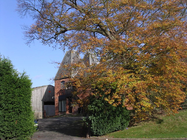
Visitors to Sturts Coppice can engage in various activities such as hiking, birdwatching, and photography. The woodland is also a popular spot for picnics and family outings, with designated areas for relaxation and recreation. With its natural beauty and rich history, Sturts Coppice offers a unique and immersive experience for all who visit.

If you have any feedback on the listing, please let us know in the comments section below.

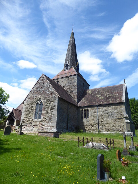
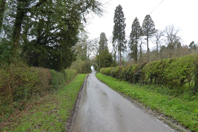
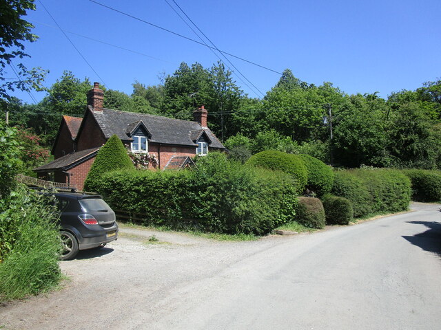
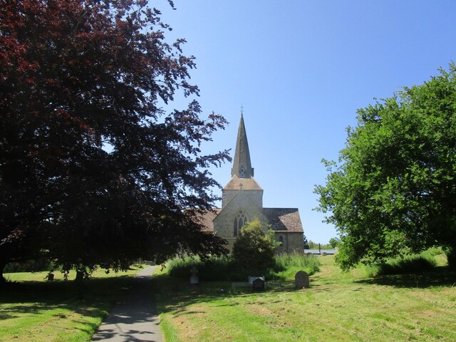
Sturts Coppice Images

Images are sourced within 2km of 52.334817/-2.5089153 or Grid Reference SO6570. Thanks to Geograph Open Source API. All images are credited.

Neen Sollars, All Saints
No through road at Bickley No through road giving access to Bickley House.
No through road at Bickley
No through road giving access to Bickley House.
Cottage at Neen Sollars
The approach to All Saints' church, Neen Sollars
The Live and Let Live, Neen Sollars
Grazing near Archfield Farm
A456, Broombank Towards Bewdley.
A456, Broombank
Towards Bewdley.
Elizabeth II postbox on the A456, Broombank
Path to Bickley Taken on a walk from Knighton-on-Teme to the Leominster Canal (northeast of Newnham Bridge).
Path to Bickley
Taken on a walk from Knighton-on-Teme to the Leominster Canal (northeast of Newnham Bridge).
Path to the Leominster Canal Taken on a walk from Knighton-on-Teme to the Leominster Canal (northeast of Newnham Bridge).
Path to the Leominster Canal
Taken on a walk from Knighton-on-Teme to the Leominster Canal (northeast of Newnham Bridge).
Tunnel Coppice (Cainey) Taken on a walk from Knighton-on-Teme to the Leominster Canal (northeast of Newnham Bridge). We had to cancel the walk shortly after this photo was taken, because a local warned us that hunting was taking place in the area.
Tunnel Coppice (Cainey)
Taken on a walk from Knighton-on-Teme to the Leominster Canal (northeast of Newnham Bridge). We had to cancel the walk shortly after this photo was taken, because a local warned us that hunting was taking place in the area.
Site of the Leominster Canal (Newnham Tunnel) Taken on a walk from Knighton-on-Teme to the Leominster Canal (northeast of Newnham Bridge). The canal ran from Leominster (Herefordshire) to Mamble (Worcestershire), and the 18 mile route was constructed from 1791-96. It was in use for six decades, although an ambition to extend the route from Kington (Herefordshire) to Stourport (Worcestershire) never happened due to financial problems, and this led to the closure of the Leominster canal in 1858. 
The site of the north portal of Newnham Tunnel is present in this view, which collapsed at an unknown date (my guess is the late C19); the south portal can be seen here <a href="https://www.geograph.org.uk/photo/7701706">SO6469 : Site of the Leominster Canal (Newnham Tunnel)</a>.
Site of the Leominster Canal (Newnham Tunnel)
Taken on a walk from Knighton-on-Teme to the Leominster Canal (northeast of Newnham Bridge). The canal ran from Leominster (Herefordshire) to Mamble (Worcestershire), and the 18 mile route was constructed from 1791-96. It was in use for six decades, although an ambition to extend the route from Kington (Herefordshire) to Stourport (Worcestershire) never happened due to financial problems, and this led to the closure of the Leominster canal in 1858. The site of the north portal of Newnham Tunnel is present in this view, which collapsed at an unknown date (my guess is the late C19); the south portal can be seen here SO6469 : Site of the Leominster Canal (Newnham Tunnel).
Tunnel Coppice (Cainey) Viewed from a public footpath to Bickey.
Tunnel Coppice (Cainey)
Viewed from a public footpath to Bickey.
Titterstone Clee Hill (Viewed near Newnham Bridge) The third highest hill in Shropshire is visible from a public footpath to Bickley, and this is 1,749 ft (533 m) high.
Titterstone Clee Hill (Viewed near Newnham Bridge)
The third highest hill in Shropshire is visible from a public footpath to Bickley, and this is 1,749 ft (533 m) high.
Flooded track to Bickley We headed back to Knighton-on-Teme after we saw this flooded track! This was a detour after our trip to the Leominster Canal (Cainey) was cancelled, when a local warned us that hunting was taking place in the area; the hunting was still going on as we headed back.
Flooded track to Bickley
We headed back to Knighton-on-Teme after we saw this flooded track! This was a detour after our trip to the Leominster Canal (Cainey) was cancelled, when a local warned us that hunting was taking place in the area; the hunting was still going on as we headed back.
Track to Newnham Bridge I took this photo from the opposite direction of <a href="https://www.geograph.org.uk/photo/7701741">SO6470 : Flooded track to Bickley</a>.
Track to Newnham Bridge
I took this photo from the opposite direction of SO6470 : Flooded track to Bickley.
Doddenhill Farm
Doddenhill Farm
Show me another place!

Sturts Coppice is located at Grid Ref: SO6570 (Lat: 52.334817, Lng: -2.5089153)

Administrative County: Worcestershire

District: Malvern Hills

Police Authority: West Mercia

What 3 Words

///senior.sleeps.backyards. Near Cleobury Mortimer, Shropshire

Related Wikis

Marlbrook, Shropshire

Marlbrook is a hamlet in Shropshire, England, right on the border with Worcestershire. == References == The geographic coordinates are from the Ordnance...

Neen Sollars railway station

Neen Sollars railway station was a station on the Tenbury & Bewdley railway in Neen Sollars, Shropshire, England. The station opened on 13 August 1864...

Neen Sollars

Neen Sollars is a village and civil parish in south east Shropshire, England. It is situated close to the border with Worcestershire, three miles south...

Newnham Bridge

Newnham Bridge is a village in the parish of Knighton on Teme, near Tenbury Wells, Worcestershire, England, United Kingdom. The village derives part of...

Nearby Amenities

Located within 500m of 52.334817,-2.5089153
Power: pole
Lat/Long: 52.3372942/-2.5036023
Power: pole
Lat/Long: 52.3379824/-2.5099405
Power: pole
Lat/Long: 52.3380891/-2.5109822
Power: pole
Lat/Long: 52.338266/-2.5125185
Power: pole
Lat/Long: 52.3375796/-2.5062497
Power: pole
Lat/Long: 52.3377059/-2.5074236
The data included in this document is from www.openstreetmap.org. The data is made available under ODbL.

Have you been to Sturts Coppice?

Leave your review of Sturts Coppice below (or comments, questions and feedback).