Black Covert

Wood, Forest in Shropshire

England

Black Covert

View from Hawkesmoor Bridge Near Adderley.
View from Hawkesmoor Bridge Credit: Andrew Abbott

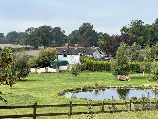
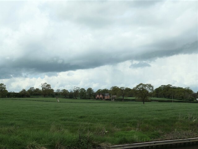
Black Covert is a woodland area located in the county of Shropshire, England. Nestled within the picturesque countryside, it is known for its dense forest cover, making it an ideal destination for nature lovers and outdoor enthusiasts alike.

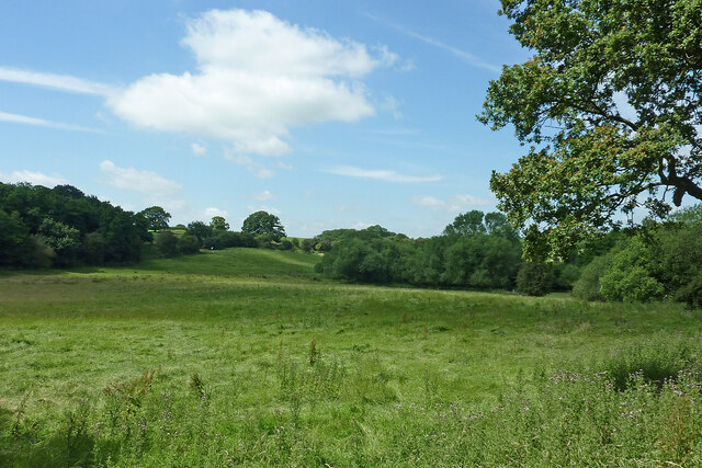
The woodland spans an area of approximately 200 acres and is characterized by its diverse range of trees, including oak, ash, beech, and birch. These trees form a dense canopy that provides a sheltered habitat for a variety of wildlife species, such as deer, foxes, badgers, and numerous bird species.

The forest floor is carpeted with a rich array of flora, including bluebells, primroses, and ferns, creating a stunning display of colors during the spring and summer months. Walking trails meander through the woodland, allowing visitors to explore its beauty at their own pace.

Black Covert also boasts a small lake, providing a peaceful spot for picnics or fishing. The tranquil atmosphere and the sound of birdsong make it an ideal place for relaxation and contemplation.

The woodland is easily accessible from the nearby town of Shrewsbury, with ample parking facilities available for visitors. It offers a range of recreational activities, including hiking, cycling, and wildlife observation.

Black Covert is a haven for nature enthusiasts, offering a serene and picturesque environment that showcases the beauty of the English countryside. Whether it's a leisurely stroll, a picnic by the lake, or an adventure into the heart of the forest, this woodland provides a delightful escape from the hustle and bustle of everyday life.

If you have any feedback on the listing, please let us know in the comments section below.

Black Covert Images

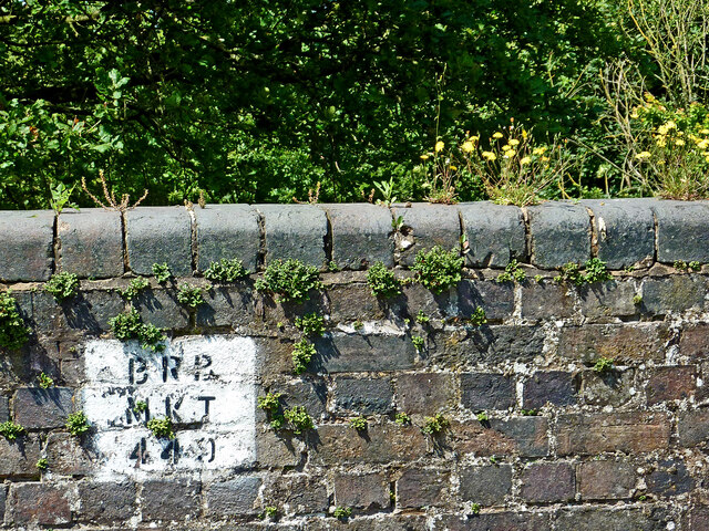
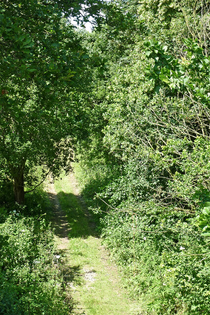
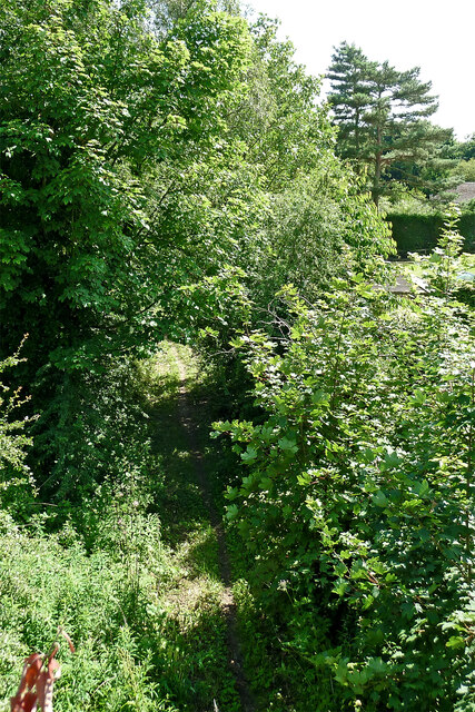
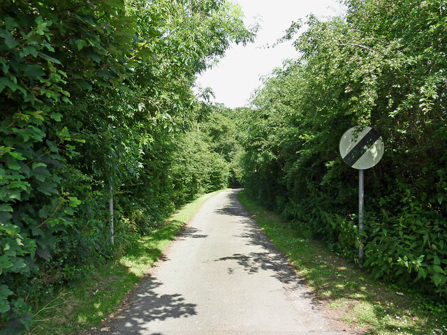
Images are sourced within 2km of 52.957418/-2.5163768 or Grid Reference SJ6540. Thanks to Geograph Open Source API. All images are credited.
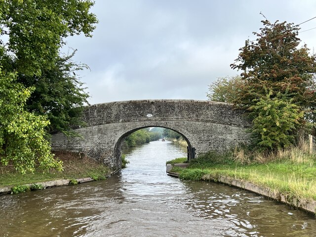
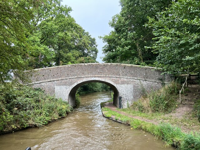
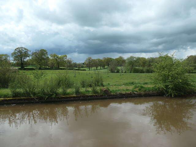
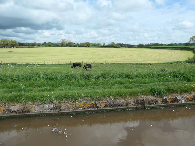
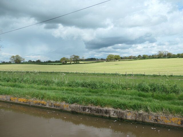
View from Hawkesmoor Bridge Near Adderley.
View from Hawkesmoor Bridge
Near Adderley.
Adderley Pool Bridge Grade II listed. Listing number 1176472. Canal bridge. Circa 1830. Thomas Telford and Alexander Easton, engineers. Limewashed red brick with some blue brick dressings. Elliptical arch. Humped-back shape with chamfered stone string course and parapet with square end piers and rounded stone coping. Slightly battered and curved abutments. Cast-iron corner posts on towpath side with grooves caused by rope haulage. Oval cast-iron number plate to south-east.
Adderley Pool Bridge
Grade II listed. Listing number 1176472. Canal bridge. Circa 1830. Thomas Telford and Alexander Easton, engineers. Limewashed red brick with some blue brick dressings. Elliptical arch. Humped-back shape with chamfered stone string course and parapet with square end piers and rounded stone coping. Slightly battered and curved abutments. Cast-iron corner posts on towpath side with grooves caused by rope haulage. Oval cast-iron number plate to south-east.
Shropshire Union Canal North of Adderley.
Shropshire Union Canal
North of Adderley.
Milepost on the towpath On the Shropshire Union Canal.
Milepost on the towpath
On the Shropshire Union Canal.
Bridge 74 on the Shropshire Union Canal Grade II listed. Listing number 1320255. Accommodation bridge. 1827-30. Telford design. Brick, with stone band and copings. Single elliptical arch. Slightly cambered solid parapet, and piers. 2 iron rope fenders. Brick paved towpath beneath bridge.
Bridge 74 on the Shropshire Union Canal
Grade II listed. Listing number 1320255. Accommodation bridge. 1827-30. Telford design. Brick, with stone band and copings. Single elliptical arch. Slightly cambered solid parapet, and piers. 2 iron rope fenders. Brick paved towpath beneath bridge.
Former lock keeper's cottage At bridge 74 on the Shropshire Union Canal
Former lock keeper's cottage
At bridge 74 on the Shropshire Union Canal
Bridge 75 on the Shropshire Union Canal Grade II listed. Listing number 1115818. Accommodation bridge. C1827-30 and later Telford design. Brick, with stone band and copings. Single elliptical arch. Slightly cambered solid parapet, and piers. Parapets partly rebuilt at later date. 2 iron rope fenders. Brick paved towpath beneath bridge.
Bridge 75 on the Shropshire Union Canal
Grade II listed. Listing number 1115818. Accommodation bridge. C1827-30 and later Telford design. Brick, with stone band and copings. Single elliptical arch. Slightly cambered solid parapet, and piers. Parapets partly rebuilt at later date. 2 iron rope fenders. Brick paved towpath beneath bridge.
Between locks On the Shropshire Union Canal.
Between locks
On the Shropshire Union Canal.
Threatening clouds over Rectory Lane, Adderley And it did indeed rain heavily, very soon.
Threatening clouds over Rectory Lane, Adderley
And it did indeed rain heavily, very soon.
Approaching Hawksmoor Bridge [no 72] Looking northwards on the Shropshire Union canal.
Approaching Hawksmoor Bridge [no 72]
Looking northwards on the Shropshire Union canal.
Wooded landscape near Adderley Pool Farmland or parkland? Difficult to tell. On the west bank of the Shropshire Union canal.
Wooded landscape near Adderley Pool
Farmland or parkland? Difficult to tell. On the west bank of the Shropshire Union canal.
Cattle grazing on a strip of land The grazing area has been fenced off from the larger field behind. North of Adderley, on the east bank of the canal.
Cattle grazing on a strip of land
The grazing area has been fenced off from the larger field behind. North of Adderley, on the east bank of the canal.
Dark clouds over mown fields, Adderley On the east bank of the Shropshire Union canal.
Dark clouds over mown fields, Adderley
On the east bank of the Shropshire Union canal.
Railway bridge identification code near Adderley in Shropshire This is on the brickwork of Station Road Bridge.
Railway bridge identification code near Adderley in Shropshire
This is on the brickwork of Station Road Bridge.
Former railway trackbed near Adderley in Shropshire Looking north-west towards Audlem from Station Road Bridge.
Former railway trackbed near Adderley in Shropshire
Looking north-west towards Audlem from Station Road Bridge.
Dismantled railway track near Adderley in Shropshire Looking south-south-east towards Market Drayton from the bridge over Station Road
Dismantled railway track near Adderley in Shropshire
Looking south-south-east towards Market Drayton from the bridge over Station Road
Station Road near Adderley in Shropshire Looking north-west from near the old station bridge.
Station Road near Adderley in Shropshire
Looking north-west from near the old station bridge.
Pasture north of Adderley in Shropshire Looking north-west from Station Road near Pool House.
Pasture north of Adderley in Shropshire
Looking north-west from Station Road near Pool House.
Show me another place!

Black Covert is located at Grid Ref: SJ6540 (Lat: 52.957418, Lng: -2.5163768)

Unitary Authority: Shropshire

Police Authority: West Mercia

What 3 Words

///bloomers.seasonal.lollipop. Near Audlem, Cheshire

Related Wikis

Adderley railway station

Adderley railway station was a station serving the village of Adderley in the English county of Shropshire. == History == The station was built by the...

St Peter's Church, Adderley

St Peter's Church is an Anglican church in the village of Adderley, Shropshire, England. It is recorded in the National Heritage List for England as a...

Adderley

Adderley is a village and civil parish in the English county of Shropshire, several kilometres north of Market Drayton. It is known as Eldredelei in the...

Coxbank Halt railway station

Coxbank Halt railway station was located in Audlem, Cheshire, England. The station was opened by the Great Western Railway, the station closed on 9 September...

Nearby Amenities

Located within 500m of 52.957418,-2.5163768
The data included in this document is from www.openstreetmap.org. The data is made available under ODbL.

Have you been to Black Covert?

Leave your review of Black Covert below (or comments, questions and feedback).