Whitfield Coppice

Wood, Forest in Herefordshire

England

Whitfield Coppice

St Andrew's Church, Pixley Much of the church building is thought to date from the thirteenth century. It is built of local red sandstone on a mound which until fairly recently was surrounded by a moat. The church was extensively restored in 1865. Additional repairs were carried out in the 1980s and again in 2005 when the roof and Victorian turret were renovated.
St Andrew's Church, Pixley Credit: Eirian Evans

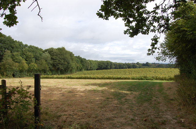
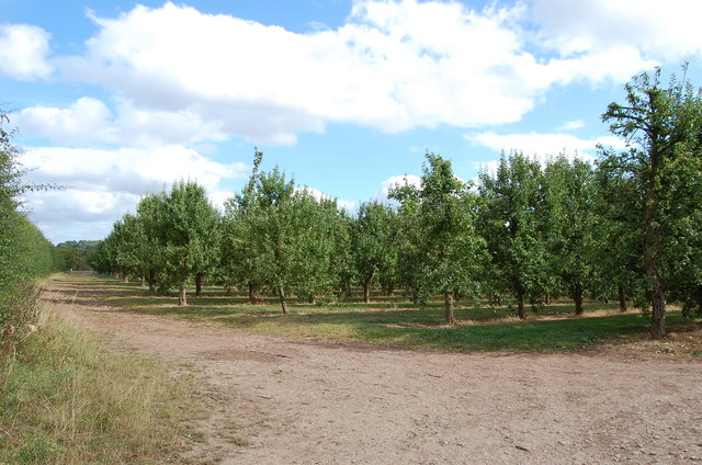
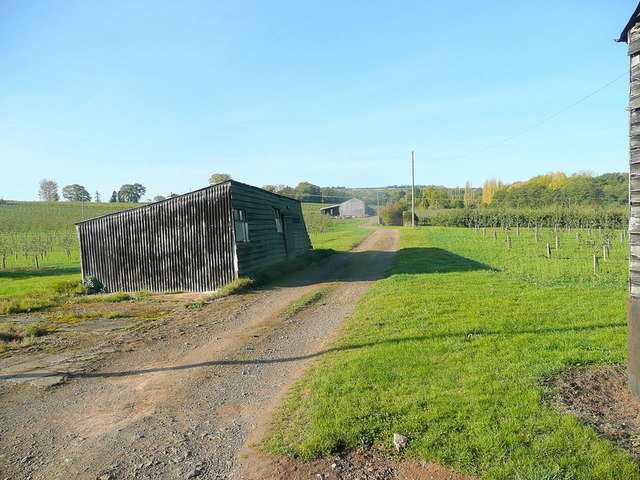
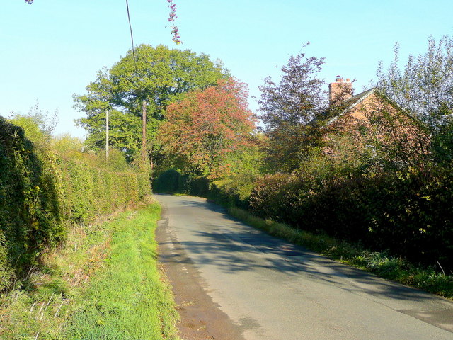
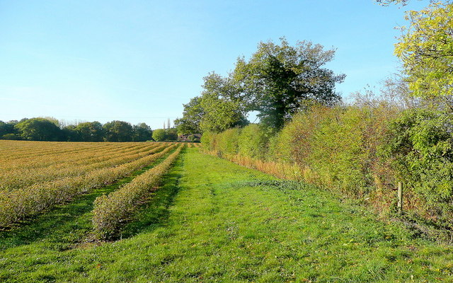
Whitfield Coppice is a picturesque woodland located in Herefordshire, England. Spanning over a vast area, it is renowned for its stunning natural beauty and diverse ecosystem. The coppice is situated in a rural setting, surrounded by rolling hills and charming countryside.

The woodland is predominantly composed of a variety of deciduous trees, including oak, ash, and beech. These towering trees create a dense canopy, providing shade and shelter for a plethora of wildlife species. The forest floor is adorned with a vibrant carpet of bluebells during the spring, creating a breathtaking sight for visitors.

Whitfield Coppice offers a tranquil escape for nature lovers and outdoor enthusiasts. Numerous walking trails meander through the woods, inviting visitors to explore its hidden gems and discover the enchanting flora and fauna that call it home. The sounds of birdsong fill the air, with species such as the great spotted woodpecker and tawny owl commonly heard.

The coppice is also a designated site of special scientific interest, due to its rich biodiversity. Many rare and protected species, including the dormouse and lesser horseshoe bat, can be found within its boundaries. Conservation efforts are in place to maintain and preserve the natural habitat, ensuring the longevity of these unique creatures.

Overall, Whitfield Coppice is a haven of tranquility and natural beauty. Its idyllic setting, diverse ecosystem, and rich wildlife make it an ideal destination for those seeking to immerse themselves in the wonders of nature.

If you have any feedback on the listing, please let us know in the comments section below.

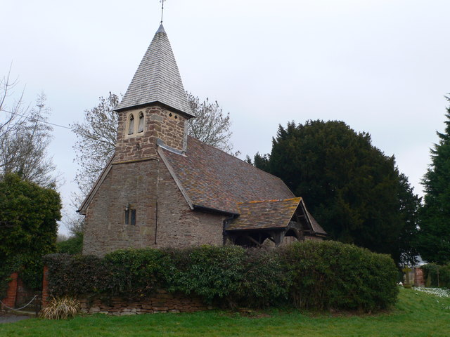
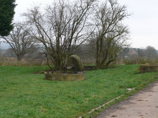
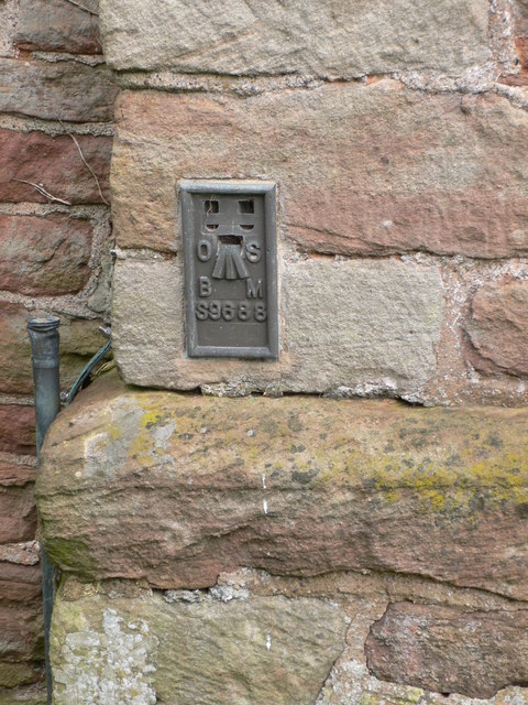
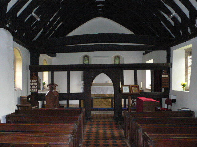
Whitfield Coppice Images

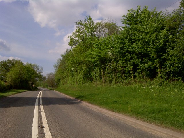
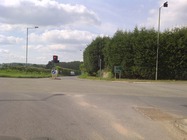
Images are sourced within 2km of 52.050048/-2.5058617 or Grid Reference SO6539. Thanks to Geograph Open Source API. All images are credited.

St Andrew's Church, Pixley Much of the church building is thought to date from the thirteenth century. It is built of local red sandstone on a mound which until fairly recently was surrounded by a moat. The church was extensively restored in 1865. Additional repairs were carried out in the 1980s and again in 2005 when the roof and Victorian turret were renovated.
St Andrew's Church, Pixley
Much of the church building is thought to date from the thirteenth century. It is built of local red sandstone on a mound which until fairly recently was surrounded by a moat. The church was extensively restored in 1865. Additional repairs were carried out in the 1980s and again in 2005 when the roof and Victorian turret were renovated.
Relics of a cider mill An old millstone from the cider mill which used to be at Pixley Court Farm.
Relics of a cider mill
An old millstone from the cider mill which used to be at Pixley Court Farm.
Benchmark on Pixley Church Flush bracket S9688 on the western face of St Andrew's Church.
Benchmark on Pixley Church
Flush bracket S9688 on the western face of St Andrew's Church.
Inside St Andrew's Church, Pixley The little white-washed nave is divided from the white-washed chancel by a screen, its entrance arch (only six feet high) made of naturally curved timbers from some great tree. The screen has three bays and the cross-beam has a patch of neat carving; So have the roof beams which match these venerable timbers. There are no iron nails in the screen, which is fastened together with pegs.
Inside St Andrew's Church, Pixley
The little white-washed nave is divided from the white-washed chancel by a screen, its entrance arch (only six feet high) made of naturally curved timbers from some great tree. The screen has three bays and the cross-beam has a patch of neat carving; So have the roof beams which match these venerable timbers. There are no iron nails in the screen, which is fastened together with pegs.
A4172 at Pixley
A4172 at Pixley
Trumpet Crossroads
Trumpet Crossroads
Land near Birchall
Land near Birchall
Oast cowl at the White House A typical Herefordshire pointed cowl
Oast cowl at the White House
A typical Herefordshire pointed cowl
Verzon House Hotel Boutique Hotel and Restaurant
Verzon House Hotel
Boutique Hotel and Restaurant
Orchard, near The Verzons Apple Orchard
Orchard, near The Verzons
Apple Orchard
Cottage at Putley Common Compare with <a href="https://www.geograph.org.uk/photo/55999">SO6338 : Cottage at Putley Common</a>
Cottage at Putley Common
Village notice board On the wall of Putley Green village hall.
Village notice board
On the wall of Putley Green village hall.
Fruit growing at Birchall The predominant crop here is cider apples.
Fruit growing at Birchall
The predominant crop here is cider apples.
Lane at Birchall Looking north towards Poolend.
Lane at Birchall
Looking north towards Poolend.
Fruit crop by Birchall Lane The rows are of blackcurrants, probably for processing.
Fruit crop by Birchall Lane
The rows are of blackcurrants, probably for processing.
Putley Village Hall Putley Village Hall at Putley Green, when I last passed through here this was also a Post Office though it now appears to have closed.
Putley Village Hall
Putley Village Hall at Putley Green, when I last passed through here this was also a Post Office though it now appears to have closed.
Restored barn at Aylton This barn at Aylton Court has undergone a major restoration since I last visited in 2005. <a href="https://www.geograph.org.uk/photo/71425">SO6537 : Old barn at Court Farm, Aylton</a>
Restored barn at Aylton
This barn at Aylton Court has undergone a major restoration since I last visited in 2005. SO6537 : Old barn at Court Farm, Aylton
Show me another place!

Whitfield Coppice is located at Grid Ref: SO6539 (Lat: 52.050048, Lng: -2.5058617)

Unitary Authority: County of Herefordshire

Police Authority: West Mercia

What 3 Words

///classmate.workshop.opponent. Near Ledbury, Herefordshire

Related Wikis

Trumpet, Herefordshire

Trumpet or The Trumpet is a village in Herefordshire, England. The village is named after the timber-framed Trumpet Inn. The inn is located at a major...

Pixley, Herefordshire

Pixley is a village and civil parish in Herefordshire, England. The population of the civil parish at the 2011 census was 258. The village consists of...

Ashperton railway station

Ashperton railway station was a railway station serving the village of Ashperton in Herefordshire, England. It was located on what is now known as the...

Aylton

Aylton is a village in eastern Herefordshire, England. It is 5.5 km (3.4 mi) west of Ledbury. The population of this parish at the 2011 Census was 144...

Nearby Amenities

Located within 500m of 52.050048,-2.5058617
Trumpet
Place: hamlet
Source: npe
Wikidata: Q3783964
Lat/Long: 52.0541219/-2.5030088
Source: NPE/OSOpenData
Lat/Long: 52.0512699/-2.5119535
Bus Stop
Trumpet Inn
Naptan AtcoCode: 2090A071800
Naptan Bearing: E
Naptan CommonName: Trumpet Inn
Naptan Indicator: opp
Naptan Landmark: Bus Shelter.Trumpet Inn PH
Naptan NaptanCode: heradgwp
Naptan Street: A438
Shelter: yes
Source: naptan_import;survey
Lat/Long: 52.0533801/-2.5036783
Bus Stop
Trumpet Inn
Naptan AtcoCode: 2090A071801
Naptan Bearing: N
Naptan BusStopType: CUS
Naptan CommonName: Trumpet Inn
Naptan Indicator: adj
Naptan Landmark: Crossroads
Naptan NaptanCode: heradgwt
Naptan Street: A417 Leominster Road
Naptan Verified: no
Source: naptan_import
Lat/Long: 52.0536813/-2.5034107
Bus Stop
Trumpet Inn
Naptan AtcoCode: 2090A071802
Naptan Bearing: W
Naptan CommonName: Trumpet Inn
Naptan Indicator: adj
Naptan Landmark: Trumpet Inn PH
Naptan NaptanCode: heradjad
Naptan Street: A438 Hereford Road
Source: naptan_import;survey
Lat/Long: 52.0533127/-2.5032209
Bus Stop
Trumpet Inn
Naptan AtcoCode: 2090A18383
Naptan Bearing: S
Naptan BusStopType: CUS
Naptan CommonName: Trumpet Inn
Naptan Indicator: opp
Naptan Landmark: Crossroads
Naptan NaptanCode: heragpjt
Naptan Street: A417 Leominster Road
Naptan Verified: no
Source: naptan_import
Lat/Long: 52.053736/-2.5032217
Post Box
Collection Times: Mo-Fr 15:00; Sa 11:00
Post Box Type: lamp
Ref: HR8 592
Lat/Long: 52.053398/-2.503548
Traffic Signals
Source: bing
Lat/Long: 52.0535996/-2.5031534
Traffic Signals
Source: bing
Lat/Long: 52.0533697/-2.502811
Generator Method: photovoltaic
Generator Output Electricity: yes
Generator Source: solar
Generator Type: solar_photovoltaic_panel
Location: roof
Power: generator
Lat/Long: 52.0530142/-2.5019833
Traffic Signals
Source: bing
Lat/Long: 52.0535683/-2.5026654
Traffic Signals
Source: bing
Lat/Long: 52.0533707/-2.5032893
Power: pole
Lat/Long: 52.0513458/-2.5109701
Power: pole
Lat/Long: 52.0512485/-2.5120939
Power: pole
Lat/Long: 52.0514703/-2.509515
Power: pole
Lat/Long: 52.0516328/-2.5075764
Poolend Pole Pickling Plant
Power: pole
Transformer: distribution
Voltage Primary: 11000
Lat/Long: 52.0517515/-2.506175
Power: pole
Lat/Long: 52.0518942/-2.5046112
Wathouse
Power: pole
Transformer: distribution
Voltage Primary: 11000
Lat/Long: 52.050298/-2.5008846
Power: pole
Lat/Long: 52.0507833/-2.5015562
Power: pole
Lat/Long: 52.0514035/-2.5024678
Power: pole
Lat/Long: 52.0519439/-2.5032574
Power: pole
Lat/Long: 52.0520099/-2.5017225
Power: pole
Lat/Long: 52.0520183/-2.5014932
Power: pole
Lat/Long: 52.0524315/-2.5007039
Trumpet
Power: pole
Transformer: distribution
Voltage Primary: 11000
Lat/Long: 52.0534463/-2.50163
Power: pole
Lat/Long: 52.0529086/-2.5011324
Power: pole
Lat/Long: 52.0520711/-2.5003767
Post Box
Post Box Type: wall
Lat/Long: 52.0526949/-2.5043701
Defibrillator
Defibrillator Location: On wall to right of workshop roller doors.
Emergency: defibrillator
Indoor: no
Lat/Long: 52.0534819/-2.5019754
The data included in this document is from www.openstreetmap.org. The data is made available under ODbL.

Have you been to Whitfield Coppice?

Leave your review of Whitfield Coppice below (or comments, questions and feedback).