Winterbourne Community Woodland
Wood, Forest in Gloucestershire
England
Winterbourne Community Woodland

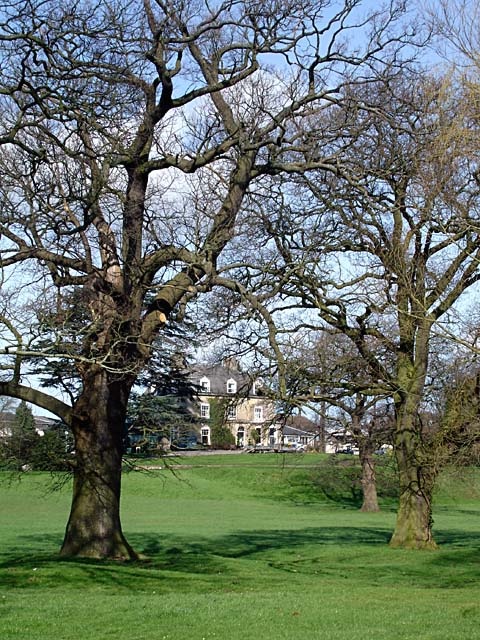
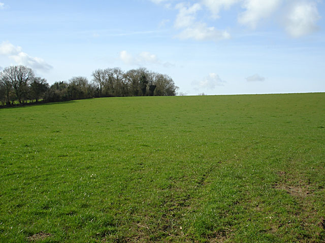
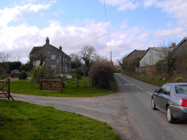
Winterbourne Community Woodland is a picturesque woodland located in Gloucestershire, England. Covering an area of approximately 35 acres, it provides a tranquil and serene escape from the hustle and bustle of urban life. The woodland is nestled between the villages of Frampton Cotterell and Winterbourne, offering a peaceful retreat for nature lovers and outdoor enthusiasts.
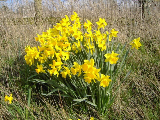
The woodland is predominantly composed of native broadleaf trees, including oak, beech, and ash, creating a diverse and vibrant ecosystem. The dense canopy provides shelter and nesting sites for a wide array of bird species, making it a haven for birdwatchers. Additionally, the woodland supports a rich variety of plant life, with wildflowers such as bluebells and wood anemones carpeting the forest floor during springtime.
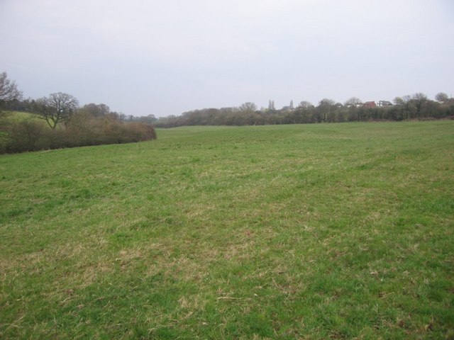
Winterbourne Community Woodland offers a range of recreational activities for visitors. There are several well-maintained walking trails that wind through the woodland, allowing visitors to explore and appreciate the natural beauty. The paths are suitable for all ages and abilities, making it an ideal destination for families and individuals alike.
Furthermore, the woodland features picnic areas and benches, encouraging visitors to relax and enjoy a picnic surrounded by the sights and sounds of nature. There is also a children's play area, providing entertainment for younger visitors.
Managed by a dedicated group of volunteers, Winterbourne Community Woodland is not only a place of natural beauty but also a community asset. The volunteers work tirelessly to maintain and preserve the woodland, organizing regular events and educational activities for the local community.
Overall, Winterbourne Community Woodland is a hidden gem, offering a peaceful haven for nature enthusiasts and a valuable resource for the local community.
If you have any feedback on the listing, please let us know in the comments section below.
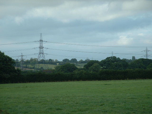
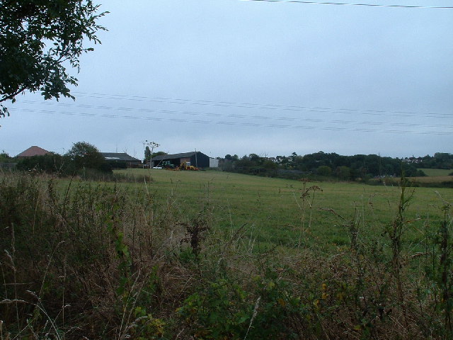
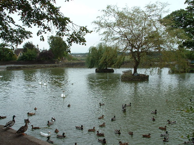
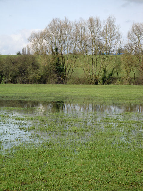
Winterbourne Community Woodland Images
Images are sourced within 2km of 51.532483/-2.4998707 or Grid Reference ST6581. Thanks to Geograph Open Source API. All images are credited.


Winterbourne Community Woodland is located at Grid Ref: ST6581 (Lat: 51.532483, Lng: -2.4998707)
Unitary Authority: South Gloucestershire
Police Authority: Avon and Somerset
What 3 Words
///camera.shuttling.rinsed. Near Winterbourne, Gloucestershire
Nearby Locations
Related Wikis

Watley's End
Watley's End was a small village located in South Gloucestershire, England. It now forms the northern part of Winterbourne. Watley's End Road, which runs...

Winterbourne United F.C.
Winterbourne United Football Club is a football club based in Winterbourne, near Bristol, England. Affiliated to the Gloucestershire County FA, they are...
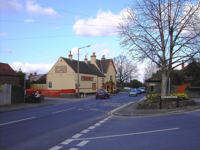
Winterbourne, Gloucestershire
Winterbourne is a large village in South Gloucestershire, England, situated just beyond the north fringe of Bristol. The village had a population of 8...
Winterbourne Academy
The Winterbourne Academy, is a co-educational school in South Gloucestershire. The school is in the village of Winterbourne in South Gloucestershire, on...
Yate Academy
Yate Academy (formerly King Edmund Community School) is a secondary school located in the town of Yate in South Gloucestershire, on the outskirts of Bristol...

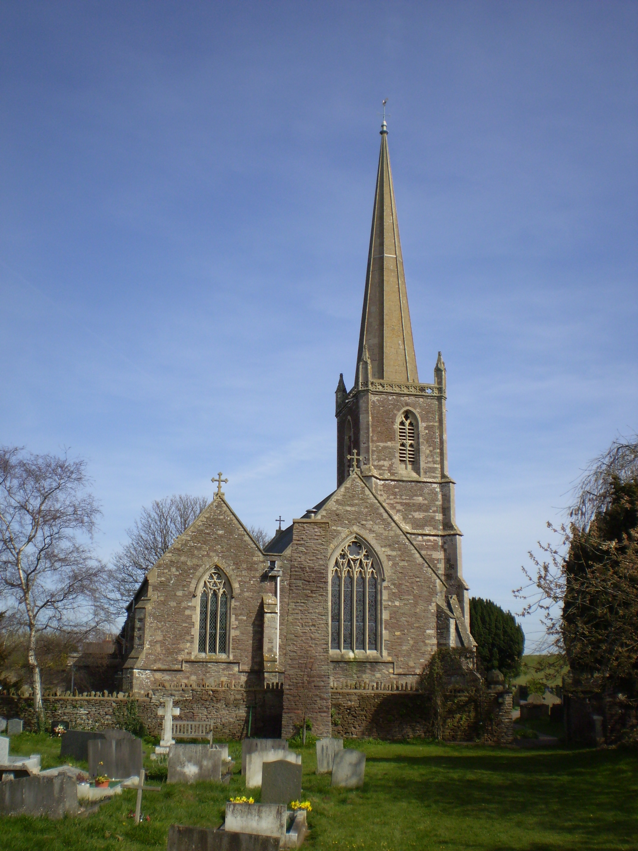
St Michael's Church, Winterbourne
St Michael the Archangel Church or simply St Michael's Church is an Anglican parish church located in Winterbourne, South Gloucestershire, on the northern...
Frampton Cotterell
Frampton Cotterell is a large village and parish, in South Gloucestershire, South West England, on the River Frome. The village is contiguous with Winterbourne...
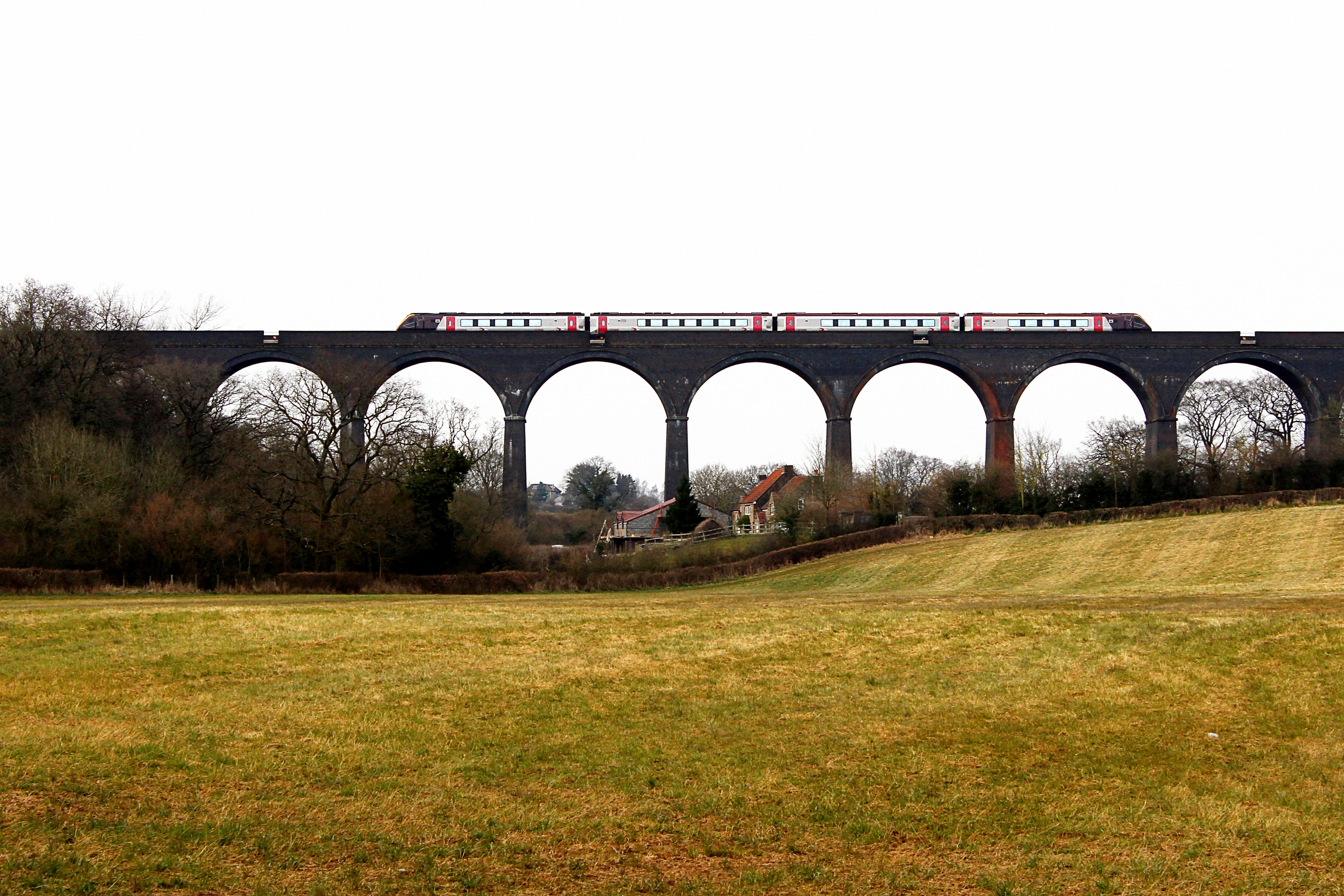
Huckford Viaduct
The Huckford Viaduct spans the River Frome just north of Winterbourne Down in South Gloucestershire, England. It presently forms part of the Badminton...
Nearby Amenities
Located within 500m of 51.532483,-2.4998707Have you been to Winterbourne Community Woodland?
Leave your review of Winterbourne Community Woodland below (or comments, questions and feedback).