Beanhill Coppice
Wood, Forest in Worcestershire Malvern Hills
England
Beanhill Coppice
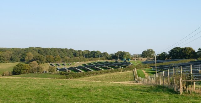
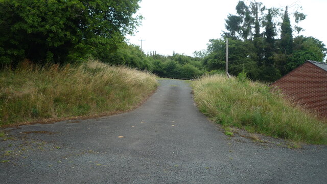
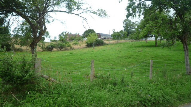
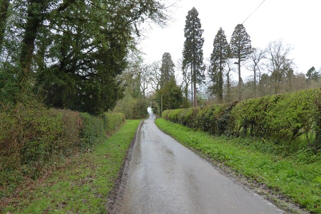
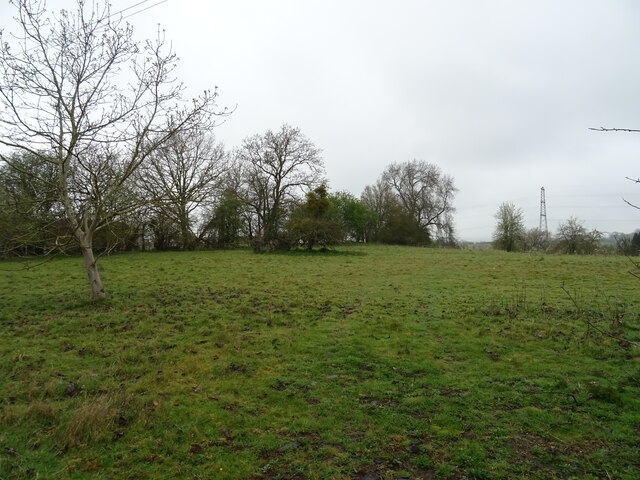
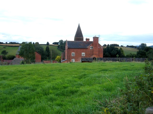
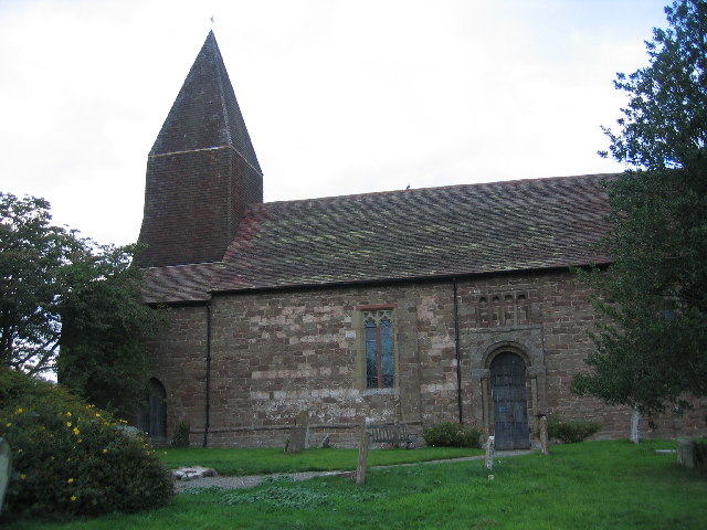
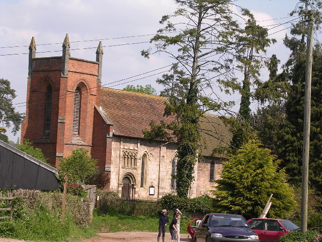
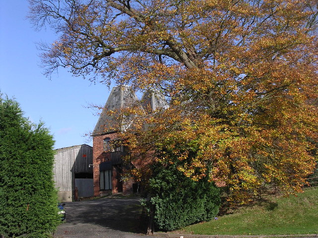
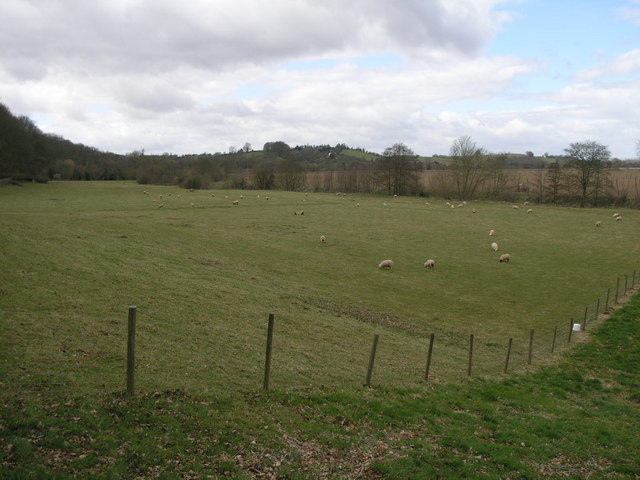
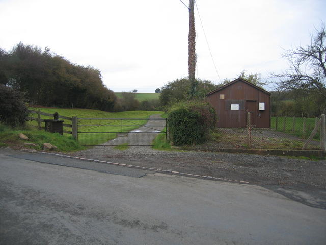
Beanhill Coppice is a stunning woodland located in Worcestershire, England. Covering an area of approximately 100 acres, this ancient forest is nestled in the heart of the county, offering visitors a peaceful and serene environment to explore and connect with nature.
The coppice is primarily composed of a diverse range of deciduous trees, including oak, ash, beech, and birch. The dense canopy created by these majestic trees provides a haven for a wide variety of wildlife, making it a popular spot for birdwatchers and nature enthusiasts. Visitors may be lucky enough to spot woodpeckers, buzzards, and various songbirds as they wander along the well-maintained trails.
The forest floor is adorned with an array of vibrant wildflowers, adding a burst of color to the woodland landscape. Bluebells, primroses, and wood anemones are just a few examples of the flora that can be found in abundance during the spring months.
Beanhill Coppice is also home to a small stream, which meanders through the woods, creating a tranquil atmosphere as it gently trickles along. The sound of running water adds to the overall sense of peace and tranquility that permeates the forest.
Due to its natural beauty and ecological significance, Beanhill Coppice has been designated as a Site of Special Scientific Interest (SSSI). This recognition ensures the protection and conservation of the woodland's unique ecosystem, allowing future generations to enjoy its natural wonders.
Whether it is a leisurely stroll, a picnic with loved ones, or simply a moment of solitude amidst nature, Beanhill Coppice offers a peaceful retreat for all who venture into its enchanting depths.
If you have any feedback on the listing, please let us know in the comments section below.
Beanhill Coppice Images
Images are sourced within 2km of 52.327074/-2.5137713 or Grid Reference SO6570. Thanks to Geograph Open Source API. All images are credited.
Beanhill Coppice is located at Grid Ref: SO6570 (Lat: 52.327074, Lng: -2.5137713)
Administrative County: Worcestershire
District: Malvern Hills
Police Authority: West Mercia
What 3 Words
///imprinted.dream.taker. Near Tenbury Wells, Worcestershire
Nearby Locations
Related Wikis

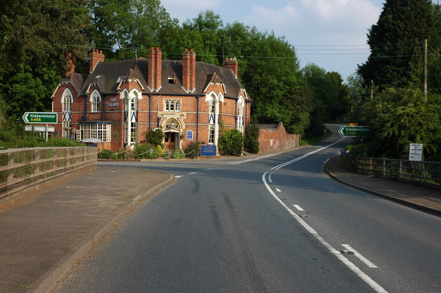
Newnham Bridge
Newnham Bridge is a village in the parish of Knighton on Teme, near Tenbury Wells, Worcestershire, England, United Kingdom. The village derives part of...
Marlbrook, Shropshire
Marlbrook is a hamlet in Shropshire, England, right on the border with Worcestershire. == References == The geographic coordinates are from the Ordnance...

Newnham Bridge railway station
Newnham Bridge railway station was a station on the Tenbury and Bewdley Railway in Newnham Bridge, Worcestershire, England. The station was named 'Newnham...

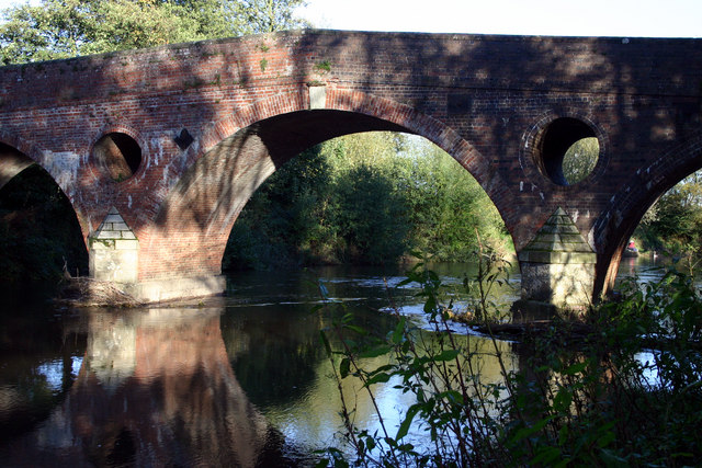
Eastham bridge
Eastham bridge was a Grade II listed bridge over the River Teme at Eastham, near Tenbury Wells, Worcestershire, England. Built as a toll bridge in 1793...

Knighton on Teme
Knighton on Teme is a village and civil parish once in the hundred of Doddingtree and now in the Malvern Hills District of the county of Worcestershire...

Neen Sollars railway station
Neen Sollars railway station was a station on the Tenbury & Bewdley railway in Neen Sollars, Shropshire, England. The station opened on 13 August 1864...

Neen Sollars
Neen Sollars is a village and civil parish in south east Shropshire, England. It is situated close to the border with Worcestershire, three miles south...

Eastham, Worcestershire
Eastham is a village and civil parish in the Malvern Hills District in the county of Worcestershire, England. It had a population of 254 in 2021.Eastham...
Nearby Amenities
Located within 500m of 52.327074,-2.5137713Have you been to Beanhill Coppice?
Leave your review of Beanhill Coppice below (or comments, questions and feedback).