Swine Knott Plantation
Wood, Forest in Lancashire Lancaster
England
Swine Knott Plantation

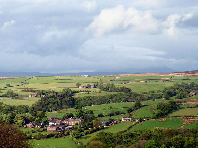
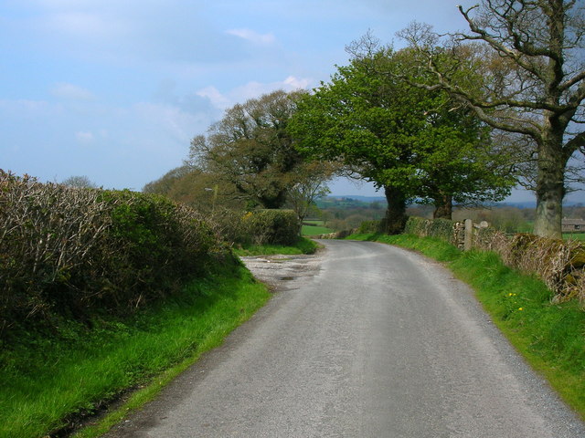
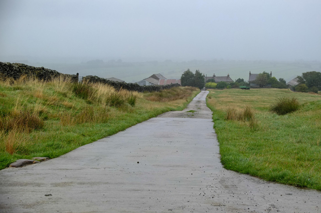
Swine Knott Plantation is a picturesque woodland area located in the county of Lancashire, England. Situated near the village of Wood, this forested region spans approximately 100 acres, making it a significant natural landmark in the area. The plantation is nestled within the scenic countryside, offering visitors a tranquil and immersive experience with nature.
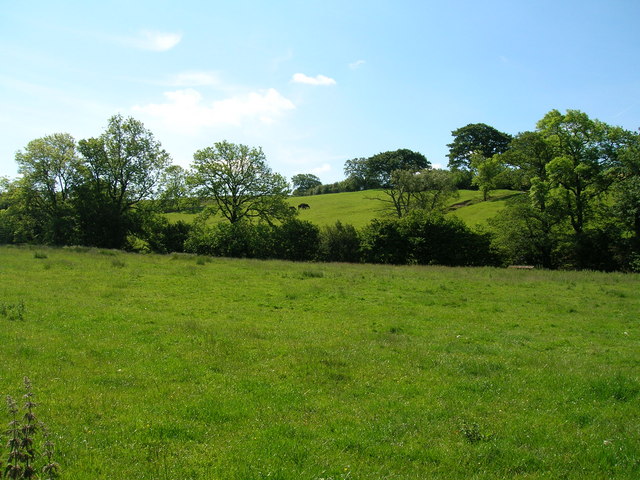
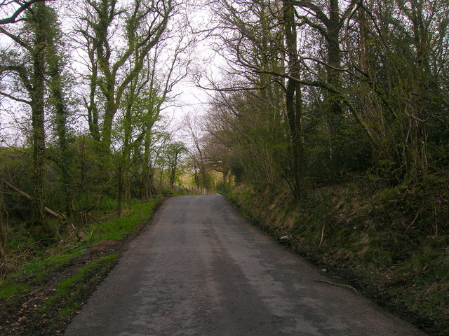
The woodland is primarily composed of a mix of deciduous and coniferous trees, creating a diverse and vibrant ecosystem. Tall oak, beech, and birch trees dominate the landscape, providing a dense canopy that filters sunlight and creates a shaded and cool environment below. The forest floor is adorned with a variety of native flora, including bluebells, wild garlic, and ferns, further enhancing the enchanting atmosphere.
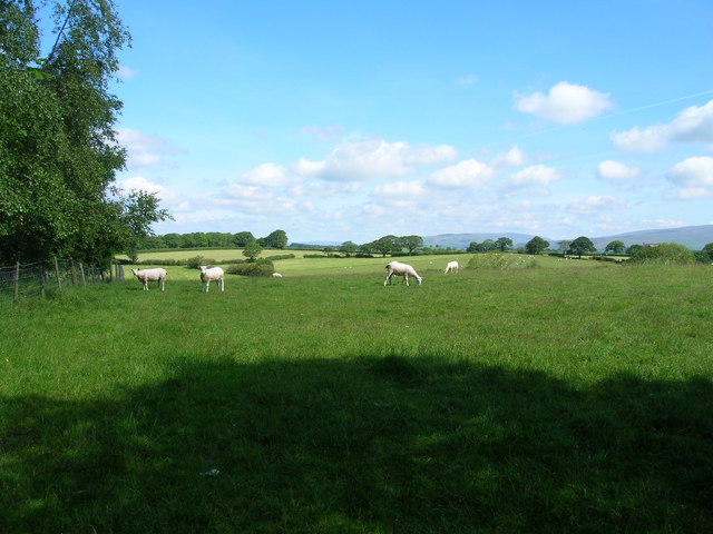
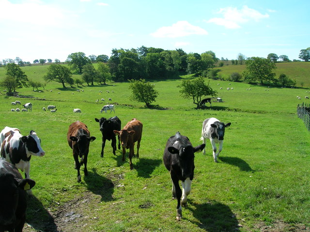
Swine Knott Plantation is not only a haven for flora but also a sanctuary for local wildlife. The abundance of trees and vegetation attracts a wide range of bird species, such as woodpeckers, owls, and finches, making it a popular spot for birdwatching enthusiasts. Additionally, small mammals like squirrels, rabbits, and foxes can be spotted throughout the woodland, adding to the biodiversity of the area.
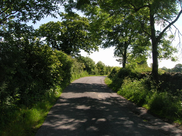
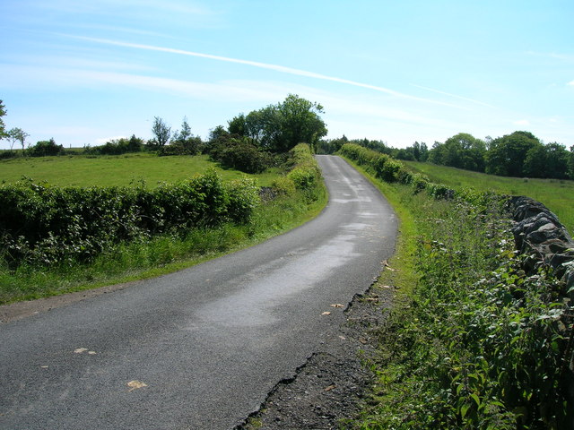
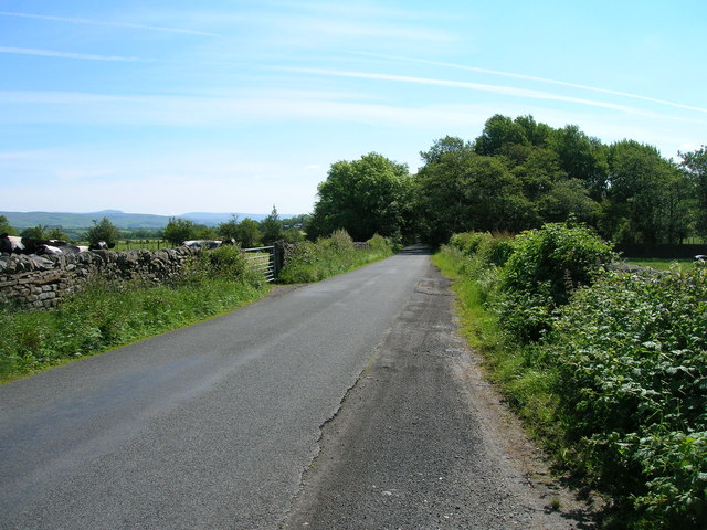
For outdoor enthusiasts, the plantation offers a network of well-maintained walking trails, allowing visitors to explore and appreciate the natural beauty of the forest. These paths wind through the trees and offer stunning vistas of the surrounding countryside. Picnic areas and benches are strategically placed along the trails, providing opportunities for visitors to rest and enjoy the peaceful ambiance.
Swine Knott Plantation is a cherished natural gem in Lancashire, offering a serene and immersive experience for nature lovers and a valuable habitat for local wildlife.
If you have any feedback on the listing, please let us know in the comments section below.
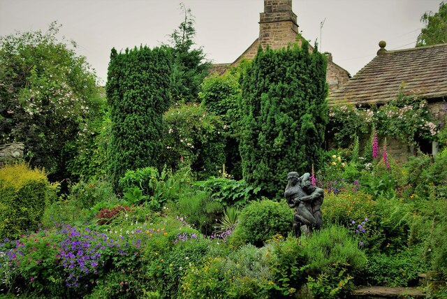
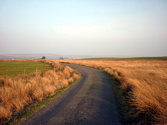
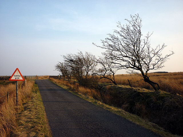
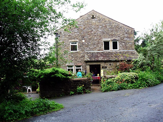
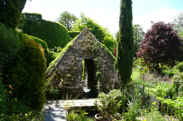
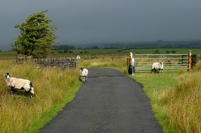
Swine Knott Plantation Images
Images are sourced within 2km of 54.089536/-2.5386859 or Grid Reference SD6466. Thanks to Geograph Open Source API. All images are credited.
Swine Knott Plantation is located at Grid Ref: SD6466 (Lat: 54.089536, Lng: -2.5386859)
Administrative County: Lancashire
District: Lancaster
Police Authority: Lancashire
What 3 Words
///metals.blotchy.heats. Near High Bentham, North Yorkshire
Nearby Locations
Related Wikis

Church of the Good Shepherd, Tatham
The Church of the Good Shepherd is on Tatham Fell in Lancashire, England. It is an active Anglican parish church in the deanery of Tunstall, the archdeaconry...

Great Stone of Fourstones
The Great Stone of Fourstones, or the Big Stone as it is known locally, is a glacial deposit on the moorlands of Tatham Fells, England, straddling the...

Bentham Grammar School
Bentham Grammar School was an independent school in Bentham, North Yorkshire, England. The school was founded in 1726 but closed in 2002 due to dwindling...

Low Bentham railway station
Low Bentham railway station served the village of Low Bentham, North Yorkshire, England, from 1850 to 1853 on the "Little" North Western Railway. ��2...
Nearby Amenities
Located within 500m of 54.089536,-2.5386859Have you been to Swine Knott Plantation?
Leave your review of Swine Knott Plantation below (or comments, questions and feedback).