Roundbank Coppice
Wood, Forest in Shropshire
England
Roundbank Coppice
Roundbank Coppice is a picturesque woodland located in the county of Shropshire, England. Nestled within the heart of the countryside, this enchanting forest covers an area of approximately 30 acres, offering visitors a tranquil and idyllic escape from the bustling city life.
The coppice is characterized by its diverse range of tree species, including oak, ash, birch, and beech. These majestic trees create a dense canopy that filters the sunlight, providing a cool and shaded environment even in the height of summer. The forest floor is adorned with a rich carpet of ferns, wildflowers, and mosses, adding to the natural beauty of the surroundings.
Visitors to Roundbank Coppice can enjoy a variety of activities, such as hiking, birdwatching, and nature photography. The well-maintained trails wind through the woodland, leading explorers deep into the heart of nature. The serene atmosphere offers the perfect opportunity for relaxation and reflection, making it a popular spot for picnics and family outings.
The coppice is also home to a diverse range of wildlife, including several species of birds, mammals, and insects. Birdsong fills the air as visitors wander through the forest, with sightings of woodpeckers, owls, and song thrushes being common. Lucky visitors may even catch a glimpse of a shy deer or a playful squirrel darting through the undergrowth.
Roundbank Coppice truly encapsulates the beauty and tranquility of the Shropshire countryside. With its lush greenery, diverse wildlife, and serene atmosphere, it is a haven for nature lovers and a must-visit destination for anyone seeking a peaceful retreat in the heart of nature.
If you have any feedback on the listing, please let us know in the comments section below.
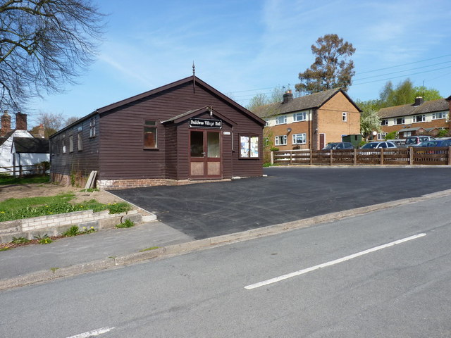
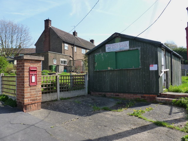
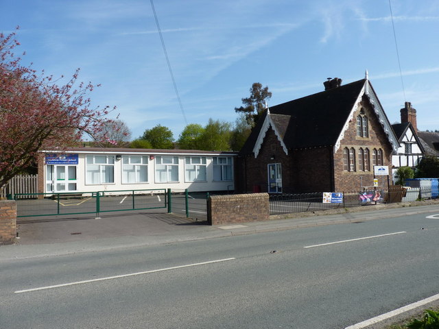
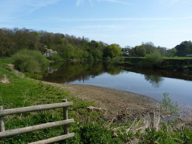
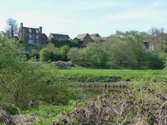
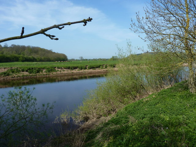
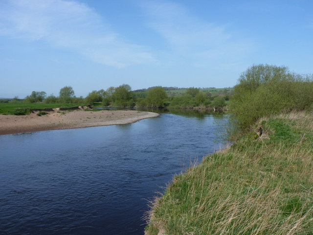
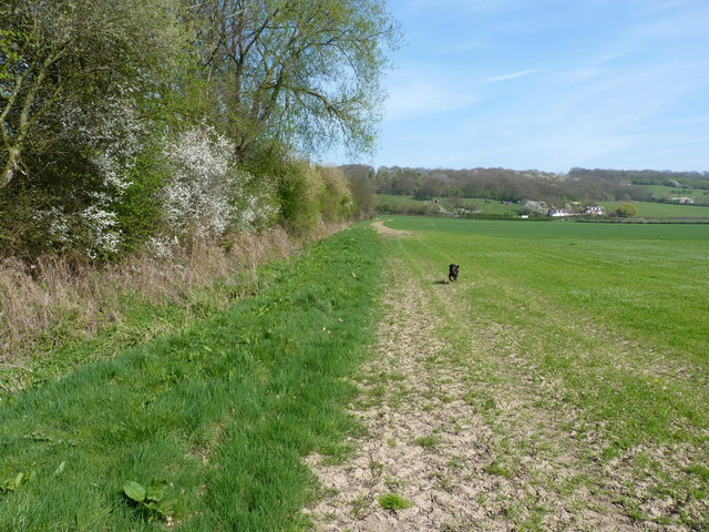
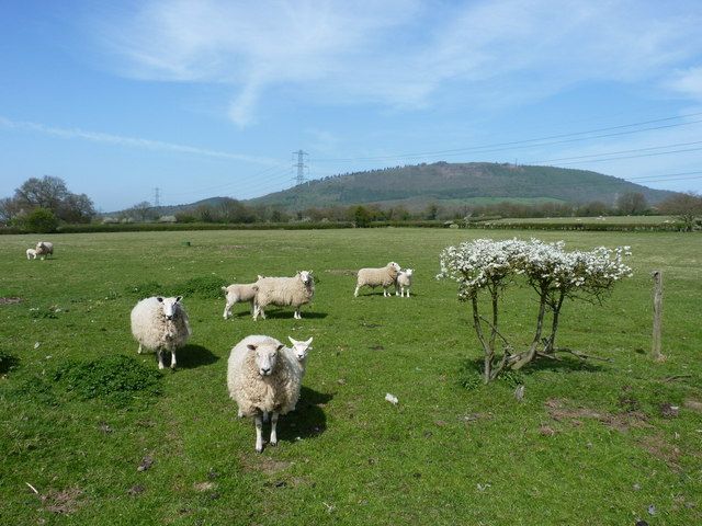
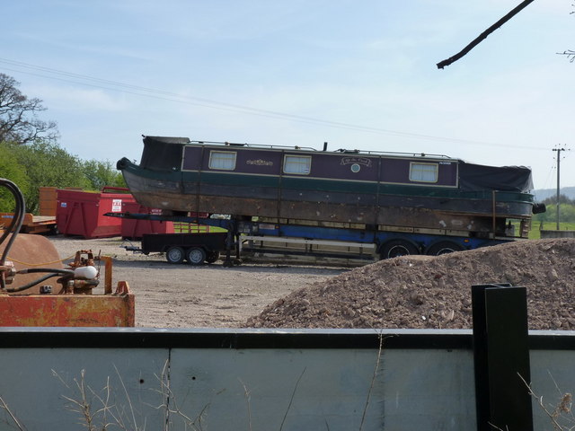
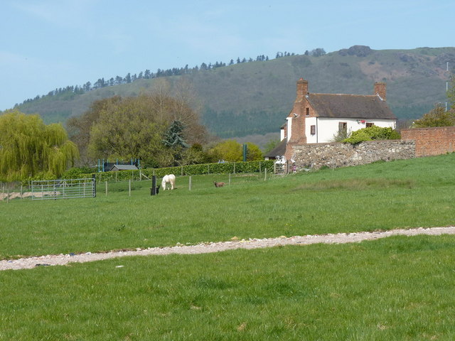
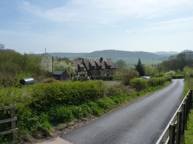
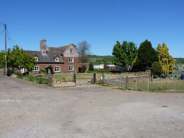
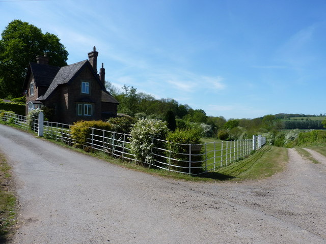
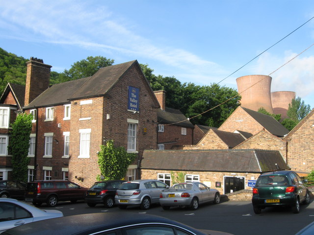
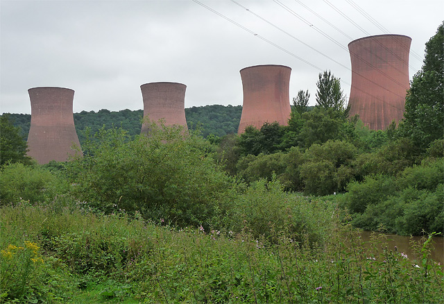
Roundbank Coppice Images
Images are sourced within 2km of 52.640013/-2.5208014 or Grid Reference SJ6404. Thanks to Geograph Open Source API. All images are credited.

Roundbank Coppice is located at Grid Ref: SJ6404 (Lat: 52.640013, Lng: -2.5208014)
Unitary Authority: Shropshire
Police Authority: West Mercia
What 3 Words
///ritual.conceals.flat. Near Ironbridge, Shropshire
Nearby Locations
Related Wikis

Buildwas railway station
Buildwas railway station was an isolated junction railway station on the Wellington to Craven Arms Railway and Severn Valley Railway. Opened on 1 February...

Buildwas Abbey
Buildwas Abbey was a Cistercian (originally Savigniac) monastery located on the banks of the River Severn, at Buildwas in Shropshire, England - today about...

Buildwas
Buildwas is a village and civil parish in Shropshire, England, on the north bank of the River Severn at grid reference SJ641045. It lies on the B4380 road...

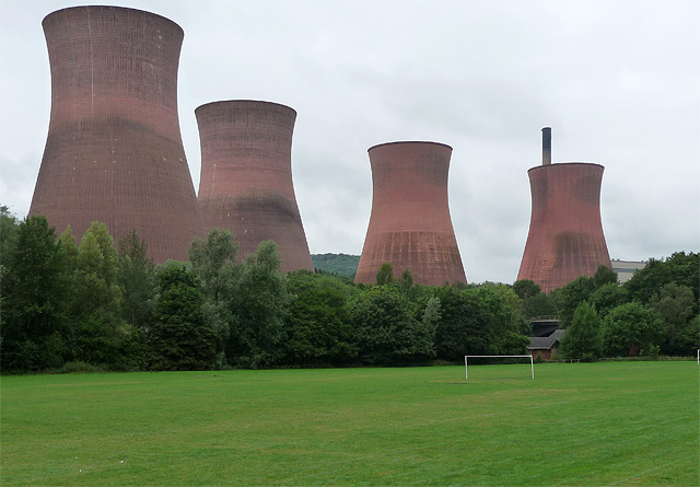
Ironbridge power stations
The Ironbridge power stations (also known as the Buildwas power stations) refers to a series of two power stations that occupied a site on the banks of...
Nearby Amenities
Located within 500m of 52.640013,-2.5208014Have you been to Roundbank Coppice?
Leave your review of Roundbank Coppice below (or comments, questions and feedback).