Wirehill Coppice
Wood, Forest in Shropshire
England
Wirehill Coppice
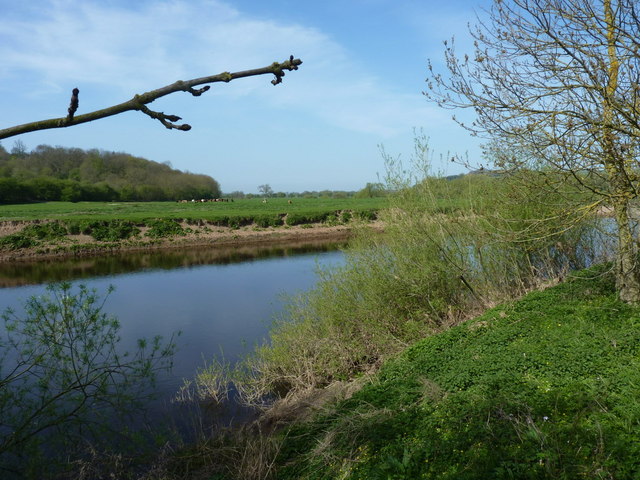
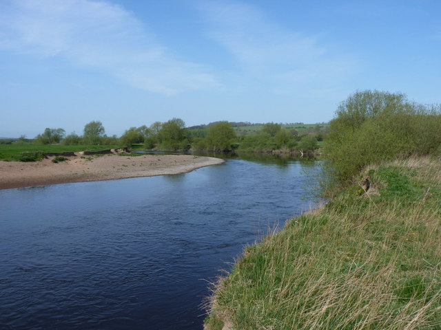
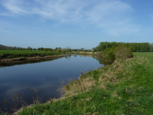
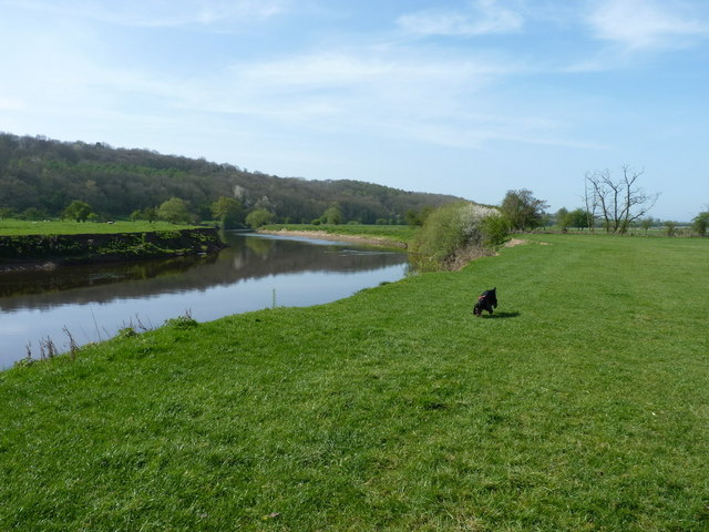
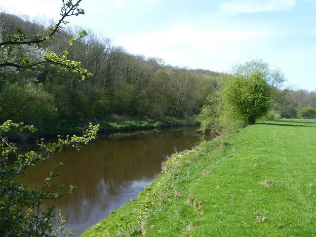
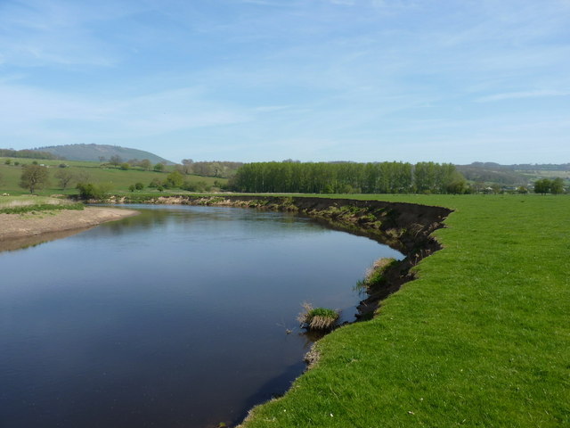
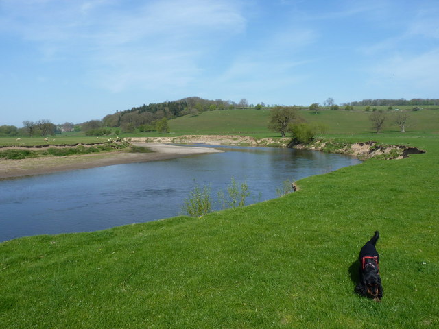
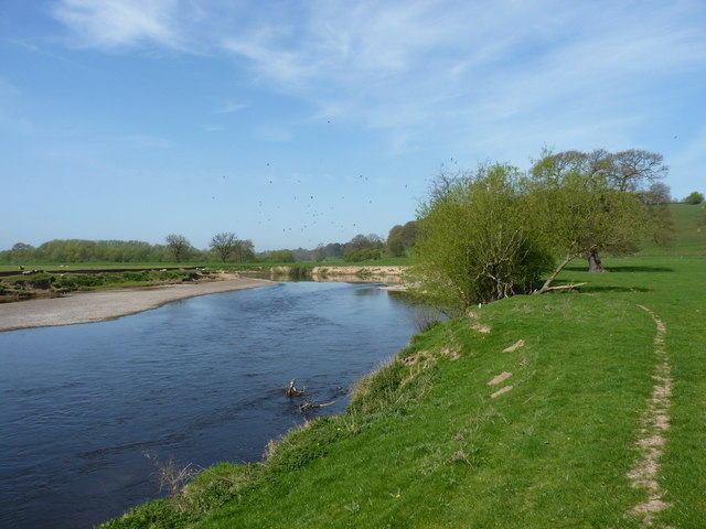
Wirehill Coppice is a picturesque woodland located in the county of Shropshire, England. Situated near the village of Alveley, this enchanting forest covers an area of approximately 80 acres and is known for its natural beauty and diverse ecosystem.
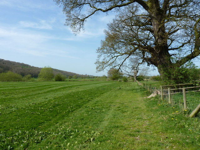
The coppice is predominantly made up of broadleaf trees, including oak, ash, birch, and beech, which create a dense canopy that provides a sheltered and tranquil environment. The forest floor is adorned with a rich carpet of ferns, mosses, and wildflowers, adding to the overall beauty and biodiversity of the area.
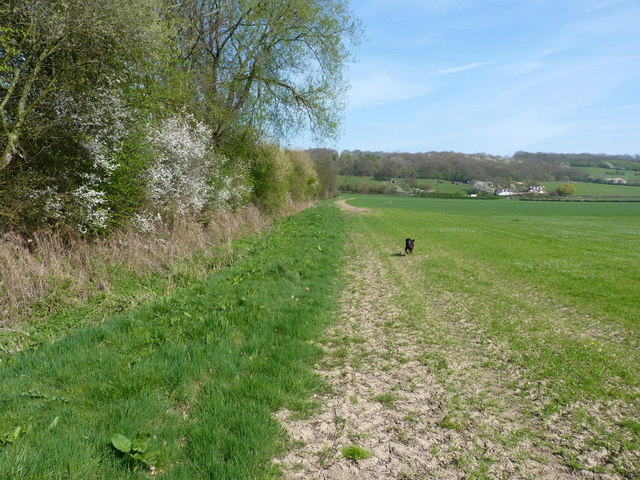
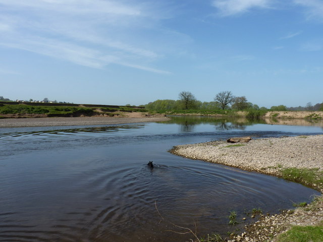
The woodland is intersected by a network of well-maintained footpaths, allowing visitors to explore and immerse themselves in its serene surroundings. These paths lead to various points of interest within the coppice, including a small pond and a meandering stream that adds to the overall charm and tranquility of the forest.
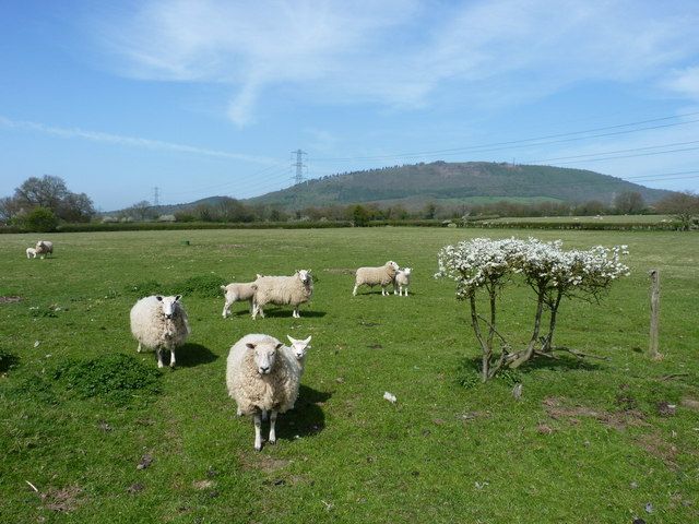
Wirehill Coppice is also home to a wide array of wildlife. It provides a habitat for numerous bird species, such as woodpeckers, nuthatches, and tawny owls, making it a popular spot for birdwatchers. Additionally, the forest is inhabited by mammals such as deer, foxes, and badgers, further enhancing the natural diversity of the area.
The coppice is a popular destination for nature enthusiasts, hikers, and families seeking a peaceful retreat. Its accessibility and natural beauty make it an ideal location for leisurely walks, picnics, and photography. With its idyllic atmosphere and stunning scenery, Wirehill Coppice offers visitors a chance to connect with nature and escape the hustle and bustle of everyday life.
If you have any feedback on the listing, please let us know in the comments section below.
Wirehill Coppice Images
Images are sourced within 2km of 52.638234/-2.5328828 or Grid Reference SJ6404. Thanks to Geograph Open Source API. All images are credited.


Wirehill Coppice is located at Grid Ref: SJ6404 (Lat: 52.638234, Lng: -2.5328828)
Unitary Authority: Shropshire
Police Authority: West Mercia
What 3 Words
///shipyards.diplomat.kinks. Near Ironbridge, Shropshire
Nearby Locations
Related Wikis

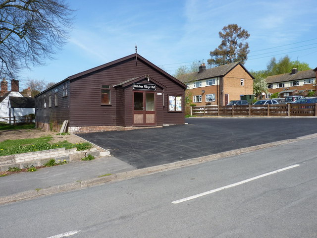
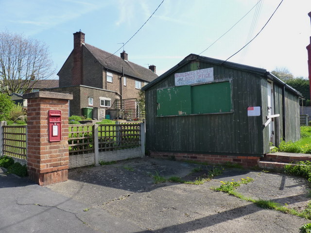
Buildwas
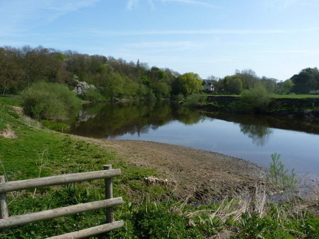
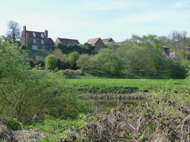
Buildwas is a village and civil parish in Shropshire, England, on the north bank of the River Severn at grid reference SJ641045. It lies on the B4380 road...

Buildwas Abbey
Buildwas Abbey was a Cistercian (originally Savigniac) monastery located on the banks of the River Severn, at Buildwas in Shropshire, England - today about...

Buildwas railway station
Buildwas railway station was an isolated junction railway station on the Wellington to Craven Arms Railway and Severn Valley Railway. Opened on 1 February...

Ironbridge power stations
The Ironbridge power stations (also known as the Buildwas power stations) refers to a series of two power stations that occupied a site on the banks of...
Nearby Amenities
Located within 500m of 52.638234,-2.5328828Have you been to Wirehill Coppice?
Leave your review of Wirehill Coppice below (or comments, questions and feedback).