Snead Coppice

Wood, Forest in Shropshire

England

Snead Coppice

Gate piers near Morville A view up the long avenue of limes towards Aldenham Park (<a href="https://www.geograph.org.uk/photo/3435659">SO6795 : Aldenham Park, Morville</a>) framed by the tall, early-C18th gate piers topped by lions. Grade II listed.
The fine gates, missing when this photo was taken, have since returned: <a href="https://www.geograph.org.uk/photo/7024598">SO6694 : Ornate gates and avenue to Aldenham Park</a>.
Gate piers near Morville Credit: Stephen Richards

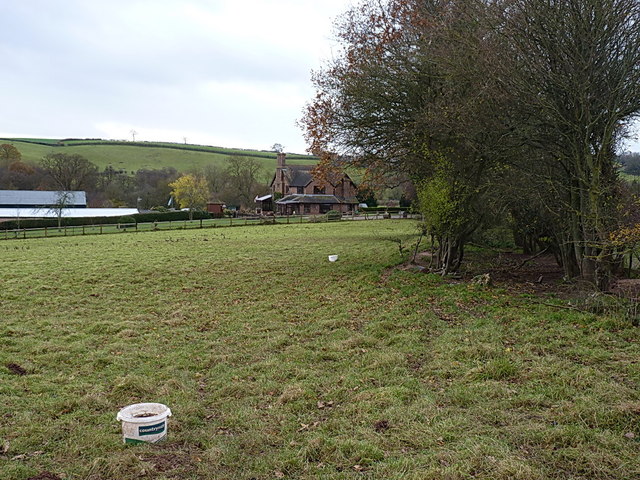
Snead Coppice is a serene woodland area located in the county of Shropshire, England. Stretching across an approximate area of 100 hectares, it is nestled within the picturesque countryside, offering visitors a tranquil escape from the bustling city life.

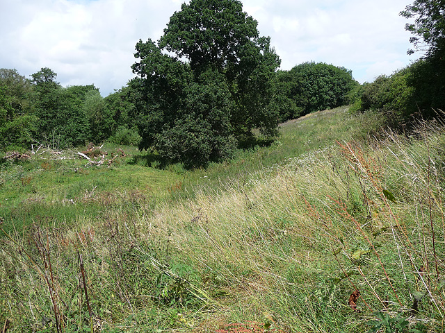
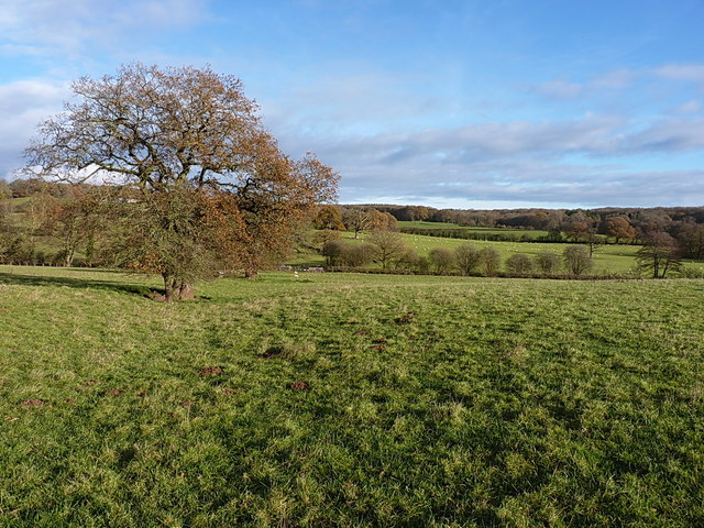
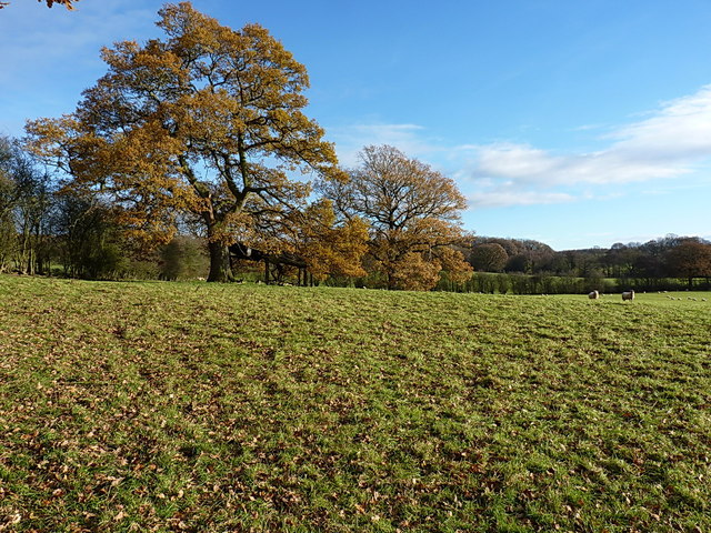
The coppice is primarily composed of a mix of deciduous trees, including oak, ash, and beech. These trees create a dense canopy that filters sunlight, casting a dappled shade on the forest floor. This unique ecosystem provides a nurturing environment for a variety of flora and fauna.

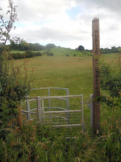
The woodland is crisscrossed by several well-maintained footpaths and trails, allowing visitors to explore the area at their own pace. These paths wind through the forest, offering glimpses of vibrant wildflowers, moss-covered rocks, and babbling brooks. The rich biodiversity of Snead Coppice attracts a range of wildlife, including deer, foxes, and a myriad of bird species.

For nature enthusiasts, Snead Coppice offers ample opportunities for birdwatching, photography, and simply immersing oneself in the beauty of nature. The peaceful ambiance and the soothing sounds of chirping birds and rustling leaves make it an ideal spot for relaxation and rejuvenation.

Moreover, the coppice is managed sustainably, with periodic thinning and coppicing carried out to maintain a healthy woodland ecosystem. This management also ensures the production of sustainable timber, which is utilized for various purposes, such as construction and fuel.

Overall, Snead Coppice is a captivating forested area, combining natural beauty, biodiversity, and sustainable management practices. It provides a haven for nature enthusiasts and offers a glimpse into the mesmerizing charm of Shropshire's countryside.

If you have any feedback on the listing, please let us know in the comments section below.

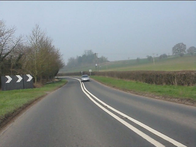
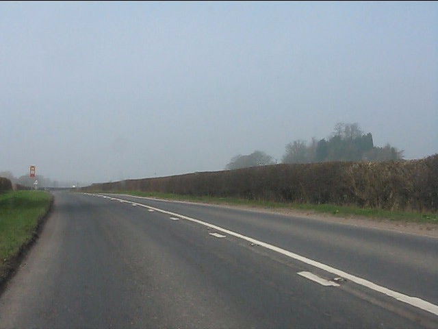
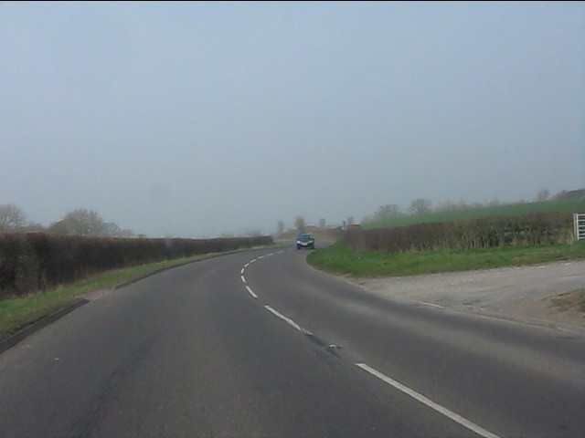
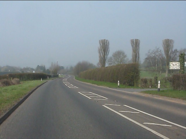
Snead Coppice Images

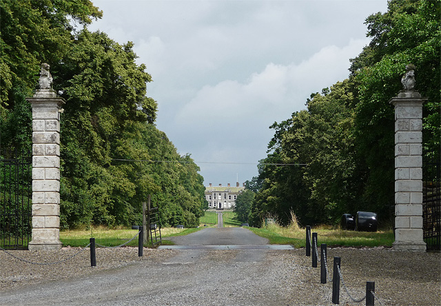
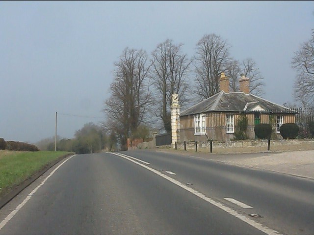
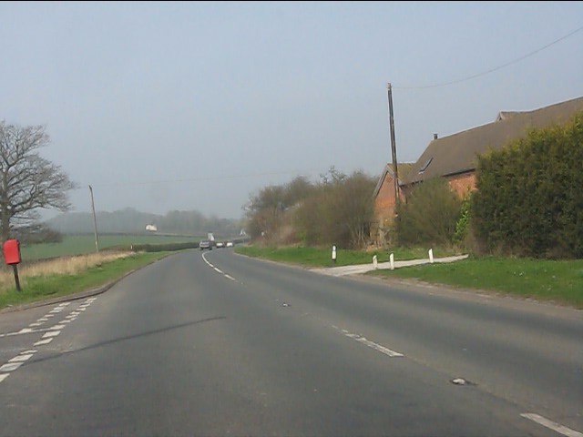
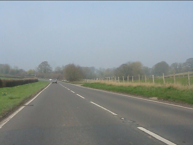
Images are sourced within 2km of 52.55261/-2.5196179 or Grid Reference SO6495. Thanks to Geograph Open Source API. All images are credited.

Gate piers near Morville A view up the long avenue of limes towards Aldenham Park (<a href="https://www.geograph.org.uk/photo/3435659">SO6795 : Aldenham Park, Morville</a>) framed by the tall, early-C18th gate piers topped by lions. Grade II listed.
The fine gates, missing when this photo was taken, have since returned: <a href="https://www.geograph.org.uk/photo/7024598">SO6694 : Ornate gates and avenue to Aldenham Park</a>.
Gate piers near Morville
A view up the long avenue of limes towards Aldenham Park (SO6795 : Aldenham Park, Morville) framed by the tall, early-C18th gate piers topped by lions. Grade II listed. The fine gates, missing when this photo was taken, have since returned: SO6694 : Ornate gates and avenue to Aldenham Park.
Kissing gate and an invisible footpath
Path, Morville Admittedly hard to discern but it heads towards the trees at top-right, providing a short cut between the B4368 and A458 before heading further north.
Path, Morville
Admittedly hard to discern but it heads towards the trees at top-right, providing a short cut between the B4368 and A458 before heading further north.
Gatehouse for Aldenham Park
A458 - sweeping bends near Poplar Cottage Farm
A458 near Poplar Cottage Farm
Bends on the A458
Bends on the A458
A458 near Park Farm
A458 near Park Farm
A458 nearing Muckley Cross
Muckley Cross Farm
Muckley Cross Farm
A458 north of Muckley Cross
Manor House, Acton Round Dating from 1713-14, built for Sir Whitmore Acton, probably to the designs of Francis Smith of Warwick. The pinkish-red brick facade is divided into a 2-3-2 rhythm by giant rusticated pilaster strips. Grade I listed.
-----------------------------------------------------------------------------
In the C18th architectural hierarchy, Smith (1672-1738) lay somewhere between the London elite and the breed of skilled, provincial builder-architects who created substantial parts of the built fabric of the country that we see today. It's likely that brick dust ran in his veins - his father, also Francis, and his brother, William, were bricklayers, his elder brother Richard was also in the trade, and Francis's son, William, inherited his practice. Centred around Warwick, Francis built up a substantial practice, designing numerous country houses for the Midlands gentry, covering every county in the region except Nottinghamshire, as well as churches and the odd public building. After the catastrophic fire of 1694 in Warwick, he and William were contracted to supervise rebuilding and rebuilt parts of the town themselves. Francis assembled a small band of talented craftsmen to whom he returned time and time again. Whilst not particularly innovative, his commissions were secured on the back of building attractive houses to high standards of craftsmanship, his trustworthiness and reliability. Two members of the London elite, James Gibbs and Thomas Archer, entrusted Francis to execute several of their designs, and it seems likely that in at least one of these cases he modified the building to his own designs.
Manor House, Acton Round
Dating from 1713-14, built for Sir Whitmore Acton, probably to the designs of Francis Smith of Warwick. The pinkish-red brick facade is divided into a 2-3-2 rhythm by giant rusticated pilaster strips. Grade I listed. ----------------------------------------------------------------------------- In the C18th architectural hierarchy, Smith (1672-1738) lay somewhere between the London elite and the breed of skilled, provincial builder-architects who created substantial parts of the built fabric of the country that we see today. It's likely that brick dust ran in his veins - his father, also Francis, and his brother, William, were bricklayers, his elder brother Richard was also in the trade, and Francis's son, William, inherited his practice. Centred around Warwick, Francis built up a substantial practice, designing numerous country houses for the Midlands gentry, covering every county in the region except Nottinghamshire, as well as churches and the odd public building. After the catastrophic fire of 1694 in Warwick, he and William were contracted to supervise rebuilding and rebuilt parts of the town themselves. Francis assembled a small band of talented craftsmen to whom he returned time and time again. Whilst not particularly innovative, his commissions were secured on the back of building attractive houses to high standards of craftsmanship, his trustworthiness and reliability. Two members of the London elite, James Gibbs and Thomas Archer, entrusted Francis to execute several of their designs, and it seems likely that in at least one of these cases he modified the building to his own designs.
Acton Round Indian kiosk A modern folly built to disguise a water tank.
Acton Round Indian kiosk
A modern folly built to disguise a water tank.
Footpath towards Hawthorne Farm A row of old oak trees and a ditch mark the line of a former hedge, now followed by a path from Muckley Cross to Hawthorne Farm.
Footpath towards Hawthorne Farm
A row of old oak trees and a ditch mark the line of a former hedge, now followed by a path from Muckley Cross to Hawthorne Farm.
Across a field towards Well Dingle Autumn oaks and a collapsing field barn beneath them, just to the south of Hawthorne Farm.
Across a field towards Well Dingle
Autumn oaks and a collapsing field barn beneath them, just to the south of Hawthorne Farm.
Hawthorne Farm from the south Approaching the farm through sheep-fields from Muckley Cross; the legal path goes to the right of the house, but there seems to have been an acceptance that the gateway into the farmyard to the left of the house is in more common use.
Hawthorne Farm from the south
Approaching the farm through sheep-fields from Muckley Cross; the legal path goes to the right of the house, but there seems to have been an acceptance that the gateway into the farmyard to the left of the house is in more common use.
OS benchmark - Hawthorne Farm barn An OS cutmark in the bricks of a barn at Hawthorne Farm; originally levelled at 164.638m above Ordnance Datum Newlyn. This one's a bit awkward to access, as a cattle shed has been built onto the end of the original barn, leaving only a narrow gap to poke a head or camera through (not both at the same time)
OS benchmark - Hawthorne Farm barn
An OS cutmark in the bricks of a barn at Hawthorne Farm; originally levelled at 164.638m above Ordnance Datum Newlyn. This one's a bit awkward to access, as a cattle shed has been built onto the end of the original barn, leaving only a narrow gap to poke a head or camera through (not both at the same time)
Cottage at Muckley Cross A particularly fine rural cottage and its outbuildings, just off the A458 road.
Cottage at Muckley Cross
A particularly fine rural cottage and its outbuildings, just off the A458 road.
Show me another place!

Snead Coppice is located at Grid Ref: SO6495 (Lat: 52.55261, Lng: -2.5196179)

Unitary Authority: Shropshire

Police Authority: West Mercia

What 3 Words

///notice.unrealistic.concluded. Near Much Wenlock, Shropshire

Nearby Locations

Snead Coppice Muckley

Related Wikis

Aston Eyre Hall

Aston Eyre Hall is an unfortified stone manor house at Aston Eyre near Bridgnorth in the English county of Shropshire, United Kingdom. It is a Grade II...

Acton Round

Acton Round is a village and civil parish in the English county of Shropshire. Acton Round was recorded in the Domesday Book as Achetune. The civil parish...

Aston Eyre

Aston Eyre is a hamlet and civil parish in Shropshire, England, about four miles west of Bridgnorth. The area has a significant amount of green space....

Aldenham Park, Morville

Aldenham Park, also known as Aldenham Hall, is a late 17th-century country house in Morville, near Bridgnorth, Shropshire, England which stands in 12 hectares...

Have you been to Snead Coppice?

Leave your review of Snead Coppice below (or comments, questions and feedback).