Spen Gill Wood
Wood, Forest in Lancashire Lancaster
England
Spen Gill Wood
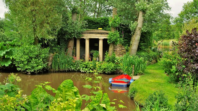
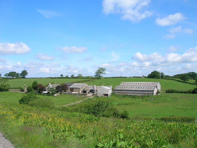
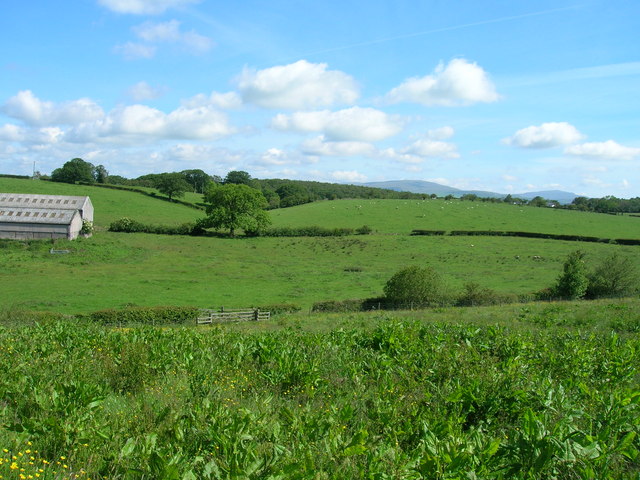
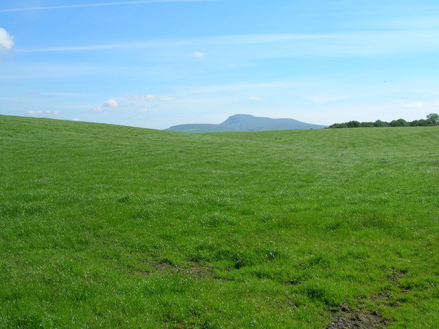
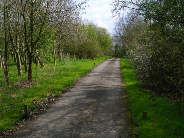
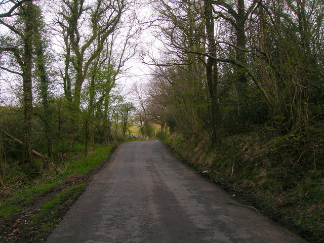
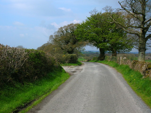
Spen Gill Wood is a picturesque woodland located in Lancashire, England. Covering an area of approximately 200 acres, it is a notable natural attraction in the region. The wood is nestled within the larger Spen Valley, offering visitors a serene and tranquil environment away from the hustle and bustle of urban life.
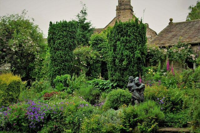
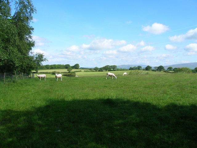
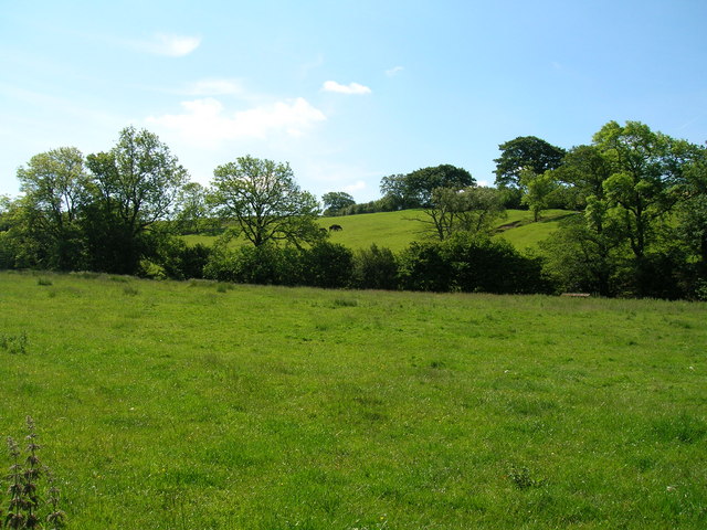
The wood features a diverse range of tree species, including oak, beech, birch, and coniferous trees. This variety contributes to the rich biodiversity found within the woodland, providing a habitat for numerous plant and animal species. As visitors explore the wood, they can encounter a vibrant array of wildflowers, mosses, and ferns, adding to the natural beauty of the environment.
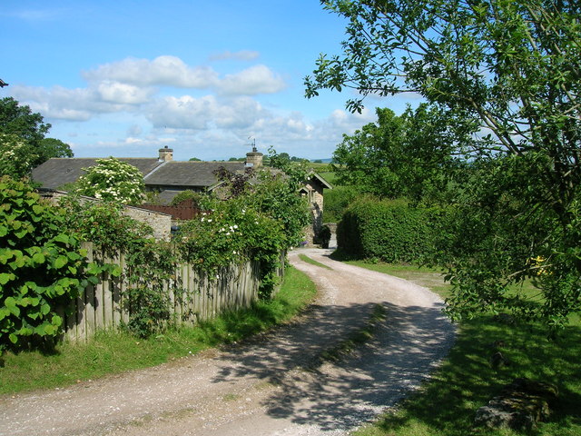
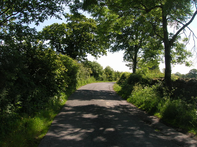
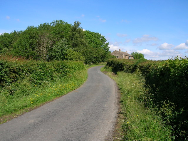
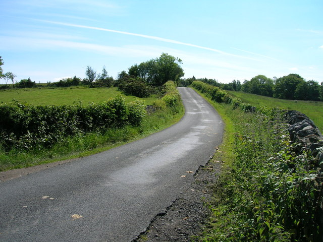
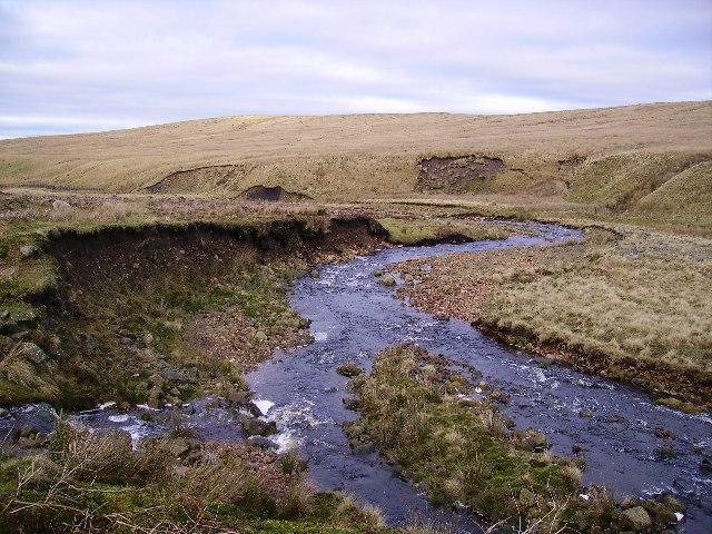
Several walking trails wind their way through Spen Gill Wood, allowing visitors to explore the area at their own pace. These paths offer scenic views of the surrounding countryside and provide ample opportunities for nature observation and photography. Additionally, the wood is home to a small stream that meanders through its heart, adding to the tranquil atmosphere.
The wood is managed by a local conservation group that aims to preserve its natural features and protect the wildlife that calls it home. As such, visitors are encouraged to respect the environment by following designated paths and not disturbing the flora and fauna.
Overall, Spen Gill Wood is a captivating destination for nature enthusiasts, offering a peaceful retreat where visitors can connect with the beauty of Lancashire's woodlands.
If you have any feedback on the listing, please let us know in the comments section below.
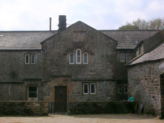
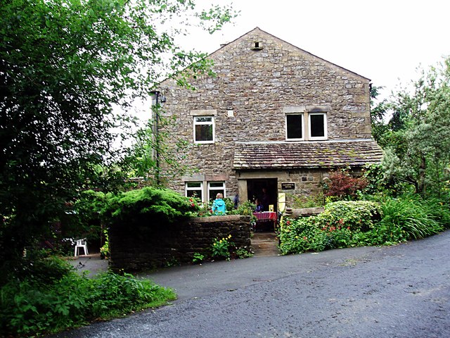
Spen Gill Wood Images
Images are sourced within 2km of 54.097298/-2.5494903 or Grid Reference SD6466. Thanks to Geograph Open Source API. All images are credited.
Spen Gill Wood is located at Grid Ref: SD6466 (Lat: 54.097298, Lng: -2.5494903)
Administrative County: Lancashire
District: Lancaster
Police Authority: Lancashire
What 3 Words
///builder.almost.clinking. Near High Bentham, North Yorkshire
Nearby Locations
Related Wikis

Church of the Good Shepherd, Tatham
The Church of the Good Shepherd is on Tatham Fell in Lancashire, England. It is an active Anglican parish church in the deanery of Tunstall, the archdeaconry...

Bentham Grammar School
Bentham Grammar School was an independent school in Bentham, North Yorkshire, England. The school was founded in 1726 but closed in 2002 due to dwindling...

Low Bentham railway station
Low Bentham railway station served the village of Low Bentham, North Yorkshire, England, from 1850 to 1853 on the "Little" North Western Railway. ��2...

Great Stone of Fourstones
The Great Stone of Fourstones, or the Big Stone as it is known locally, is a glacial deposit on the moorlands of Tatham Fells, England, straddling the...

Bentham railway station
Bentham is a railway station on the Bentham Line, which runs between Leeds and Morecambe via Skipton. The station, situated 19 miles (31 km) east of Lancaster...

The Ridding
The Ridding is a Victorian country house located in the village of Bentham, North Yorkshire, England. It is recorded in the National Heritage List for...
River Roeburn
The River Roeburn is a river in Lancashire, England. Sourced at Salter Fell, the Roeburn flows northwards through Roeburndale to Wray, where it falls into...

St Margaret's Church, High Bentham
St Margaret's Church is in Station Road, High Bentham, North Yorkshire, England. It is an Anglican parish church in the deanery of Ewecross, the archdeaconry...
Nearby Amenities
Located within 500m of 54.097298,-2.5494903Have you been to Spen Gill Wood?
Leave your review of Spen Gill Wood below (or comments, questions and feedback).