Admiral Digby's Plantation

Wood, Forest in Dorset

England

Admiral Digby's Plantation

Benchmark on Remedy House, near Hermitage Ordnance Survey benchmark, described on database at <span class="nowrap"><a title="http://www.bench-marks.org.uk/bm71318" rel="nofollow ugc noopener" href="http://www.bench-marks.org.uk/bm71318">Link</a><img style="margin-left:2px;" alt="External link" title="External link - shift click to open in new window" src="https://s1.geograph.org.uk/img/external.png" width="10" height="10"/></span>. See also <a href="https://www.geograph.org.uk/photo/4723466">ST6405 : Remedy House gate, near Hermitage</a>.
Benchmark on Remedy House, near Hermitage Credit: Becky Williamson

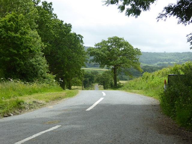
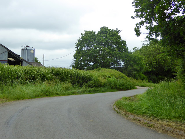
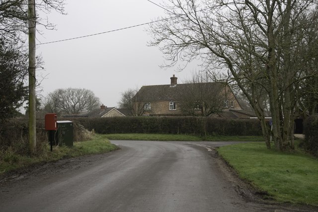
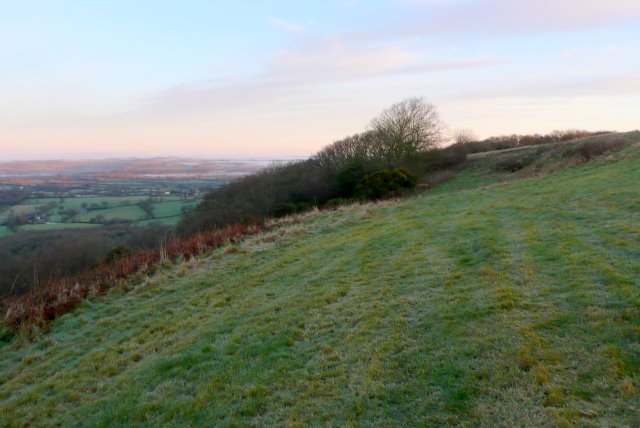
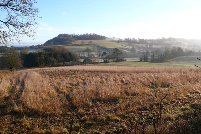
Admiral Digby's Plantation, located in Dorset, England, is a picturesque woodland area encompassing an expansive forest. Covering several acres of land, the plantation is renowned for its stunning natural beauty, rich biodiversity, and historical significance.

The plantation is named after Admiral Robert Digby, a prominent naval officer during the 18th century. It is believed that he established the plantation to serve as a source of timber for the British Navy. Today, the area stands as a testament to his vision and commitment to preserving nature.

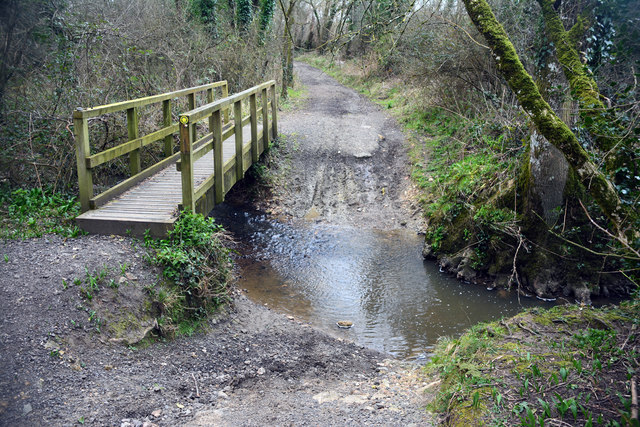
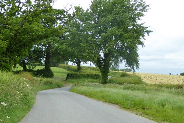
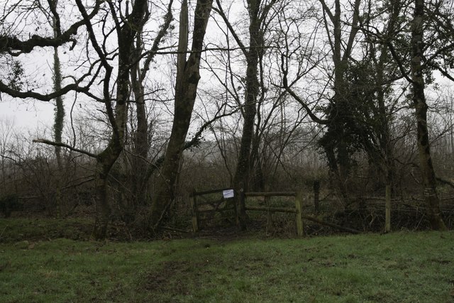
The plantation is characterized by a diverse range of trees, including oak, beech, and pine, among others. The tall, majestic trees create a dense canopy, providing shelter to various wildlife species. Visitors can explore the plantation through a network of well-maintained trails, offering an opportunity to immerse themselves in the tranquility of nature.

The woodland is home to an array of flora and fauna, making it a haven for nature enthusiasts and birdwatchers. It boasts a vibrant ecosystem, with species such as deer, squirrels, and numerous bird species, including woodpeckers and owls. The plantation's biodiversity is carefully managed, ensuring the preservation of the delicate balance between wildlife and vegetation.

In addition to its natural beauty, Admiral Digby's Plantation offers recreational activities for visitors. The trails are ideal for walking, jogging, or cycling, allowing individuals to engage in outdoor pursuits while surrounded by the serenity of the forest. The plantation also hosts educational programs and events, promoting environmental awareness and the importance of conservation.

Overall, Admiral Digby's Plantation in Dorset is a captivating destination that combines history, natural beauty, and recreational opportunities. Its well-preserved woodland and diverse ecosystem make it a cherished asset for locals and an enchanting experience for visitors seeking respite in nature.

If you have any feedback on the listing, please let us know in the comments section below.

Admiral Digby's Plantation Images

Images are sourced within 2km of 50.867304/-2.5072708 or Grid Reference ST6407. Thanks to Geograph Open Source API. All images are credited.

Benchmark on Remedy House, near Hermitage Ordnance Survey benchmark, described on database at <span class="nowrap"><a title="http://www.bench-marks.org.uk/bm71318" rel="nofollow ugc noopener" href="http://www.bench-marks.org.uk/bm71318">Link</a><img style="margin-left:2px;" alt="External link" title="External link - shift click to open in new window" src="https://s1.geograph.org.uk/img/external.png" width="10" height="10"/></span>. See also <a href="https://www.geograph.org.uk/photo/4723466">ST6405 : Remedy House gate, near Hermitage</a>.
Benchmark on Remedy House, near Hermitage
Ordnance Survey benchmark, described on database at LinkExternal link. See also ST6405 : Remedy House gate, near Hermitage.
Remedy House gate, near Hermitage There is an Ordnance Survey benchmark on the right-hand side of the gable end of this house. See <a href="https://www.geograph.org.uk/photo/4723461">ST6405 : Benchmark on Remedy House, near Hermitage</a>
Ordnance Survey benchmark, described on database at <span class="nowrap"><a title="http://www.bench-marks.org.uk/bm71318" rel="nofollow ugc noopener" href="http://www.bench-marks.org.uk/bm71318">Link</a><img style="margin-left:2px;" alt="External link" title="External link - shift click to open in new window" src="https://s1.geograph.org.uk/img/external.png" width="10" height="10"/></span>.
Remedy House gate, near Hermitage
There is an Ordnance Survey benchmark on the right-hand side of the gable end of this house. See ST6405 : Benchmark on Remedy House, near Hermitage Ordnance Survey benchmark, described on database at LinkExternal link.
Leigh Ford This ford is found on Long Bridge Drove near Leigh.
Leigh Ford
This ford is found on Long Bridge Drove near Leigh.
Road towards Hilfield church Looking from the junction by Hilfield Manor.
Road towards Hilfield church
Looking from the junction by Hilfield Manor.
Hermitage Lane Heading towards Hermitage.
Hermitage Lane
Heading towards Hermitage.
Lane north from Hermitage A field cut for silage on the right has attracted a great many rooks.
Lane north from Hermitage
A field cut for silage on the right has attracted a great many rooks.
Lane bend, Higher Holnest
Hedgerow trees and Common Wood Near, or possibly formerly part of, Holnest Park.
Hedgerow trees and Common Wood
Near, or possibly formerly part of, Holnest Park.
Old Milestone by the A352, Middlemarsh Common Carved stone post by the A352, in parish of MINTERNE MAGNA (WEST DORSET District), between Middlemarsh and B3146 junction, on grass verge against hedge, opposite farm buildings, on West side of road. Dorset 3 (limestone), erected by the Sherborne turnpike trust in the 19th century. 

Inscription reads:-
DORCHESTER
13
SHERBORNE
6
Carved benchmark (damaged) lower centre of front face.

Milestone Society National ID: DO_SBDO06.
Old Milestone by the A352, Middlemarsh Common
Carved stone post by the A352, in parish of MINTERNE MAGNA (WEST DORSET District), between Middlemarsh and B3146 junction, on grass verge against hedge, opposite farm buildings, on West side of road. Dorset 3 (limestone), erected by the Sherborne turnpike trust in the 19th century. Inscription reads:- DORCHESTER 13 SHERBORNE 6 Carved benchmark (damaged) lower centre of front face. Milestone Society National ID: DO_SBDO06.
Hartley Manor Farm
Hartley Manor Farm
Pond Farm From the footpath to Hermitage.
Pond Farm
From the footpath to Hermitage.
Bartlett's Corner, Hermitage
Library in Phone Box, Hermitage
Entrance to Prince's Wood, Hermitage
Old Mission Hall, Hermitage There is an Ordnance Survey benchmark on this building. See <a href="https://www.geograph.org.uk/photo/5650996">ST6406 : Benchmark on old Mission Hall, Hermitage</a>.
Old Mission Hall, Hermitage
There is an Ordnance Survey benchmark on this building. See ST6406 : Benchmark on old Mission Hall, Hermitage.
Benchmark on old Mission Hall, Hermitage Ordnance Survey benchmark described on database at <span class="nowrap"><a title="http://www.bench-marks.org.uk/bm91954" rel="nofollow ugc noopener" href="http://www.bench-marks.org.uk/bm91954">Link</a><img style="margin-left:2px;" alt="External link" title="External link - shift click to open in new window" src="https://s1.geograph.org.uk/img/external.png" width="10" height="10"/></span>. See also <a href="https://www.geograph.org.uk/photo/5650994">ST6406 : Old Mission Hall, Hermitage</a>.
Benchmark on old Mission Hall, Hermitage
Ordnance Survey benchmark described on database at LinkExternal link. See also ST6406 : Old Mission Hall, Hermitage.
Benchmark on Totnell Lodge, near Leigh Ordnance Survey benchmark described on database at <span class="nowrap"><a title="http://www.bench-marks.org.uk/bm93540" rel="nofollow ugc noopener" href="http://www.bench-marks.org.uk/bm93540">Link</a><img style="margin-left:2px;" alt="External link" title="External link - shift click to open in new window" src="https://s1.geograph.org.uk/img/external.png" width="10" height="10"/></span>. See also <a href="https://www.geograph.org.uk/photo/5696624">ST6208 : Totnell Lodge, near Leigh, Dorset</a>.
Benchmark on Totnell Lodge, near Leigh
Ordnance Survey benchmark described on database at LinkExternal link. See also ST6208 : Totnell Lodge, near Leigh, Dorset.
Totnell Lodge, near Leigh, Dorset There is an Ordnance Survey benchmark on this building. See <a href="https://www.geograph.org.uk/photo/5696623">ST6208 : Benchmark on Totnell Lodge, near Leigh</a>
Totnell Lodge, near Leigh, Dorset
There is an Ordnance Survey benchmark on this building. See ST6208 : Benchmark on Totnell Lodge, near Leigh
Show me another place!

Admiral Digby's Plantation is located at Grid Ref: ST6407 (Lat: 50.867304, Lng: -2.5072708)

Unitary Authority: Dorset

Police Authority: Dorset

What 3 Words

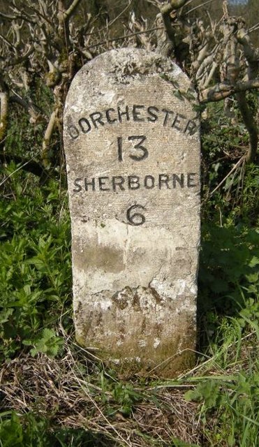
///factored.remake.juniors. Near Yetminster, Dorset

Related Wikis

Hermitage, Dorset

Hermitage is a small village and civil parish in the county of Dorset in southern England. It is situated in the Blackmore Vale under the scarp of the...

Holnest

Holnest is a village and civil parish in the county of Dorset in southern England. It lies in the Blackmore Vale 4 miles (6.4 km) south of Sherborne. It...

Telegraph Hill, Dorset

Telegraph Hill (267 metres, 876 feet high) is a hill about 1 mile northwest of Minterne Magna and about 10 miles north of Dorchester in the county of Dorset...

Cerne, Totcombe and Modbury Hundred

Cerne, Totcombe and Modbury Hundred was a hundred in the county of Dorset, England. Some of its tithings and parishes were exclaves which indicates that...

Leigh, Dorset

Leigh ( ) is a village and civil parish in the county of Dorset in southern England, situated approximately 5 miles (8.0 km) south-southwest of Sherborne...

Hilfield

Hilfield is a small, scattered village and civil parish in west Dorset, England, situated under the scarp face of the Dorset Downs 7 miles (11 km) south...

Dogbury Hill

At 248 metres (814 ft), Dogbury Hill is one of the highest hills in the county of Dorset, England. It is the site of a prehistoric hill fort. == Location... ==

Glanvilles Wootton

Glanvilles Wootton, or Wootton Glanville, is a village and civil parish in the county of Dorset in southern England. It is situated in the Blackmore Vale...

Related Videos

Stockbridge Farm Barn Wedding Venue

It was wonderful to be asked to film the beautiful Stockbridge Farm Barn in the heart of the Dorset countryside. For more details on ...

JSA Phairytale Ballerina 2015 Pale dappled buckskin mare - Sold

2015 Oldenburg book 1 Buckskin Mare by KWPN 2013 licensing champion Fairytale (Lord Leatherdale x Negro) out of a mare by ...

Nearby Amenities

Located within 500m of 50.867304,-2.5072708
Material: wood
Power: pole
Source: bing
Lat/Long: 50.8693032/-2.5014682
Material: wood
Power: pole
Source: bing
Lat/Long: 50.8700276/-2.5025012
Material: wood
Power: pole
Source: bing
Lat/Long: 50.8708265/-2.5036463
The data included in this document is from www.openstreetmap.org. The data is made available under ODbL.

Have you been to Admiral Digby's Plantation?

Leave your review of Admiral Digby's Plantation below (or comments, questions and feedback).