Hermitage

Settlement in Dorset

England

Hermitage

Benchmark on Remedy House, near Hermitage Ordnance Survey benchmark, described on database at <span class="nowrap"><a title="http://www.bench-marks.org.uk/bm71318" rel="nofollow ugc noopener" href="http://www.bench-marks.org.uk/bm71318">Link</a><img style="margin-left:2px;" alt="External link" title="External link - shift click to open in new window" src="https://s1.geograph.org.uk/img/external.png" width="10" height="10"/></span>. See also <a href="https://www.geograph.org.uk/photo/4723466">ST6405 : Remedy House gate, near Hermitage</a>.
Benchmark on Remedy House, near Hermitage Credit: Becky Williamson

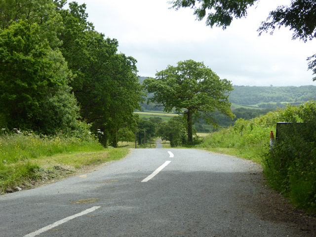
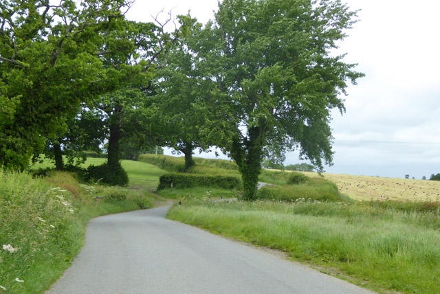
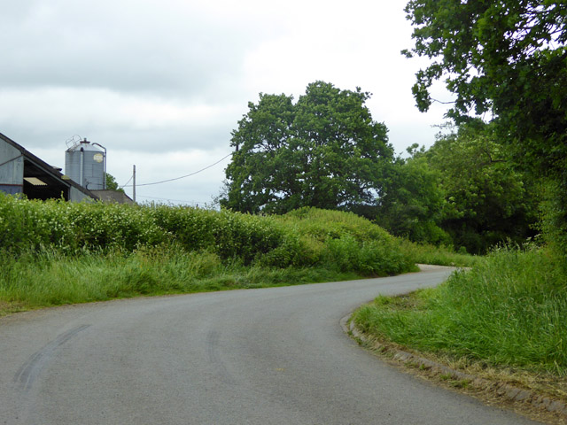
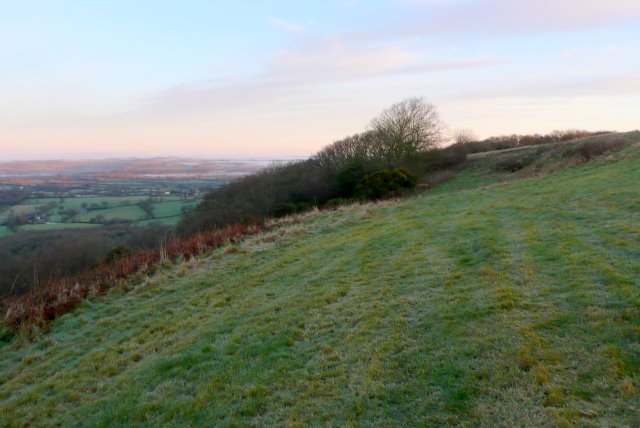
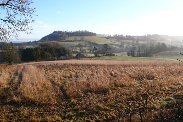
Hermitage is a picturesque village located in the county of Dorset, England. Situated in the heart of the West Dorset Area of Outstanding Natural Beauty, Hermitage is surrounded by stunning countryside and offers residents and visitors a tranquil and idyllic setting.

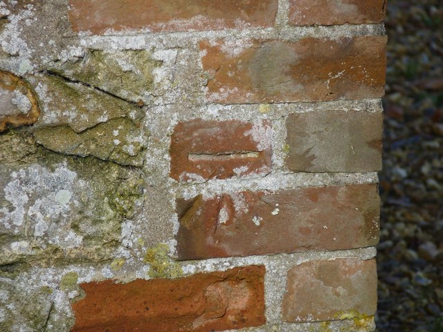
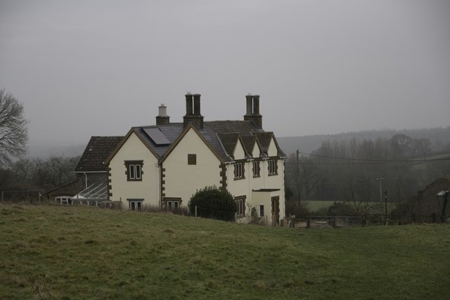
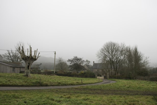
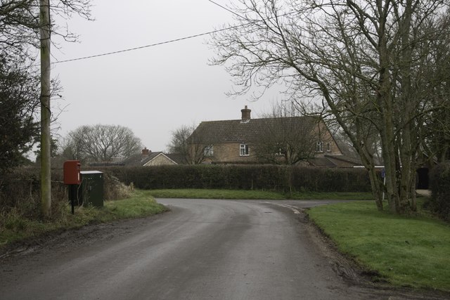
The village itself is small, with a population of around 300 people. It is characterized by charming thatched cottages, narrow winding lanes, and a quaint village green. The architecture in Hermitage reflects its historic past, with some buildings dating back to the 17th century.

Despite its size, Hermitage boasts a strong sense of community. The village is home to a vibrant local pub, The Hermitage Arms, which serves as a hub for socializing and local events. Additionally, there is a village hall that hosts various activities and gatherings throughout the year.

Nature enthusiasts will find plenty to explore in the surrounding area. The village is located close to the River Frome, which offers opportunities for fishing and boating. The nearby countryside is crisscrossed with footpaths and bridleways, making it ideal for walking, cycling, and horse riding.

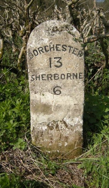
Hermitage is conveniently located near the town of Dorchester, which provides residents with access to a range of amenities and services. The village is also within easy reach of the Jurassic Coast, a UNESCO World Heritage Site known for its stunning cliffs and fossil-rich beaches.

In summary, Hermitage in Dorset is a charming and peaceful village that offers a close-knit community, beautiful countryside, and easy access to nearby towns and natural attractions.

If you have any feedback on the listing, please let us know in the comments section below.
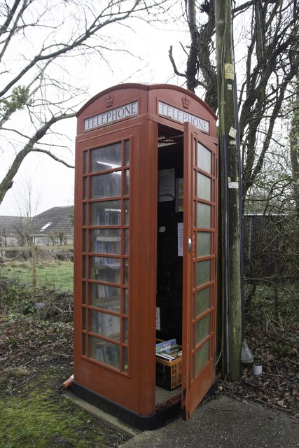
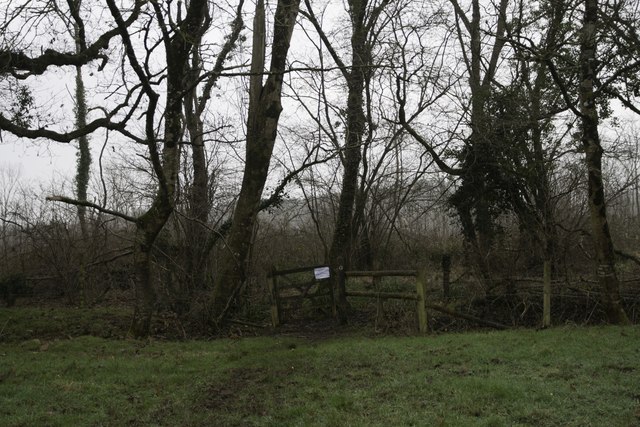
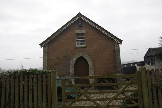
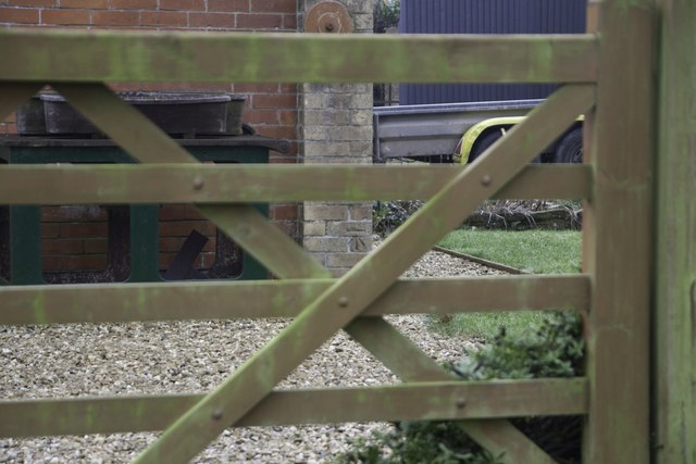
Hermitage Images

Images are sourced within 2km of 50.862551/-2.4999443 or Grid Reference ST6407. Thanks to Geograph Open Source API. All images are credited.

Benchmark on Remedy House, near Hermitage Ordnance Survey benchmark, described on database at <span class="nowrap"><a title="http://www.bench-marks.org.uk/bm71318" rel="nofollow ugc noopener" href="http://www.bench-marks.org.uk/bm71318">Link</a><img style="margin-left:2px;" alt="External link" title="External link - shift click to open in new window" src="https://s1.geograph.org.uk/img/external.png" width="10" height="10"/></span>. See also <a href="https://www.geograph.org.uk/photo/4723466">ST6405 : Remedy House gate, near Hermitage</a>.
Benchmark on Remedy House, near Hermitage
Ordnance Survey benchmark, described on database at LinkExternal link. See also ST6405 : Remedy House gate, near Hermitage.
Remedy House gate, near Hermitage There is an Ordnance Survey benchmark on the right-hand side of the gable end of this house. See <a href="https://www.geograph.org.uk/photo/4723461">ST6405 : Benchmark on Remedy House, near Hermitage</a>
Ordnance Survey benchmark, described on database at <span class="nowrap"><a title="http://www.bench-marks.org.uk/bm71318" rel="nofollow ugc noopener" href="http://www.bench-marks.org.uk/bm71318">Link</a><img style="margin-left:2px;" alt="External link" title="External link - shift click to open in new window" src="https://s1.geograph.org.uk/img/external.png" width="10" height="10"/></span>.
Remedy House gate, near Hermitage
There is an Ordnance Survey benchmark on the right-hand side of the gable end of this house. See ST6405 : Benchmark on Remedy House, near Hermitage Ordnance Survey benchmark, described on database at LinkExternal link.
Road towards Hilfield church Looking from the junction by Hilfield Manor.
Road towards Hilfield church
Looking from the junction by Hilfield Manor.
Hermitage Lane Heading towards Hermitage.
Hermitage Lane
Heading towards Hermitage.
Lane north from Hermitage A field cut for silage on the right has attracted a great many rooks.
Lane north from Hermitage
A field cut for silage on the right has attracted a great many rooks.
Lane bend, Higher Holnest
Hedgerow trees and Common Wood Near, or possibly formerly part of, Holnest Park.
Hedgerow trees and Common Wood
Near, or possibly formerly part of, Holnest Park.
Old Milestone by the A352, Middlemarsh Common Carved stone post by the A352, in parish of MINTERNE MAGNA (WEST DORSET District), between Middlemarsh and B3146 junction, on grass verge against hedge, opposite farm buildings, on West side of road. Dorset 3 (limestone), erected by the Sherborne turnpike trust in the 19th century. 

Inscription reads:-
DORCHESTER
13
SHERBORNE
6
Carved benchmark (damaged) lower centre of front face.

Milestone Society National ID: DO_SBDO06.
Old Milestone by the A352, Middlemarsh Common
Carved stone post by the A352, in parish of MINTERNE MAGNA (WEST DORSET District), between Middlemarsh and B3146 junction, on grass verge against hedge, opposite farm buildings, on West side of road. Dorset 3 (limestone), erected by the Sherborne turnpike trust in the 19th century. Inscription reads:- DORCHESTER 13 SHERBORNE 6 Carved benchmark (damaged) lower centre of front face. Milestone Society National ID: DO_SBDO06.
Old Milestone by the old A352, Lyon's Gate Carved stone post by the A352, in parish of MINTERNE MAGNA (WEST DORSET District), Lyons gate, on the old road, Northern end, on West side of road. Dorset 3 (limestone), erected by the Sherborne turnpike trust in the 19th century. 

Inscription reads:-
DORCHESTER
11
MILES
SHERBORNE
8

Milestone Society National ID: DO_SBDO08.
Old Milestone by the old A352, Lyon's Gate
Carved stone post by the A352, in parish of MINTERNE MAGNA (WEST DORSET District), Lyons gate, on the old road, Northern end, on West side of road. Dorset 3 (limestone), erected by the Sherborne turnpike trust in the 19th century. Inscription reads:- DORCHESTER 11 MILES SHERBORNE 8 Milestone Society National ID: DO_SBDO08.
Hartley Manor Farm
Hartley Manor Farm
Pond Farm From the footpath to Hermitage.
Pond Farm
From the footpath to Hermitage.
Bartlett's Corner, Hermitage
Library in Phone Box, Hermitage
Entrance to Prince's Wood, Hermitage
Old Mission Hall, Hermitage There is an Ordnance Survey benchmark on this building. See <a href="https://www.geograph.org.uk/photo/5650996">ST6406 : Benchmark on old Mission Hall, Hermitage</a>.
Old Mission Hall, Hermitage
There is an Ordnance Survey benchmark on this building. See ST6406 : Benchmark on old Mission Hall, Hermitage.
Benchmark on old Mission Hall, Hermitage Ordnance Survey benchmark described on database at <span class="nowrap"><a title="http://www.bench-marks.org.uk/bm91954" rel="nofollow ugc noopener" href="http://www.bench-marks.org.uk/bm91954">Link</a><img style="margin-left:2px;" alt="External link" title="External link - shift click to open in new window" src="https://s1.geograph.org.uk/img/external.png" width="10" height="10"/></span>. See also <a href="https://www.geograph.org.uk/photo/5650994">ST6406 : Old Mission Hall, Hermitage</a>.
Benchmark on old Mission Hall, Hermitage
Ordnance Survey benchmark described on database at LinkExternal link. See also ST6406 : Old Mission Hall, Hermitage.
Farthing Gate Toll House by the A352, Holnest Toll House by the A352, in the parish of Holnest (West Dorset District), Farthing Gate Toll House, Main Road, DT9.
See <span class="nowrap"><a title="https://www.flickr.com/photos/tollhouses/2386159522" rel="nofollow ugc noopener" href="https://www.flickr.com/photos/tollhouses/2386159522">Link</a><img style="margin-left:2px;" alt="External link" title="External link - shift click to open in new window" src="https://s1.geograph.org.uk/img/external.png" width="10" height="10"/></span> for close-up of toll board.

Grade II listed.
List Entry Number: 1324162 <span class="nowrap"><a title="https://historicengland.org.uk/listing/the-list/list-entry/1324162" rel="nofollow ugc noopener" href="https://historicengland.org.uk/listing/the-list/list-entry/1324162">Link</a><img style="margin-left:2px;" alt="External link" title="External link - shift click to open in new window" src="https://s1.geograph.org.uk/img/external.png" width="10" height="10"/></span> 

Surveyed

Milestone Society National ID: DO.HOL
Farthing Gate Toll House by the A352, Holnest
Toll House by the A352, in the parish of Holnest (West Dorset District), Farthing Gate Toll House, Main Road, DT9. See LinkExternal link for close-up of toll board. Grade II listed. List Entry Number: 1324162 LinkExternal link Surveyed Milestone Society National ID: DO.HOL
Middlemarsh, The Hunter's Moon
Show me another place!

Hermitage is located at Grid Ref: ST6407 (Lat: 50.862551, Lng: -2.4999443)

Unitary Authority: Dorset

Police Authority: Dorset

What 3 Words

///kilt.exotic.poker. Near Yetminster, Dorset

Related Wikis

Hermitage, Dorset

Hermitage is a small village and civil parish in the county of Dorset in southern England. It is situated in the Blackmore Vale under the scarp of the...

Telegraph Hill, Dorset

Telegraph Hill (267 metres, 876 feet high) is a hill about 1 mile northwest of Minterne Magna and about 10 miles north of Dorchester in the county of Dorset...

Dogbury Hill

At 248 metres (814 ft), Dogbury Hill is one of the highest hills in the county of Dorset, England. It is the site of a prehistoric hill fort. == Location... ==

Cerne, Totcombe and Modbury Hundred

Cerne, Totcombe and Modbury Hundred was a hundred in the county of Dorset, England. Some of its tithings and parishes were exclaves which indicates that...

Hilfield

Hilfield is a small, scattered village and civil parish in west Dorset, England, situated under the scarp face of the Dorset Downs 7 miles (11 km) south...

Holnest

Holnest is a village and civil parish in the county of Dorset in southern England. It lies in the Blackmore Vale 4 miles (6.4 km) south of Sherborne. It...

River Cerne

The River Cerne is a ten mile long river in Dorset, England, which rises in the Chalk hills of the Dorset Downs at Minterne Magna, between High Stoy and...

Glanvilles Wootton

Glanvilles Wootton, or Wootton Glanville, is a village and civil parish in the county of Dorset in southern England. It is situated in the Blackmore Vale...

Nearby Amenities

Located within 500m of 50.862551,-2.4999443
Hermitage
Is In: Dorset, England, UK
Place: hamlet
Source: NPE
Lat/Long: 50.8593013/-2.5019926
Material: wood
Power: pole
Source: bing
Lat/Long: 50.8601017/-2.5045198
Material: wood
Power: pole
Source: bing
Lat/Long: 50.8602279/-2.5039751
Material: wood
Power: pole
Source: bing
Lat/Long: 50.8606546/-2.5021006
Material: wood
Power: pole
Source: bing
Lat/Long: 50.861218/-2.5011034
Material: wood
Power: pole
Source: bing
Lat/Long: 50.8617798/-2.5000912
Material: wood
Power: pole
Source: bing
Lat/Long: 50.8620684/-2.5003611
Material: wood
Power: pole
Source: bing
Lat/Long: 50.8626058/-2.4982655
Material: wood
Power: pole
Source: bing
Lat/Long: 50.862773/-2.5010318
Material: wood
Power: pole
Source: bing
Lat/Long: 50.8629539/-2.4980631
Material: wood
Power: pole
Source: bing
Lat/Long: 50.863194/-2.4976
Material: wood
Power: pole
Source: bing
Lat/Long: 50.8632791/-2.5011528
Material: wood
Power: pole
Source: bing
Lat/Long: 50.863437/-2.4970969
Material: wood
Power: pole
Source: bing
Lat/Long: 50.8637182/-2.4959182
Material: wood
Power: pole
Source: bing
Lat/Long: 50.8639803/-2.4947358
Material: wood
Power: pole
Source: bing
Lat/Long: 50.8644275/-2.4939313
Material: wood
Power: pole
Source: bing
Lat/Long: 50.8660259/-2.4967822
Post Box
Operator: Royal Mail
Post Box Type: lamp
Ref: DT2 198
Ref GB Uprn: 10015283608
Royal Cypher: EIIR
Royal Cypher Wikidata: Q33102113
Lat/Long: 50.8623803/-2.500091
Power: pole
Source: bing
Lat/Long: 50.8642468/-2.4935384
Power: pole
Source: bing
Lat/Long: 50.8635078/-2.4968389
Power: pole
Source: bing
Lat/Long: 50.8642087/-2.4971607
Poles: bipole
Power: pole
Source: bing
Lat/Long: 50.8652211/-2.4956332
Power: pole
Source: bing
Lat/Long: 50.865216/-2.4972412
Power: pole
Source: bing
Lat/Long: 50.8662131/-2.4973176
Direction: 165
Generator Method: photovoltaic
Generator Output Electricity: yes
Generator Solar Modules: 16
Generator Source: solar
Generator Type: solar_photovoltaic_panel
Location: roof
Power: generator
Lat/Long: 50.8601229/-2.505435
Direction: 175
Generator Method: photovoltaic
Generator Output Electricity: yes
Generator Solar Modules: 20
Generator Source: solar
Generator Type: solar_photovoltaic_panel
Location: roof
Power: generator
Lat/Long: 50.8602204/-2.5036326
Direction: 100
Generator Method: photovoltaic
Generator Output Electricity: yes
Generator Solar Modules: 16
Generator Source: solar
Generator Type: solar_photovoltaic_panel
Location: roof
Power: generator
Lat/Long: 50.8647445/-2.4990571
Direction: 100
Generator Method: photovoltaic
Generator Output Electricity: yes
Generator Solar Modules: 16
Generator Source: solar
Generator Type: solar_photovoltaic_panel
Location: roof
Power: generator
Lat/Long: 50.864714/-2.4994218
The data included in this document is from www.openstreetmap.org. The data is made available under ODbL.

Have you been to Hermitage?

Leave your review of Hermitage below (or comments, questions and feedback).