Riggs Plantation
Wood, Forest in Yorkshire Ribble Valley
England
Riggs Plantation
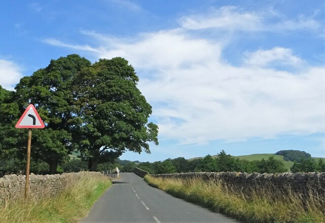
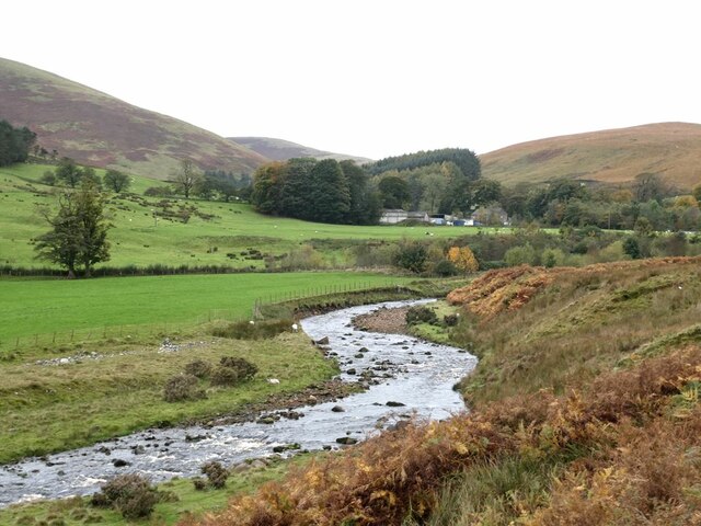
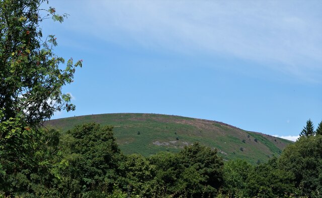
Riggs Plantation, located in Yorkshire, England, is a picturesque woodland estate known for its rich history and natural beauty. Covering a vast area in the heart of Yorkshire's forested region, the plantation offers a serene and tranquil environment for visitors.
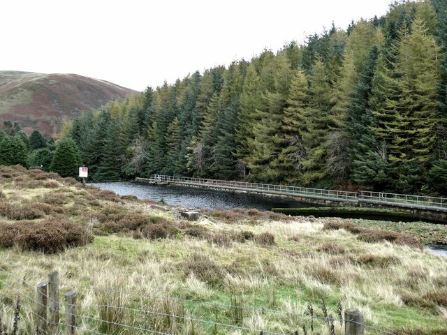
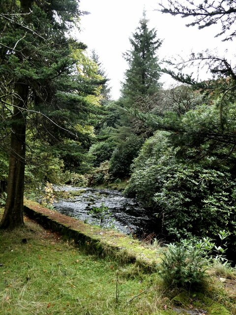
The plantation is primarily composed of dense woodlands that are home to a diverse range of flora and fauna. Towering oak, beech, and pine trees dominate the landscape, creating a majestic canopy that provides shade and shelter for the countless species that inhabit the area. The forest floor is carpeted with a variety of wildflowers, ferns, and mosses, adding to the plantation's enchanting allure.
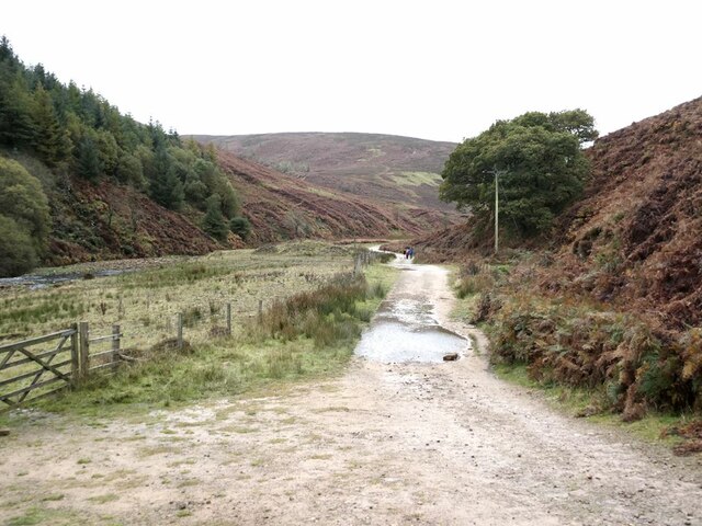
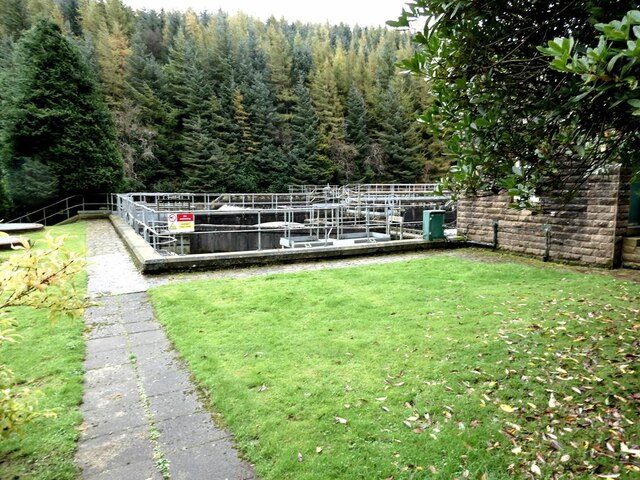
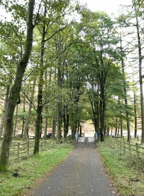
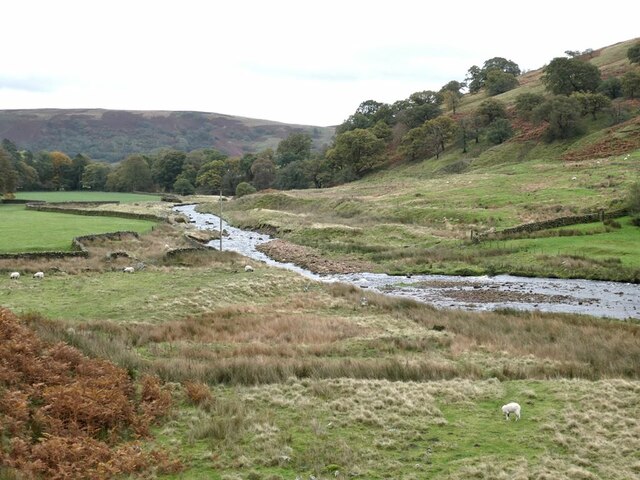
One of the notable features of Riggs Plantation is its extensive network of walking trails, which meander through the forest, allowing visitors to explore the natural wonders at their own pace. These well-maintained paths offer stunning views of the surrounding countryside and provide ample opportunities for birdwatching and wildlife spotting.
The history of Riggs Plantation dates back centuries, with records indicating its existence as early as the 14th century. Over the years, it has served as a hunting ground for noble families, a source of timber for local industries, and a recreational retreat for nature enthusiasts. Today, the plantation is owned and managed by a conservation organization dedicated to preserving its ecological integrity and providing educational programs for visitors.
Riggs Plantation, with its ancient woodlands, scenic trails, and rich history, is a true gem in Yorkshire's natural landscape. It offers a haven of tranquility and an opportunity to connect with nature, making it a must-visit destination for any nature lover or history enthusiast.
If you have any feedback on the listing, please let us know in the comments section below.
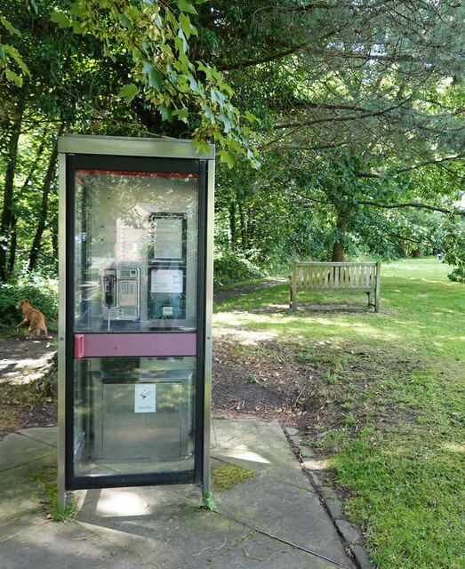
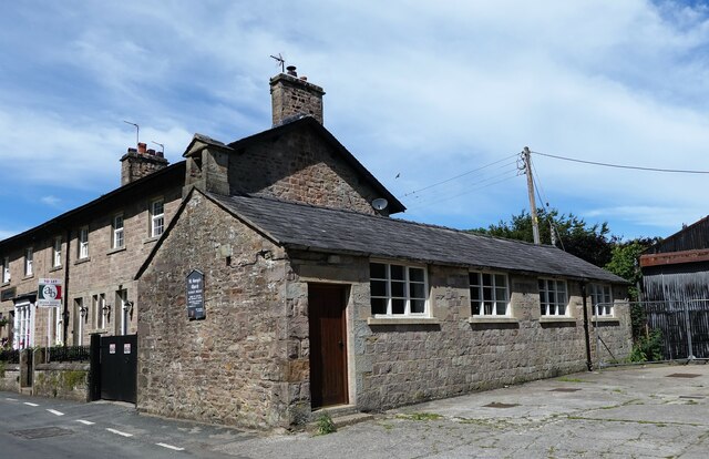
Riggs Plantation Images
Images are sourced within 2km of 53.946364/-2.5439994 or Grid Reference SD6450. Thanks to Geograph Open Source API. All images are credited.
Riggs Plantation is located at Grid Ref: SD6450 (Lat: 53.946364, Lng: -2.5439994)
Division: West Riding
Administrative County: Lancashire
District: Ribble Valley
Police Authority: Lancashire
What 3 Words
///audible.buyers.duplicity. Near Waddington, Lancashire
Nearby Locations
Related Wikis

Sykes Smelt Mill
Sykes Smelt Mill was a mediaeval mill located between Sykes and Hareden in Bowland Forest High, Lancashire, England. It stood on the banks of Langden Brook...

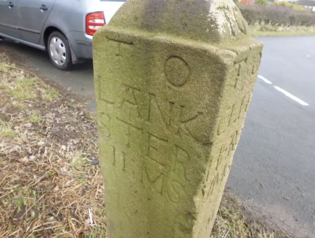
Bowland Forest High milestone
The Bowland Forest High milestone is an historic milestone marker in the English parish of Bowland Forest High, in the Trough of Bowland, Lancashire. A...

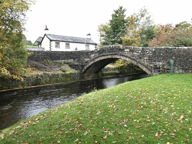
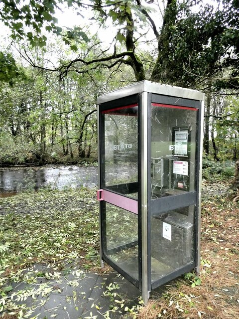
Dunsop Bridge (structure)
Dunsop Bridge is a bridge in the English village of the same name. The structure, which dates to the early 19th century, crosses the River Dunsop. A Grade...

Bowland Forest High
Bowland Forest High is a civil parish in the Ribble Valley district of Lancashire, England, covering some 20,000 acres (80 km2) of the Forest of Bowland...

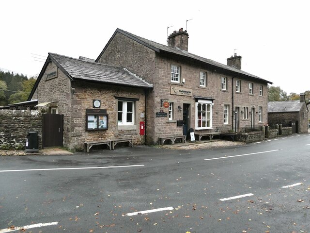
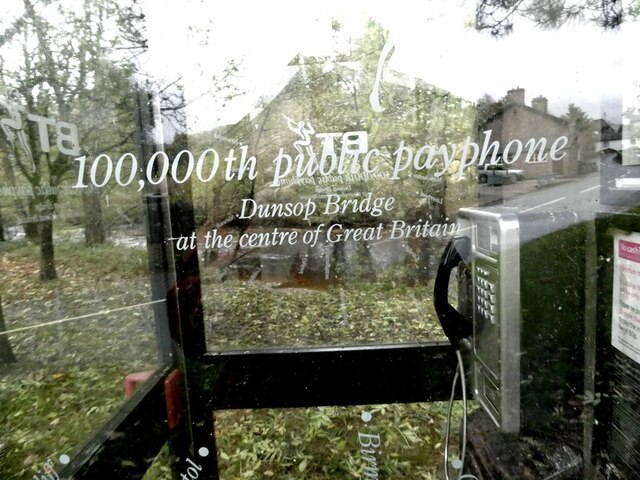
Dunsop Bridge
Dunsop Bridge is a village in the civil parish of Bowland Forest High, in the borough of Ribble Valley, Lancashire, England, 9 miles (14 km) north-west...

River Dunsop
The River Dunsop is a river in the Forest of Bowland in Northern England. It flows into the River Hodder at Dunsop Bridge.It begins at the confluence of...

Langden Brook
Langden Brook is a watercourse in the Trough of Bowland, Lancashire, England. A tributary of the River Hodder, its source is near the summit of Hawthornthwaite...

Forest of Bowland
The Forest of Bowland, also known as the Bowland Fells and formerly the Chase of Bowland, is an area of gritstone fells, deep valleys and peat moorland...
Nearby Amenities
Located within 500m of 53.946364,-2.5439994Have you been to Riggs Plantation?
Leave your review of Riggs Plantation below (or comments, questions and feedback).