Anne's Spinney
Wood, Forest in Cumberland Eden
England
Anne's Spinney
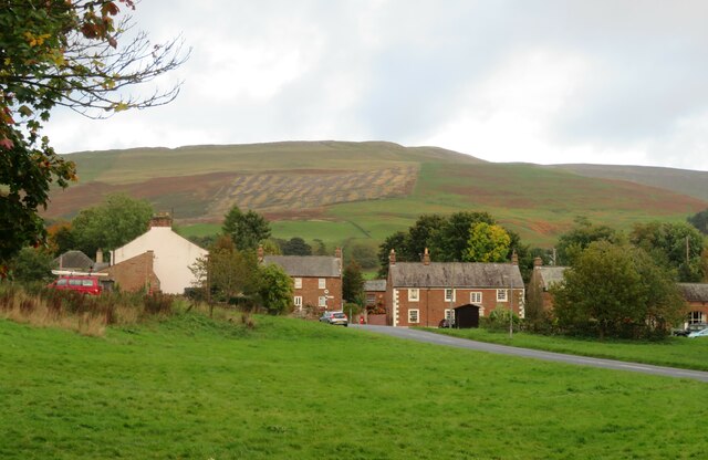
Anne's Spinney is a serene woodland area located in Cumberland, a county in the northwestern part of England. This enchanting spinney is tucked away amidst the picturesque landscape, offering a peaceful retreat for nature enthusiasts and those seeking tranquility.
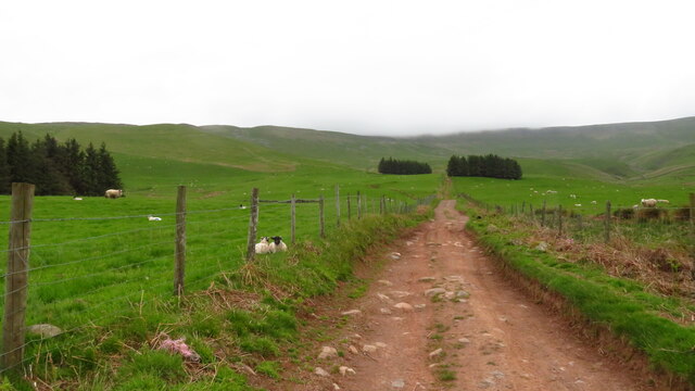
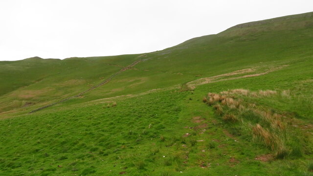
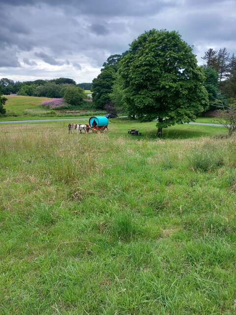
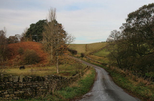
Covering an area of approximately 100 acres, Anne's Spinney is predominantly composed of a variety of wood and forest. The area is characterized by an assortment of mature trees, including oak, beech, and birch, which create a dense canopy overhead. The forest floor is adorned with a carpet of vibrant wildflowers, adding bursts of color to the surroundings.
The spinney is intersected by several winding trails, making it an ideal location for leisurely walks and exploration. As visitors meander through the woodland, they are likely to encounter an array of wildlife, including birds, squirrels, and rabbits. The peaceful ambience of Anne's Spinney offers the perfect opportunity for birdwatching and immersing oneself in the sights and sounds of nature.
In addition to its natural beauty, Anne's Spinney also holds historical significance. It is believed that the spinney was named after Anne, a local resident who was known for her love of nature and dedication to preserving the environment. Her legacy lives on through this woodland, which serves as a testament to her commitment to conservation.
Overall, Anne's Spinney in Cumberland is a breathtaking woodland area, offering a sanctuary for both nature lovers and history enthusiasts. With its lush greenery, diverse wildlife, and tranquil atmosphere, it provides an ideal escape from the hustle and bustle of everyday life.
If you have any feedback on the listing, please let us know in the comments section below.
Anne's Spinney Images
Images are sourced within 2km of 54.720879/-2.5826732 or Grid Reference NY6236. Thanks to Geograph Open Source API. All images are credited.
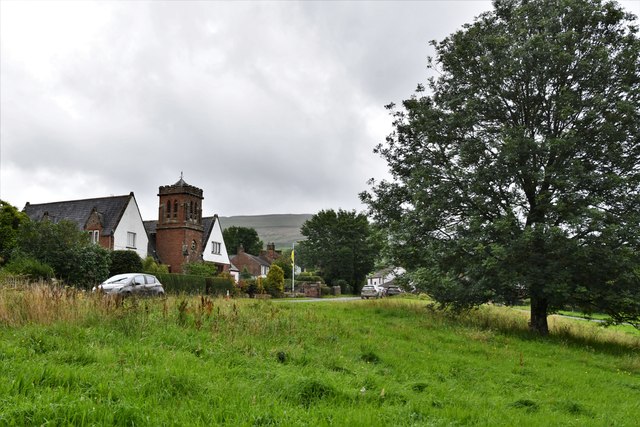
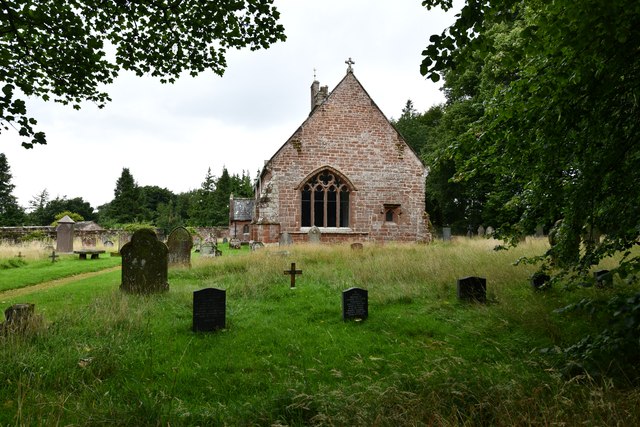
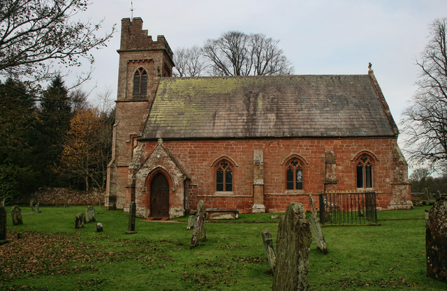
![Church of St John the Baptist, Melmerby Not a very interesting looking church from the outside, and Pevsner [Buildings of England - Cumberland & Westmorland] describes it in just 7 lines, but even he seemed unsure if most of the building is of 1849 or 1895.](https://s1.geograph.org.uk/geophotos/07/02/09/7020961_42d7b5c4.jpg)
Anne's Spinney is located at Grid Ref: NY6236 (Lat: 54.720879, Lng: -2.5826732)
Administrative County: Cumbria
District: Eden
Police Authority: Cumbria
What 3 Words
///swerving.notice.curbed. Near Penrith, Cumbria
Nearby Locations
Related Wikis

Melmerby, Cumbria
Melmerby is a village and civil parish in the Eden district, in the county of Cumbria, England. It is a small village with a population of around 200....

Ousby
Ousby is a village and civil parish in Eden district, in the English county of Cumbria. It is a Thankful Village, one of 52 parishes in England and Wales...

St John's Church, Gamblesby
St. John's Church was a Victorian parish Church of England church in the village of Gamblesby, Cumbria, England.The Gothic Revival-style church, with tall...
Gamblesby
Gamblesby is a village near Melmerby, and former civil parish, now in the parish of Glassonby, in the Westmorland and Furness district, in the ceremonial...

Skirwith
Skirwith is a village and former civil parish, now in the parish of Culgaith, in the Eden district, in the county of Cumbria, England. In 1931 the parish...

Unthank, Glassonby
Unthank is a village near Gamblesby in the civil parish of Glassonby in Cumbria, England. It is first mentioned in writing as Unthanke in 1332. == See... ==

Skirwith Abbey
Skirwith Abbey is a country house in Skirwith, Cumbria, England. The House is a two-storey house of five by three bays, built by Thomas Addison, mason...

Hunsonby
Hunsonby is a village and civil parish in the Eden district of Cumbria, England, 7 miles (11 km) north east of Penrith. The parish is located 28 miles...
Nearby Amenities
Located within 500m of 54.720879,-2.5826732Have you been to Anne's Spinney?
Leave your review of Anne's Spinney below (or comments, questions and feedback).