Brunt Sike Wood

Wood, Forest in Yorkshire South Lakeland

England

Brunt Sike Wood

M6 The M6 motorway runs from junction 19 of the M1 at the Catthorpe Interchange, near Rugby to the Gretna junction (J45). Here it becomes the A74(M) and M74 which continues to Glasgow.

The M6 is the longest motorway in the United Kingdom (232 miles) and one of the busiest. It incorporates the first length of motorway opened in the UK (the Preston bypass in 1958) and forms part of a motorway "Backbone of Britain", running north-south between London and Glasgow via the industrial north of England. It is also part of the east-west route between the Midlands and the east coast ports.
M6 Credit: N Chadwick

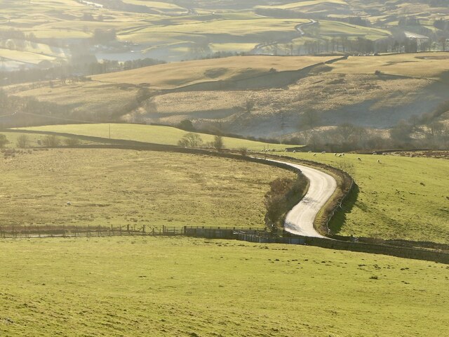
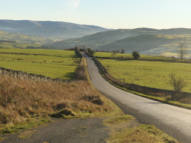
Brunt Sike Wood is a picturesque woodland located in the heart of Yorkshire, England. Spanning over a vast area of land, it is renowned for its natural beauty and diverse ecosystem. The wood is situated on the outskirts of a small village, providing a tranquil retreat for both locals and visitors alike.

The woodland is predominantly made up of deciduous trees, including oak, beech, and ash, which create a dense canopy overhead. These trees offer a sheltered habitat for a variety of wildlife, such as deer, badgers, and numerous bird species. The forest floor is adorned with a vibrant carpet of bluebells in the springtime, adding a splash of color to the already enchanting landscape.

Visitors can explore Brunt Sike Wood through a network of well-maintained footpaths and trails. These pathways wind through the wood, leading to hidden clearings and secluded spots where one can pause and appreciate the serenity of nature. The wood is also home to a small stream, known as Brunt Sike, which meanders through the forest, providing a soothing soundtrack to accompany a leisurely stroll.

Nature enthusiasts will find Brunt Sike Wood to be a veritable treasure trove of flora and fauna. It offers a unique opportunity to observe and connect with the natural world, providing a respite from the hustle and bustle of daily life. Whether it is for a peaceful walk, wildlife spotting, or simply to appreciate the beauty of the surroundings, Brunt Sike Wood is a haven for those seeking solace in nature.

If you have any feedback on the listing, please let us know in the comments section below.

Brunt Sike Wood Images

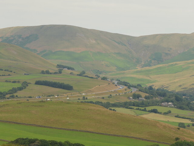
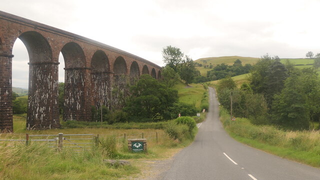
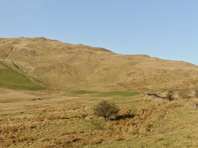
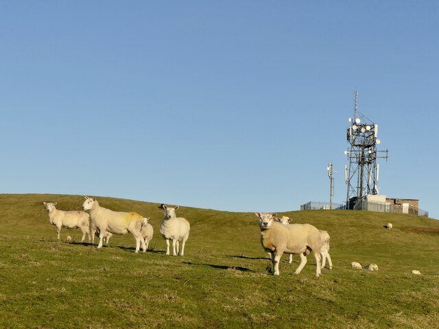
Images are sourced within 2km of 54.365189/-2.5776712 or Grid Reference SD6296. Thanks to Geograph Open Source API. All images are credited.

M6 The M6 motorway runs from junction 19 of the M1 at the Catthorpe Interchange, near Rugby to the Gretna junction (J45). Here it becomes the A74(M) and M74 which continues to Glasgow.

The M6 is the longest motorway in the United Kingdom (232 miles) and one of the busiest. It incorporates the first length of motorway opened in the UK (the Preston bypass in 1958) and forms part of a motorway "Backbone of Britain", running north-south between London and Glasgow via the industrial north of England. It is also part of the east-west route between the Midlands and the east coast ports.
M6
The M6 motorway runs from junction 19 of the M1 at the Catthorpe Interchange, near Rugby to the Gretna junction (J45). Here it becomes the A74(M) and M74 which continues to Glasgow. The M6 is the longest motorway in the United Kingdom (232 miles) and one of the busiest. It incorporates the first length of motorway opened in the UK (the Preston bypass in 1958) and forms part of a motorway "Backbone of Britain", running north-south between London and Glasgow via the industrial north of England. It is also part of the east-west route between the Midlands and the east coast ports.
View towards M^ and Dillicar Knott
OS Bench Mark OS cut bench mark from the 19th century levelling, on the corner of Rose Cottage. 469.3 feet above old datum. Badly eroded and almost illegible.
OS Bench Mark
OS cut bench mark from the 19th century levelling, on the corner of Rose Cottage. 469.3 feet above old datum. Badly eroded and almost illegible.
M6, Lunedale
M6, Lunedale
Castley A farm at the foot of Fell Head.
Castley
A farm at the foot of Fell Head.
Tarnhouse Barn
Tarnhouse Barn
Fields around the Chapel Beck The chapel which gives its name to the beck is on the right.
Fields around the Chapel Beck
The chapel which gives its name to the beck is on the right.
Lowgill Viaduct On the Ingleton Branch between Tebay and Clapham. The line closed gradually with various services being withdrawn over the 1950s and 1960s with the tracks finally lifted in 1967.
Lowgill Viaduct
On the Ingleton Branch between Tebay and Clapham. The line closed gradually with various services being withdrawn over the 1950s and 1960s with the tracks finally lifted in 1967.
B6257 Passing Lowgill Viaduct.
B6257
Passing Lowgill Viaduct.
Bridge  - M6 northbound
Bridge - M6 northbound
 M6 northbound
M6 northbound
Beside the B6257 A very quiet road in Westmorland. View towards Greyrigg Pike.
Beside the B6257
A very quiet road in Westmorland. View towards Greyrigg Pike.
Sheep, Diliicar Knott
Whin's Farm beneath Fell Head, Howgill Fells.
Whin's
Farm beneath Fell Head, Howgill Fells.
B6257 A very quiet road in Westmorland.
B6257
A very quiet road in Westmorland.
B6257 A very quiet road in Westmorland.
B6257
A very quiet road in Westmorland.
Lowgill Viaduct Lowgill Viaduct, Ingleton branch. The Ingleton branch left the Skipton - Lancaster line at Clapham Junction and ran through Ingleton, Kirkby Lonsdale & Sedburgh, joining what is now the WCML at Lowgill, south of Tebay. Had the Midland and the LNWR reached agreement before parliament forced the Midland to build the S&C, this would have been the Midland’s main line to Scotland. As it was, the Midland was ordered to follow through with its plans for the S&C, and the Ingleton branch operated for around a century as a country backwater and sometime diversionary route. Opened 1861, closed to passengers 1954 and closed outright 1967.
Lowgill Viaduct
Lowgill Viaduct, Ingleton branch. The Ingleton branch left the Skipton - Lancaster line at Clapham Junction and ran through Ingleton, Kirkby Lonsdale & Sedburgh, joining what is now the WCML at Lowgill, south of Tebay. Had the Midland and the LNWR reached agreement before parliament forced the Midland to build the S&C, this would have been the Midland’s main line to Scotland. As it was, the Midland was ordered to follow through with its plans for the S&C, and the Ingleton branch operated for around a century as a country backwater and sometime diversionary route. Opened 1861, closed to passengers 1954 and closed outright 1967.
Boundary Marker Cast-iron county bridge marker at SE end of Crook of Lune Bridge. 'WR' on both faces.

Milestone Society National ID: YW_SEDB05br
Boundary Marker
Cast-iron county bridge marker at SE end of Crook of Lune Bridge. 'WR' on both faces. Milestone Society National ID: YW_SEDB05br
Show me another place!

Brunt Sike Wood is located at Grid Ref: SD6296 (Lat: 54.365189, Lng: -2.5776712)

Division: West Riding

Administrative County: Cumbria

District: South Lakeland

Police Authority: Cumbria

What 3 Words

///levels.spike.sized. Near Sedbergh, Cumbria

Related Wikis

Low Gill railway station

Low Gill railway station served the hamlet of Lowgill, Westmorland (now in Cumbria), England, from 1846 to 1966 on the Lancaster and Carlisle Railway....

Holy Trinity Church, Howgill

Holy Trinity Church stands in a country lane near the hamlet of Howgill, between Sedbergh and Tebay, Cumbria, England. It is an active Anglican church...

Beck Foot

Beck Foot is a hamlet in Cumbria, England, situated on the B6257 road south of Lowgill, the West Coast Main Line and M6 motorway. The disused Lowgill Viaduct...

Firbank

Firbank is a village and civil parish in the South Lakeland district of the English county of Cumbria. It has a population of 97. As Firbank had a population...

Nearby Amenities

Located within 500m of 54.365189,-2.5776712
Post Box
Collection Times: Mo-Fr 16:15; Sa 08:15
Drive Through: no
Post Box Type: lamp
Ref: LA8 35
Lat/Long: 54.3677304/-2.5839775
Barrier: stile
Lat/Long: 54.3681802/-2.5747435
Power: pole
Lat/Long: 54.3675494/-2.5837985
Power: pole
Lat/Long: 54.36695/-2.582826
Power: pole
Lat/Long: 54.3647809/-2.5853614
Power: pole
Lat/Long: 54.3654712/-2.5845509
Power: pole
Lat/Long: 54.3659323/-2.5840111
Power: pole
Lat/Long: 54.3662787/-2.5836037
Power: pole
Lat/Long: 54.3656522/-2.5828732
Power: pole
Lat/Long: 54.365381/-2.5817854
Power: pole
Lat/Long: 54.3650833/-2.5806132
The data included in this document is from www.openstreetmap.org. The data is made available under ODbL.

Have you been to Brunt Sike Wood?

Leave your review of Brunt Sike Wood below (or comments, questions and feedback).